The best running trails around North Fair Oaks
4.5
(51)
4,128
runners
293
runs
Jogging routes North Fair Oaks California benefit from a favorable microclimate, offering sunny and warm weather tempered by ocean and bay breezes, making it suitable for year-round outdoor activity. The area features local green spaces like Friendship Park and is influenced by the Hetch Hetchy Aqueduct, hinting at potential linear corridors. While extensive dedicated trail networks within the community are limited, its proximity to Redwood City, Atherton, and Menlo Park provides access to a broader range of running opportunities, including…
Last updated: October 11, 2026
61
runners
5.24km
00:34
20m
20m
Moderate run. Good fitness required. Mostly paved surfaces. Suitable for all skill levels.
48
runners
9.21km
00:57
10m
10m
Moderate run. Good fitness required. Mostly paved surfaces. Suitable for all skill levels.

2.0
(1)
20
runners
10.9km
01:07
10m
10m
Moderate run. Good fitness required. Mostly paved surfaces. Suitable for all skill levels.
14
runners
Moderate run. Good fitness required. Mostly paved surfaces. Suitable for all skill levels.
2.0
(1)
11
runners
6.74km
00:42
10m
10m
Moderate run. Good fitness required. Mostly paved surfaces. Suitable for all skill levels.
Get access to more routes and recommendations from other explorers.
Already have an account?
Our route recommendations are based on thousands of hikes, rides, and runs completed by other people on komoot.
Start today with a free account
Your next adventure awaits.

Tips from the Community

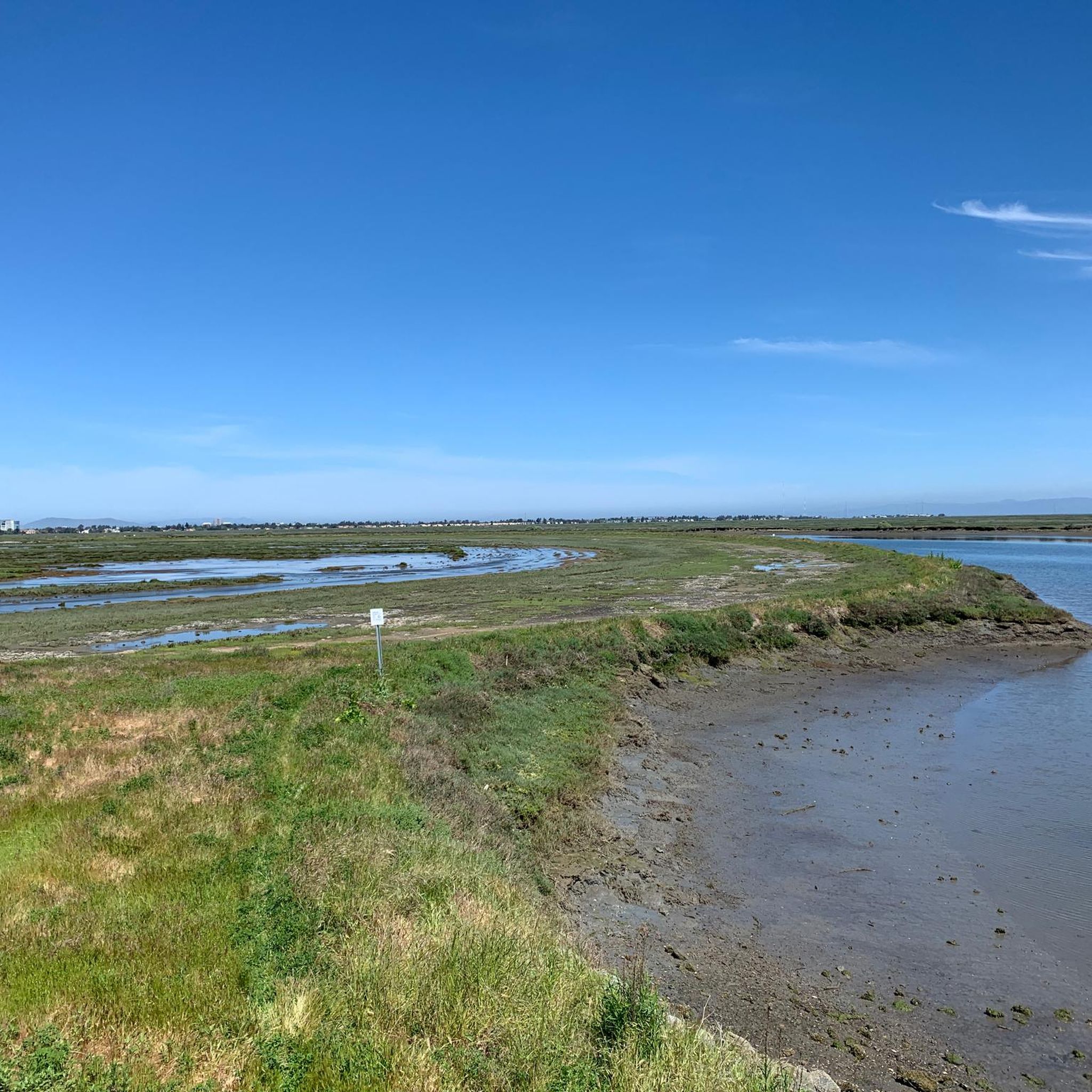
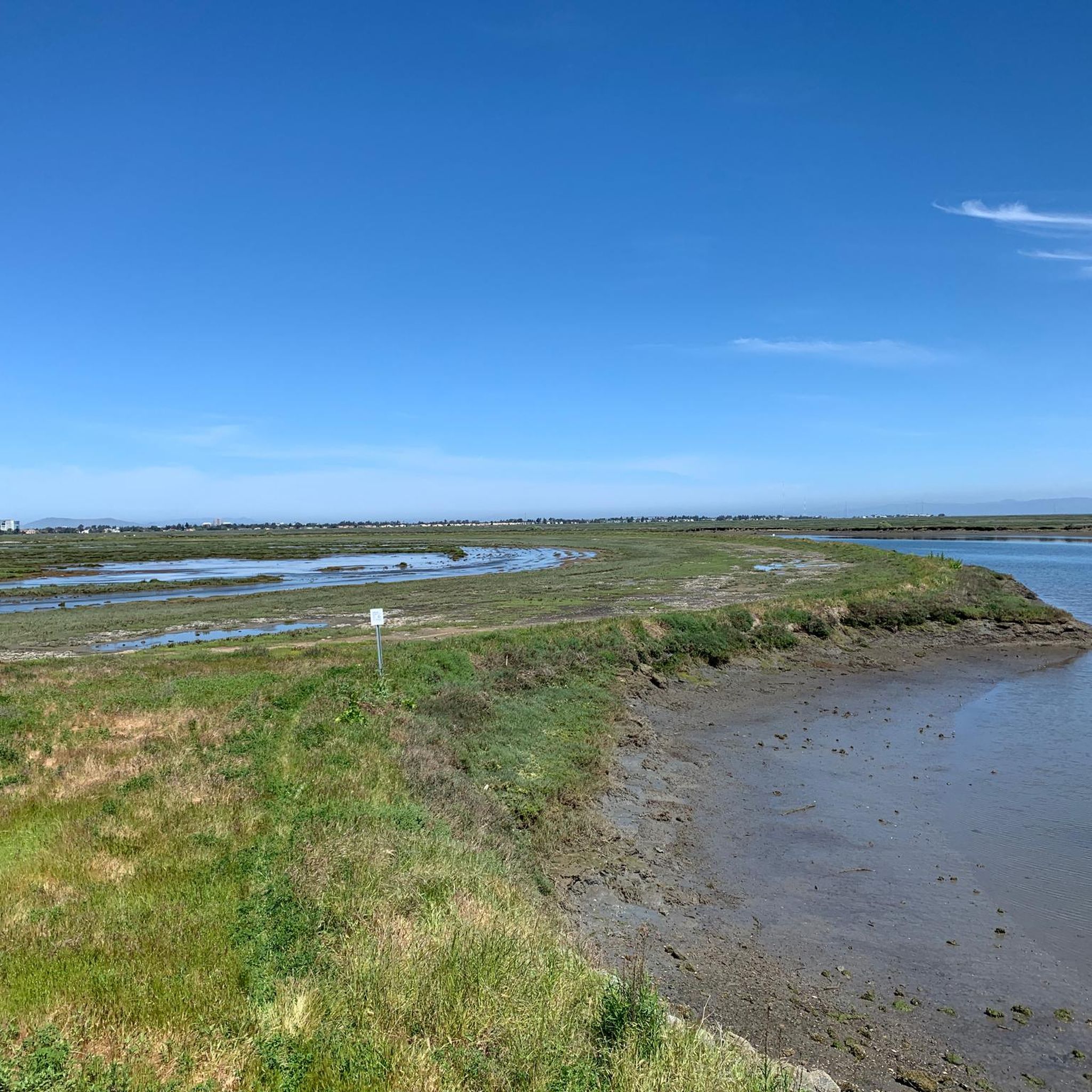
This creek starts in the foothills of the Santa Cruz mountains, running almost four miles to get to this point, where it flows into wetlands that eventually merge with San Francisco Bay.
0
0

This 160-acre park is surrounded on three sides by the San Francisco Bay National Wildlife Refuge, making it an excellent place to spot wildlife, especially of the winged variety.
1
0
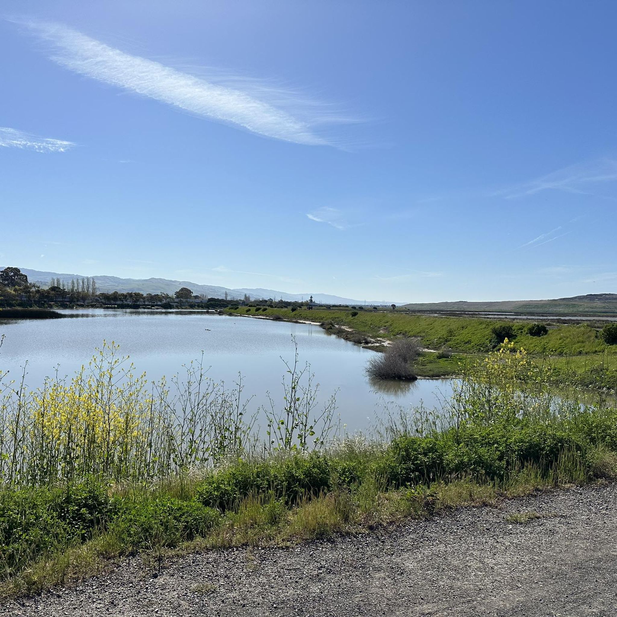
The San Francisco Bay Trail consists of over 350 miles of interconnected trails around the eponymous bay. This section, between the urban sprawl and evaporation bonds for salt mining, won't win any awards for its scenic views. However, it is a nice separate trail that allows you to ride away from road traffic.
0
0
The slow-moving, almost still water and wetlands between you and Bair Island Ecological Preserve make up Smith Slough.
0
0
This creek starts in the foothills of the Santa Cruz mountains, running almost four miles to get to this point, where it flows into wetlands leading into San Francisco Bay.
0
0

This observation deck is an excellent spot overlooking the slough to view the wildlife in the wetlands and marshes. While you're here, watch for the California clapper rail and the salt marsh harvest mouse, both endangered species protected in this area.
0
0
Bair Island, part of the Don Edwards San Francisco Bay National Wildlife Refuge, is a marsh area spanning 3,000 acres and includes three islands — the Inner, Middle and Outer Islands. This area is vital as an ecological wetland, offering habitat for numerous harbor seals and an essential stopover for migratory birds along the Pacific Flyway. The Inner Island Trail is a lovely section of the San Francisco Bay Trail, offering a chance to enjoy a beautiful stroll where you'll see plenty of waterfowl and stunning views of the bay.
0
0
This stunning park spans 160 acres and is surrounded on three sides by the Don Edwards San Francisco Bay National Wildlife Refuge. It features an extensive trail system (some paved, mostly unpaved) that is open to both hikers and cyclists, providing ample opportunity to explore the park's hills and viewpoints. There is plenty of parking, restrooms, a water bottle filling station, and lovely benches throughout the grounds, making it an ideal setting for spending a day outdoors.
0
0
Frequently Asked Questions
How many running routes are available around North Fair Oaks?
There are over 200 running routes available around North Fair Oaks, catering to various fitness levels. You'll find a good mix, with about 29 easy routes, 156 moderate routes, and 28 more challenging options.
What is the best time of year for jogging in North Fair Oaks?
North Fair Oaks benefits from a pleasant microclimate, characterized by sunny and warm weather tempered by ocean and bay breezes. This makes it comfortable for year-round outdoor pursuits like jogging, so you can enjoy the trails almost any time.
Are there any easy jogging routes suitable for beginners in North Fair Oaks?
Yes, North Fair Oaks offers several easy jogging routes perfect for beginners. For instance, the Bedwell Bayfront Park loop from Salt Evaporators is a relatively flat 3.8-mile (6.1 km) trail along the bayfront, ideal for a steady, relaxed run.
What kind of terrain can I expect on the running trails near North Fair Oaks?
The running trails around North Fair Oaks offer varied terrain. While some routes, like those along the bayfront, are relatively flat, others in the wider region, such as those near Stanford or the Water Dog Loop Trail, provide more diverse terrain and elevation changes for a challenging workout.
Are there any scenic jogging spots or points of interest along the routes?
While North Fair Oaks itself has local green spaces like Friendship Park, the broader area offers scenic spots. You might encounter interesting landmarks such as the Pulgas Water Temple or the Woodside Store (Historic Site) on routes slightly further afield. The presence of the Hetch Hetchy Aqueduct also hints at potential green corridors.
Are there any running routes that are less than 5 miles?
Absolutely. Many routes around North Fair Oaks are under 5 miles. The Bedwell Bayfront Park loop from Salt Evaporators is 3.8 miles (6.1 km), and the Cordilleras Creek – Smith Slough loop from Redwood City is 4.2 miles (6.8 km), both offering enjoyable shorter runs.
What do other runners enjoy most about jogging in North Fair Oaks?
The running routes around North Fair Oaks are highly rated by the komoot community, with an average score of 4.3 stars from over 30 reviews. Runners often praise the pleasant microclimate, the accessibility to bayfront areas, and the variety of urban parks and paved corridors available for different running experiences.
Are there any loop jogging trails in the area?
Yes, loop trails are a popular option. For example, the Running loop from Menlo Park is a 5.8-mile (9.4 km) trail that takes you through urban green spaces. Another option is the Running loop from Redwood City, which is 4.6 miles (7.4 km).
Can I find challenging running routes near North Fair Oaks?
While many local routes are moderate, for more challenging experiences with varied distances and elevations, you might explore trails slightly outside the immediate community, such as those near Stanford (like the Stanford Dish) or the Arastradero Short Loop. The guide data indicates there are 28 difficult routes in the broader area.
Are there any family-friendly jogging trails in North Fair Oaks?
For a local, family-friendly option, Friendship Park within North Fair Oaks offers a small recreational space with an urban garden and playground, suitable for light outdoor activity. For slightly longer, easy routes, consider the flatter bayfront paths like the Holbrook Palmer Park loop from Menlo Park, which is 6 miles (9.7 km) and has minimal elevation gain.
What are some natural features or landmarks I might see while running?
Beyond the local green spaces, the region is influenced by the Hetch Hetchy Aqueduct, hinting at potential linear green corridors. You might also encounter natural monuments like the Gerona Road Tree or the Giant Eucalyptus Trees at Francisquito Creek Crossing, offering interesting sights during your run.
Most popular attractions around North Fair Oaks

Get inspired with the komoot mobile app


Explore more
Browse the best Running Trails & Routes in other regions.
