The best walks and hikes around North Auburn
5.0
(28)
853
hikers
10
hikes
Hiking around North Auburn offers diverse landscapes centered around the Auburn State Recreation Area. The region is characterized by the dramatic American River Canyon, with trails winding along the North and Middle Forks of the American River. Hikers can explore oak woodlands and chaparral, and enjoy views of Lake Clementine, formed by the North Fork Dam. This area provides a variety of terrain, from riparian habitats along the rivers to steeper canyon walls.
Best hiking trails around North Auburn
- The…
Last updated: October 11, 2026
2
hikers
41.9km
12:20
1,250m
1,070m
Hard hike. Very good fitness required. Easily-accessible paths. Suitable for all skill levels.
11.7km
03:29
380m
350m
Moderate hike. Good fitness required. Easily-accessible paths. Suitable for all skill levels.

5.0
(1)
14
hikers
10.1km
02:59
310m
310m
Moderate hike. Good fitness required. Easily-accessible paths. Suitable for all skill levels.
14
hikers
7.45km
02:11
210m
190m
Moderate hike. Good fitness required. Easily-accessible paths. Suitable for all skill levels.
10
hikers
5.79km
01:49
230m
230m
Easy hike. Great for any fitness level. Easily-accessible paths. Suitable for all skill levels.
Get access to more routes and recommendations from other explorers.
Already have an account?
Our route recommendations are based on thousands of hikes, rides, and runs completed by other people on komoot.
Start today with a free account
Your next adventure awaits.
Tips from the Community

Loop road and start/end of a network of trails, including the Overlook Trail and the Western States Trail. Scenic views of the American River Canyon to the east and south
1
0

Middle Fork of the American River is a popular spot for rafting, with many trails around it. Be careful swimming in some spots as the current is strong.
0
0
The American River Canyon Overlook Park is best known for its views right there from the park, but it is also a trailhead for hikers. There is quite a bit of parking, and there is an awesome skatepark as well.
0
0

The famous Western States 100 (mile) Ultramarathon ends here in Auburn after starting on the other side of Donner Pass near Lake Tahoe. Obviously you don't have to do the entire trail but you can hike part of it to admire the natural scenery and feats of endurance that surround this trail.
0
0
The Stagecoach Trail follows the old wagon road from the confluence of the American River towards Auburn. It's a multi-use trail so keep and eye out for bikers, especially around corners. There's some shade but also a lot of exposure so be prepared with plenty of water if you're hear in the summer.
0
0
Beautiful trail that parallels the river. Keep an eye out for a short spur trail to Clark's Hole for a swim in the river. Be sure to bring plenty of water and avoid the hottest part of the day in summer because it can be sweltering.
1
0

Frequently Asked Questions
How many hiking trails are available in North Auburn?
North Auburn offers a wide variety of hiking opportunities, with over 50 routes recorded on komoot. These trails cater to different skill levels, including 19 easy, 34 moderate, and 2 difficult options.
What are the best trails for beginners or those looking for an easy hike?
For an easy and scenic outing, consider the Robie Point Fuelbreak & Western States Trail loop, which is about 4 km long. Another great option is the Stagecoach Trail, an easy-graded 5.8 km path through the American River Canyon, popular for its panoramic views.
Are there any trails with waterfalls in the North Auburn area?
Yes, the region is known for its natural beauty, including waterfalls. The North Fork Dam, which forms Lake Clementine, creates an impressive waterfall, especially in late winter or early spring during runoff. You can get views of this on the Clementine Trail to North Fork Dam. Additionally, the Codfish Falls Trail (not listed in this guide but a local favorite) leads to a beautiful 40-foot waterfall.
What kind of landscapes can I expect to see while hiking in North Auburn?
Hiking in North Auburn offers diverse landscapes, primarily centered around the dramatic American River Canyon. You'll find trails winding along the North and Middle Forks of the American River, passing through shaded oak woodlands and chaparral. Many routes also provide scenic views of Lake Clementine and the surrounding canyon walls.
Are there any family-friendly hiking options in North Auburn?
Many trails in North Auburn are suitable for families. The easy-graded paths like the Stagecoach Trail are excellent choices. The Clark's Hole Trail (a local favorite not in this guide) is also known as a family-friendly hike leading to a popular swimming hole on the North Fork American River.
What are some notable landmarks or points of interest along the trails?
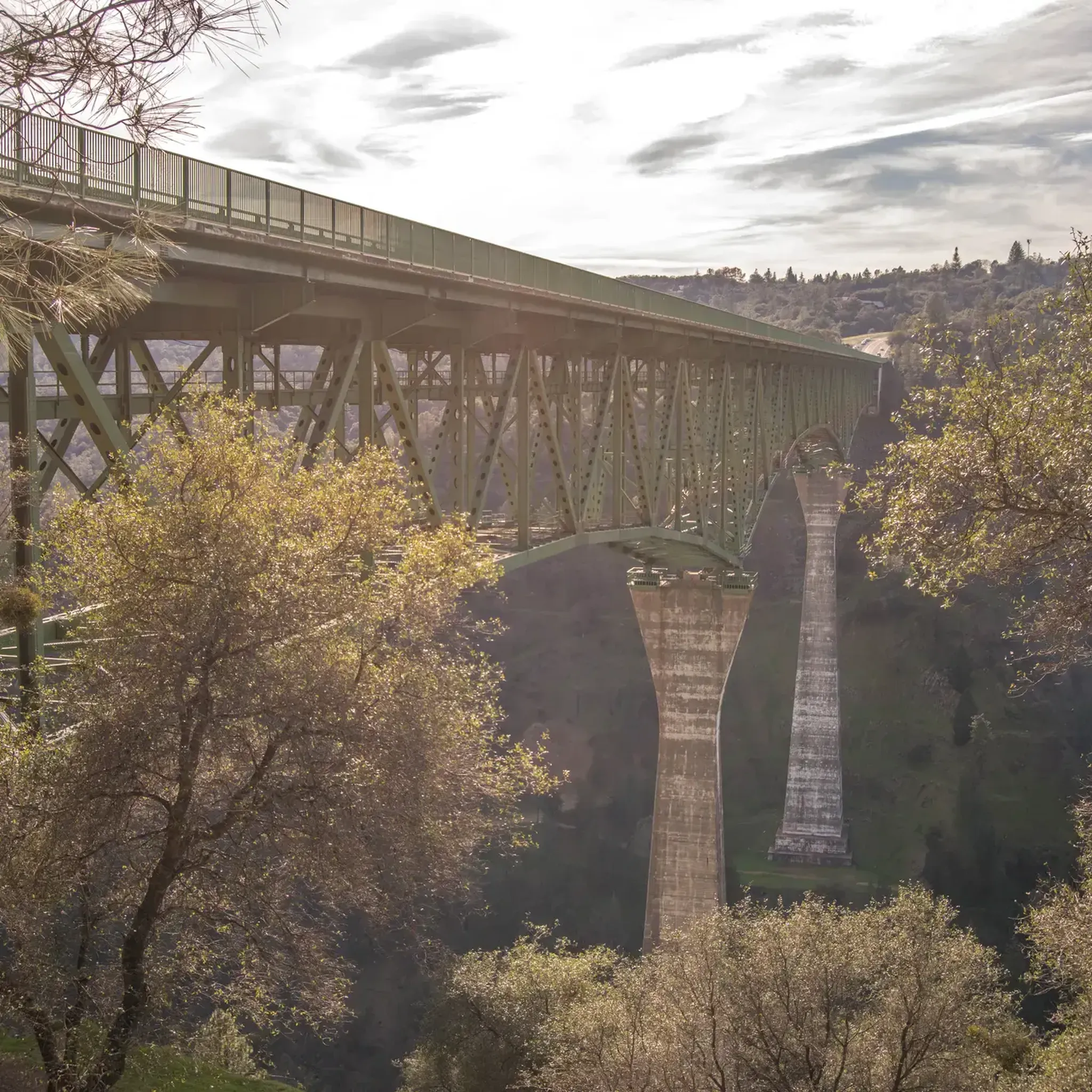
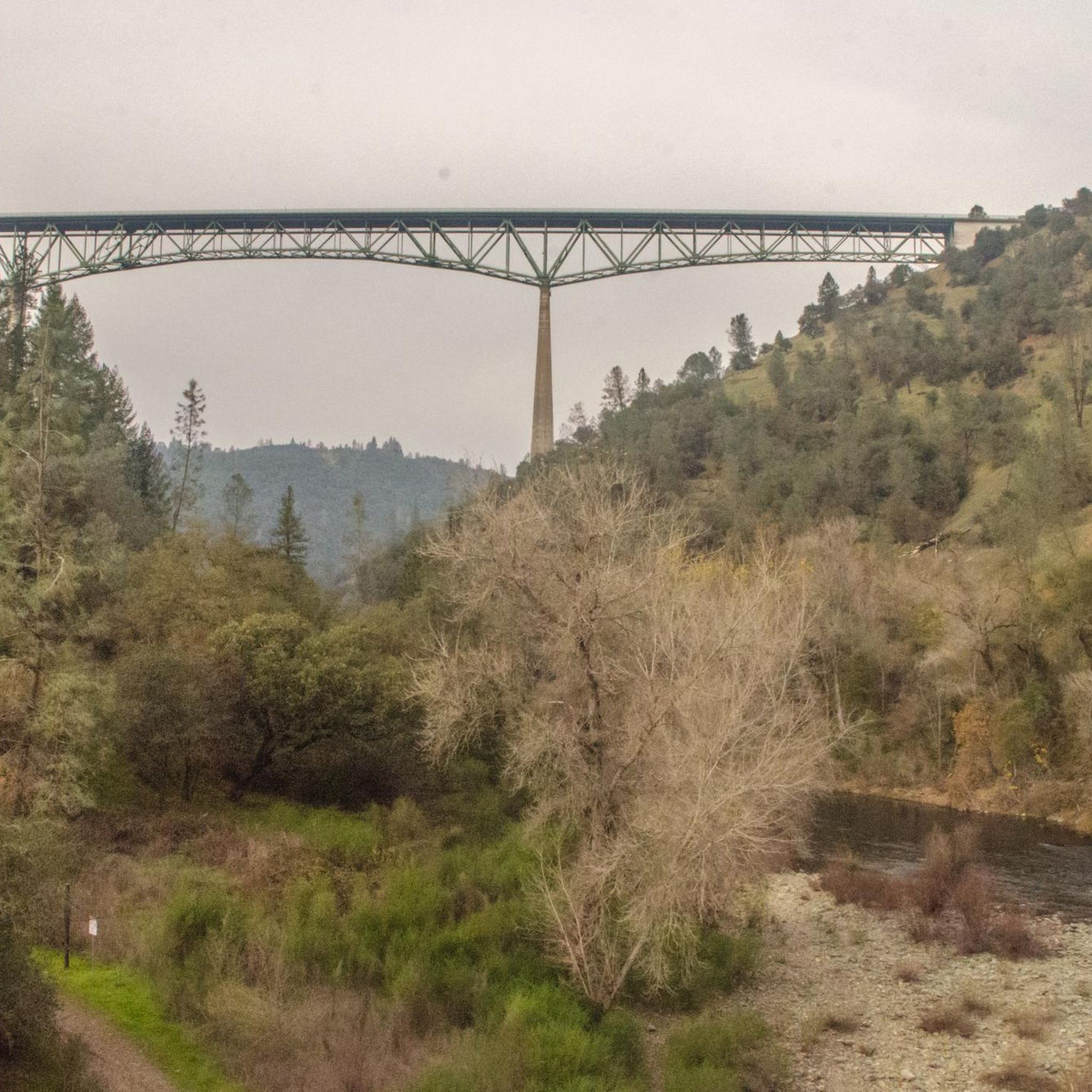
The North Auburn area is rich with natural and man-made landmarks. You can see the impressive North Fork Dam, which forms Lake Clementine, and the towering Foresthill Bridge. The Clementine Trail itself is a highlight, offering beautiful river views.
Are there any circular hiking routes in North Auburn?
Yes, North Auburn features several excellent loop trails. A popular choice is the Clementine & Confluence Trail loop, which is about 10.1 km and offers views of Lake Clementine and both the North and Middle Forks of the American River. Another option is the Western States & Stagecoach Trail loop.
What do other hikers say about the trails in North Auburn?
The trails in North Auburn are highly regarded by the komoot community, holding an average rating of 4.8 stars from over 20 reviews. Hikers frequently praise the diverse terrain, stunning canyon views, and the well-maintained paths along the American River.
Is there public transport or parking available near the trailheads?
While specific public transport options to all trailheads may be limited, the Auburn State Recreation Area, particularly at the 'Confluence' where the North and Middle Forks meet, serves as a major trailhead with parking facilities. It's advisable to check local transport schedules or plan for car access.
What is the best time of year to go hiking in North Auburn?
North Auburn offers hiking opportunities year-round, but spring and fall are particularly pleasant due to milder temperatures and vibrant natural scenery. Spring brings wildflowers and impressive waterfalls from dam runoff, while fall offers comfortable hiking weather. Summer can be hot, making early morning or late afternoon hikes preferable, and winter can be cool but often still suitable for hiking.
Where can I find more information about the Auburn State Recreation Area?
For official information regarding the Auburn State Recreation Area, including regulations, facilities, and any alerts, you can visit the California State Parks website: parks.ca.gov.
Most popular attractions around North Auburn

Get inspired with the komoot mobile app


Explore more
Browse the best Hikes in other regions.
