The best cycling routes around Agua Dulce
4.8
(4)
61
riders
5
rides
Touring cycling around Agua Dulce features routes through the Sierra Pelona Mountains, characterized by rolling hills and a serene, almost desert-like environment. The region includes river valleys, such as the Santa Clara River, offering varied terrain for cyclists. This landscape provides a mix of ascents and flatter sections suitable for touring bicycle routes.
Best touring cycling routes around Agua Dulce
- The most popular touring cycling route is Santa Clara River – Santa Clara River loop from Vista Canyon, a…
Last updated: August 23, 2026
18
riders
42.2km
02:43
460m
460m
Hard bike ride. Very good fitness required. Mostly paved surfaces. Suitable for all skill levels.
5.0
(1)
28
riders
32.3km
01:55
150m
150m
Moderate bike ride. Good fitness required. Mostly paved surfaces. Suitable for all skill levels.

Sign up for free
4.7
(3)
10
riders
38.0km
02:21
280m
280m
Moderate bike ride. Good fitness required. Mostly paved surfaces. Suitable for all skill levels.
2
riders
42.4km
02:43
550m
550m
Hard bike ride. Very good fitness required. Mostly paved surfaces. Suitable for all skill levels.
3
riders
26.2km
01:41
280m
280m
Moderate bike ride. Good fitness required. Mostly paved surfaces. Suitable for all skill levels.
Our route recommendations are based on thousands of hikes, rides, and runs completed by other people on komoot.
Start today with a free account
Your next adventure awaits.
Login or Signup

Other adventures around Agua Dulce

Tips from the Community

At about 84 miles long, the Santa Clara River is the largest natural river system in southern California remaining in a relatively undeveloped state. Along its length there is the 8 mile long Santa Clara River Trail, which is a paved bicycle and walking path in the city of Santa Clarita.
0
0

Here, under the powerlines, South Fork River Trail and an extension of Newhall Avenue cross.
0
0

I usually turn around here.
0
0

From this spot just off of the San Francisquito Creek Trail in Santa Clarita, CA, you get fantastic open views down the valley across the grasslands and of the powerlines. This is a nice place to stop and sip some water or snap a photo before continuing on your ride.
0
0

Golden Valley Bike Path is a great 5 mile popular paved path trail on the outskirts of Santa Clarita. It provides a great class I bike path. This means it is traffic free and has a lane for each direction of travel.
0
0

Great riverside trail that runs through Santa Clarita along the Santa Clara River. The path is traffic free, so it's a great place for a family walk.
0
0
The Iron Horse Bridge is an old railway bridge that has now been turning into a pedestrian bridge. It is part of the South Fork River Trail and takes users over the Santa Clara River.
1
0
Frequently Asked Questions
How many touring cycling routes are available in Agua Dulce?
There are 4 touring cycling routes around Agua Dulce, offering a variety of experiences for different skill levels. These routes traverse river valleys, rolling hills, and a serene, desert-like environment.
What kind of terrain can I expect on touring cycling routes in Agua Dulce?
Touring cycling routes in Agua Dulce feature a mix of terrain, from gentle river valley paths along the Santa Clara River to more challenging ascents through rolling hills in the Sierra Pelona Mountains. The landscape often presents a serene, almost desert-like environment with picturesque mountain views.
Are there any easy touring cycling routes suitable for beginners or a relaxed ride?
Yes, for an easier ride, consider the Santa Clara River – Santa Clara River loop from Vista Canyon. This 17.9-mile (28.8 km) route follows the Santa Clara River, offering a gentle and scenic experience.
Which touring cycling routes offer a more challenging experience?
For a more challenging ride, the Santa Clara River – Santa Clara River loop from Newhall is a difficult 44.1-mile (71.0 km) path with significant elevation changes. Another demanding option is the Agua Dulce & Hiker Heaven loop from Vista Canyon, which covers 27.0 miles (43.5 km) through rolling hills.
What natural landmarks or attractions can I see along the touring cycling routes?
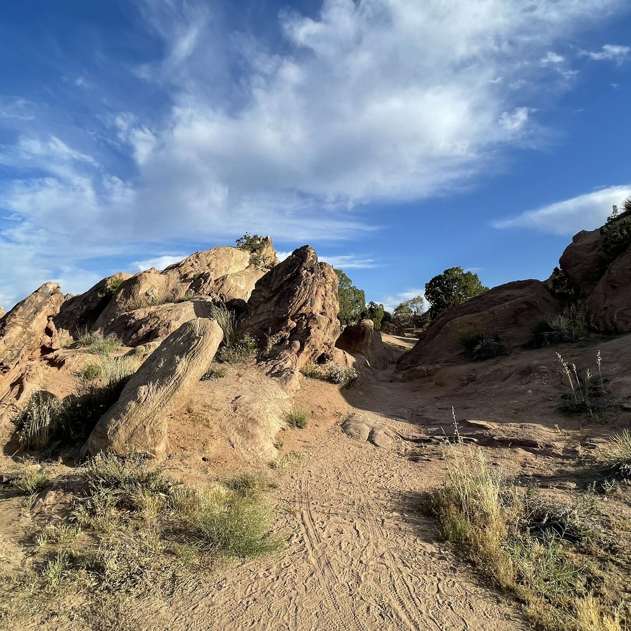
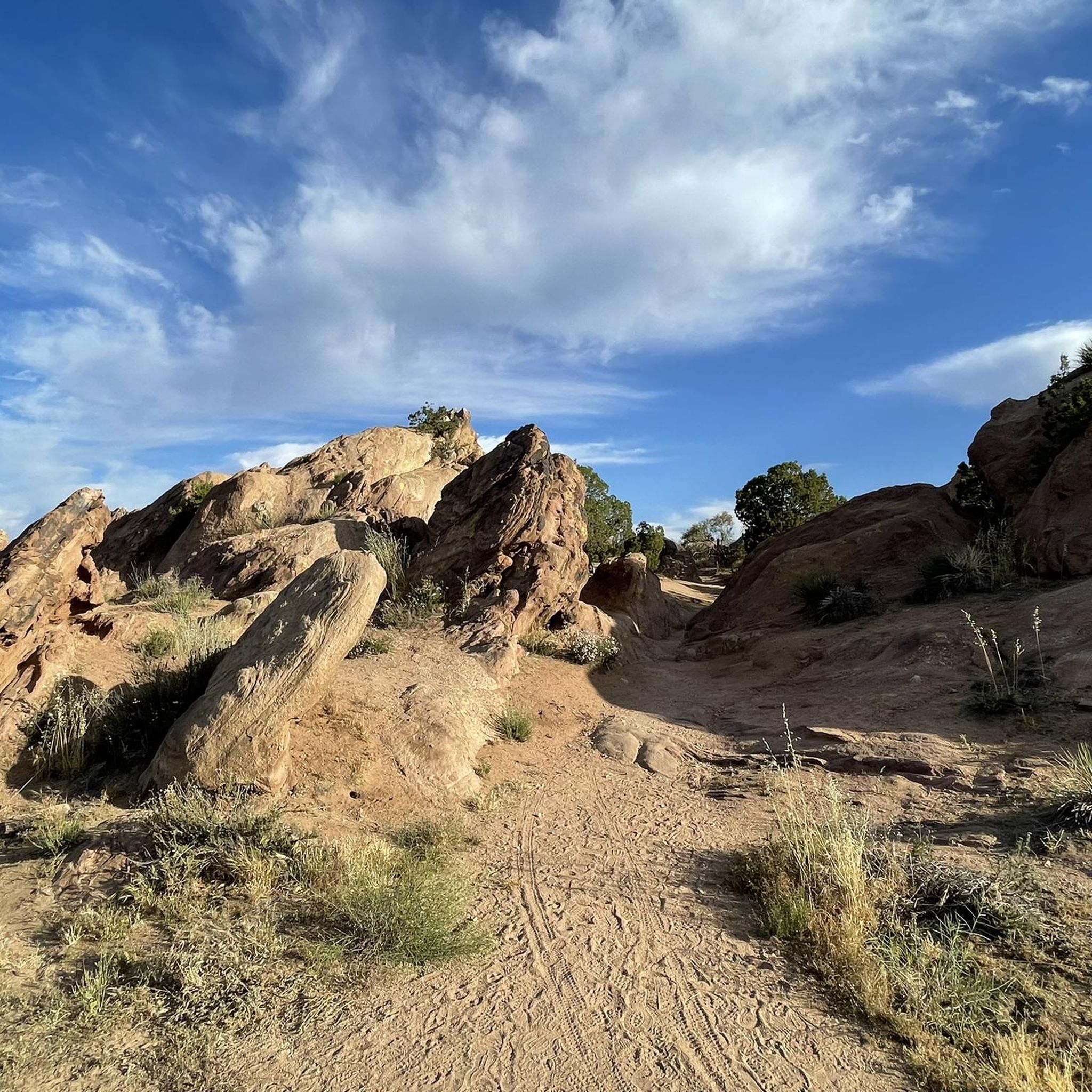
While cycling, you'll be near the iconic Vasquez Rocks Natural Area Park, known for its dramatic, tilted rock formations. The area also includes the Agua Dulce & Hiker Heaven settlement and sections of the Pacific Crest Trail, such as the PCT Trailhead at Bouquet Canyon Rd.
Are there any loop routes for touring cyclists in Agua Dulce?
Yes, several routes are loops, providing a convenient start and end point. Examples include the easy Santa Clara River – Santa Clara River loop from Vista Canyon, the challenging Santa Clara River – Santa Clara River loop from Newhall, and the Agua Dulce & Hiker Heaven loop from Vista Canyon.
What do other touring cyclists say about the routes in Agua Dulce?
The touring cycling routes in Agua Dulce are highly rated by the komoot community, with an average score of 5.0 stars. Cyclists often appreciate the varied terrain, from serene river paths to challenging climbs, and the unique desert-like environment with mountain views.
Is Agua Dulce a good destination for family-friendly cycling?
While specific family-friendly routes are not explicitly detailed, the easy Santa Clara River – Santa Clara River loop from Vista Canyon, with its gentle terrain along the river, could be suitable for families looking for a less strenuous ride.
Are there any specific considerations for parking or public transport when planning a touring cycling trip in Agua Dulce?
Information on specific parking facilities or public transport access points for each route is not detailed in the guide. However, routes like the Golden Valley bike lane loop from BLM Open Space suggest starting points near open spaces, implying potential parking availability. It's advisable to check local resources for parking options at your chosen starting point.
What is the best time of year to go touring cycling in Agua Dulce?
Agua Dulce experiences a serene, almost desert-like environment. Spring and fall generally offer milder temperatures, making them ideal for cycling. Summers can be hot, while winters are typically mild. Always check local weather forecasts before heading out.
Are there any routes that incorporate bike lanes or dedicated cycling infrastructure?
Yes, the Golden Valley bike lane loop from BLM Open Space specifically mentions utilizing a bike lane, which can offer a more comfortable and safer cycling experience away from general traffic.
Can I explore the Vasquez Rocks Natural Area Park by bike?
While Vasquez Rocks Natural Area Park is a significant natural feature in the area, bicycles are generally restricted on some trails within the park. The park is primarily known for hiking and horseback riding. You can cycle near the park and enjoy its dramatic views, but check park regulations for specific trail access for bikes. More information can be found on the Los Angeles County Parks website: Vasquez Rocks Natural Area and Nature Center.
Most popular routes around Agua Dulce
Most popular attractions around Agua Dulce

Get inspired with the komoot mobile app


Explore more
Browse the best Cycling routes in other regions.
