The best running trails around Breites Wasser
4.3
(108)
1,741
runners
249
runs
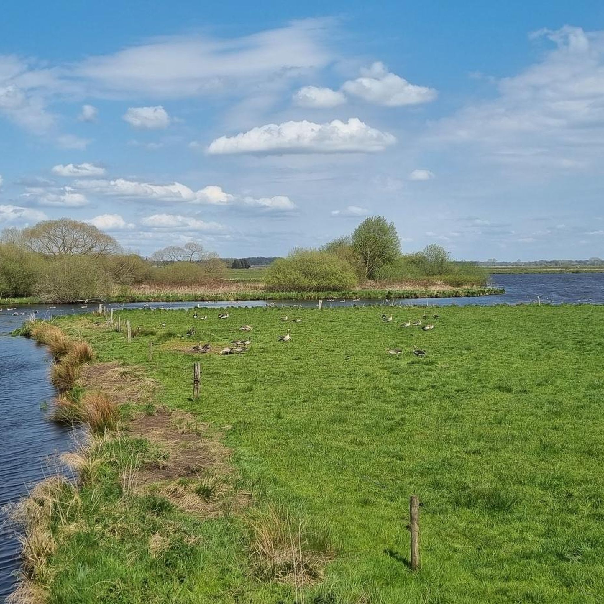
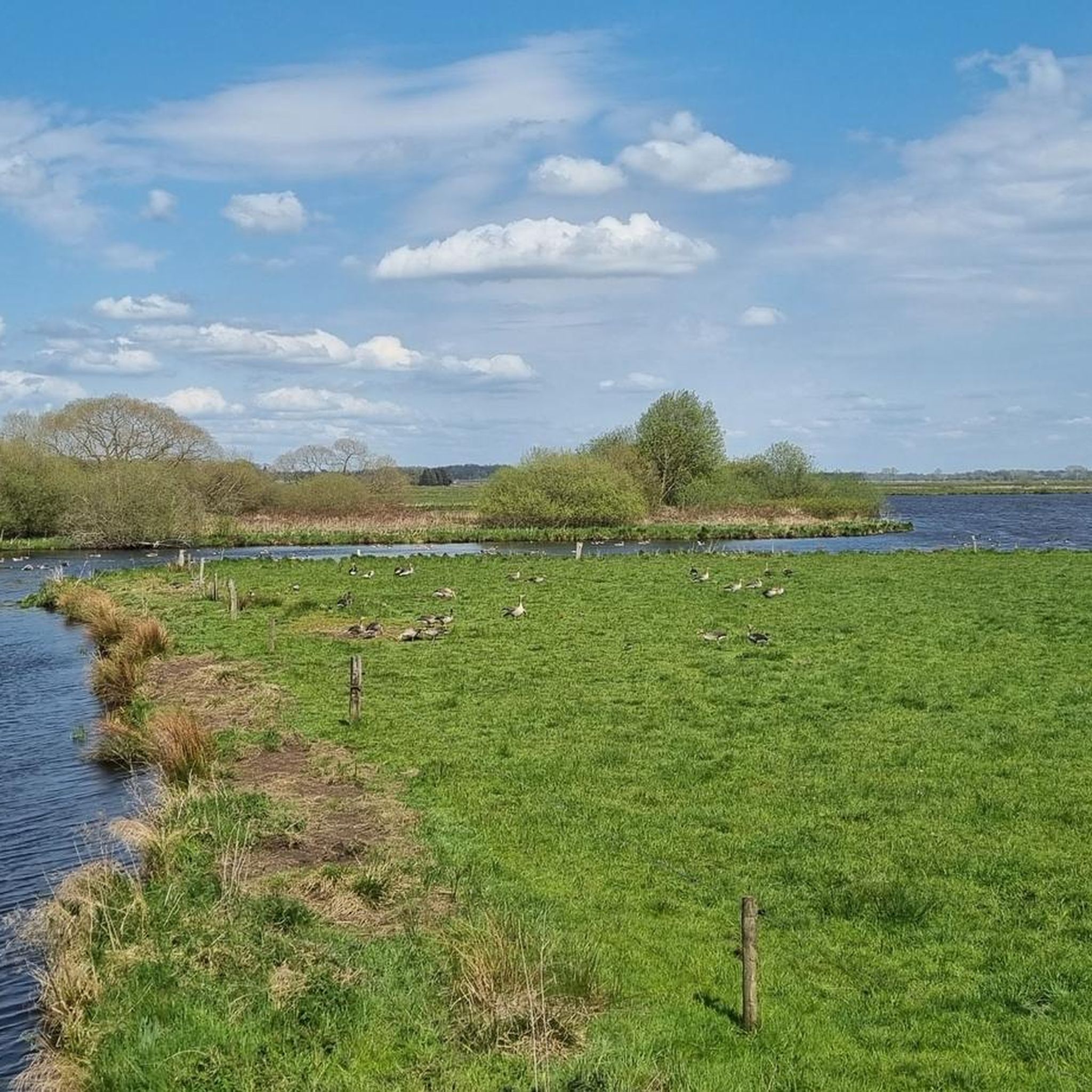
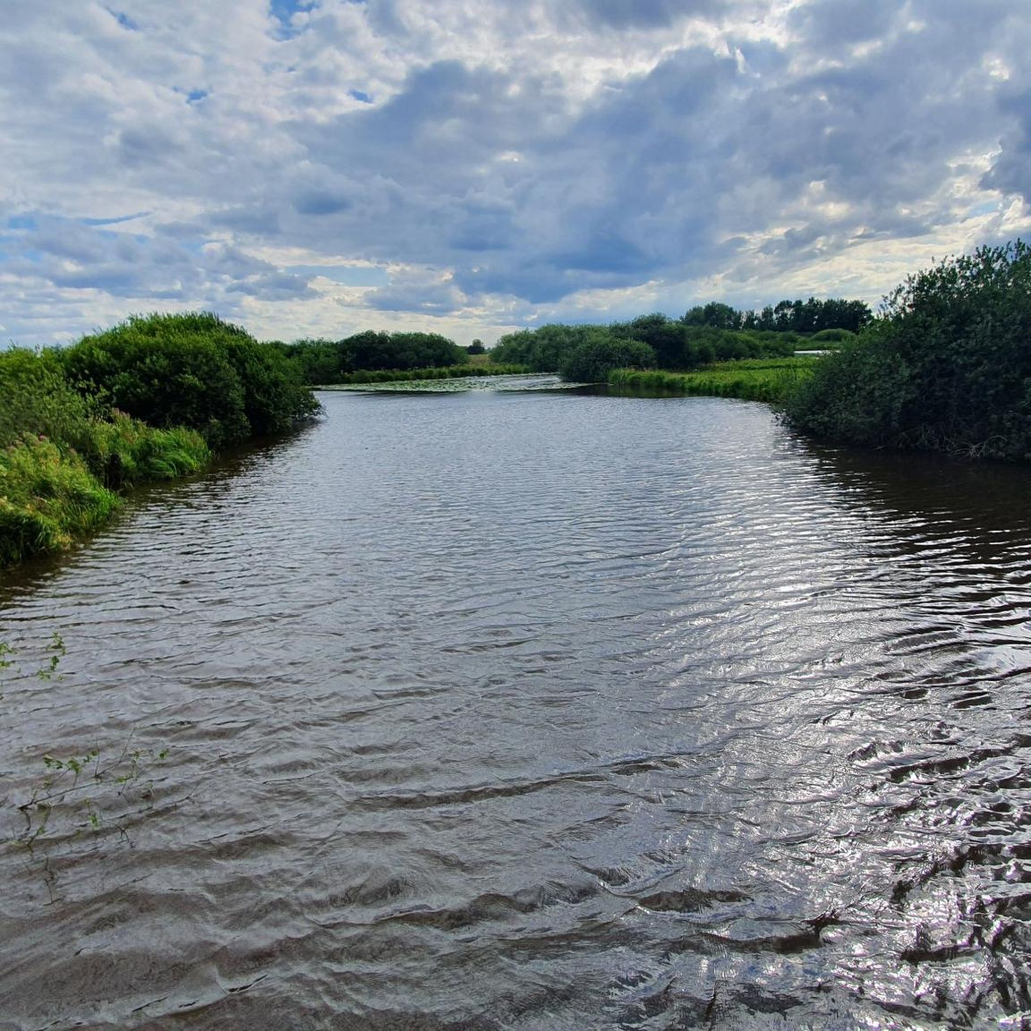
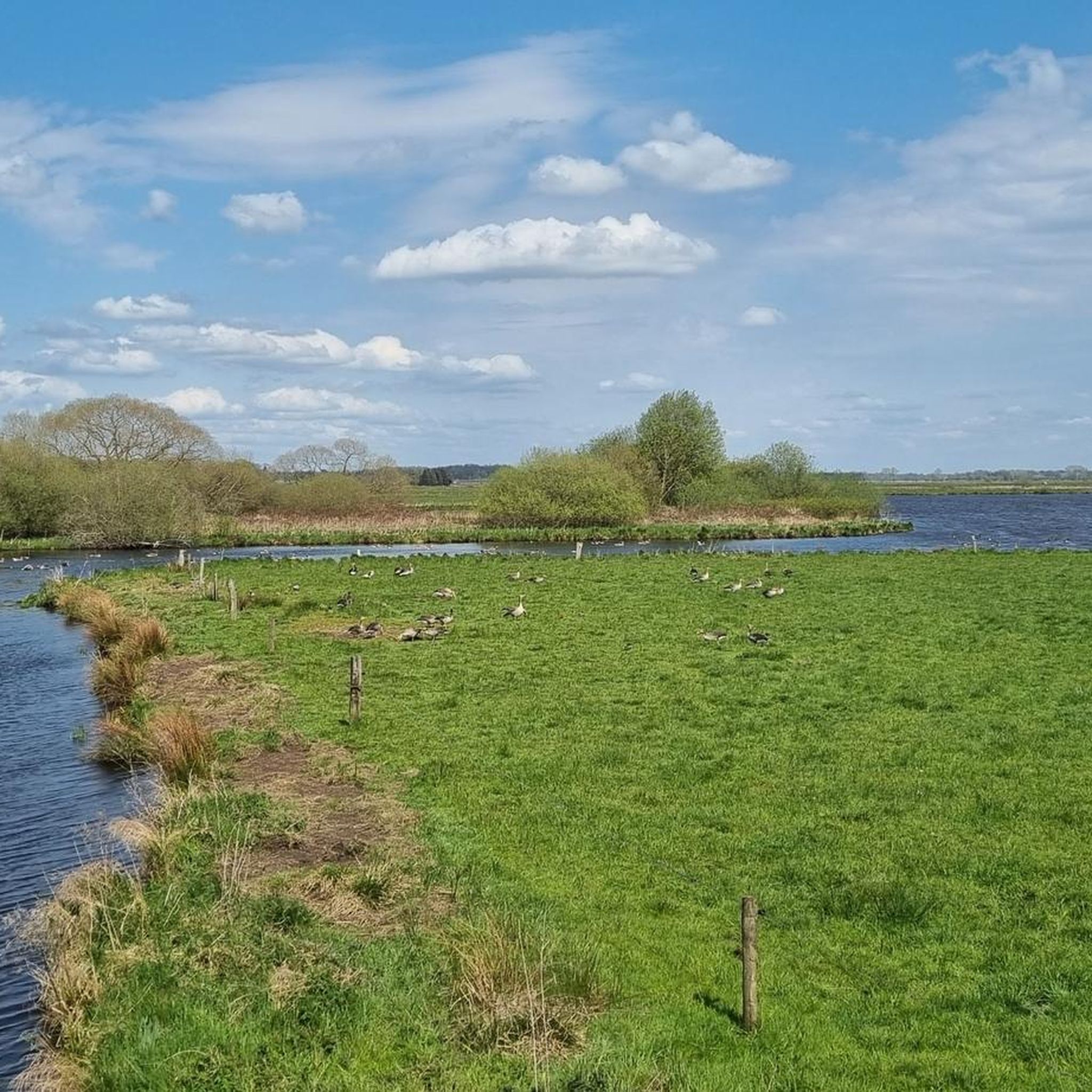
Jogging routes around Breites Wasser traverse a unique wetland triangle formed by the Beek and Hamme rivers, characterized by expansive moorland landscapes. The terrain is predominantly flat, offering sustained physical activity without significant elevation changes. This nature reserve provides a tranquil setting with diverse paths, often consisting of gravel and asphalt, suitable for running. The area is known for its rich birdlife and serene water surfaces, making it a visually engaging environment for runners.
Best jogging routes around Breites Wasser
…Last updated: July 1, 2026
15
runners
13.5km
01:26
10m
10m
Moderate run. Good fitness required. Mostly paved surfaces. Suitable for all skill levels.
15
runners
Moderate run. Good fitness required. Mostly paved surfaces. Suitable for all skill levels.

Sign up for free
16
runners
9.39km
00:58
10m
10m
Moderate run. Good fitness required. Mostly paved surfaces. Suitable for all skill levels.
6
runners
9.00km
00:59
10m
10m
Moderate run. Good fitness required. Mostly paved surfaces. Suitable for all skill levels.
6
runners
Moderate run. Good fitness required. Mostly paved surfaces. Suitable for all skill levels.
Get access to more routes and recommendations from other explorers.
Sign up for free
Already have an account?
Our route recommendations are based on thousands of hikes, rides, and runs completed by other people on komoot.
Start today with a free account
Your next adventure awaits.
Login or Signup

Tips from the Community


The campsite, often known as Neu-Helgoland or Campingplatz am Hammehafen, is located directly on the Hamme near Worpswede. Here is the most important information: Location: The site is located on the outskirts of Worpswede, directly on the Hammehafen. Facilities: There are pitches for motorhomes, caravans, and tents. Sanitary facilities are available. Activities: Canoes and kayaks can be rented at the Hammehafen (prices from €15 to €35, as of 2018/2026). There is also a bistro with a beer garden and an adjacent bathing beach on the Hamme. Season: The season typically runs from April to early October. Contact: The site can be found via the website hammehafen.de, telephone: +49 (0) 4792 509.
1
0

Take some time to visit the Vogeler train station. Enjoy the almost museum-like restaurant and travel back almost a hundred years in your thoughts. The station stood alone in the still undeveloped landscape. Steam locomotives ran at that time, many people traveled by train, and even more freight traffic had to be managed. The siding in front of the loading area testifies to this to this day. (SOURCE:https://www.worpswede-tipps.de/bahnhof_worpswede/ )
1
0

Is that restaurant still there? That's a godsend after a long walk.
0
0

Gastronomy and good views of the Hamme, nearby is also a small beach for swimming in the Hamme
3
0

The food is highly recommended.
2
0

It's always beautiful here, whatever the season.
3
0

Beautiful stone for the important art patron Roselius.
0
0
Frequently Asked Questions
How many running routes are available around Breites Wasser?
There are over 250 running routes around Breites Wasser, offering a wide range of options for different fitness levels and preferences. The komoot community has explored more than 1700 of these routes.
What types of terrain can I expect on the jogging trails in Breites Wasser?
The jogging trails around Breites Wasser feature a mix of surfaces, primarily gravel (Schotterweg) and asphalt. The flat topography of the Teufelsmoor region ensures a consistent running experience without significant elevation changes, making it ideal for sustained physical activity.
Are there any circular running routes in the Breites Wasser area?
Yes, many routes in Breites Wasser are circular, allowing you to start and end at the same point. For example, the Kirchdammgraben Path loop from Westlich Beek is a popular 8.4-mile (13.5 km) option that showcases the natural beauty of the Hammeniederung.
What are the best routes for observing nature and birdlife while running?
Breites Wasser is known for its rich birdlife, especially during migration seasons. The Broad Water – Neu Helgoland Hamme Hut loop from Westlich Beek is a moderate 5.1-mile (8.2 km) path that winds through tranquil wetland scenery, providing excellent opportunities to observe local bird species in their natural habitat.
Are the jogging routes around Breites Wasser suitable for families?
The predominantly flat terrain and diverse paths make many routes around Breites Wasser suitable for families. While specific 'family-friendly' designations aren't always given, the lack of significant elevation changes means that even younger or less experienced runners can enjoy the trails. Consider shorter, well-maintained paths for a family outing.
Where can I find parking near the running trails in Breites Wasser?
While specific parking locations aren't detailed in the route descriptions, areas like Westlich Beek and Torfkahnhafen, which serve as starting points for several popular routes, typically offer parking facilities. It's advisable to check local signage upon arrival.
What can I see or explore along the running routes in Breites Wasser?
The area offers several points of interest. You can enjoy views of the Broad Water itself, the expansive Hammeniederung, and dedicated spots for Birdwatching at Breites Wasser. There's also an observation tower offering panoramic views over the moorland, providing a rewarding vista during or after your run.
What do other runners enjoy most about jogging in Breites Wasser?
The komoot community highly rates the running experience in Breites Wasser, with an average score of 4.3 stars from over 100 reviews. Runners often praise the tranquil natural setting, the diverse paths, and the opportunity to immerse themselves in the unique wetland and moorland landscapes.
Are there any less crowded running routes for a more peaceful experience?
While popular routes like the Neu Helgoland Hamme Hut – Broad Water loop from Torfkahnhafen are well-loved, the extensive network of paths in the Teufelsmoor region means you can often find quieter sections. Exploring routes slightly off the main circular paths can offer a more secluded running experience amidst the serene water surfaces and river lowlands.
What is the best season for jogging around Breites Wasser?
Breites Wasser offers a compelling destination for jogging throughout the year. Spring and autumn are particularly beautiful, with migratory birds passing through and vibrant seasonal colors. The flat terrain makes it accessible even in winter, though trail conditions might vary with weather.
Are dogs allowed on the running trails in Breites Wasser?
Breites Wasser is a nature reserve, and while many paths are suitable for dogs, it's crucial to keep them on a leash to protect the rich birdlife and other wildlife. Always respect local regulations and signage regarding pets in protected areas.
How difficult are the running routes in Breites Wasser?
The routes in Breites Wasser cater to various ability levels. Out of over 250 tours, 15 are classified as easy, 209 as moderate, and 31 as difficult. The overall flat topography means that 'difficult' typically refers to longer distances rather than significant elevation changes, such as the Niedersachsenstein (Lower Saxony Stone) – Worpswede Windmill loop from Weyermoor, which is a longer, challenging run.
Can I reach the jogging routes around Breites Wasser by public transport?
While the region offers a sense of escape, public transport options to the immediate vicinity of Breites Wasser may be limited. It's recommended to check local bus schedules for connections to nearby towns like Osterholz-Scharmbeck, from where you might need to plan a short walk or taxi ride to reach specific trailheads.
Most popular routes around Breites Wasser
Most popular attractions around Breites Wasser

Get inspired with the komoot mobile app


Explore more
Browse the best Running Trails & Routes in other regions.
