The best cycling routes around Sacramento
4.4
(204)
927
riders
72
rides
Touring cycling around Sacramento benefits from an extensive network of trails and a diverse landscape. The region is characterized by the confluence of the American and Sacramento Rivers, offering abundant riverfront views and largely flat terrain. Beyond the river parkways, the area expands into oak woodlands, grasslands, and a network of levee trails, providing varied cycling environments. This combination supports year-round cycling with routes suitable for various skill levels.
Best touring cycling routes around Sacramento
- The most popular touring cycling…
Last updated: October 11, 2026
4.9
(10)
156
riders
57.2km
03:14
130m
130m
Pedal along the American River Bike Trail, also known as the Jedediah Smith Memorial Trail, for a delightful touring cycling experience through Sacramento's green corridor. This moderate route spans 35.5…
5.0
(4)
103
riders
92.0km
05:18
250m
250m
The American River Bike Trail, also known as the Jedediah Smith Memorial Trail, offers an expansive touring cycling adventure along the American River. You'll pedal through a delightful mix of…

4.3
(3)
34
riders
32.0km
01:59
40m
40m
The American River Bike Trail Loop offers a delightful and easy touring cycling experience, tracing the scenic American River. You'll glide along a smooth, paved path, transitioning from urban parks…
4.5
(6)
15
riders
41.6km
02:23
70m
70m
Cycle the Sacramento River Bike Trail Loop, a moderate 25.8-mile route with 217 feet of elevation gain, offering scenic river views.
4.0
(1)
7
riders
45.6km
02:36
60m
60m
The American River and Folsom South Canal Trail Loop offers a moderate 28.3-mile (45.6 km) touring cycling experience, combining two distinct environments. You'll begin on the popular American River Bike…
Get access to more routes and recommendations from other explorers.
Already have an account?
Our route recommendations are based on thousands of hikes, rides, and runs completed by other people on komoot.
Start today with a free account
Your next adventure awaits.
Tips from the Community

The Folsom Historic Truss Bridge, famous for its unique design, offers lovely views of the river and lake. It's only for pedestrians, making it a great spot for a scenic ride over the water.
0
0

This is a very aesthetic bridge with great views over the river and Lake Natoma. It's pedestrian-only, so perfect for running.
1
0
This is a multi-use crushed concrete path that runs between Jefferson Boulevard and Gregory Avenue, where South River Road loops around and returns. The trail is traffic-free and affords wonderful views down the Sacramento River.
0
0
This is an historic metal truss swing bridge that spans the American River. Cycling over it will provide fantastic views down the waterway.
1
0
Lake Natoma is a freshwater reservoir created by the Nimbus Dam. This is a particularly good spot to stop and catch a good photo opportunity with the clear waters of the lake behind you.
0
0
Nimbus Dam is a hydroelectric dam located along the American River in Sacramento. It's 87 feet tall and spans 1,093 feet wide and creates Lake Natoma reservoir.
1
0
Lovely place to sit and cool off with great views over the American River. Unpack your lunch and enjoy a seat on one of the picnic benches or under a shady tree.
0
0

Folsom's Historic District has plenty to offer. There are farmers markets, an ice rink, bike trails, history museums, and more. Nestled right up along Lake Natoma, you could easily spend a few afternoons in this town alone.
0
1
Frequently Asked Questions
How many touring cycling routes are available in Sacramento?
Sacramento offers a wide selection of touring cycling routes, with over 60 options available on komoot. These routes cater to various preferences, from easy riverside paths to more challenging rides.
Are there touring cycling routes suitable for beginners or families in Sacramento?
Yes, Sacramento is very beginner and family-friendly. A significant portion of the routes, around 44, are rated as easy. The American River Bike Trail Loop is a great example, offering a largely flat, paved path along the river, suitable for all skill levels and providing amenities like water fountains and restrooms.
What kind of terrain can I expect on Sacramento's touring cycling routes?
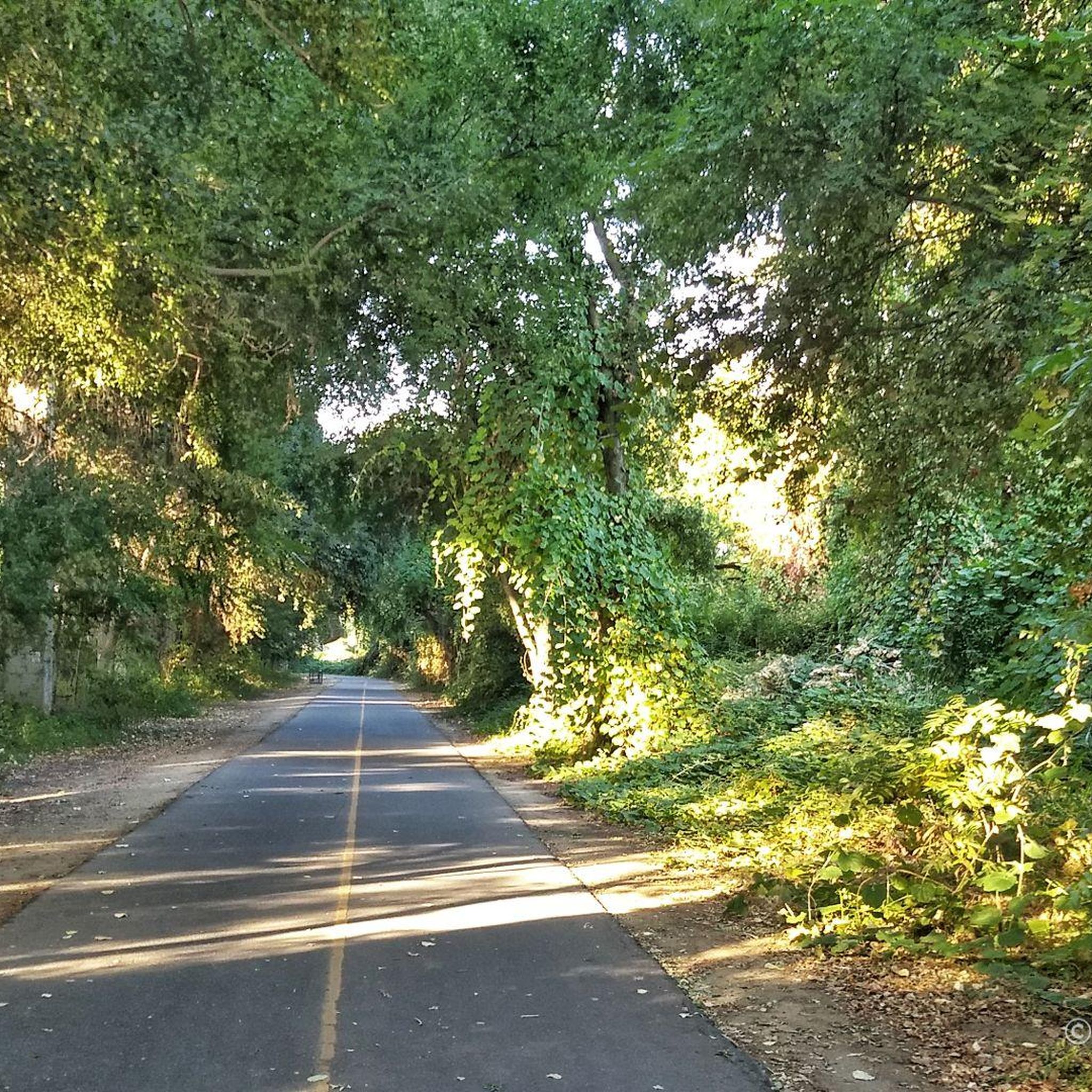
Sacramento's touring cycling routes offer diverse terrain. You'll find extensive river parkways along the American and Sacramento Rivers, featuring largely flat, paved paths. Beyond these, the landscape expands into rolling oak woodlands, grasslands, and a network of levee trails, particularly towards the Sierra Nevada foothills, providing more varied and sometimes unpaved sections.
What is the best time of year for touring cycling in Sacramento?
Sacramento's relatively dry winters and pleasant climate make it a year-round cycling destination. Spring and fall offer ideal temperatures, but even winter cycling is popular due to mild conditions. Summer can be hot, so early morning or late afternoon rides are often preferred during those months.
Are there any circular touring cycling routes in Sacramento?
Yes, many routes in Sacramento are designed as loops, perfect for touring cyclists. The Sacramento River Bike Trail Loop is a popular moderate option, providing scenic riverfront views. Another excellent choice is the American River and Folsom South Canal Trail Loop, which combines river parkways with canal paths.
What interesting landmarks or attractions can I see while cycling in Sacramento?
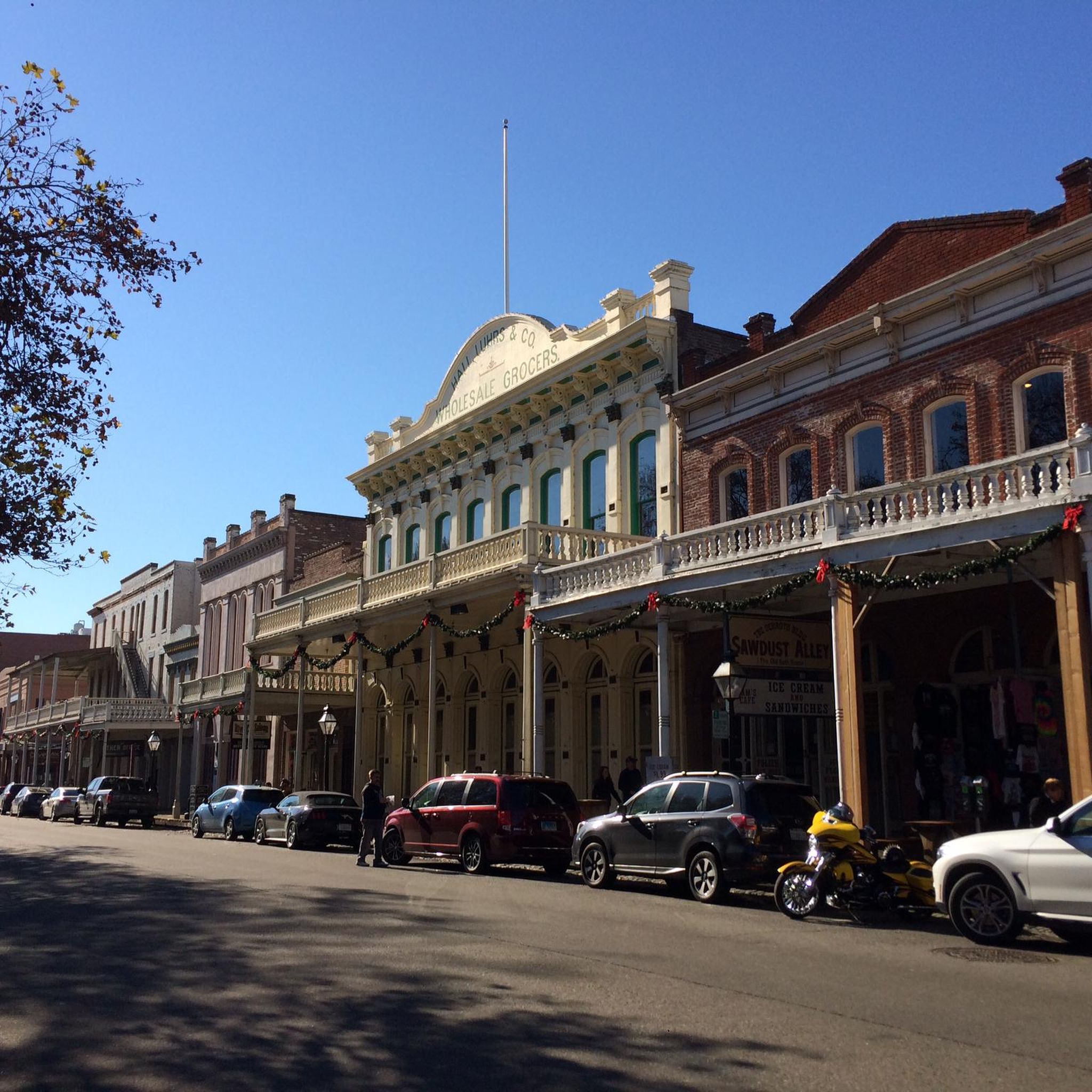
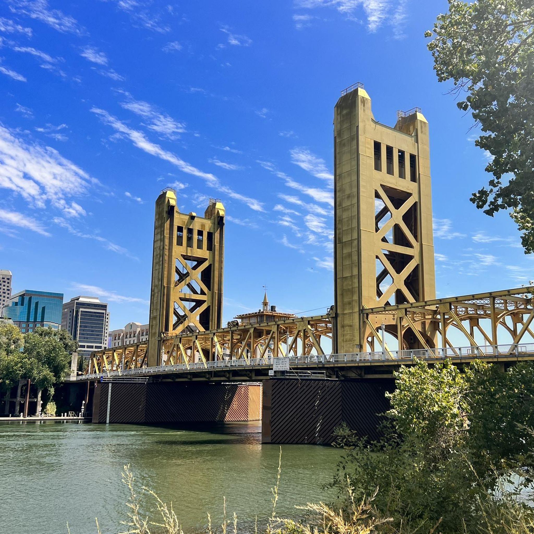
While cycling in Sacramento, you can encounter several notable landmarks and attractions. The iconic Tower Bridge is a common starting point for routes. Along the American River Parkway, you'll cross the distinctive Guy West Bridge. Other points of interest include Discovery Park and various historic sites in Old Sacramento.
Are there opportunities for wildlife spotting along the touring cycling routes?
Absolutely. The river parkways, especially the American River Parkway, are known for wildlife viewing. You might spot various bird species, deer, and other small animals. Areas like the Stone Lakes National Wildlife Refuge and Yolo Bypass Wildlife Area, accessible from some routes, offer dedicated opportunities for observing local fauna.
Are there touring cycling routes accessible by public transport or with good parking options?
Many of Sacramento's popular cycling routes, particularly those along the American River Parkway, have numerous trailheads with ample parking. Public transport access varies, but key areas like Old Sacramento, a common starting point, are well-served by local transit, making it convenient to begin your ride.
Can I find cafes or places to stop for refreshments along the cycling routes?
Yes, Sacramento's extensive trail network often passes through or near urban areas and parks where you can find cafes, restaurants, and convenience stores. The American River Parkway, for instance, has regular amenities including water fountains and restrooms, and is never far from places to grab a bite or a drink.
What do other touring cyclists enjoy most about cycling in Sacramento?
The touring cycling experience in Sacramento is highly rated by the komoot community, with an average score of 4.5 stars from over 90 reviews. Cyclists frequently praise the extensive, well-maintained network of trails, the scenic riverfront views, and the diverse landscapes that range from urban parks to oak woodlands, making it enjoyable for all skill levels.
Are there any unique natural features or landscapes to explore by bike in Sacramento?
Beyond the prominent river parkways, Sacramento offers unique landscapes like rolling oak woodlands and grasslands, especially as you venture towards the Sierra Nevada foothills. The region also features a network of levee trails in West Sacramento, providing distinct opportunities for gravel cycling and exploring agricultural areas.
Are there dog-friendly touring cycling routes in Sacramento?
Many of Sacramento's outdoor trails and parks are dog-friendly, provided dogs are kept on a leash. The paved river parkways are generally suitable for cycling with a leashed dog, but it's always recommended to check specific park or trail regulations beforehand to ensure a pleasant experience for everyone.
Most popular routes around Sacramento
Most popular attractions around Sacramento

Get inspired with the komoot mobile app


Explore more
Browse the best Cycling routes in other regions.
