The best walks and hikes around Sösetalsperre
4.6
(22555)
78,052
hikers
976
hikes
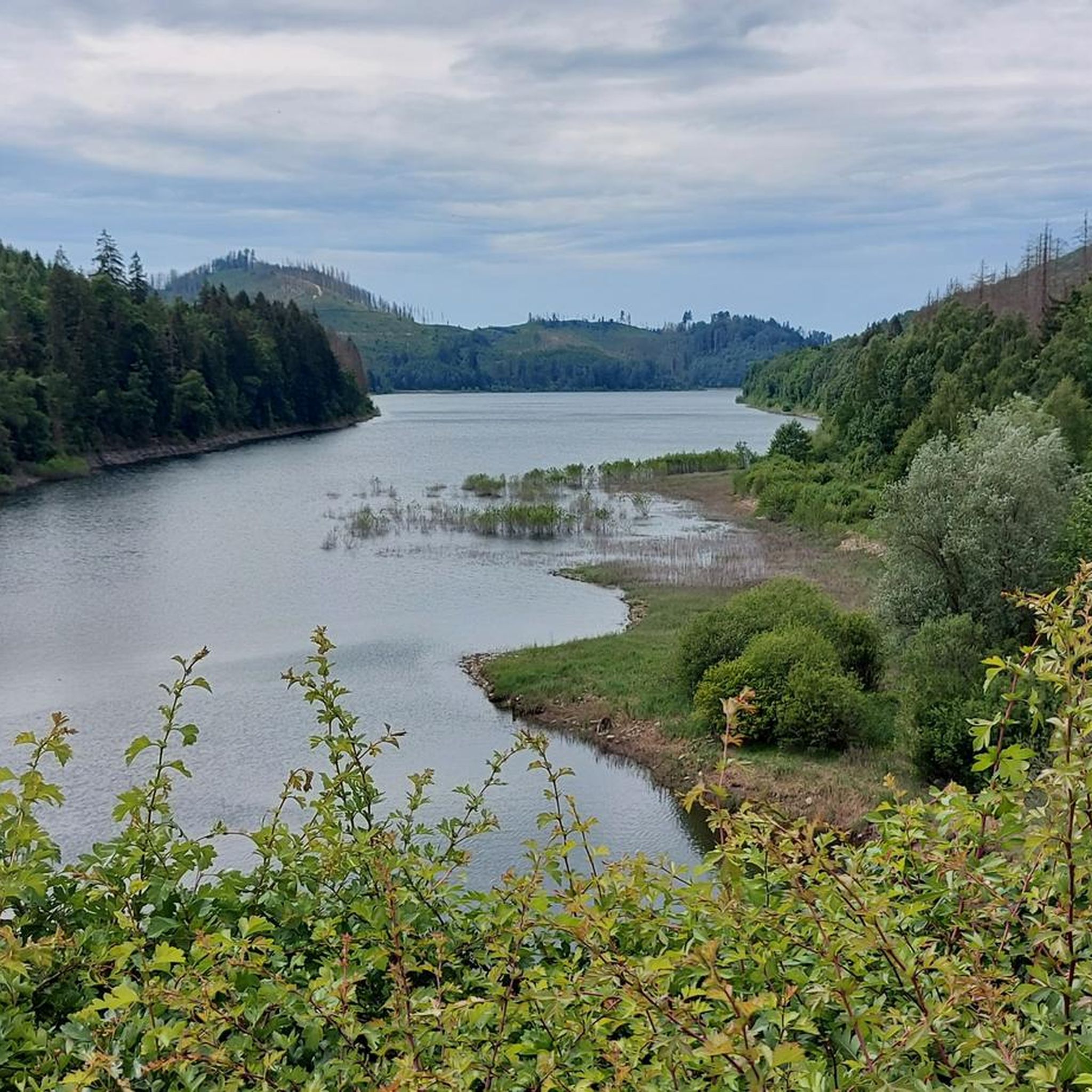
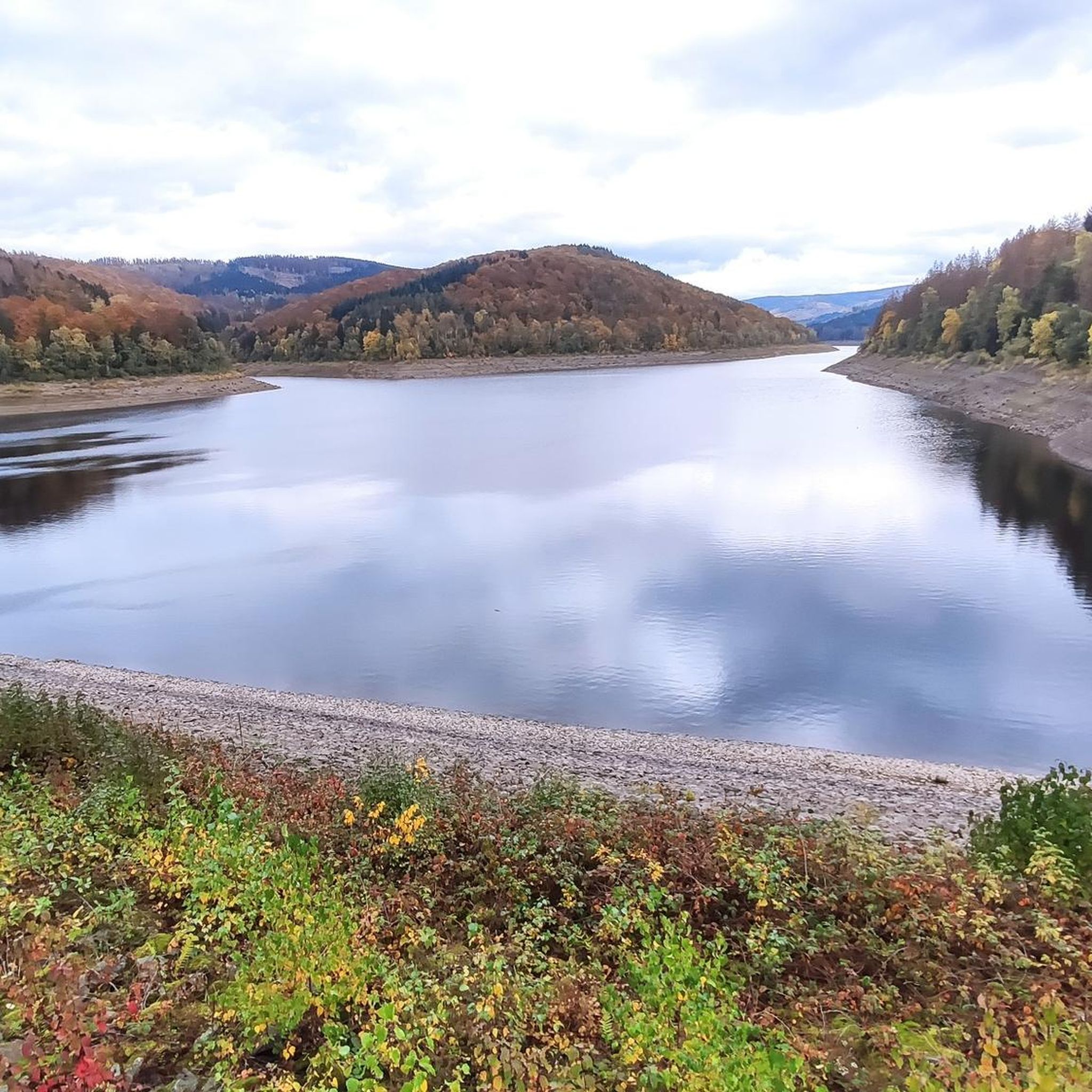
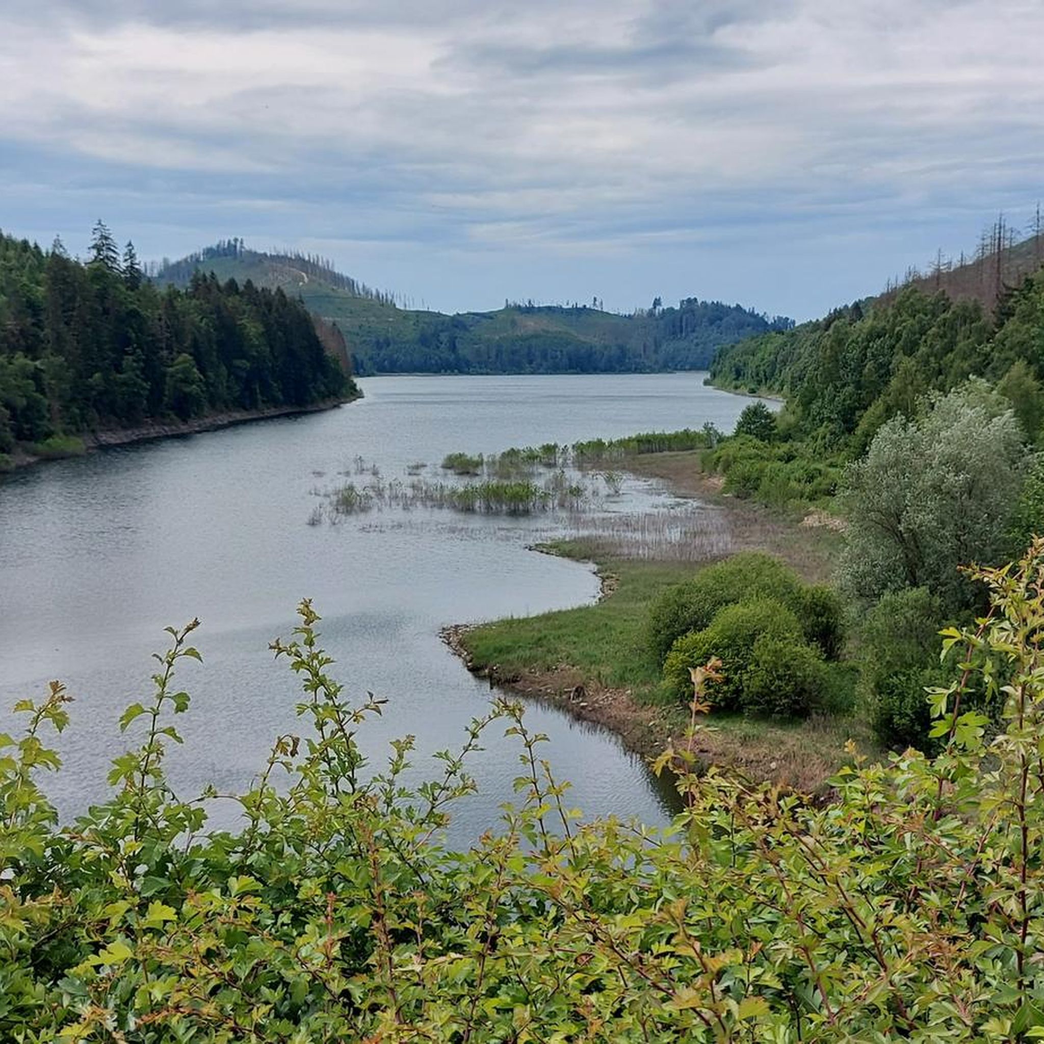
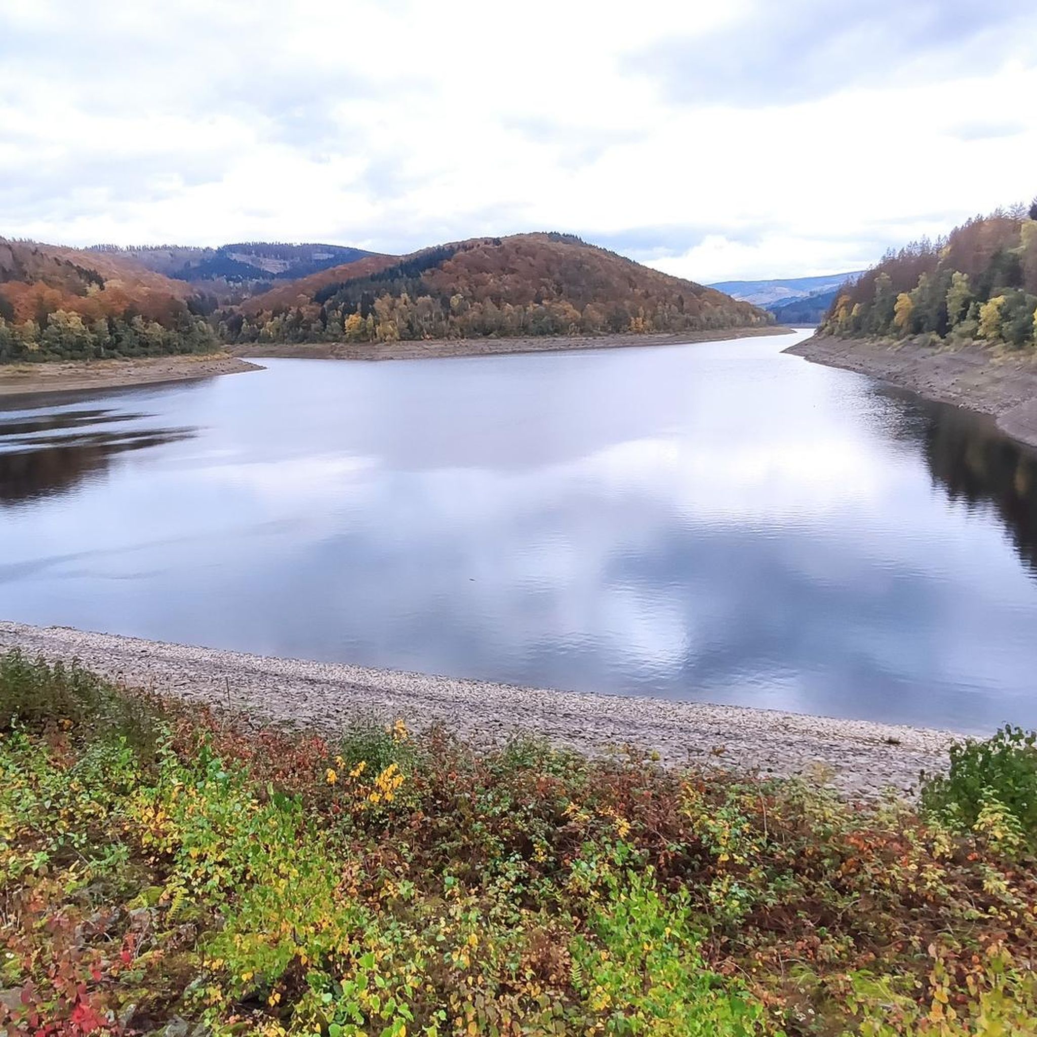
Hiking around Sösetalsperre offers a diverse landscape within the Harz Mountains, characterized by the Söse reservoir and its dam system. The region features extensive mixed forests and rolling hills, providing varied terrain for outdoor activities. Elevated viewpoints offer vistas over the reservoir and into the surrounding valleys. The area's natural features include the clear waters of the reservoir and wooded slopes.
Best hiking trails around Sösetalsperre
- The most popular hiking route is Königseck Viewpoint – Mühlenteich Pond loop from Lerbach…
Last updated: July 4, 2026
4.4
(126)
459
hikers
12.3km
03:55
500m
500m
Moderate hike. Good fitness required. Easily-accessible paths. Suitable for all skill levels.
4.6
(95)
313
hikers
25.9km
07:37
740m
740m
Hard hike. Very good fitness required. Easily-accessible paths. Suitable for all skill levels.

Sign up for free
4.4
(18)
112
hikers
6.51km
01:50
130m
130m
Easy hike. Great for any fitness level. Easily-accessible paths. Suitable for all skill levels.
4.6
(17)
77
hikers
28.6km
08:24
740m
730m
Hard hike. Very good fitness required. Mostly accessible paths. Sure-footedness required.
4.4
(8)
58
hikers
2.92km
00:49
60m
60m
Easy hike. Great for any fitness level. Easily-accessible paths. Suitable for all skill levels.
Get access to more routes and recommendations from other explorers.
Sign up for free
Already have an account?
Our route recommendations are based on thousands of hikes, rides, and runs completed by other people on komoot.
Start today with a free account
Your next adventure awaits.
Login or Signup

Tips from the Community

Once you have mastered the climb to Lehrbach 😝 it's time to take a break.
5
0

Great place to rest
0
0

Narrow, rooty, sometimes stony path - some of the young spruce trees have already grown well again
0
0
These information boards are simply wonderful and there are some
0
0
great that they exist and even clean
0
0

I'm happy about every free parking space and this one even has toilets, outside of the frost season 👍
2
0

Small wooden hut at the foot of the tower.
3
0

Free parking (as of 12.1.25), with a few parking spaces. Toilets available. Right next to the Sösetalsperre and the perfect photo. Also the start of HWN 143 and 144.
3
0
Frequently Asked Questions
How many hiking trails are available around Sösetalsperre?
There are over 980 hiking routes in the Sösetalsperre region, offering a wide range of options for different skill levels and preferences. Over 560 of these are classified as easy, 360 as moderate, and 59 as difficult.
Are there easy hiking options suitable for beginners or families?
Yes, the Sösetalsperre area is very welcoming for beginners and families. Over 560 easy routes are available. A popular choice is the approximately 9.9-kilometer circular path around the main dam and pre-dam, which is generally suitable for walkers and families. For a shorter, easy walk, consider the Sösetalsperre Dam – Sösetal dam loop from Lerbach, which is 6.5 km long.
What kind of terrain and landscapes can I expect on the trails?
The Sösetalsperre region is characterized by lush mixed forests, rolling hills, and the clear waters of the reservoir. You'll find trails winding through wooded slopes, offering serene natural beauty and occasional breathtaking views over the dam and surrounding valleys. The Söse river, feeding the reservoir, also adds to the hydrological landscape.
Are there any circular hiking routes around Sösetalsperre?
Yes, circular routes are a highlight of the Sösetalsperre area. A well-known option is the path around the main dam and pre-dam. For a moderate circular hike with varied terrain, the Söse Reservoir Parking Lot – Mangelhalber Gate loop from Lerbach covers 9.2 km.
What notable landmarks or viewpoints can I see along the hiking trails?
The Sösetalsperre offers several interesting sights. You can visit the Sösetal dam itself, or enjoy panoramic vistas from the Viewpoint at the Sösetalsperre or the View of the Sösetalsperre from the south shore. The Sösetalsperre Nature Trail and the Jugendwerkstatt Trail also offer unique points of interest.
Are there any trails that lead to waterfalls?
Yes, the region offers trails that include waterfalls. The "Verlobungsweg" (Engagement Path), an almost 12-kilometer circular path, is known for offering views of the valley and waterfalls, providing an enjoyable experience for hikers.
Is the Sösetalsperre area suitable for dog-friendly hikes?
While specific regulations for dogs vary, the natural environment of the Sösetalsperre and its extensive network of trails through mixed forests and rolling hills generally make it a good area for dog-friendly hikes. Always ensure your dog is on a leash and respect local signage, especially near wildlife or protected areas.
Where can I find parking for the hiking trails?
Parking is available at various trailheads around the Sösetalsperre. A primary starting point is the Söse Reservoir Parking Lot, which provides convenient access to several routes, including those leading directly to views of the reservoir.
What do other hikers enjoy most about hiking in Sösetalsperre?
The Sösetalsperre area is highly rated by the komoot community, with an average score of 4.6 stars from over 21,000 reviews. Hikers often praise the diverse landscapes, the peaceful atmosphere, and the well-maintained trails that offer everything from easy strolls to more challenging routes into the Harz mountains.
Are there any challenging or difficult hikes in the area?
Yes, for experienced hikers seeking a challenge, there are more difficult routes. For example, the Hanskühnenburg (HWN 144) – Hanskühnenburg Cliff loop from Lerbach is a demanding 25.8 km trail with significant elevation gain, typically taking over 7 hours to complete. Another challenging option is the Hanskühnenburg (HWN 144) – Sösestein loop from Stadtwald Osterode, covering 28.6 km.
What is the best time of year to hike around Sösetalsperre?
The Sösetalsperre region is beautiful year-round. Spring brings lush greenery and blooming flora, while autumn offers stunning fall foliage across the mixed forests. Summer is ideal for longer days and warmer weather, and even winter hiking can be magical, though some trails might require appropriate gear due to snow or ice.
Most popular routes around Sösetalsperre
Most popular attractions around Sösetalsperre

Get inspired with the komoot mobile app


Explore more
Browse the best Hikes in other regions.
