The best cycling routes around Truckee
3.4
(5)
553
riders
44
rides
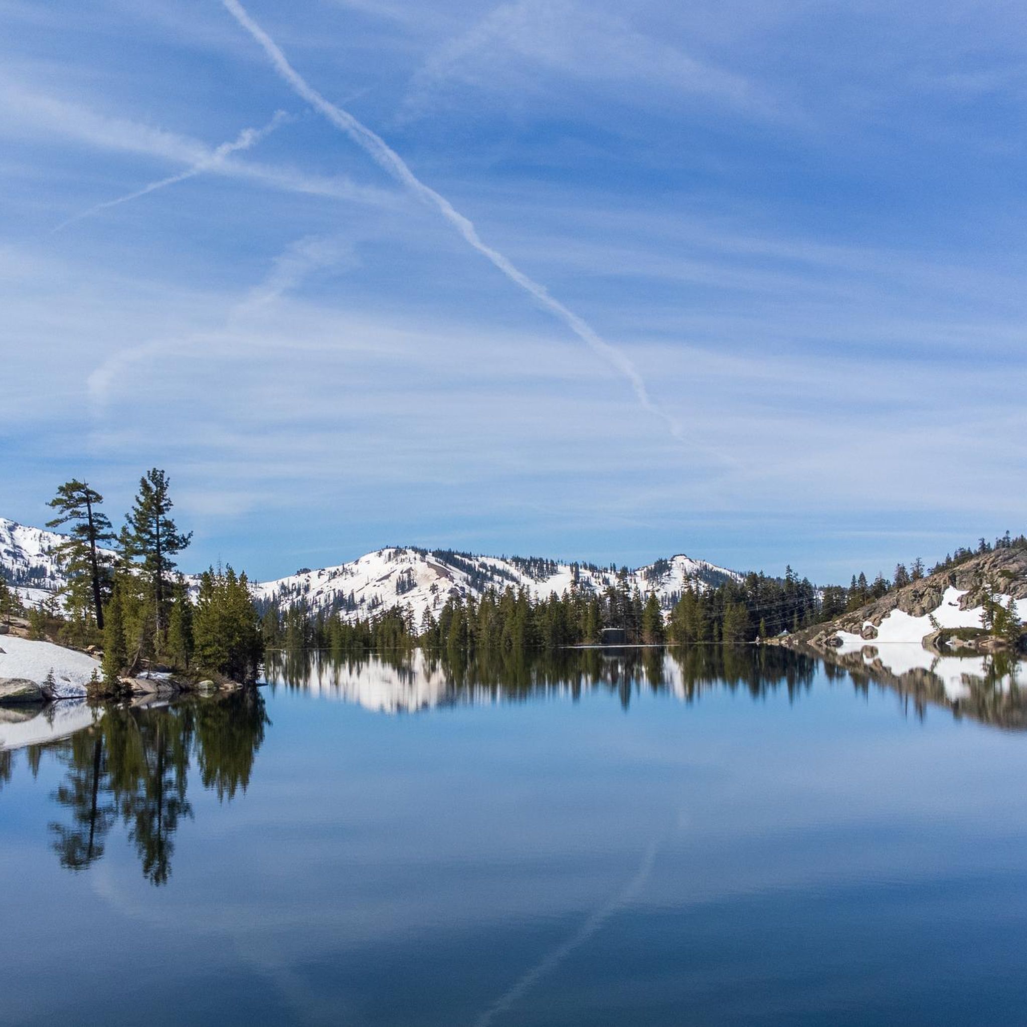
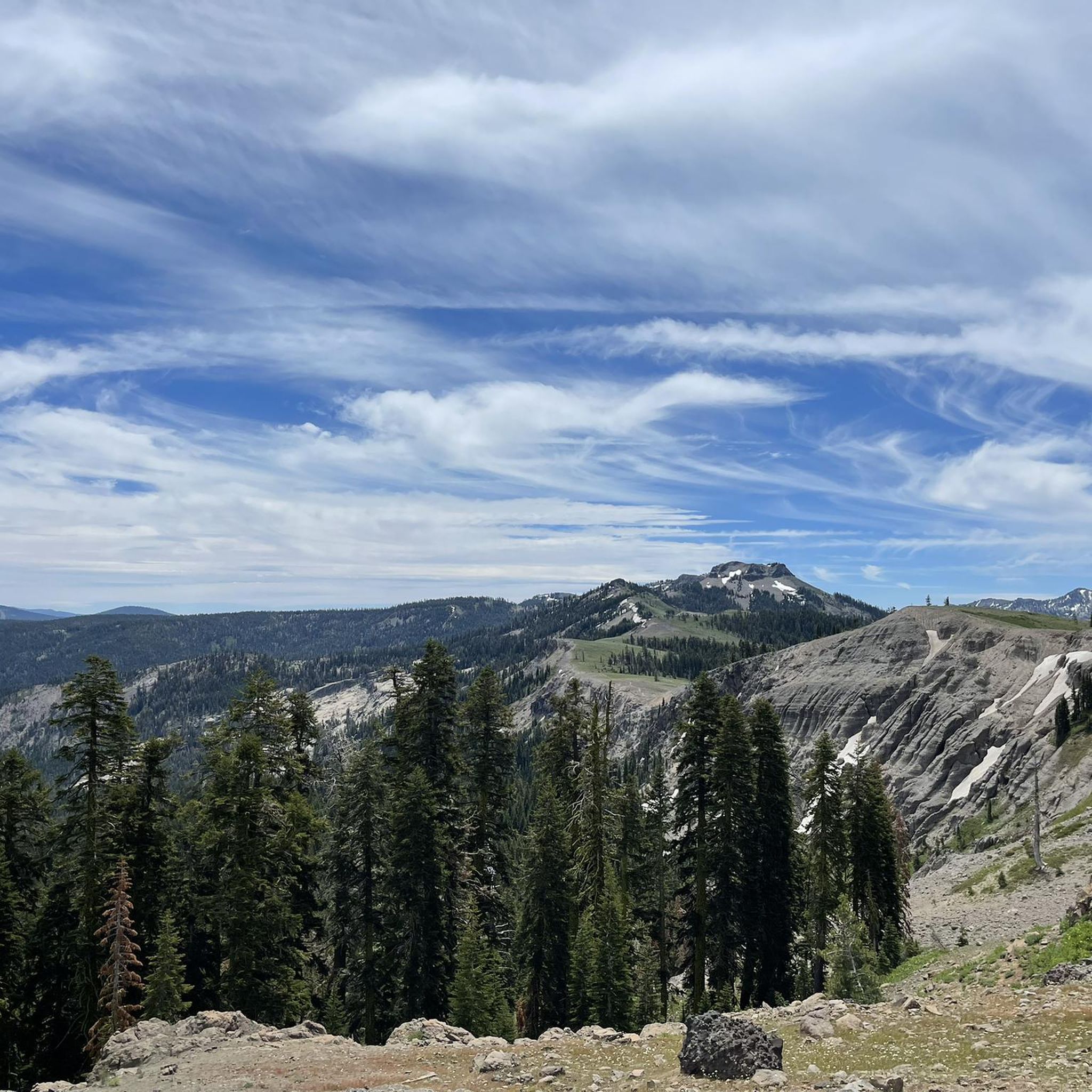
Best cycling routes Truckee are found amidst the Sierra Nevada mountains, offering diverse terrain for touring cyclists. The region is characterized by high-elevation landscapes, dense pine forests, and scenic alpine lakes. The Truckee River meanders through the area, providing picturesque riverside trails, while Donner Lake offers routes with views of its shores. This environment provides a variety of cycling experiences, from paved paths to challenging mountain and gravel routes.
Best touring cycling routes around Truckee
- The most popular touring cycling…
Last updated: August 18, 2026
2
riders
17.7km
01:46
340m
340m
The Cold Stream Road to South Shore Drive loop offers a dynamic touring cycling experience, blending varied terrain with stunning Sierra scenery. You'll start on Coldstream Road, which alternates between…
1
riders
51.7km
04:23
1,060m
1,060m
The North Star to Tahoe Rim Trail gravel ride loop is a demanding journey through the diverse landscapes of the Tahoe National Forest. You'll navigate unpaved forest roads, multi-use trails,…

Sign up for free
5.0
(1)
31
riders
53.4km
03:04
250m
250m
Moderate bike ride. Good fitness required. Mostly paved surfaces. Suitable for all skill levels.
25
riders
11.7km
00:43
70m
70m
Easy bike ride. Great for any fitness level. Mostly paved surfaces. Suitable for all skill levels.
44
riders
18.0km
01:06
160m
160m
Moderate bike ride. Good fitness required. Mostly paved surfaces. Suitable for all skill levels.
Get access to more routes and recommendations from other explorers.
Sign up for free
Already have an account?
Our route recommendations are based on thousands of hikes, rides, and runs completed by other people on komoot.
Start today with a free account
Your next adventure awaits.
Login or Signup
Tips from the Community

The Emigrant Trail Museum of Donner Memorial State Park is a memorial park and museum. In the 1840s, immigrants came over to this area to seek a better life on the west coast. The Donner Party was trapped in these mountains during a horrible winter and were starving. Rumors have it they resorted to cannibalism, though the museum claims "no real evidence was found".
0
0

Lots of mosquitos during the summer, Good amount of shade and places to sit off the ground, however no water. There was some cellular service here though. (on AT&T)
0
0

A small stretch of sand with privileged views of Donner Lake and the surrounding forest. The beach is easily accessible from the road, making it a great spot to check out, or even take a refreshing dip.
0
0
China Cove is a sandy cove on the southern shore of Donner Lake, perfect for a quick break during your ride. It’s quieter than the main beach, with calm water and nice views. There’s limited parking, but if you’re on two wheels, it’s easy to pull over and soak in the stillness before heading back on the road.
0
0
Brockway Road (Highway 267) offers a challenging climb heading out of Truckee. The first few miles through Martis Valley are mostly flat, giving you a gentle warm-up. Then comes a steady ascent to Brockway Summit at 7,179 feet, 1,400 feet of elevation gain over 8.5 miles. A solid ride if you're looking to mix endurance with alpine scenery.
0
0

Very Nice and Easy trail for all, ride it from Tahoe City all the way to Palisades if you like. beautiful scenery and views along the Truckee River.
0
0

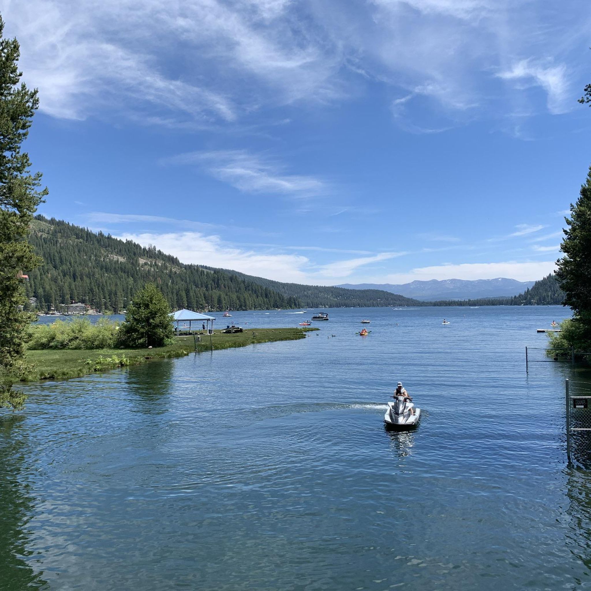
Donner Lake, situated at an elevation of 5,936 feet and with a depth of 328 feet, is fed by Summit Creek and Gregory Creek and drained by Donner Creek. The lake got its name from the ill-fated Donner Party, a group of pioneers who found themselves stranded in the harsh winter of 1846. Donner Lake today has 30 public docks, a State Park, 4 beaches, and lots of amenities.
0
0

There is a cool section of the trail here where you pass under some train tracks that follow along Cold Creek. This area, known as Horseshoe Bend because of the bend in the train tracks, can be quite scenic, especially if you enjoy train spotting!
0
0
Frequently Asked Questions
How many touring cycling routes are available in Truckee?
Truckee offers a wide variety of touring cycling experiences, with over 45 routes available on komoot. These routes cater to different skill levels, from easy paved paths to challenging gravel and road routes through the Sierra Nevada mountains.
What types of terrain can I expect on touring cycling routes in Truckee?
You'll find diverse terrain in Truckee. Many routes feature paved paths, such as the scenic Truckee River Legacy Trail and the Donner Lake Loop. There are also challenging road cycling options like the Historic Donner Pass Road, and numerous gravel routes that offer solitude and expansive mountain views, particularly towards the Tahoe Rim Trail.
When is the best time of year for touring cycling in Truckee?
The high elevation of Truckee, typically above 6,000 feet, provides cooler summer temperatures and crisp mountain air, making it an ideal cycling environment from late spring through early fall. While winter cycling is possible, many trails may be snow-covered, so the warmer months are generally preferred for touring.
Are there easy touring cycling routes suitable for families in Truckee?
Yes, Truckee has several easy touring cycling routes perfect for families. The Donner Lake – Lake View Canyon Road loop from Donner Lake is an easy option. Additionally, the paved Truckee River Legacy Trail and the Donner Lake Loop are excellent choices, offering gentle terrain and scenic views suitable for all ages.
What are some challenging touring cycling routes in Truckee?
For experienced touring cyclists seeking a challenge, the North Star to Tahoe Rim Trail gravel ride loop is a difficult 32.2-mile path with significant elevation gain. The Historic Donner Pass Road also offers a challenging climb with stunning vistas.
Can I find loop touring cycling routes in Truckee?
Absolutely. Many touring cycling routes in Truckee are designed as loops, allowing you to start and end in the same location. Examples include the Cold Stream Road to South Shore Drive loop and the Brockway Road – Fiftyfifty Brewing Co. loop from Union Mills.
Are there touring cycling routes with scenic viewpoints in Truckee?
Truckee's routes are renowned for their scenic beauty. The Sierra Nevada mountains provide a backdrop of rugged peaks and alpine lakes. Routes around Donner Lake offer beautiful views, and the Historic Donner Pass Road features panoramic mountain vistas, including the famous Rainbow Bridge. You can also find stunning views from Roller Pass Overlook.
What historical sites or landmarks can I see along touring cycling routes?
Truckee is rich in history. The Historic Donner Pass Road itself is a significant landmark. You can also visit the Historic Donner Pass Summit ⛰️ Pacific Crest Trail crossing and the Donner Camp Historical Site Trailhead & Picnic Area, which are accessible from various routes.
What do other touring cyclists enjoy the most about touring cycling in Truckee?
The area is highly rated by the komoot community, with an average score of 4.2 stars from over 5 reviews. Reviewers often praise the diverse terrain, from easy paved paths along the Truckee River to challenging gravel routes with expansive mountain views, and the stunning natural beauty of the Sierra Nevada.
Are there any long-distance touring cycling routes that connect to other areas?
Yes, Truckee's proximity to Lake Tahoe allows access to longer routes. The Tahoe Rim Trail, a legendary multi-use route stretching 165 miles around the Lake Tahoe Basin, offers challenging terrain for experienced riders. Additionally, the West Shore Trail – Truckee River Trail loop from Truckee provides a substantial distance for a day ride.
What should I be aware of regarding the high altitude when cycling in Truckee?
Given Truckee's high elevation, it's important to take time to acclimatize, especially if you're coming from sea level. Staying well-hydrated and using sunscreen are also crucial for an enjoyable and safe cycling experience in the mountains.
Are there less crowded touring cycling routes for a more solitary experience?
If you're looking for solitude, consider exploring the gravel routes around Truckee and the North Lake Tahoe area. These routes are known for being light on traffic and offer a more secluded cycling adventure amidst nature.
Most popular routes around Truckee
Most popular attractions around Truckee

Get inspired with the komoot mobile app


Explore more
Browse the best Cycling routes in other regions.
