The best walks and hikes around San Gabriel
4.8
(47)
1,298
hikers
62
hikes
Hiking around San Gabriel is defined by the rugged terrain of the San Gabriel Mountains and the expansive Angeles National Forest. The region features an extensive network of trails that navigate through chaparral-covered foothills, deep canyons, and along riverbeds. Diverse topography includes rolling peaks, canyons, and waterways like the San Gabriel River, with elevations ranging from 1,200 to over 10,000 feet. Many routes lead to waterfalls or offer significant elevation gain to viewpoints across the landscape.
Best hiking trails around…
Last updated: July 1, 2026
5.0
(1)
17
hikers
4.15km
01:06
30m
40m
The Los Angeles Arboretum Trail offers a serene escape into a world of diverse flora and fauna, making it one of the top rated easy trails in the area. You'll…
14
hikers
4.09km
01:05
40m
50m
The Huntington Library and Gardens offers a network of trails that are more akin to leisurely strolls than strenuous hikes, making it an ideal destination for a relaxed day out.…

Sign up for free
6
hikers
1.69km
00:26
10m
10m
The Almansor Park Loop offers a delightful, easy walk through a green oasis in Alhambra. You'll follow paved paths winding through 27.2 acres of lush parkland, shaded by tall trees…
3
hikers
2.14km
00:33
10m
0m
The Lacy Park Loop offers a delightful escape into a meticulously maintained green space, feeling more like a botanical garden than a typical trail. You will wander through an arboretum-like…
914m
00:16
20m
20m
The Edison Trail in Monterey Park offers a straightforward and very accessible experience, ideal for a quick outdoor break. This beginner-friendly path features short, gentle inclines, providing a pleasant walk…
Get access to more routes and recommendations from other explorers.
Sign up for free
Already have an account?
Our route recommendations are based on thousands of hikes, rides, and runs completed by other people on komoot.
Start today with a free account
Your next adventure awaits.
Login or Signup



Tips from the Community

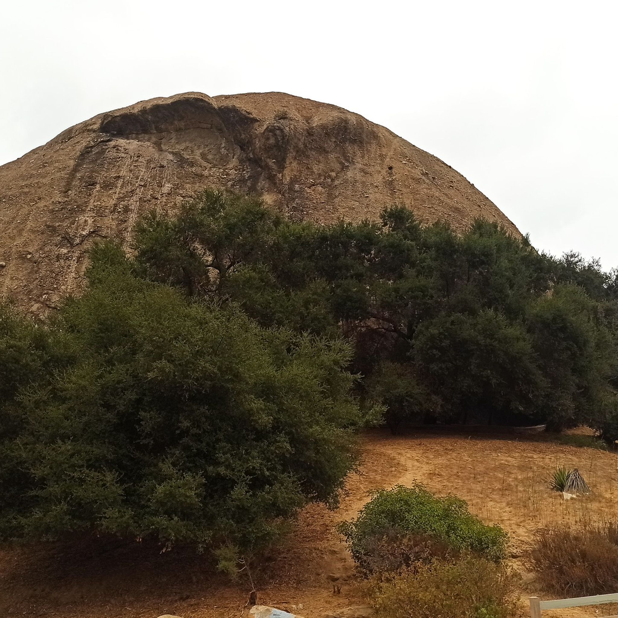
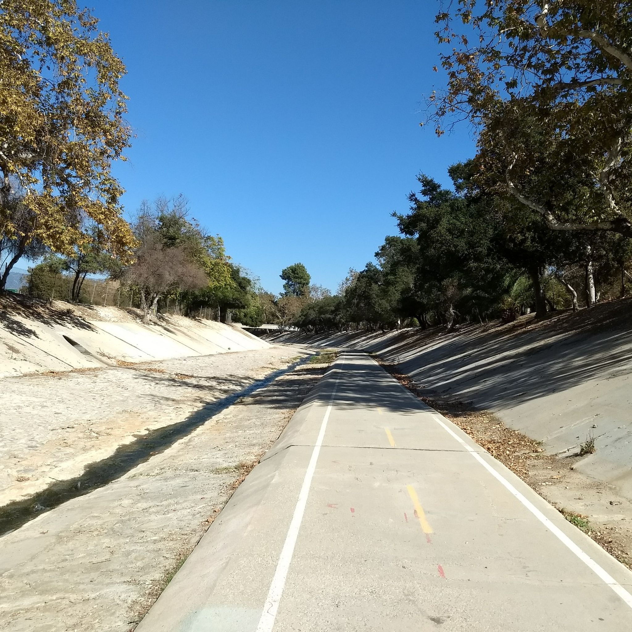
Enormously sized park in an area of expensive villas. Much is used by a country club golf course, as well as some community park area with ponds, meadows, picnic areas etc.
0
0
Famous art museum and Botanical Gardens open to the public, $25. Library for reaearchers
2
0
Frequently Asked Questions
When is the best time to hike in the San Gabriel Mountains?
Hiking is possible year-round, but each season offers a different experience. Spring is ideal for seeing the region's waterfalls at their most powerful and for enjoying lush, green landscapes. Summer can be very hot and rugged, so early morning starts are recommended. Autumn provides pleasant temperatures, while winter can bring snow to the higher peaks, offering glorious white vistas but requiring appropriate gear.
Are there any easy, family-friendly hikes in the San Gabriel area?
Yes, there are several options suitable for families and beginners. The Lower Arroyo Park loop is a great choice, offering a relatively flat 3-mile (5 km) path in Pasadena. Another good option is the Eaton Canyon Trail, a shorter walk that follows a canyon floor.
Can I bring my dog on hikes in the San Gabriel Mountains?
Many trails within the Angeles National Forest are dog-friendly, but your dog must be on a leash at all times. It's important to check specific trail regulations before you go, as rules can vary, especially in designated nature preserves. Always bring enough water for both you and your pet, as the terrain can be exposed and hot.
Where can I find hikes with waterfalls near San Gabriel?
The San Gabriel Mountains are known for their waterfalls, especially after rainfall. Besides the popular Eaton Canyon falls, you can find others like Sturtevant Falls in the Chantry Flat area and Cooper Canyon Falls. These hikes often involve navigating canyons and stream crossings, and the waterfalls are most impressive during the spring.
What are some of the most challenging hikes in the region?
For experienced hikers seeking a challenge, the San Gabriel Mountains offer several strenuous ascents. The trek to Mt. Baldy is an iconic local challenge with significant elevation gain. Other difficult hikes include the trails to Telegraph Peak and Cucamonga Peak, which reward the effort with panoramic views across Southern California.
Do I need a permit to hike to the Bridge to Nowhere?
You do not need a permit for the hike itself, but you do need a National Forest Adventure Pass to park your vehicle at the trailhead in the Angeles National Forest. The hike is a popular 10-mile round trip that involves multiple river crossings, so be prepared to get your feet wet.
What should I pack for a day hike in the San Gabriels?
It's essential to be prepared. Key items include plenty of water (more than you think you'll need), sun protection like a hat and sunscreen, and sturdy hiking shoes. The weather can change quickly, so layering your clothing is a good idea. Also, pack snacks for energy, a basic first-aid kit, and a map or a fully charged phone with a GPS app.
How many hiking trails are there around San Gabriel?
There are over 20 designated hiking routes to explore around San Gabriel on Komoot, ranging from easy canyon walks to difficult mountain peak ascents. The broader Angeles National Forest contains hundreds of miles of trails, offering a vast network for every skill level.
What do other hikers think of the trails in San Gabriel?
The trails around San Gabriel are highly regarded by the Komoot community. Hikers often praise the stunning mountain scenery, the variety of trails available, and the rewarding views from the peaks. The mix of chaparral-covered hills, deep canyons, and forested areas is frequently mentioned as a major highlight.
Are there any circular or loop hikes available?
Yes, there are several loop trails that allow you to enjoy a varied hike without backtracking. The Mt. Wilson Trail via Bailey Canyon Trail loop is a challenging 7.5-mile (12 km) option that offers a comprehensive tour of the area's terrain.
Where are the best places to park for hikes in the Angeles National Forest?
Parking is available at most major trailheads, such as Chantry Flat, Eaton Canyon, and the Bridge to Nowhere. However, these lots can fill up very quickly, especially on weekends. A National Forest Adventure Pass is required for parking in many areas. It's always best to arrive early to secure a spot.
Most popular attractions around San Gabriel

Get inspired with the komoot mobile app


Explore more
Browse the best Hikes in other regions.
