The best walks and hikes around Gardena
4.8
(14)
1,469
hikers
63
hikes
Hiking trails around Gardena feature a mix of urban parks and coastal paths, offering accessible outdoor experiences. The terrain is generally flat, with minimal elevation changes, making it suitable for easy walks. Routes often traverse green spaces and follow paved or well-maintained paths near the Pacific coast.
Best hiking trails around Gardena
- The most popular hiking route is Charles H. Wilson Park loop — Torrance, a 1.1 miles (1.7 km) trail that takes 26 minutes to complete. This easy loop offers a pleasant walk through a local park.
- Another top favourite among local hikers is Redondo Beach Pier – Redondo Beach loop from Torrance, a moderate 5.8 miles (9.4 km) path. This route follows the coastline, providing views of the Pacific Ocean.
- Local hikers also love the Columbia Park loop — Torrance, a 1.3 miles (2.0 km) trail leading through a community park, often completed in about 31 minutes.
- Hiking around Gardena is defined by urban green spaces, paved bikeways, and coastal routes. The network offers options for different ability levels, with a focus on accessible and easy paths.
- The routes in Gardena are highly rated by the komoot community with an average score of 4.8 stars from over 14 reviews. More than 1000 hikers have used komoot to explore Gardena's varied terrain.
Last updated: October 16, 2026
2
hikers
2.77km
00:42
10m
10m
The Magic Johnson Park Loop offers an easy hiking experience, perfect for a quick outdoor escape. As you follow the route, you'll enjoy pleasant natural scenery and continuous lakeside views, encircling one of the park's two serene lakes. This accessible trail covers 1.7 miles (2.8 km) with a minimal elevation gain of just 20 feet (6 metres), making it an easy walk that typically takes around 42 minutes to complete.
Planning your visit is straightforward, as the park is highly accessible for everyone. You'll find it suitable for families, with stroller-friendly and wheelchair-friendly paths. If you're bringing your dog, there's also an off-leash dog park available, and parking is generally easy to find. The park serves as a vibrant community hub, offering various amenities for visitors.
Beyond the scenic path, the park features an innovative stormwater recycling system that supports mitigated wetlands, attracting local wildlife, especially birds. You can also explore educational California native habitat gardens and lush landscaping throughout the area. This focus on ecological sustainability and community makes the park a unique and enriching destination.
1
hikers
2.53km
00:38
10m
0m
The Laguna Dominguez Bike Path offers a straightforward, easy hiking experience on a paved surface, perfect for a quick outing. This 1.6-mile (2.5 km) route features a negligible 18 feet (6 metres) of elevation gain, making it accessible for nearly everyone, and you can comfortably complete it in about 38 minutes. You'll follow the Dominguez Channel, observing native grasses and urban greening efforts, with the path eventually leading to Alondra Community Regional Park where a lake hosts ducks and geese.
Planning your visit is simple, as the trail connects Lawndale and Hawthorne, offering convenient access to public transport like the Crenshaw Green Line Station. While the path is generally uncrowded and usable year-round, be prepared for some unmarked road crossings that require extra attention. It's a dog-friendly option, ideal for a casual walk when you need a dose of fresh air without a strenuous climb.
This trail stands out for its role in transforming urban stormwater infrastructure into a functional open space, providing active transportation options within Los Angeles County. It's a practical route for local residents and students, offering a glimpse of urban nature and a quiet alternative to more crowded recreational areas, despite some sections occasionally presenting less-than-pristine conditions like garbage or rough tracks.

1.56km
00:24
0m
0m
Hike the easy 1.0 mile (1.6 km) Madrona Marsh Loop Trail, a unique urban wetland in Torrance, perfect for birdwatching.
4
hikers
2.90km
00:45
10m
10m
The North Redondo Bikeway provides a pleasant, easy urban escape on a fully paved, concrete surface. It's more of a city stroll than a wilderness hike, winding through residential areas and under power lines, earning it the local moniker "Powerline Trail." This 1.8-mile (2.9 km) route with just 38 feet (12 metres) of elevation gain is perfect for a quick walk or jog, offering a consistent, flat experience that takes around 44 minutes.
Planning your visit is straightforward, as the trail is easily accessible within Redondo Beach. You'll find it's well-used by the community, and some sections are even lit at night, making it suitable for evening activities. Be mindful of street crossings, where motion sensors help alert drivers to pedestrians, but always exercise caution.
This multi-use path is a key community asset, connecting various local points and even linking to the Los Angeles Metro's Redondo Beach station. While the North Redondo Beach bike path scenery is primarily urban, it's part of the larger Marvin Braude Bike Trail system, offering extensive coastal views if you choose to extend your journey beyond this segment.
2
hikers
1.72km
00:26
0m
0m
Enjoy an easy 1.1-mile loop hike through Charles H. Wilson Park, featuring shaded paths, a pond with ducks, and a Japanese garden.
Get access to more routes and recommendations from other explorers.
Already have an account?
Our route recommendations are based on thousands of hikes, rides, and runs completed by other people on komoot.
Start today with a free account
Your next adventure awaits.


Tips from the Community

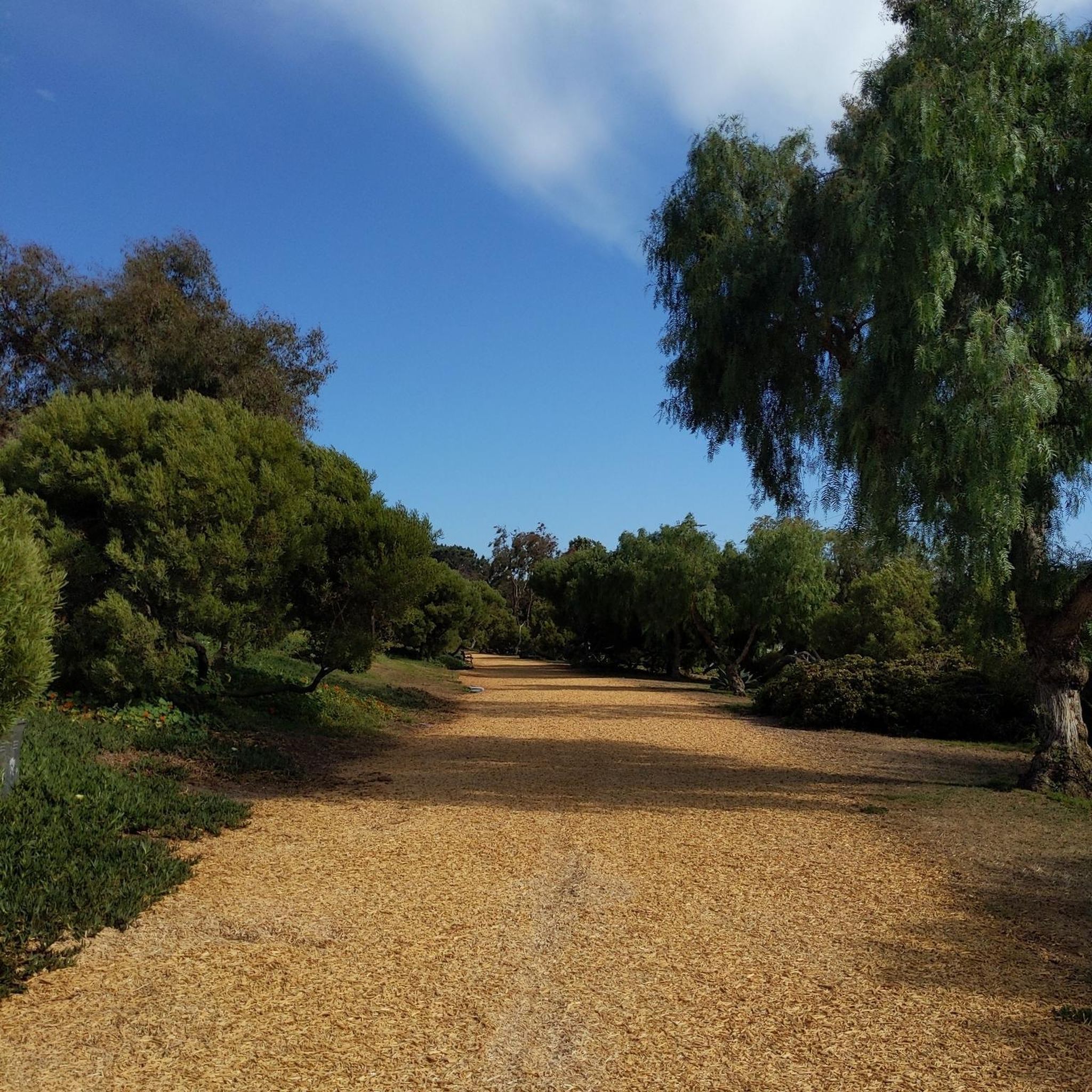
Dale Page Park is a small green space operated by the City of Redondo Beach. It is conveniently located next to Beach Cities Cafe and Confections and Panela’s Brazilian Cuisine. The park has basketball courts, children’s play areas, and a senior center, making it a great spot for visitors of all ages.
0
0
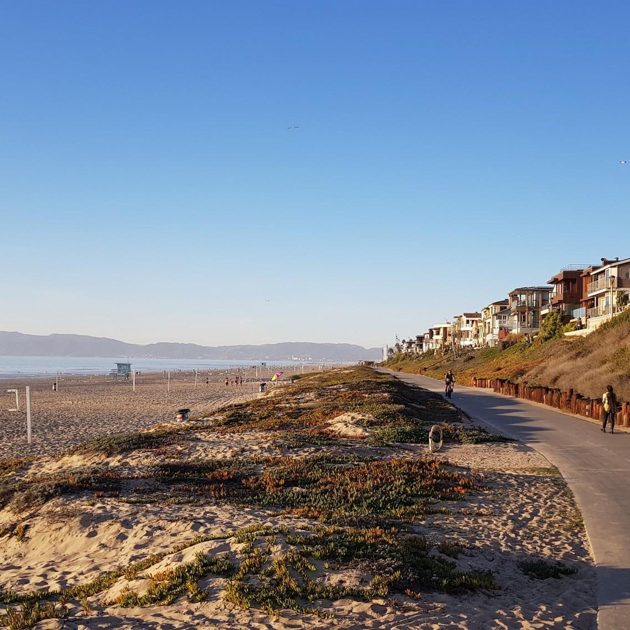
The North Redondo Beach Bikeway runs through North Redondo residential areas, under the powerlines, also giving it the nickname "Powerline Trail.". This signed bike route features designated bike lanes, shared low-stress streets, and a segment of separated, wide, lit trail along an overhead electric utility corridor. The trail spans from Rockefeller Ln. and Felton Ln. to Robinson St. and Phelan Ln., with a concrete surface throughout.
0
0

Charles H. Wilson Park in Torrance is a family-friendly spot offering a mix of recreational facilities and walking paths shaded by mature trees. It's a great place for a casual stroll or light outdoor activities. The park also features sports fields, picnic areas, and a roller hockey rink.
0
0
Frequently Asked Questions
How many hiking trails are available around Gardena?
There are over 45 hiking routes around Gardena, offering a variety of options from short park loops to longer coastal walks. Most of these trails are considered easy, with 34 easy routes, 9 moderate, and 2 more challenging options.
What kind of terrain can I expect on Gardena's hiking trails?
Hiking trails around Gardena primarily feature urban parks, paved bikeways, and coastal routes. The terrain is generally flat with minimal elevation changes, making it suitable for easy walks and accessible paths near the Pacific coast.
Are there any family-friendly hiking options in Gardena?
Yes, many trails in Gardena are suitable for families due to their generally flat terrain and urban park settings. For an easy and pleasant walk, consider the Charles H. Wilson Park loop — Torrance, which is just 1.1 miles long.
Can I bring my dog on the trails around Gardena?
Many urban parks and paved paths in Gardena are dog-friendly, but it's always best to check local regulations for specific trails regarding leash requirements and waste disposal. Generally, well-behaved dogs on a leash are welcome.
Are there any loop hikes available in Gardena?
Yes, Gardena offers several convenient loop hikes. A popular choice is the Columbia Park loop — Torrance, a 1.3-mile trail through a community park. For a longer coastal experience, the Redondo Beach Pier – Redondo Beach loop from Torrance offers a moderate 5.8-mile path along the ocean.
What natural features or landmarks can I see while hiking in Gardena?
Hiking around Gardena often provides views of the Pacific Ocean and access to various beaches. Notable attractions include Torrance Beach, El Segundo Beach, and Manhattan Beach and Pier. You can also find viewpoints like Miramar Park along some routes.
What is the best time of year to go hiking in Gardena?
Gardena's mild climate makes it suitable for hiking year-round. However, spring and fall offer particularly pleasant temperatures for outdoor activities. Coastal routes can be enjoyable even in summer, benefiting from ocean breezes.
Are there options for longer coastal walks?
Absolutely. For a more extensive coastal experience, consider the moderate Redondo Beach – Hermosa City Beach loop from Torrance, which spans nearly 10 miles and offers continuous ocean views.
What do other hikers enjoy most about the trails in Gardena?
The trails in Gardena are highly rated by the komoot community, with an average score of 4.8 stars from over 14 reviews. Hikers often praise the accessibility of the paths, the pleasant urban green spaces, and the scenic coastal views.
Is there public transport access to hiking trails in Gardena?
Gardena and its surrounding areas are generally well-served by local public transport, which can provide access to many of the urban parks and coastal areas where trails are located. It's advisable to check specific bus routes and schedules for your chosen trailhead.
Are there cafes or amenities near the hiking trails?
Given the urban and coastal nature of Gardena's trails, you'll often find cafes, restaurants, and other amenities conveniently located near trailheads, especially in areas like Redondo Beach and Manhattan Beach.
What is the typical elevation gain on Gardena's hiking trails?
The hiking trails around Gardena are characterized by minimal elevation changes. Most routes are relatively flat, with even moderate trails like the Redondo Beach Pier – Redondo Beach loop from Torrance having less than 200 feet of elevation gain, making them suitable for those seeking less strenuous climbs.
Most popular routes around Gardena
Most popular attractions around Gardena

Get inspired with the komoot mobile app


Explore more
Browse the best Hikes in other regions.
