The best road cycling routes around Foster City
4.6
(81)
4,445
riders
162
rides
Road cycling routes around Foster City are characterized by a predominantly flat topography, offering accessible rides along its unique waterfront landscape. The city features an extensive network of paved paths, including segments of the San Francisco Bay Trail, providing scenic views of the bay and marshlands. Artificial lagoons, such as Oracle Lagoon and Marina Lagoon, are prominent features, bordered by levee pedways that create smooth cycling surfaces. This environment supports a range of cycling experiences, from leisurely rides to more focused training.
Best road cycling routes around Foster City
- The most popular road cycling route is Lower Kings Mountain Road – Kings Mountain Road loop from Hillsdale, a 33.2 miles (53.4 km) trail that takes 2 hours 51 minutes to complete. This route features significant elevation gain through varied terrain.
- Another top favourite among local road cyclists is Pulgas Water Temple – Woodside Village Church loop from Belmont, a moderate 21.8 miles (35.0 km) path. This route offers a mix of flat sections and moderate climbs, passing by the Pulgas Water Temple.
- Local road cyclists also love the Coyote Point Recreation Area – Bay Trail - Foster City Levee loop from Belmont, a 19.6 miles (31.6 km) trail leading through the San Francisco Bay Trail, often completed in about 1 hour 18 minutes.
- Road cycling around Foster City is defined by its artificial lagoons, the San Francisco Bay Trail, and levee pedways. The network offers options for different ability levels, from flat, scenic loops to more challenging routes with elevation.
- The routes in Foster City are highly rated by the komoot community with an average score of 4.6 stars from over 70 reviews. More than 3,000 road cyclists have used komoot to explore Foster City's varied terrain.
Last updated: July 9, 2026
4.7
(11)
224
riders
Easy road ride. Great for any fitness level. Mostly well-paved surfaces and easy to ride.
32
riders
30.3km
01:12
40m
40m
Easy road ride. Great for any fitness level. Mostly well-paved surfaces and easy to ride.

Sign up for free
5.0
(2)
29
riders
Moderate road ride. Good fitness required. Some segments of this route may be unpaved and difficult to ride.
27
riders
Easy road ride. Great for any fitness level. Mostly well-paved surfaces and easy to ride.
16
riders
115km
05:50
1,620m
1,620m
Hard road ride. Very good fitness required. Mostly well-paved surfaces and easy to ride.
Get access to more routes and recommendations from other explorers.
Sign up for free
Already have an account?
Our route recommendations are based on thousands of hikes, rides, and runs completed by other people on komoot.
Start today with a free account
Your next adventure awaits.
Login or Signup
Tips from the Community

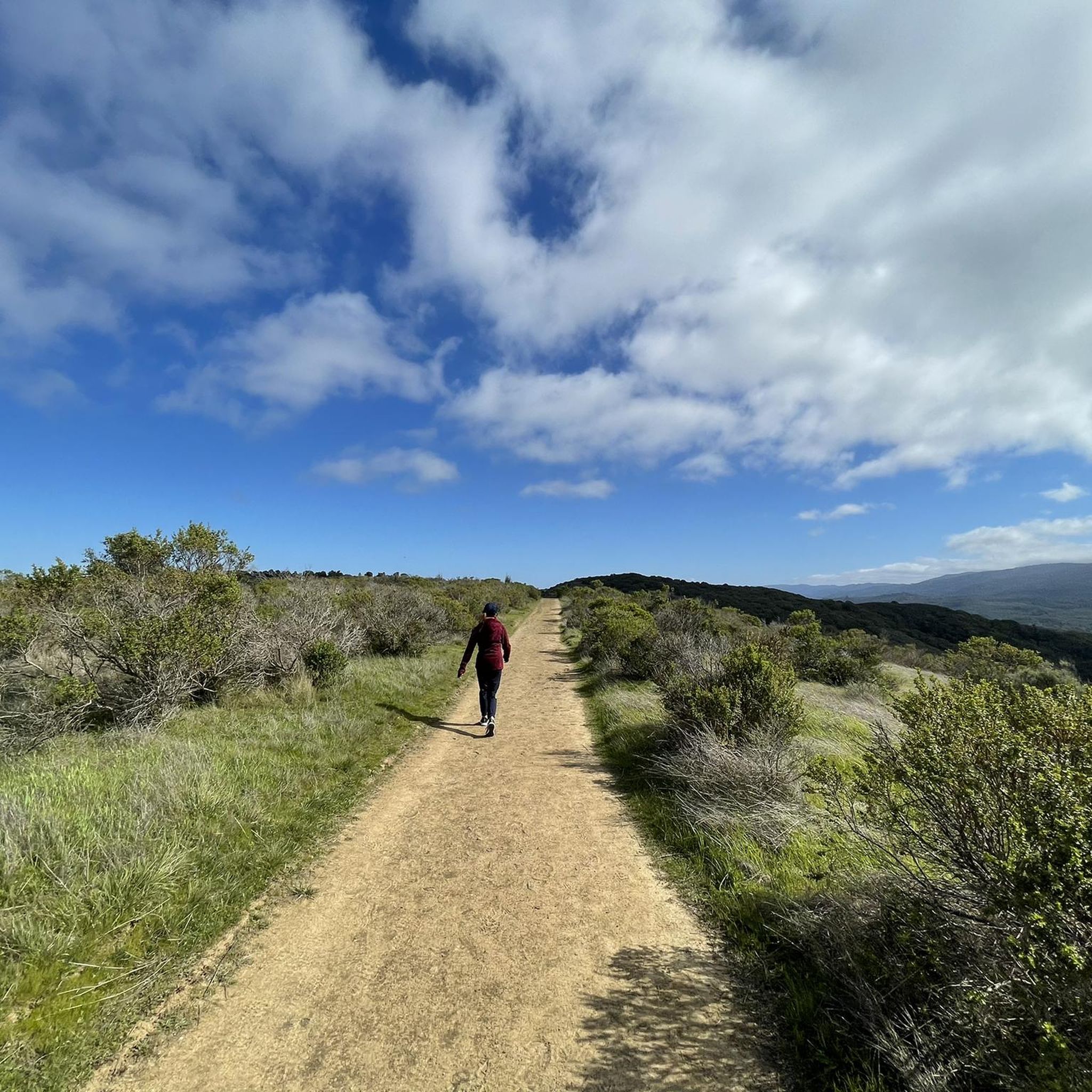
Top notch boke and pedestrian path with cool breezes and blue views. When it's too busy due to pedestrains, you can ride on the road that parallels below the path, it's quiet.
0
0

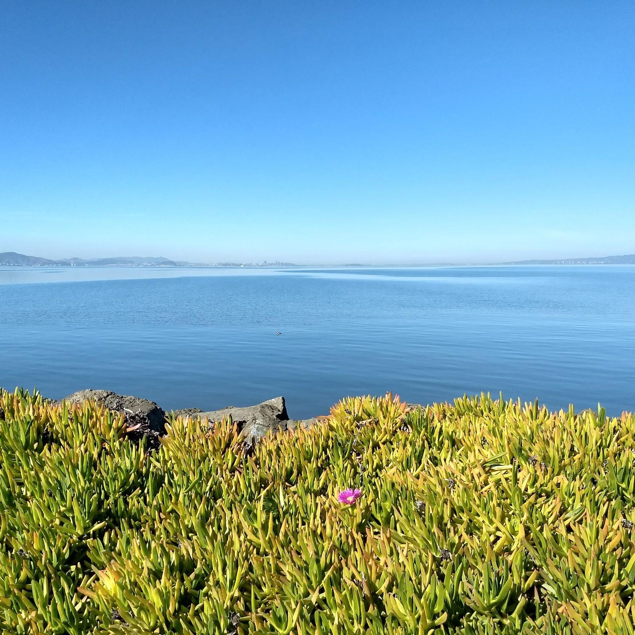
Surrounded by levees due to the higher water level compared to the ground elevation, this area serves as a focal point for the surrounding housing area. It provides opportunities for various water activities, including boating, swimming, windsurfing, and offers stunning views of the waterfront. If you decide to fish, make sure you have the proper license to do so.
0
0

Belmont Slough is picturesque, with salt marshes filled with cordgrass and pickleweed. Along this lovely path, you can see plenty of herons and shorebirds, adding to the beauty of this part of the estuary.
0
0

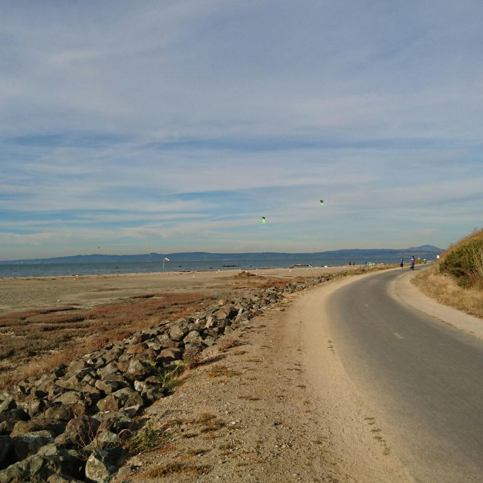
The Bay Trail wraps around Baywinds Park at Mariners Point. The views are great, and the trail is smooth and paved. Expect a bay breeze, especially windy in the afternoons.
1
0

Devils slide itself is nice and just to the south is the beautiful Gray Whales Cove beach. There is plenty of parking at both places. Two notes for cyclist: 1. cycling along Hwy 1, coming from Pacifica, requires climbing on a relatively narrow but highly frequented road. It is not a long climb until the turnoff to Devils slide, but it might be stressful for cyclists who are not used to riding in heavy traffic. Hwy 1 south of Devils slide has enough space for everyone. 2. If you cycle on Hwy1, then check the wind forecast beforehand. Dominant wind direction is NW, which means cycling southbound maximizes tailwind and minimizes breathing in all the air pollution from stinky cars.
0
0

Seal Point Park has walking and biking trails, a boardwalk that's great for birding, and a 3-acre dog park.
0
0
The slow-moving, almost still water and wetlands between you and Bair Island Ecological Preserve make up Smith Slough.
0
0
This creek starts in the foothills of the Santa Cruz mountains, running almost four miles to get to this point, where it flows into wetlands leading into San Francisco Bay.
0
0
Frequently Asked Questions
How many road cycling routes are available in Foster City?
Foster City offers a wide selection of road cycling routes, with over 150 options available. These routes cater to various skill levels, including 62 easy, 79 moderate, and 18 difficult trails, ensuring there's something for every cyclist.
What is the typical terrain like for road cycling in Foster City?
The terrain in Foster City is predominantly flat, making it highly accessible for road cyclists. Routes often feature paved paths along the San Francisco Bay Trail, levee pedways, and loops around artificial lagoons like Oracle Lagoon and Marina Lagoon. You'll enjoy smooth surfaces and scenic waterfront views.
What scenic landmarks or natural features can I expect to see along Foster City's road cycling routes?
Road cycling routes in Foster City offer diverse scenery. You can expect picturesque views of the San Francisco Bay, marshlands, and the city's unique artificial lagoons. Notable landmarks include the Pulgas Water Temple, which you can pass on routes like the Leon by Albert Guibara – Pulgas Water Temple loop from Hillsdale, and the tranquil Oracle Lagoon, featured in the Smith Slough – Oracle Lagoon loop from Bird Island. The marshlands are also home to diverse birdlife.
Are there family-friendly road cycling routes in Foster City?
Yes, Foster City's predominantly flat terrain and extensive network of paved paths make it ideal for family-friendly cycling. Many routes, especially those around the lagoons and along the San Francisco Bay Trail, are easy and offer a safe, enjoyable experience for all ages. The Smith Slough – Oracle Lagoon loop from Bird Island is an excellent easy option.
What is the best time of year for road cycling in Foster City?
Foster City generally offers pleasant cycling conditions year-round due to its mild climate. Spring and fall are particularly popular, with comfortable temperatures and clear skies. Summer can be warm but often benefits from bay breezes, while winter is typically mild, though occasional rain showers may occur.
Are there loop road cycling routes in Foster City?
Yes, Foster City features many excellent loop road cycling routes. Popular options include the Lower Kings Mountain Road – Kings Mountain Road loop from Hillsdale for a more challenging ride, or the Emily Renzel Wetlands – Baylands Nature Preserve loop from Belmont for a moderate, scenic experience. These loops allow you to start and end at the same point, often providing varied scenery along the way.
What do other road cyclists enjoy most about road cycling in Foster City?
The road cycling experience in Foster City is highly rated by the komoot community, with an average score of 4.6 stars. Cyclists frequently praise the beautiful bay views, the well-maintained paved paths, and the accessibility of routes for all skill levels. The unique lagoon scenery and opportunities for birdwatching are also often highlighted.
Are there any challenging road cycling routes with significant elevation gain near Foster City?
While Foster City itself is largely flat, the surrounding region offers more challenging routes. For instance, the Lower Kings Mountain Road – Kings Mountain Road loop from Hillsdale is a difficult 33.2-mile route with over 1,000 meters of elevation gain, providing a significant workout and varied terrain. Another challenging option is the Stevens Creek Reservoir – Portola Valley loop from Belmont, which covers over 100 km with substantial climbing.
Are there cafes or places to stop for refreshments along the road cycling routes?
Foster City's urban setting means there are various cafes and eateries conveniently located near many cycling paths, especially in the city center and along major roads. While specific routes may not have cafes directly on the trail, you'll find plenty of options within a short detour to refuel and relax.
What are the parking options for road cyclists in Foster City?
Foster City offers numerous public parks and community centers that often provide free parking, making them convenient starting points for road cycling routes. For example, Leo J. Ryan Memorial Park and Sea Cloud Park are popular choices with parking facilities, offering easy access to the lagoon and Bay Trail networks.
Can I access Foster City's cycling routes using public transport?
Yes, Foster City is served by SamTrans bus routes, which connect to Caltrain stations in nearby cities like San Mateo and Hillsdale. Many buses are equipped with bike racks, allowing you to bring your bicycle and access various starting points for cycling routes within Foster City and the wider peninsula area.
Are there any routes that connect Foster City to neighboring areas?
Absolutely. Foster City's integration into the San Francisco Bay Trail means you can easily connect to neighboring areas like San Mateo and Redwood Shores. This extensive network of paved paths allows for longer rides and exploration beyond the immediate city limits, offering continuous riding along the San Francisco Bay.
Most popular routes around Foster City
Most popular attractions around Foster City

Get inspired with the komoot mobile app


Explore more
Browse the best Road cycling routes in other regions.
