The best cycling routes around San Anselmo
4.6
(419)
5,100
riders
167
rides
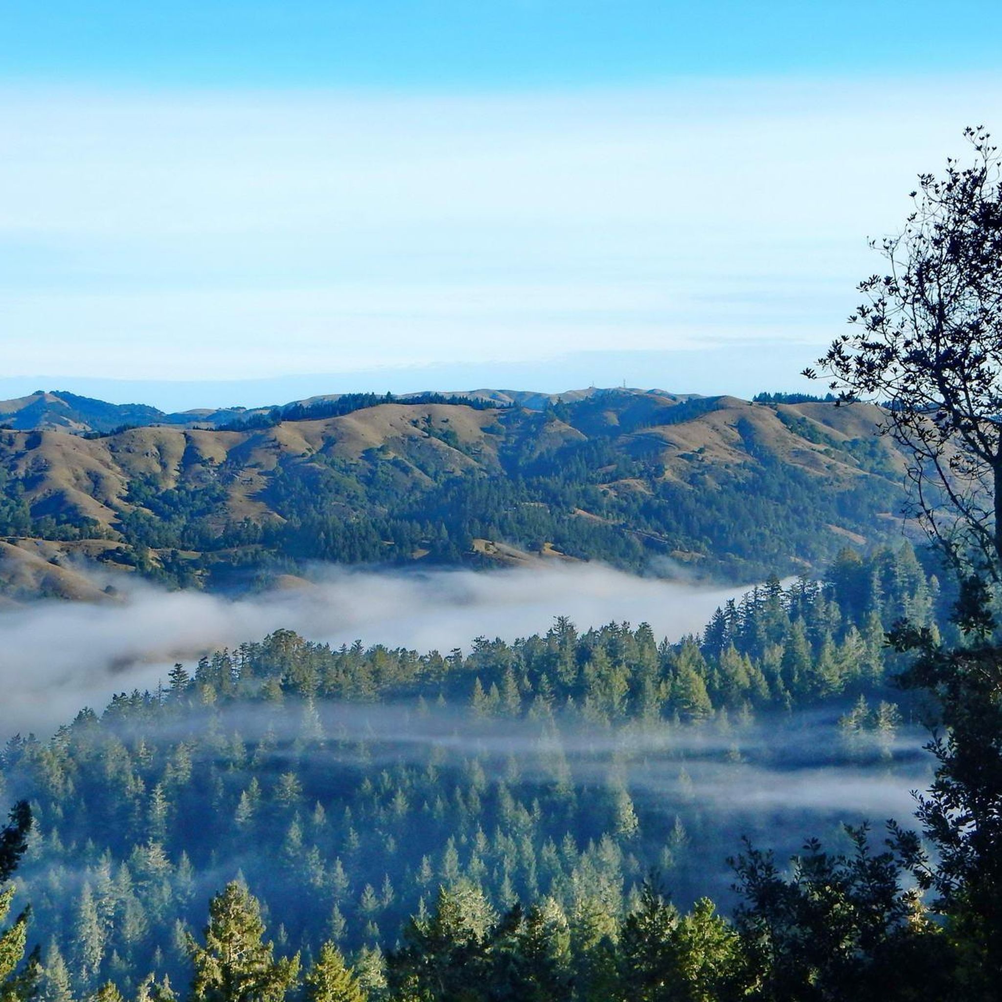
Touring cycling routes around San Anselmo are set amidst the rolling hills and valleys of Marin County, offering diverse landscapes for riders. The region features a network of trails that traverse redwood groves, oak trees, and serene lakes like Phoenix Lake and Lake Lagunitas. Cyclists can experience varied terrain, from gentle paths along creeks to more challenging climbs with views of Mount Tamalpais and the Ross Valley.
Best touring cycling routes around San Anselmo
- The most popular touring cycling route is Cascade Drive & Iron Springs Road loop, a 11.5 miles (18.5 km) trail that takes 1 hour 29 minutes to complete. This route leads through rolling hills and forested areas.
- Another top favourite among local touring cyclists is San Anselmo-Fairfax Bikeway – Alpine Lake Dam loop from San Anselmo, a difficult 19.5 miles (31.4 km) path. This route offers views of Alpine Lake and surrounding natural landscapes.
- Local touring cyclists also love the San Anselmo-Fairfax Bikeway – Glen Fire Rd Trailhead 🌳 loop from San Anselmo, a 13.7 miles (22.1 km) trail leading through varied terrain with views of the Ross Valley, often completed in about 1 hour 59 minutes.
- Touring cycling around San Anselmo is defined by rolling hills, redwood groves, and scenic lakes. The network offers options for different ability levels, from moderate rides to more difficult ascents.
- The routes in San Anselmo are highly rated by the komoot community with an average score of 4.7 stars from over 200 reviews. More than 4000 touring cyclists have used komoot to explore San Anselmo's varied terrain.
Last updated: October 10, 2026
1
riders
18.5km
01:29
330m
330m
Moderate bike ride. Good fitness required. Mostly paved surfaces. Suitable for all skill levels.
14.5km
01:28
450m
450m
Moderate bike ride. Good fitness required. Mostly paved surfaces. Suitable for all skill levels.

58
riders
47.4km
04:55
1,410m
1,410m
Hard bike ride. Very good fitness required. Mostly paved surfaces. Suitable for all skill levels.
35
riders
Easy bike ride. Great for any fitness level. Mostly paved surfaces. Suitable for all skill levels.
5.0
(4)
36
riders
31.1km
02:09
560m
560m
Hard bike ride. Very good fitness required. Mostly paved surfaces. Suitable for all skill levels.
Get access to more routes and recommendations from other explorers.
Already have an account?
Our route recommendations are based on thousands of hikes, rides, and runs completed by other people on komoot.
Start today with a free account
Your next adventure awaits.
Tips from the Community

An absolute must-see for cycling enthusiasts! This museum in Fairfax tells the story of nearly 200 years of cycling history, from 19th-century velocipedes to modern racing bikes. It's also home to the Mountain Bike Hall of Fame, featuring unique specimens and stories about the pioneers of mountain biking. The collection is impressive and authentic—no replicas, but real bicycles that showcase the evolution of technology and design. An inspiring place where you can truly feel the passion for cycling.
1
0

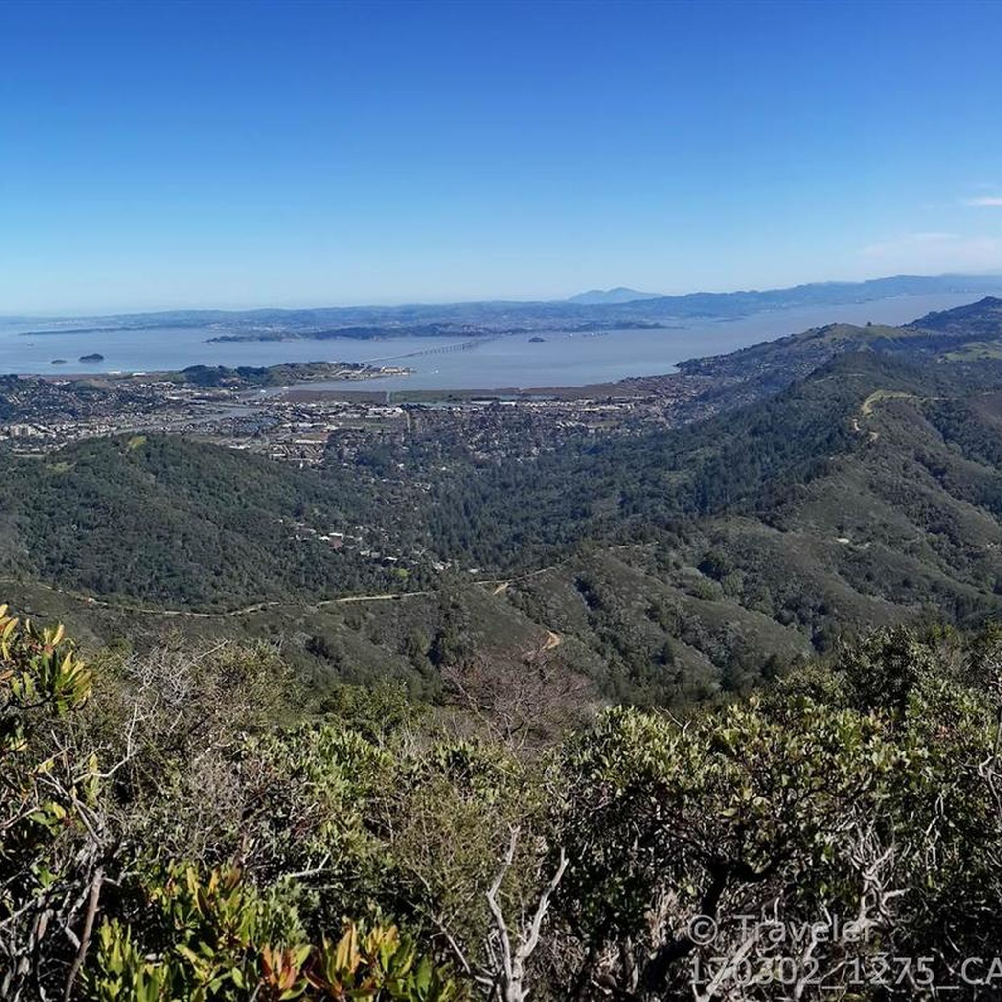
Mount Tam East Peak offers some of the most majestic views north of the bay. From this vantage point, you can see all of Marin, along with Point Reyes to the north and Oakland and San Francisco to the south. The stunning panoramic vistas make the journey well worth the effort. There are restrooms and picnic tables, ideal for a snack or lunch while you capture some incredible photos.
0
0

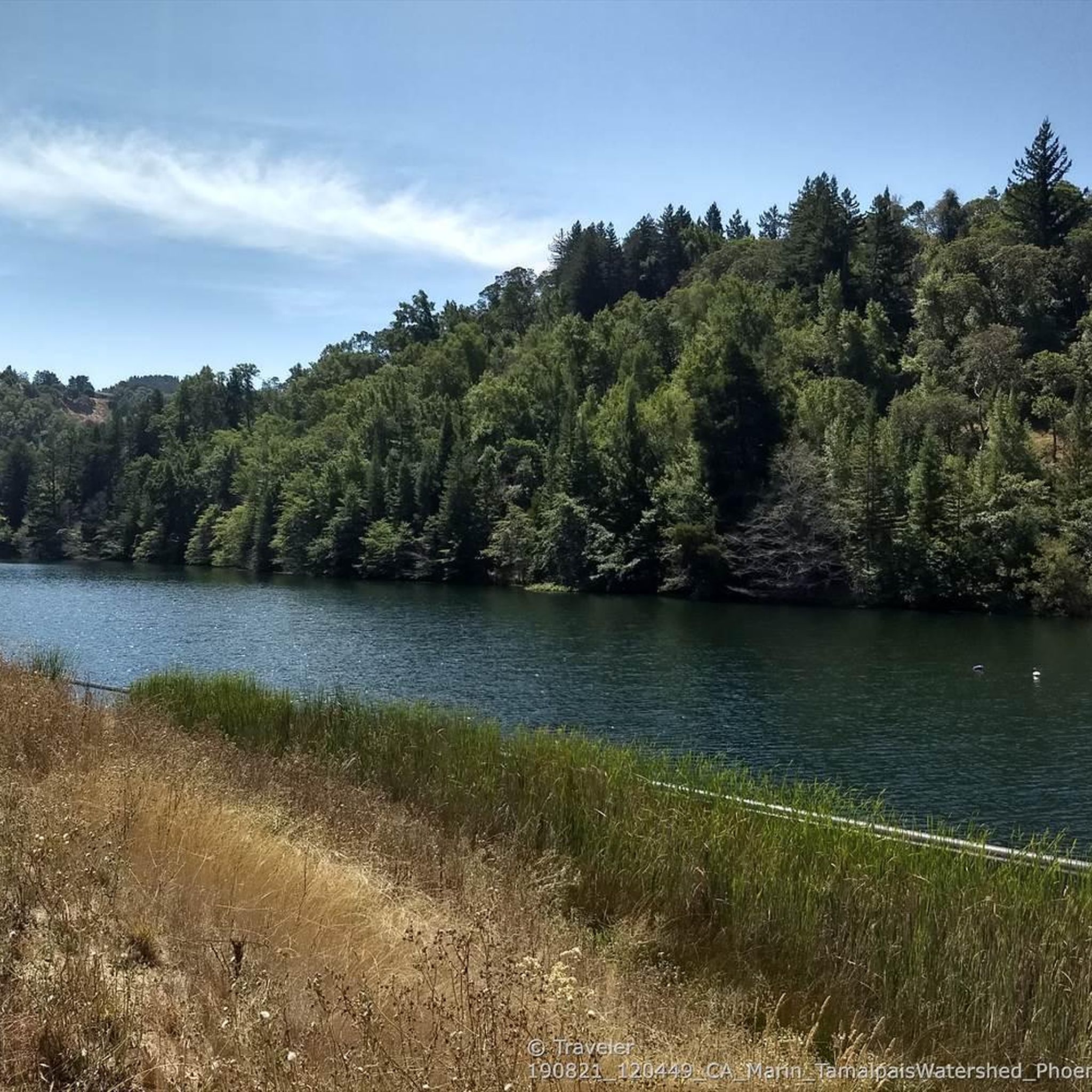
This lake was formed by the building of Alpine Dam in 1917. It sits between Kent Lake and Bon Tempe Lake, and is popular for a variety of outdoor activities.
0
0

Often busy on weekends, this is a great spot to take moment before/after summiting Mt Tam. There are spigots to fill up water and bathrooms that are open during park hours. The parking lot is very close for those that drive up. There is access to MANY trails for those on foot/bike.
0
0

At this point on Sky Oaks Road, there is a junction with Shaver Grade Road, which connects with a dense network of trails and dirt roads near Bald Hill in the Mount Tamalpais State Park. From here, you can continue on the paved Sky Oaks Road or go arond the gate on to the gravel Shaver Grade Road.
0
0
This paved bike trail runs through the College of Marin Campus along the Corte Madera Creek. This is a great trail for students and commuters, as well as cyclists looking for a traffic-free shortcut through the area.
0
0
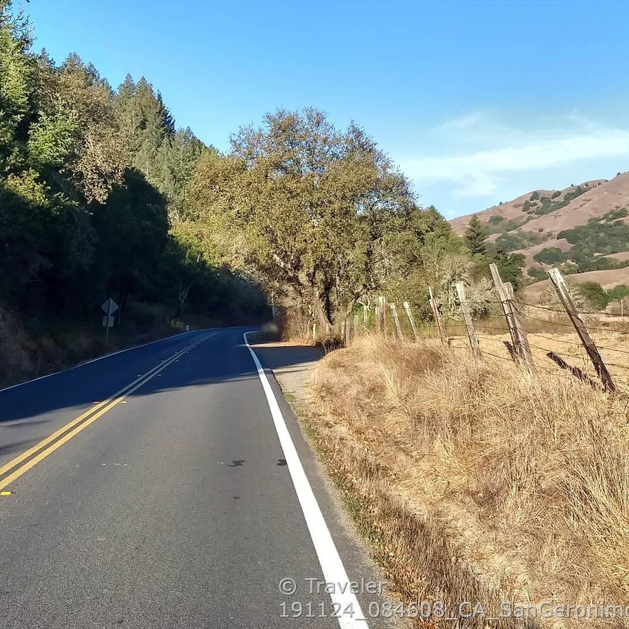
This bikeway offers a better alternative to the much busier Center Boulevard, which does not have a shoulder and an even better route than the Sir Francis Drake Blvd highway. Lansdale and San Anselmo Avenues are quiet residential streets that run parallel and provide a pleasant passage through town away from busy traffic.
1
0
Mount Tamalpais State Park is a majestic area in the heart of Marin County, with sweeping hillsides covered in fantastic redwood forest, open grasslands, sturdy chaparral, and wooded oaklands. The views from Mount Tampais boast breathtaking vistas of the Pacific Ocean, San Francisco Bay and City, the Marin County Hills, Mount Diablo, and the East Bay. You can even see the Farallon Islands, 25 miles out to sea. If you're lucky, you can catch an occasional glimpse of the snow-capped Sierra Nevada Mountain Range, nearly 150 miles away. The Park is a haven for cyclists, hikers, wildlife watchers, or those who wish to find a beautiful spot for an afternoon picnic.
0
0
Frequently Asked Questions
How many touring cycling routes are available around San Anselmo?
San Anselmo offers a variety of touring cycling routes, with over 10 options available for exploration. These routes cater to different preferences, ranging from moderate to more challenging rides through the scenic Marin County landscape.
What kind of terrain can I expect on touring cycling routes in San Anselmo?
The touring cycling routes around San Anselmo feature diverse terrain, characterized by rolling hills, redwood groves, and serene lakes. You'll find a mix of gentle paths along creeks and more challenging climbs that offer panoramic views of Mount Tamalpais and the Ross Valley.
What do other touring cyclists enjoy most about cycling in San Anselmo?
The touring cycling routes in San Anselmo are highly rated by the komoot community, with an average score of 4.7 stars from over 200 reviews. Cyclists often praise the varied terrain, the beautiful natural surroundings including redwood groves and lakes, and the rewarding views from higher elevations.
Are there routes suitable for beginners or those looking for an easier ride?
While many routes in San Anselmo are rated moderate to difficult, there are options that can be enjoyed by those looking for a less strenuous experience. For example, routes that stick to the valleys or flatter bikeways offer a more relaxed pace. Always check the route details for elevation gain and distance to match your comfort level.
What natural features and landmarks can I see along the touring cycling routes?
San Anselmo's touring cycling routes offer access to stunning natural features. You can cycle past iconic Phoenix Lake, Lake Lagunitas, and Alpine Dam. The region is also known for its redwood groves, oak trees, and views of Mount Tamalpais. For a truly immersive experience, consider routes that pass through areas like Muir Woods National Monument or the Cathedral Grove of Giant Redwoods.
Are there any circular touring cycling routes available?
Yes, many of the touring cycling routes around San Anselmo are designed as loops, allowing you to start and finish at the same point. A popular example is the Cascade Drive & Iron Springs Road loop, which takes you through rolling hills and forested areas. Another option is the San Anselmo-Fairfax Bikeway – Glen Fire Rd Trailhead 🌳 loop, offering views of the Ross Valley.
What is the best time of year for touring cycling in San Anselmo?
San Anselmo's mild climate makes it a pleasant destination for touring cycling year-round. Spring and fall generally offer the most comfortable temperatures and vibrant scenery. Even in winter, conditions are often favorable, though it's always wise to check local weather forecasts for rain or cooler temperatures before heading out.
Are there any touring cycling routes that offer views of the Golden Gate Bridge or San Francisco Bay?
While San Anselmo itself is nestled inland, some routes or nearby areas can lead to viewpoints offering spectacular coastal vistas. From San Anselmo, you can access viewpoints for the Golden Gate Bridge and the entire San Francisco Bay within about 20 minutes by car, including iconic spots like Battery Spencer and Kirby Cove. Look for routes that head towards the coast for these expansive views.
Can I find routes that pass by lakes or reservoirs?
Absolutely. The region features several beautiful lakes and reservoirs that are often incorporated into cycling routes. The San Anselmo-Fairfax Bikeway – Alpine Lake Dam loop offers views of Alpine Lake. Another great option is the Phoenix Lake – Lake Lagunitas Dam loop, which takes you around these serene bodies of water.
Are there any long-distance or challenging touring cycling routes?
For those seeking a more challenging ride, San Anselmo offers several difficult routes with significant elevation gain. The Bon Tempe Lake & Dam – Alpine Lake - Bon Tempe Dam loop is a demanding 30-mile (48 km) route with over 3,300 feet (1000 m) of elevation gain, providing a substantial workout and rewarding views.
Where can I find information about parking for touring cycling routes?
Parking availability varies by trailhead and starting point. Many routes originate near residential areas or designated open spaces. For specific parking information related to parks and open spaces in San Anselmo, you may find resources on the official town website: sananselmo.gov/Parks. It's always a good idea to check the starting point of your chosen route for local parking regulations.
Are there any specific bikeways or dedicated cycling paths in San Anselmo?
Yes, San Anselmo is connected to dedicated bikeways that enhance the touring cycling experience. The San Anselmo-Fairfax Bikeway is a notable example, providing a quieter alternative to busier roads and forming part of several popular loops, such as the San Anselmo-Fairfax Bikeway – Alpine Lake Dam loop.
Most popular routes around San Anselmo
Most popular attractions around San Anselmo

Get inspired with the komoot mobile app


Explore more
Browse the best Cycling routes in other regions.
