The best road cycling routes around La Cañada Flintridge
4.7
(217)
6,111
riders
97
rides
Road cycling routes around La Cañada Flintridge are situated in the foothills of the San Gabriel Mountains, offering diverse terrain. The region features well-paved roads that wind through varied topography, providing access to the Angeles National Forest. Cyclists can experience both challenging mountain climbs and more moderate loops within this Southern California landscape. The area's picturesque foothill setting contributes to its appeal for road cycling.
Best road cycling routes around La Cañada Flintridge
- The most popular road cycling route is…
Last updated: July 6, 2026
5.0
(1)
251
riders
76.9km
04:53
1,860m
1,860m
Hard road ride. Very good fitness required. Mostly well-paved surfaces and easy to ride.
4.9
(13)
230
riders
36.1km
01:55
530m
530m
Moderate road ride. Good fitness required. Mostly well-paved surfaces and easy to ride.

Sign up for free
6
riders
27.2km
01:22
450m
450m
Moderate road ride. Good fitness required. Mostly well-paved surfaces and easy to ride.
14
riders
30.9km
01:29
360m
360m
Moderate road ride. Good fitness required. Mostly well-paved surfaces and easy to ride.
5
riders
18.5km
01:03
330m
330m
Moderate road ride. Good fitness required. Mostly well-paved surfaces and easy to ride.
Get access to more routes and recommendations from other explorers.
Sign up for free
Already have an account?
Our route recommendations are based on thousands of hikes, rides, and runs completed by other people on komoot.
Start today with a free account
Your next adventure awaits.
Login or Signup
Tips from the Community

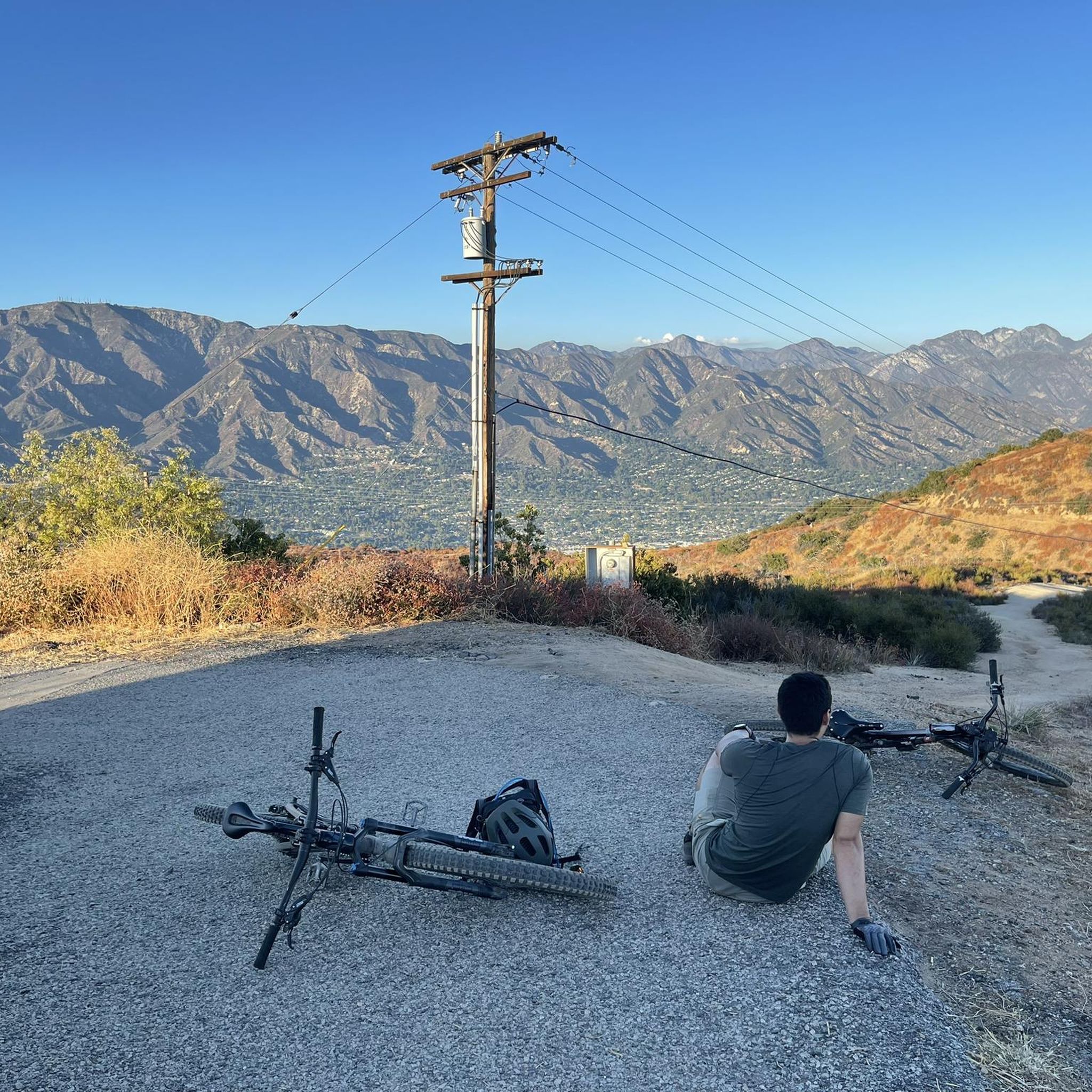
The road south creates a nice, fast, gradual descent from the north side of Altadena. Just be safe and keep an eye out for cross-traffic at the intersections.
0
0

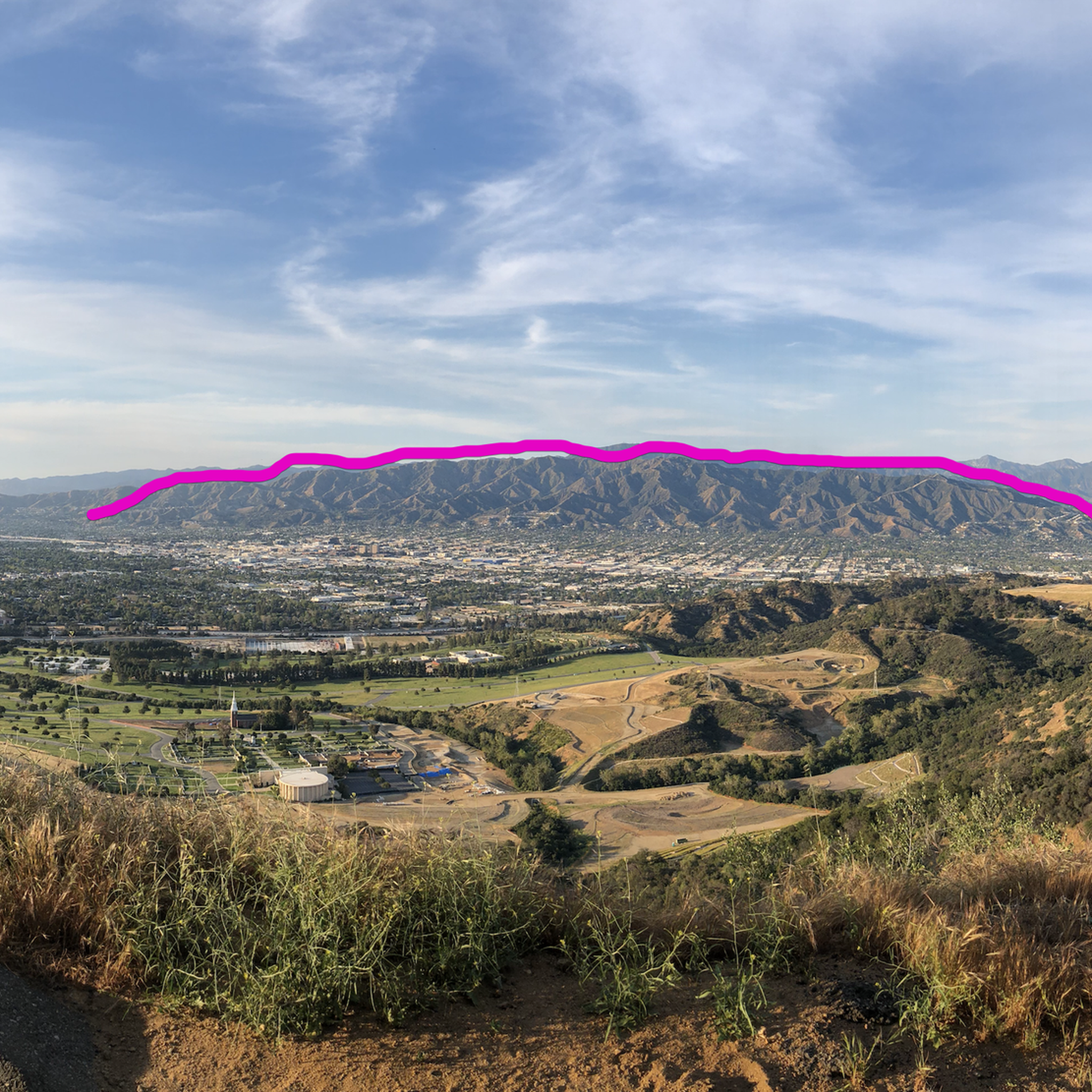
The Verdugo Wash Debris Basin is a beautiful, small lake created by the Verdugo Wash, a tributary of the Los Angeles River. There are nice views of the lake from both Country Club Drive and La Crescenta Avenue.
0
0

A quick pull-off from the Angeles Crest Highway gives way to Millard Falls Trailhead and LA Overlook, with great views of downtown and the forests in the gateway to Angeles National Forest.
0
0
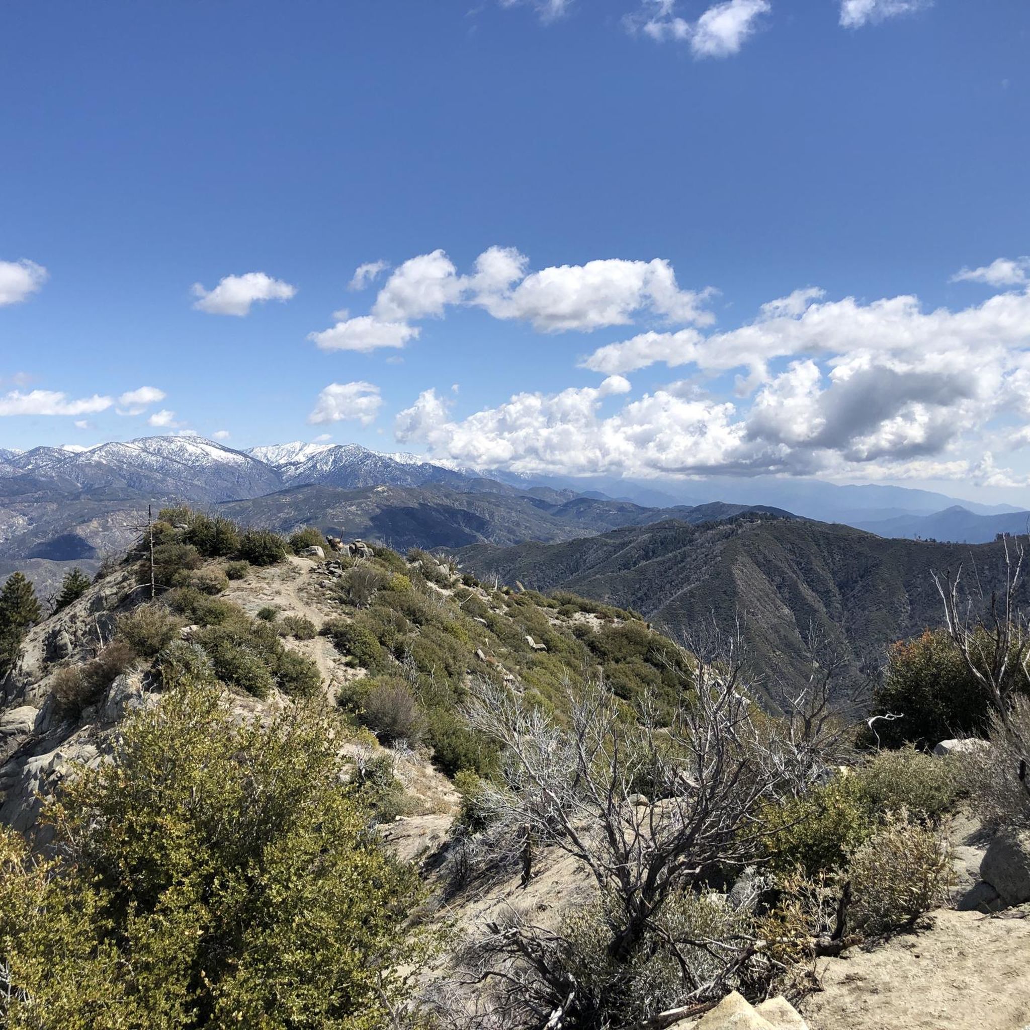
Red Box Gap, located below Lawlor Peak, offers great views and an ideal spot for a break. A 3.5-mile trail from here leads to Strawberry Peak, which comes into view before reaching the saddle. Popular with hikers and bikers, Red Box has a trailhead parking area, the Haramokngna American Indian Cultural Center, and a natural stone viewpoint. The center typically opened on weekends and holidays from 10 a.m. to 6 p.m.
0
0
Explore the looped road around the summit of Mount Wilson, a prominent peak known for its historic Mount Wilson Observatory. The summit houses telescopes, solar towers, and the modern CHARA Array for stellar research. Standing at 5,710 feet, Mount Wilson offers sweeping views of the Los Angeles Basin, the Pacific Ocean, and the Channel Islands on clear days. This site also serves as a major broadcast hub for the Greater Los Angeles area, easy to see with the numerous antennas and relay facilities sticking out all over the summit.
1
0

Built in 1912 this historic bridge plays an important part in the growth of the city. For a short time in the 1930's and 40s it was part of the iconic "Route 66" that stretched from Santa Monica to Chicago. Aside from a short closure and refurbishment after the 1989 Loma Prieta earthquake, the bridge has been in operation for well over a century.
1
0
Brookside Park is Pasadena's largest fully maintained park at 61.1 acres. It sits south of Rose Bowl Stadium with tons of parking off Arroyo Boulevard. The park features a lighted baseball diamond, two softball diamonds, and a large, lighted, multi-purpose field for soccer and flag football. There is also a speaker's platform with permanent seating, numerous picnic tables, barbecue pits, a play area, restrooms, and drinking fountains.
0
0

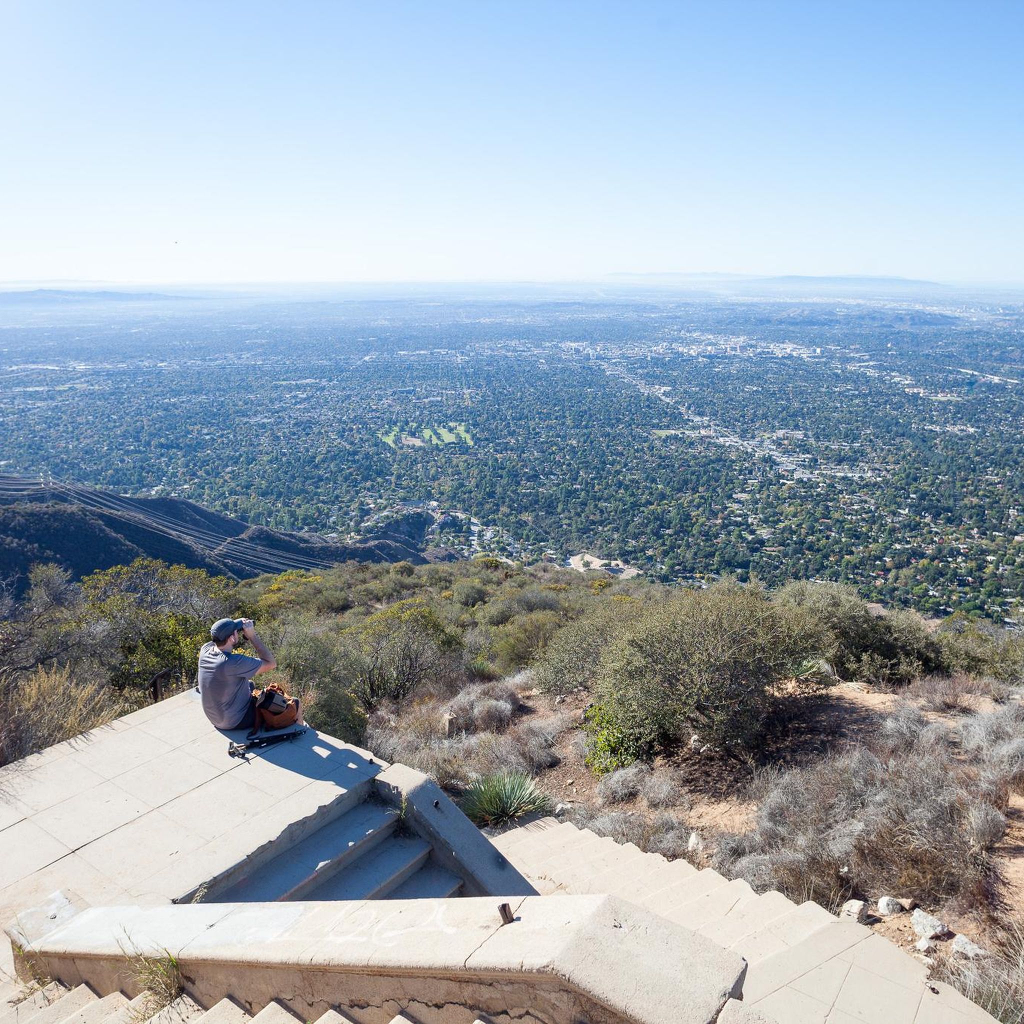
First sweeping overlook along the Angeles Crest road with views of the LA downtown skyline
0
0
Frequently Asked Questions
How many road cycling routes are available in La Cañada Flintridge?
La Cañada Flintridge offers over 100 road cycling routes, catering to a wide range of abilities. You'll find approximately 27 easy routes, 58 moderate routes, and 16 difficult routes to explore.
What kind of terrain and views can I expect on road cycling routes in La Cañada Flintridge?
Road cycling in La Cañada Flintridge is characterized by its location at the foothills of the San Gabriel Mountains, offering diverse topography. Routes often feature well-paved roads winding through varied landscapes, providing access to the Angeles National Forest. You can expect stunning natural backdrops, panoramic views stretching from the mountains to the ocean on clear days, and glimpses of the Crescenta-Cañada Valley and Verdugo Mountains.
Are there challenging road cycling routes with significant elevation gain?
Yes, La Cañada Flintridge is an excellent destination for challenging rides. Routes like the difficult Brookside Park – Red Box Gap loop from Memorial Park offer significant elevation gain, providing a strenuous workout and rewarding views towards the San Gabriel Mountains. The proximity to the Angeles National Forest and Angeles Crest Highway also provides opportunities for ambitious climbs.
Are there easier road cycling options for beginners or less intense rides?
Absolutely. For those seeking a less intense experience, there are moderate to easy loops available. The Brookside Park loop from La Cañada Flintridge is a popular moderate route with well-maintained surfaces. Another easy option is the Brookside Park loop from Pasadena Council District 1, which offers a gentler ride.
What do other cyclists enjoy most about road cycling in La Cañada Flintridge?
The road cycling routes in La Cañada Flintridge are highly rated by the komoot community, with an average score of 4.7 stars from over 200 reviews. Cyclists often praise the varied terrain, the well-paved roads, and the access to the beautiful San Gabriel Mountains and Angeles National Forest, which offer both challenging climbs and scenic, moderate loops.
Are there any notable landmarks or attractions along the road cycling routes?
While cycling, you'll be in proximity to several interesting natural and historical sites. You might encounter viewpoints like Seven Trees Overlook or View from Mount Lukens. For those interested in history, the Mount Lowe Railway Ruins are also nearby. Additionally, the region is home to natural features like Eaton Canyon Waterfall.
What is the best season for road cycling in La Cañada Flintridge?
Southern California generally offers favorable cycling conditions year-round. However, spring and fall often provide the most comfortable temperatures for road cycling in La Cañada Flintridge, with pleasant weather and less extreme heat than summer. Winter can also be enjoyable, though cooler, while summer rides might require an early start to avoid the midday heat.
Are there any circular road cycling routes in La Cañada Flintridge?
Yes, many of the road cycling routes in La Cañada Flintridge are designed as loops, allowing you to start and end at the same point. Examples include the Roadbike loop from La Cañada Flintridge and the Clear Creek Vista loop from La Cañada Flintridge, which offer varied experiences within the region's topography.
Is parking available near the road cycling trailheads?
Given La Cañada Flintridge's popularity for outdoor activities, parking is generally available near common starting points for cycling routes, especially in areas adjacent to parks or trail access points. It's advisable to check specific route details or local signage for the most convenient parking options.
Are there any family-friendly road cycling routes with low traffic?
While many road cycling routes in La Cañada Flintridge utilize public roads, some areas offer more serene experiences. For family-friendly options, consider routes that stick to quieter residential streets or designated bike paths where available. The nearby Los Angeles River Bike Path, though mixed-surface, offers a long, scenic, and generally low-traffic environment suitable for families.
Can I find cafes or places to refuel near the road cycling routes?
La Cañada Flintridge has various amenities within and around the city. You can find cafes and eateries in the main commercial areas that are often accessible from many cycling routes. Planning your route with a stop in mind can help you refuel and relax during your ride.
Most popular routes around La Cañada Flintridge
Most popular attractions around La Cañada Flintridge

Get inspired with the komoot mobile app


Explore more
Browse the best Road cycling routes in other regions.
