The best cycling routes around Loma Linda
4.1
(11)
104
riders
23
rides
Touring cycling around Loma Linda offers diverse terrain, from rolling hills to views of the San Bernardino and San Jacinto Mountains. The region is characterized by its picturesque Inland Empire setting, providing varied landscapes for cyclists. Natural features include the Santa Ana River, offering peaceful routes, and proximity to the San Bernardino National Forest. This geographical blend creates a range of cycling experiences, from gentle slopes to more challenging ascents.
Best touring cycling routes around Loma Linda
- The most popular…
Last updated: October 16, 2026
5.53km
00:31
50m
50m
The Carriage Trail and Cocomaricopa Trail Loop offers a delightful and easy touring cycling experience through the scenic San Timoteo Nature Sanctuary. You'll pedal along the San Timoteo creek bed,…
7.39km
00:50
370m
370m
The Blue Mountain Trail offers a focused touring cycling experience, ideal for those seeking a moderate challenge in a compact package. You'll cover 4.6 miles (7.4 km) and ascend 1221…

4.3
(3)
17
riders
82.2km
04:58
370m
370m
Moderate bike ride. Good fitness required. Mostly paved surfaces. Suitable for all skill levels.
21
riders
14.5km
01:19
290m
290m
Moderate bike ride. Good fitness required. Mostly paved surfaces. Suitable for all skill levels.
3.7
(3)
18
riders
33.2km
02:01
130m
130m
Moderate bike ride. Good fitness required. Mostly paved surfaces. Suitable for all skill levels.
Get access to more routes and recommendations from other explorers.
Already have an account?
Our route recommendations are based on thousands of hikes, rides, and runs completed by other people on komoot.
Start today with a free account
Your next adventure awaits.

Tips from the Community

Large golf course on both sides of van Buren Blvd, with trails and reasonable rates.
1
0

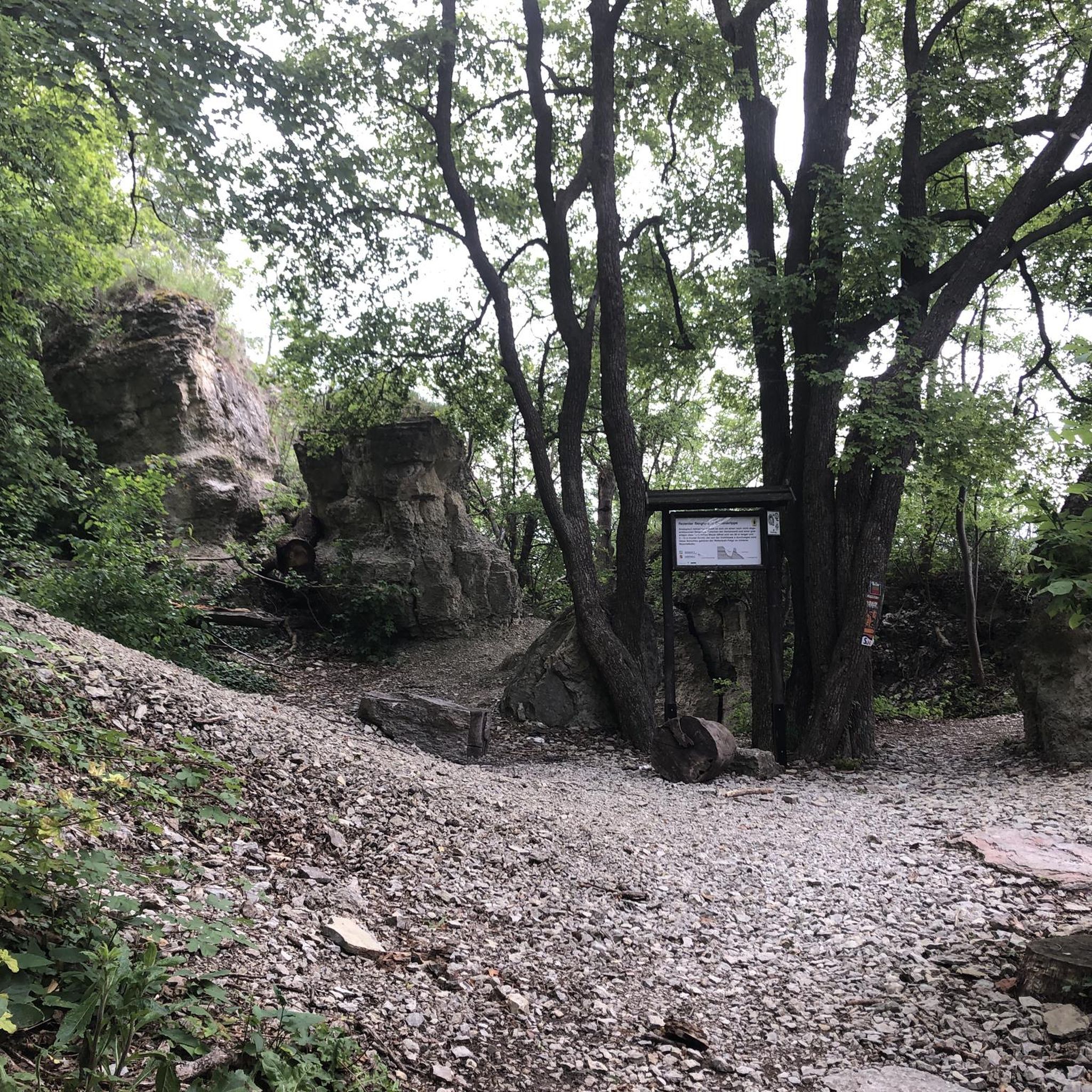
At Hidden Valley Viewpoint, you'll find a shaded tree, an observation area, and useful maps. The trail to the viewpoint is unpaved, so you might need to hop off your bike and push it. Please proceed with caution. It's a great place to take a break in the shade.
1
0
This is a quiet and scenic stretch of the Santa Ana River Trail. The northern section closely follows the natural channel as it flows from the mountains. The trail runs alongside the river and offers a peaceful atmosphere with nice views of the surrounding area.
1
0

This bridge takes you over the Santa Ana River. The Santa Ana river is the largest river to be entirely within southern California. Depending on the time of year, you might find the river to full and flowing, or you may come across and dried up river-bed.
0
0

This viewpoint in the Hidden Valley Wildlife Area can be reached via the Santa Ana River Trail or the Chaparral Trail. It offers a great view over the area and if you're interested, you can find some information boards with useful facts about the area.
0
0

The Hidden Valley Viewpoint offers a shade tree, overlook area, and informational maps. The overlook has a small pull-off area just off the side of the road and is pointed directly towards the Santa Ana River valley.
0
1

The Carriage Trail offers a great place to get off the roads and enjoy views of the San Timoteo and the cliffside!
0
0
Grand Terrace climb can be steep in places and having pretty low gearing is recommended. The road is a packed down dirt and a little bit rutted, but the view at the top is very much worth the effort!
0
0
Frequently Asked Questions
How many touring cycling routes are available in Loma Linda?
There are over 15 touring cycling routes around Loma Linda, offering a variety of experiences for different skill levels. You'll find everything from easy loops to more challenging climbs.
What kind of terrain can I expect on touring cycling routes around Loma Linda?
The terrain around Loma Linda is quite varied, characterized by rolling hills and scenic views of the San Bernardino and San Jacinto Mountains. You'll encounter gentle slopes, some more challenging ascents, and peaceful routes along the Santa Ana River. The region's diverse landscape provides a range of cycling experiences.
Are there any easy touring cycling routes suitable for beginners or families?
Yes, Loma Linda offers several easy touring cycling routes. For a peaceful natural escape, consider the Carriage Trail and Cocomaricopa Trail Loop, an easy 3.4-mile path through the San Timoteo Nature Sanctuary. Another easy option is the UC-Riverside to World's Largest Paper Cup route, which is 6.3 miles long and leads through urban and suburban landscapes.
Are there any challenging touring cycling routes for experienced cyclists?
For those seeking a more challenging ride, the Loma Linda area has options with greater elevation changes. The Lake Evans Loop is a moderate 31.8-mile route with varied terrain and scenic views. Additionally, the Blue Mountain Trail, though shorter at 4.6 miles, features significant elevation gain, making it a good choice for a more strenuous outing.
Can I find circular touring cycling routes in the Loma Linda area?
Yes, many touring cycling routes in Loma Linda are designed as loops. Examples include the Lake Evans Loop and the Carriage Trail and Cocomaricopa Trail Loop. These circular routes allow you to start and end at the same point, offering convenience and diverse scenery without retracing your steps.
What scenic viewpoints or natural features can I see along the routes?
Loma Linda, meaning 'Beautiful Hill,' lives up to its name with many scenic spots. You can enjoy stunning views of the San Bernardino and San Jacinto Mountains. The Santa Ana River Trail offers peaceful views of the surrounding area. For panoramic vistas, consider visiting Panorama Point, which provides spectacular views of the Southern California mountains and the town of Redlands.
Are there any specific landmarks or attractions worth visiting near the cycling routes?
Absolutely! Beyond the natural beauty, you can explore several interesting spots. Caroline Park, situated in the hills near Redlands, offers hiking trails and native wildflowers. For a unique landmark, the UC-Riverside to World's Largest Paper Cup route leads to an unusual attraction. Additionally, Box Springs Mountain Peak offers trails and scenic vistas overlooking Riverside and Moreno Valley.
What is the best time of year to go touring cycling in Loma Linda?
Loma Linda's climate generally allows for year-round cycling. However, spring and fall often offer the most pleasant temperatures for touring cycling, with comfortable weather and blooming wildflowers. Summers can be hot, so early morning or late afternoon rides are recommended during those months. Winters are mild, making it a good option for escaping colder climates.
Where can I find parking for touring cycling routes in Loma Linda?
Many parks and trailheads in and around Loma Linda offer designated parking areas. For routes like the Carriage Trail and Cocomaricopa Trail Loop, you can typically find parking near the San Timoteo Nature Sanctuary. Hulda Crooks Park, a major hub for cyclists, also provides ample parking for trail access. It's always a good idea to check specific route details for the most convenient parking options.
Are there options for public transport to reach the cycling trails?
While Loma Linda is a car-centric area, some public transport options exist. Omnitrans provides bus services throughout the Inland Empire, and some routes may have stops near trail access points. However, direct public transport access to all trailheads might be limited, so planning your route in advance and checking local bus schedules is recommended.
What do other touring cyclists say about the routes in Loma Linda?
The touring cycling routes in Loma Linda are highly rated by the komoot community, with an average score of 3.9 stars from over 8 reviews. Cyclists often praise the varied terrain, the scenic views of the mountains and river, and the accessibility of routes for different skill levels. Many appreciate the peaceful natural escapes offered by trails like those in the San Timoteo Nature Sanctuary.
Are there any less crowded touring cycling routes in Loma Linda?
To find less crowded routes, consider exploring trails during off-peak hours, such as weekday mornings. Routes through natural sanctuaries like the Carriage Trail and Cocomaricopa Trail Loop often provide a more serene experience compared to more urban paths. The vastness of the San Bernardino National Forest nearby also offers opportunities for quieter rides.
Can I find cafes or places to eat near the cycling routes?
Loma Linda and its surrounding areas, including Redlands, offer various dining options. While not directly on every trail, you'll find cafes, restaurants, and grocery stores within a short distance of many cycling routes, especially those that pass through or near urban and suburban areas. The community's emphasis on health means there are often fresh and healthy food choices available.
Most popular attractions around Loma Linda

Get inspired with the komoot mobile app


Explore more
Browse the best Cycling routes in other regions.
