The best MTB trails around Loma Linda
4.2
(6)
47
riders
4
rides
Mountain biking around Loma Linda offers diverse terrain within Southern California, characterized by access to mountainous areas, canyons, and green spaces. The region provides a mix of trails, from easy loops to more challenging routes with elevation changes. Its location allows for exploration of varied natural settings, including parks and reserves.
Best mountain bike trails around Loma Linda
- The most popular mountain bike trail is Rattlesnake Peak Loop, a 3.9 miles (6.2 km) trail that takes 41 minutes to…
Last updated: October 19, 2026
6.24km
00:41
180m
180m
Easy mountain bike ride. Great for any fitness level. Suitable for all skill levels.
4.2
(6)
42
riders
11.8km
01:09
280m
280m
Easy mountain bike ride. Great for any fitness level. Suitable for all skill levels.

2
riders
42.8km
03:08
680m
680m
Moderate mountain bike ride. Good fitness required. Suitable for all skill levels.
1
riders
38.0km
02:58
730m
730m
Moderate mountain bike ride. Good fitness required. Suitable for all skill levels.
2
riders
22.3km
01:34
260m
260m
Easy mountain bike ride. Great for any fitness level. Suitable for all skill levels.
Our route recommendations are based on thousands of hikes, rides, and runs completed by other people on komoot.
Start today with a free account
Your next adventure awaits.
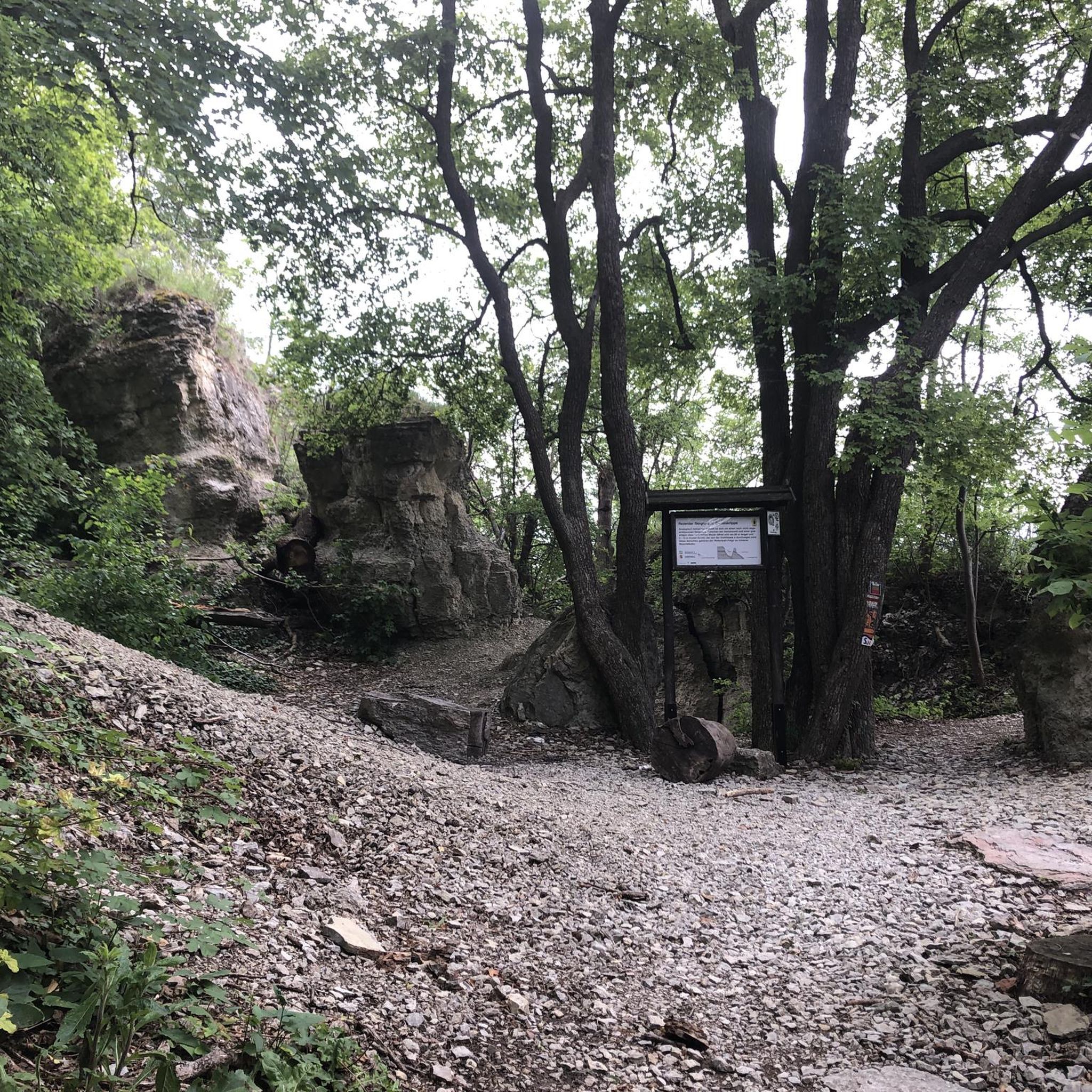


Tips from the Community

Nice view from the trail onto Moreno Valley. The path is normally quiet, so you should be able to stop and take a minute to enjoy the view before you continue on with your hike.
0
0
Nice view from the trail onto Moreno Valley. The path is normally quiet, so you should be able to stop and take a minute to enjoy the view before you continue on with your ride.
1
0
Rattlesnake Peak is your reward after a hard climb up to the summit. You are treated with great views of the valley and of Riverside.
0
0

This road is one of two access roads into Sycamore Canyon Wilderness Park. Keep your eyes peeled for amazing views and reptiles!
0
0

Panorama Point in Redlands is a truly amazing viewpoint to take in the SoCal mountains and the town of Redlands. This spot is a must-stop if on a ride in the area, especially at sunset; it's a great place to stop and sip some water and admire the views.
0
0
Caroline Park is a tiny hidden gem, nestled in the hills between large, attractive homes in Redlands, California. This scenic park is a local favorite and a great place to check out after work. There are hiking trails, native wildflowers and other plants in the spring, and plenty of wildlife (birds in particular!) viewing opportunities here.
2
0
Rattlesnake Peak, located in Sycamore Canyon Wilderness Park, gets it's name from the presence of rattlesnakes in this desert terrain. Dogs are allowed on trails, but must be leashed.
0
0
The Carriage Trail offers a great place to get off the roads and enjoy views of the San Timoteo and the cliffside!
0
0
Frequently Asked Questions
Are there mountain bike trails suitable for beginners in Loma Linda?
Yes, Loma Linda offers several easy mountain bike trails perfect for beginners. The Rattlesnake Peak Loop is a great option, covering 6.2 km with gentle terrain. Another easy choice is the Lookout loop from Loma Linda, which is 11.8 km and provides scenic overlooks.
What are some longer mountain bike routes in the Loma Linda area?
For longer rides, consider the Caroline Park – Three Hawks Trail loop from Loma Linda, a moderate 42.8 km route that typically takes around 3 hours and 8 minutes to complete. This trail offers varied terrain and is a favorite among local mountain bikers.
Are there any mountain bike trails with good views around Loma Linda?
Many trails in the Loma Linda area offer picturesque views. The Lookout loop from Loma Linda is specifically known for its scenic overlooks. Additionally, trails in Sycamore Canyon Wilderness Park provide views of Moreno Valley and Rattlesnake Peak, and the Box Springs Mountain Reserve offers expansive vistas overlooking Riverside and Moreno Valley.
Can I find circular mountain bike routes near Loma Linda?
Yes, many of the mountain bike trails around Loma Linda are designed as loops. Examples include the Rattlesnake Peak Loop, the Lookout loop from Loma Linda, and the longer Caroline Park – Three Hawks Trail loop from Loma Linda.
What kind of terrain can I expect on mountain bike trails in Loma Linda?
Mountain biking around Loma Linda features diverse terrain, ranging from easy loops to more challenging routes with significant elevation changes. You'll find mountainous terrain, canyons, and green spaces, offering a mix of singletrack, fire roads, and some technical sections, particularly in areas like Hulda Crooks to Reche Canyon.
What attractions or landmarks can I see near the mountain bike trails?
While mountain biking, you can explore several notable attractions. Caroline Park is a scenic spot with trails and wildflowers. You might also encounter the Santa Ana River Crossing. For panoramic views, consider visiting Panorama Point or the Box Springs Mountain Peak.
Are there any challenging mountain bike trails for advanced riders in Loma Linda?
While the komoot guide primarily features easy to moderate routes, the broader Loma Linda area, particularly around Hulda Crooks to Reche Canyon, is known for trails with steep and steady climbs rewarded by downhill sections, appealing to intermediate and advanced riders. Specific trails like 'Roller Coaster (Scott Canyon ALT)' and 'Four Corners Jumpline' are rated for downhill and double black diamond difficulty, respectively, offering features like jumps and gap jumps.
What is the best time of year to go mountain biking in Loma Linda?
Loma Linda's Southern California location generally offers good mountain biking conditions for much of the year. Spring and fall typically provide the most pleasant temperatures. Summers can be hot, so early morning rides are recommended, while winters are mild but can bring occasional rain, making some trails muddy.
What do other mountain bikers say about the trails in Loma Linda?
The mountain bike trails around Loma Linda are highly rated by the komoot community, with an average score of 4.2 stars from over 50 visitors. Riders often praise the diverse terrain, the accessibility of trails for various skill levels, and the scenic views available throughout the region.
Are there options for mountain biking near Redlands–Downtown?
Yes, there are mountain biking options accessible from Redlands–Downtown. The Enter the Carriage Trail loop from Redlands–Downtown is an easy 14.5 km route. For a more moderate and longer ride, consider the Caroline Park – Three Hawks Trail loop from Redlands–Downtown, which spans 38.8 km.
What parks in the Loma Linda area are good for mountain biking?
Several parks in and around Loma Linda offer excellent mountain biking opportunities. Hulda Crooks Park is a popular choice with a mix of trail types. Sycamore Canyon Wilderness Park features an easy mountain biking loop with scenic views. Caroline Park is also a location for various mountain biking routes.
Most popular routes around Loma Linda
Most popular attractions around Loma Linda

Get inspired with the komoot mobile app


Explore more
Browse the best MTB trails in other regions.
