The 19 Most Amazing Peaks around San Rafael
Mountain peaks around San Rafael offer diverse landscapes and hiking experiences. This region, primarily in California, features the Marin Hills and parts of the Northern California Coast Ranges. The area is characterized by protected public lands, including state parks and open space preserves. Visitors can find a range of terrain, from paved bike paths crossing hills to challenging summit trails through forests. The peaks provide scenic viewpoints of the bay and the San Francisco skyline.
Best mountain peaks around San…
Last updated: June 24, 2026
Mount Tamalpais — East Peak
Highlight • Summit
Tip by

Horse Hill Bike Path
Highlight (Segment) • Cycleway
Tip by
Sign up now to discover places like this
Get recommendations on the best single tracks, peaks, & plenty of other exciting outdoor places.
Sign up for free
Cardiac Hill (Dipsea Trail, Mount Tamalpais State Park)
Highlight • Summit
Tip by
Mount Caroline Livermore summit
Highlight • Summit
Tip by
White Hill Summit on Sir Francis Drake Boulevard
Highlight • Summit
Tip by
Sign up for free to discover even more peaks around San Rafael.
Sign up for free
Already have an account?
Start today with a free account
Your next adventure awaits.
Login or Signup
Tips from the Community

One of the best views in the entire Bay Area. No question.
0
0

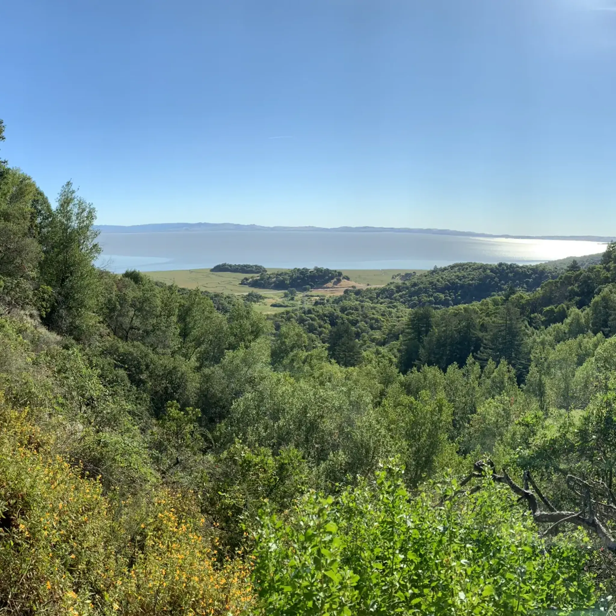
Mount Tam East Peak offers some of the most majestic views north of the bay. From this vantage point, you can see all of Marin, along with Point Reyes to the north and Oakland and San Francisco to the south. The stunning panoramic vistas make the journey well worth the effort. There are restrooms and picnic tables, ideal for a snack or lunch while you capture some incredible photos.
1
0

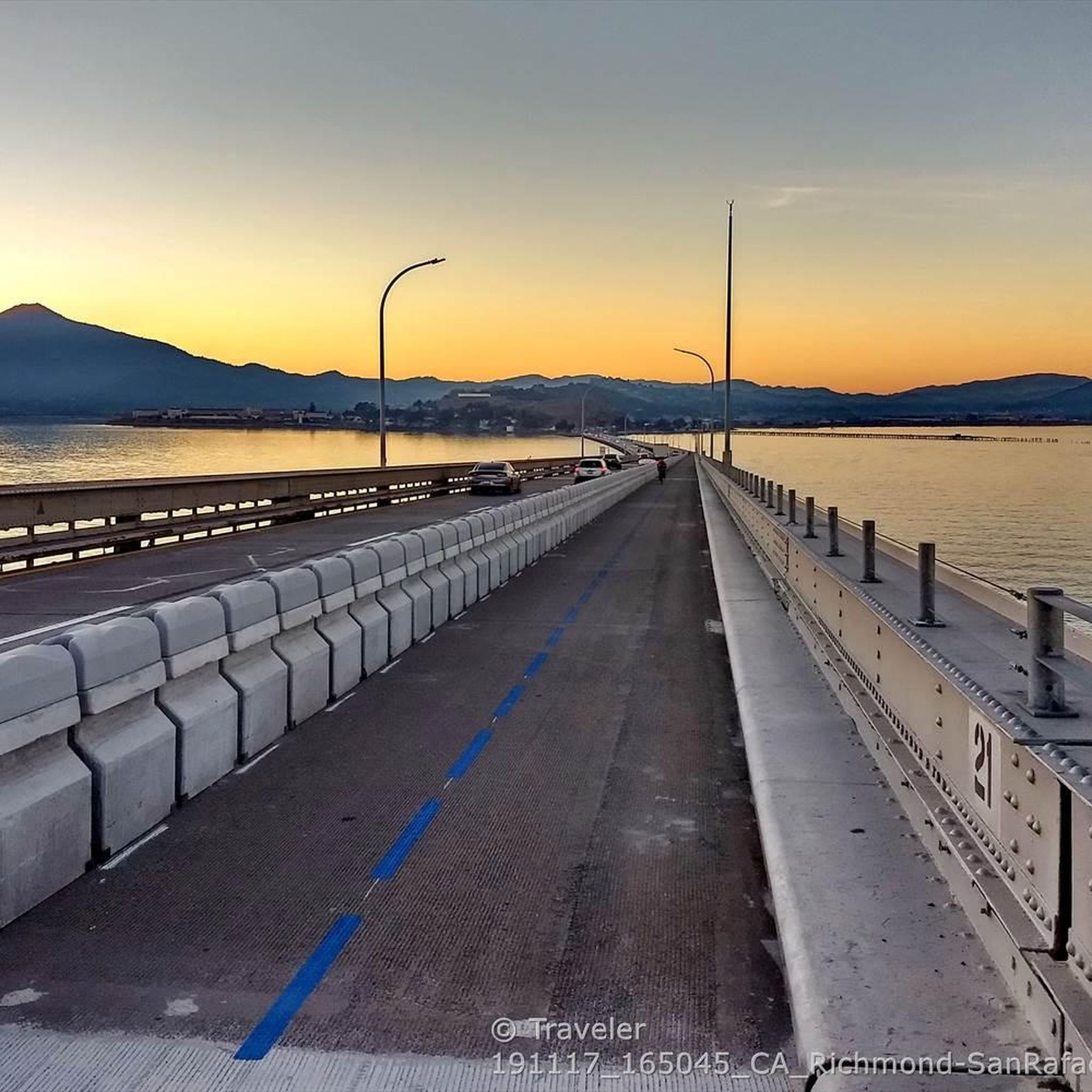
Steep heading West can have traffic on SFD
0
0

Great lookout with a usually closed summit hut at 2571 feet (784 m) elevation. Outstanding views of the Bay, Marin County, San Francisco, and the Pacific Ocean.
0
0

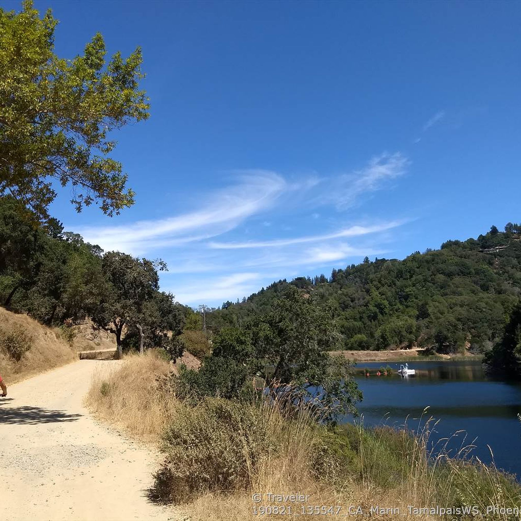
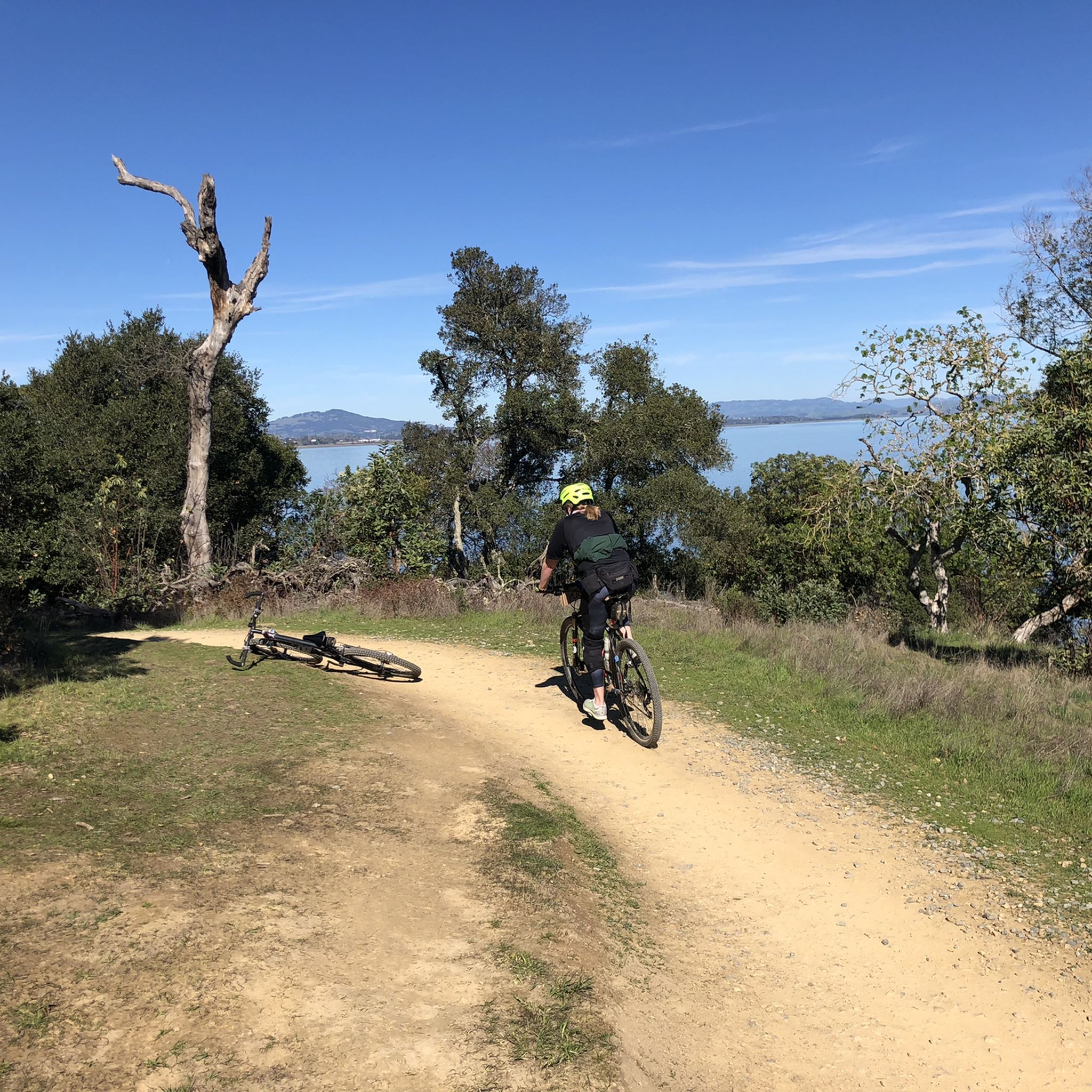
There are, indeed, horses on this hill. Connector path between Mill Valley and Corte Madera, easier than Camino alto. The alto tunnel is still closed, learn more here: https://openaltotunnel.org/
0
0

This trail runs along part of the Dipsea Trail and heads towards Cardiac Hill. The first section is characterised by a wooden stairway, then the path goes into a lush forest.
0
0
Highest peak in Marin County, north of the Golden Gate with fantastic panoramic views in all directions, from the Bay to the Pacific, to the skyline of San Francisco as well as the small towns, bays and coastline along the North Bay.
1
0
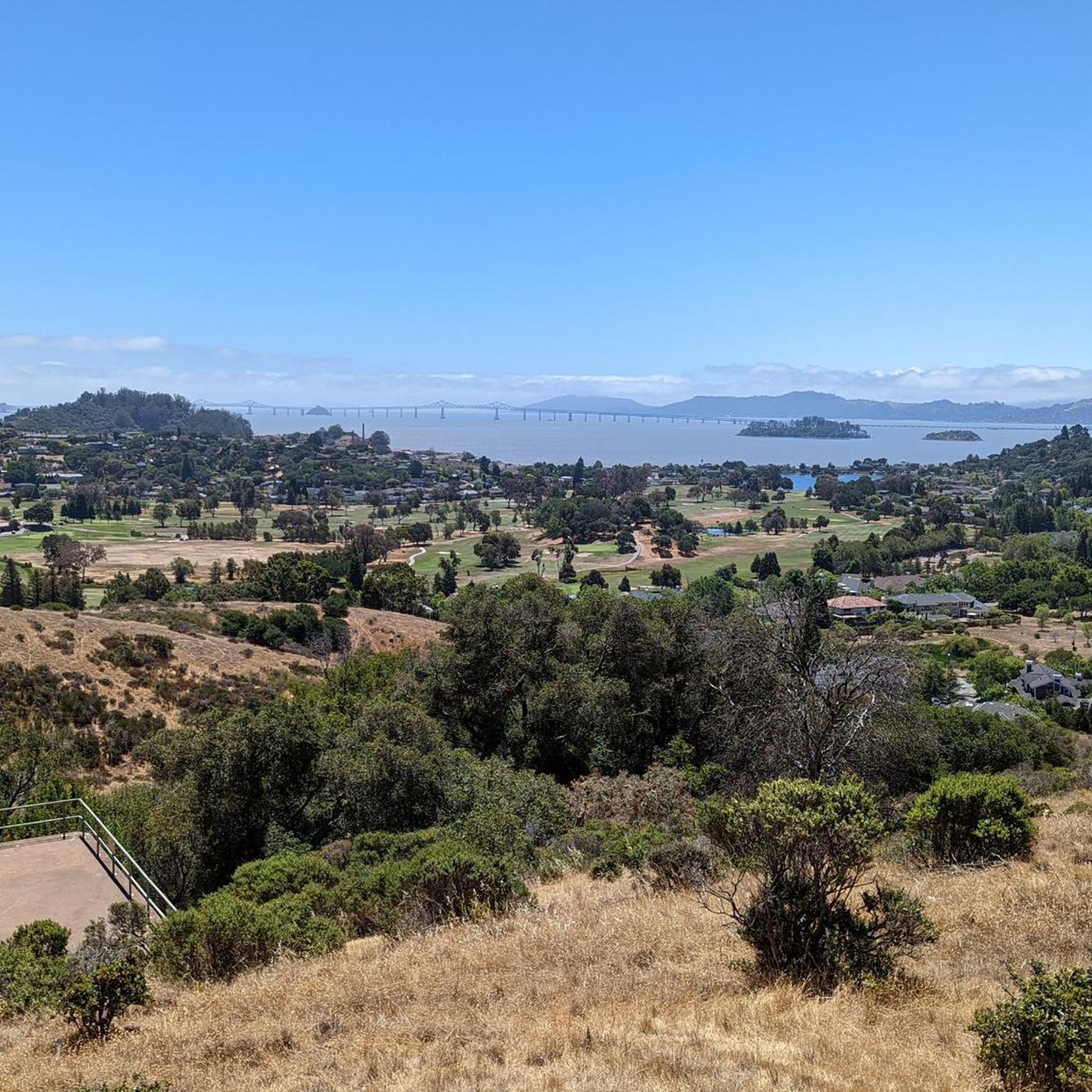
Sweeping bay and San Francisco skyline views reward the hiker up the trail to the 791 feet (241 m) elevation summit of the island. The peak is named for American conservationist Caroline Sealy Livermore (1883-1968), whose work created several protected areas in Marin county, and led to the protection of Angel Island and its declaration as a state park.
3
0
Frequently Asked Questions
What are some of the most scenic mountain peaks and viewpoints around San Rafael?
For sweeping views of the bay and the San Francisco skyline, consider visiting Mount Caroline Livermore summit. Another excellent choice is Mount Tamalpais Summits, the highest peak in the Marin Hills, offering panoramic vistas and clearly visible from San Francisco. Cardiac Hill (Dipsea Trail, Mount Tamalpais State Park) also provides great views amidst a lush forest setting.
Are there family-friendly mountain trails or paths suitable for cycling around San Rafael?
Yes, the area offers options for families. The Horse Hill Bike Path is a paved cycleway that connects Mill Valley and Corte Madera, making it a good choice for a family-friendly ride. While many peaks offer challenging hikes, the diverse terrain includes more accessible paths.
What kind of natural features can I expect to see on the mountain trails near San Rafael?
The mountain trails around San Rafael, particularly within the Los Padres National Forest and San Rafael Wilderness, showcase rugged beauty, diverse flora and fauna, and unique geological formations. You'll find lush forests, sedimentary and metamorphic rock formations, and the headwaters of the Sisquoc River. From higher elevations, you can enjoy expansive views of the San Rafael Wilderness and the Hurricane Deck formation.
What are the highest peaks in the San Rafael Mountains (California)?
The highest peak in the San Rafael Mountains is Big Pine Mountain, reaching 6,820 feet (2,080 meters). Other prominent peaks include San Rafael Mountain (6,593 feet or 2,010 meters) and Madulce Peak (6,539 feet or 1,993 meters). Mount Tamalpais Summits, while not in the San Rafael Mountains, is the highest peak in the Marin Hills at about 2,576 feet (785 meters) at its West Peak.
What outdoor activities can I do near the mountain peaks around San Rafael?
Beyond peak bagging, the region offers a variety of outdoor activities. You can explore numerous hiking trails, with options ranging from easy to difficult. Mountain biking is also popular, with guides like MTB Trails around San Rafael. Road cycling routes are also available, including challenging loops like the Alpine Dam & Mount Tamalpais East Peak loop, as detailed in Road Cycling Routes around San Rafael.
Are there challenging hiking experiences available in the San Rafael mountain areas?
Absolutely. For a challenging experience, consider the remote peaks within the San Rafael Mountains like Big Pine Mountain. The Cardiac Hill section of the Dipsea Trail in Mount Tamalpais State Park is known for its steep ascent. Multi-day backpacking trips are also popular, often including peaks like San Rafael Mountain, McKinley Mountain, and Santa Cruz Peak, collectively known as 'The Big Three'.
What is the best time to visit the mountain peaks around San Rafael?
The best time to visit depends on the specific San Rafael region. For the San Rafael Mountains in California, the remote nature means conditions can vary. In the Mendoza Province of Argentina, summer is typically best for hiking, though it's possible year-round. Always check local weather conditions and trail reports before heading out, especially for higher or more remote peaks.
What are some notable mountain peaks in other San Rafael regions globally?
Beyond California, other San Rafael regions offer distinct peaks. In Mendoza, Argentina, you can explore Cerro Victoria near the Andes. Costa Rica's Heredia Province features Cerro Delicias as its highest peak, along with Cerro Chompipe and Cerro Turú. In the Philippines, Taraw Peak in Palawan offers extreme climbing, while Mt. Secret in Bulacan is a local hiking and camping spot.
Are there any specific trails or routes recommended for hiking near San Rafael?
Yes, there are many hiking opportunities. For moderate hikes, consider routes like Terra Linda Ridge and 680 Trail, or Gold Hill Grade and Bay View Trail Loop. You can find more options and detailed routes in the Hiking around San Rafael guide. The Mission Pine Trail is a popular route to the summit of San Rafael Mountain in California.
What makes the San Rafael mountain areas unique for outdoor enthusiasts?
The San Rafael mountain areas are unique for their vast wilderness, protected public lands, and diverse landscapes. In California, this includes the remote San Rafael Wilderness, parts of the Los Padres National Forest, and Mount Tamalpais State Park, offering everything from challenging backcountry experiences to accessible paved paths. The region's geological diversity and rich flora and fauna also contribute to its appeal.
What is the significance of Mount Tamalpais in the San Rafael area?
Mount Tamalpais Summits is the highest peak in the Marin Hills and a prominent landmark, clearly visible from San Francisco. The majority of the mountain is contained within protected public lands, including Mount Tamalpais State Park and Muir Woods National Monument, offering nearly 40 miles of continuous publicly accessible open space for recreation and conservation.
Can I find information about the history or conservation efforts related to these mountain peaks?
Yes, for instance, Mount Caroline Livermore summit is named after American conservationist Caroline Sealy Livermore, whose efforts led to the protection of Angel Island and its declaration as a state park. The San Rafael Mountains in California are largely within the Los Padres National Forest and the remote San Rafael Wilderness, highlighting significant conservation efforts to preserve these natural areas.
Most popular routes around San Rafael
Most popular attractions around San Rafael

Get inspired with the komoot mobile app


Explore more
See even more amazing summits around San Rafael with these guides:
