The best road cycling routes around San Rafael
4.5
(258)
11,829
riders
32
rides
Road cycling routes around San Rafael offer diverse landscapes, from scenic coastal paths along San Pablo Bay to challenging climbs in the Marin Headlands and Mount Tamalpais. The region is characterized by a mix of flat bay trails, rolling hills, and significant elevation gains, providing varied terrain for road cyclists. Proximity to natural features like China Camp State Park and the Nicasio Reservoir further enhances the cycling experience. This area in Marin County is known for its strong cycling culture…
Last updated: July 8, 2026
4.5
(13)
677
riders
65.4km
03:41
1,330m
1,330m
The Alpine Dam & Mount Tamalpais East Peak loop from Downtown San Rafael is a challenging road cycling route that delivers some of the best scenery in Marin County. You'll…
5.0
(7)
405
riders
80.2km
03:50
980m
980m
Embark on the Nicasio Reservoir loop from Marin Civic Center, a challenging racebike route that spans 49.8 miles (80.2 km). You will conquer a significant elevation gain of 3214 feet…

Sign up for free
4.7
(7)
75
riders
37.5km
01:41
270m
270m
Embark on an easy road cycling adventure along the San Francisco Bay Trail: San Rafael and China Camp Loop, a route that spans 23.3 miles (37.5 km) with a gentle…
25
riders
58.8km
03:24
1,350m
1,350m
Embark on a challenging racebike journey along the South Stinson Beach Overlook via Panoramic Highway, a difficult route spanning 36.5 miles (58.8 km). You will climb a significant 4432 feet…
5.0
(3)
162
riders
79.0km
03:58
880m
880m
Moderate road ride. Good fitness required. Some segments of this route may be unpaved and difficult to ride.
Get access to more routes and recommendations from other explorers.
Sign up for free
Already have an account?
Our route recommendations are based on thousands of hikes, rides, and runs completed by other people on komoot.
Start today with a free account
Your next adventure awaits.
Login or Signup
Tips from the Community

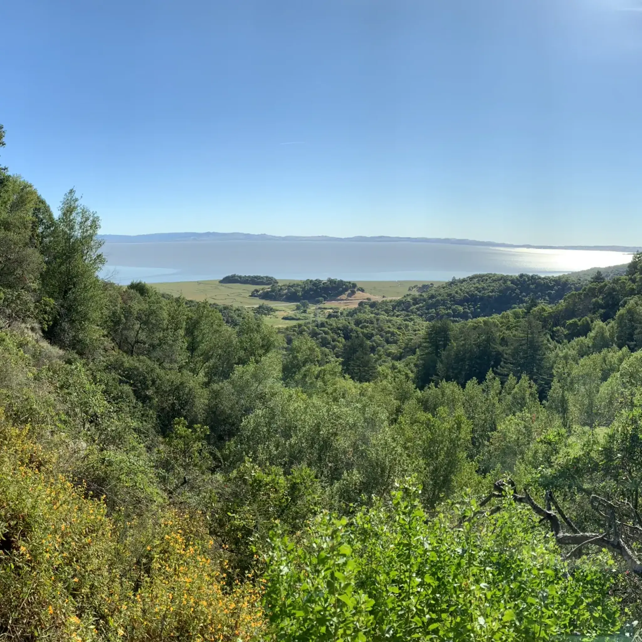
Paved section riding on the ridge between Pan Toll Road and Fairfax-Bolinas Road where it contains as Bolinas Ridge Trail, with spectacular views along the way toward the Pacific Ocean and Stinson Beach far below. The road is open during daylight hours only, in winter that means 9am to sunset.
0
0

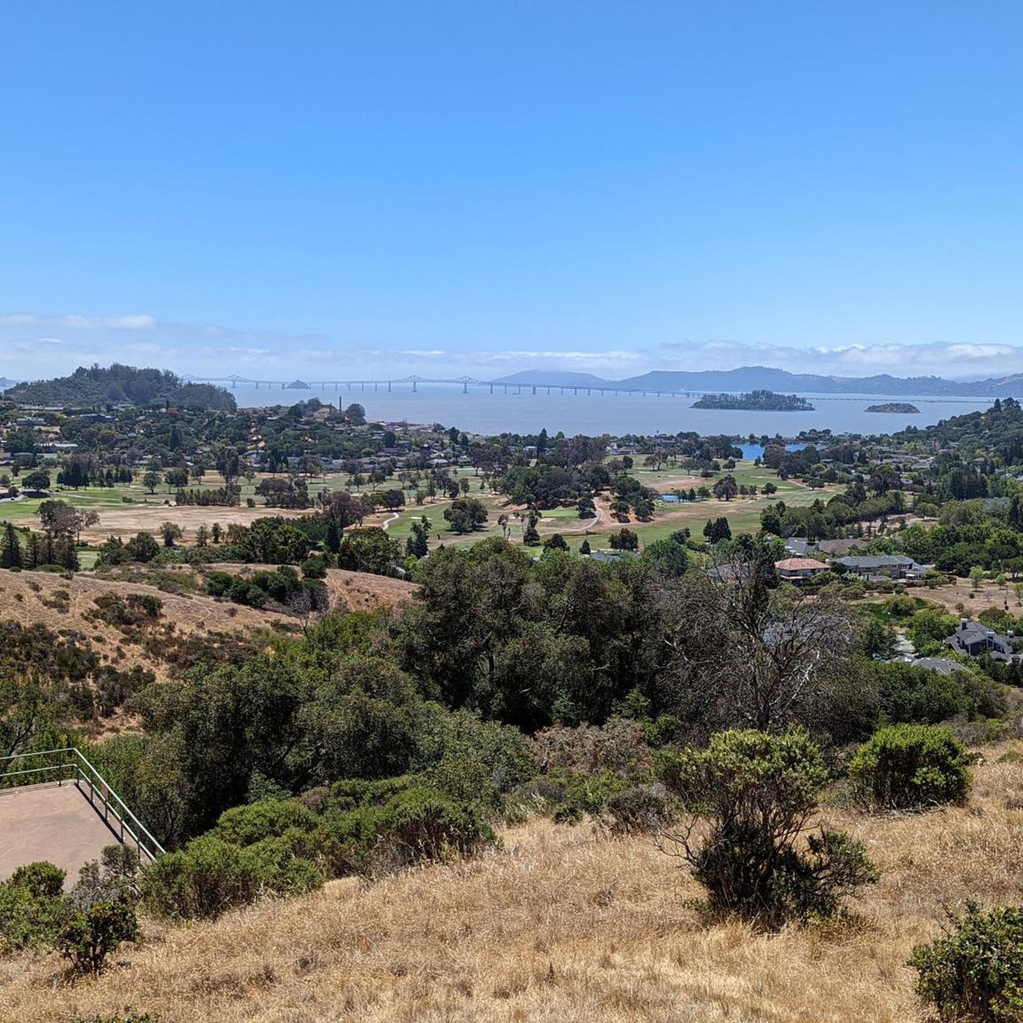
Mount Tam East Peak offers some of the most majestic views north of the bay. From this vantage point, you can see all of Marin, along with Point Reyes to the north and Oakland and San Francisco to the south. The stunning panoramic vistas make the journey well worth the effort. There are restrooms and picnic tables, ideal for a snack or lunch while you capture some incredible photos.
0
0


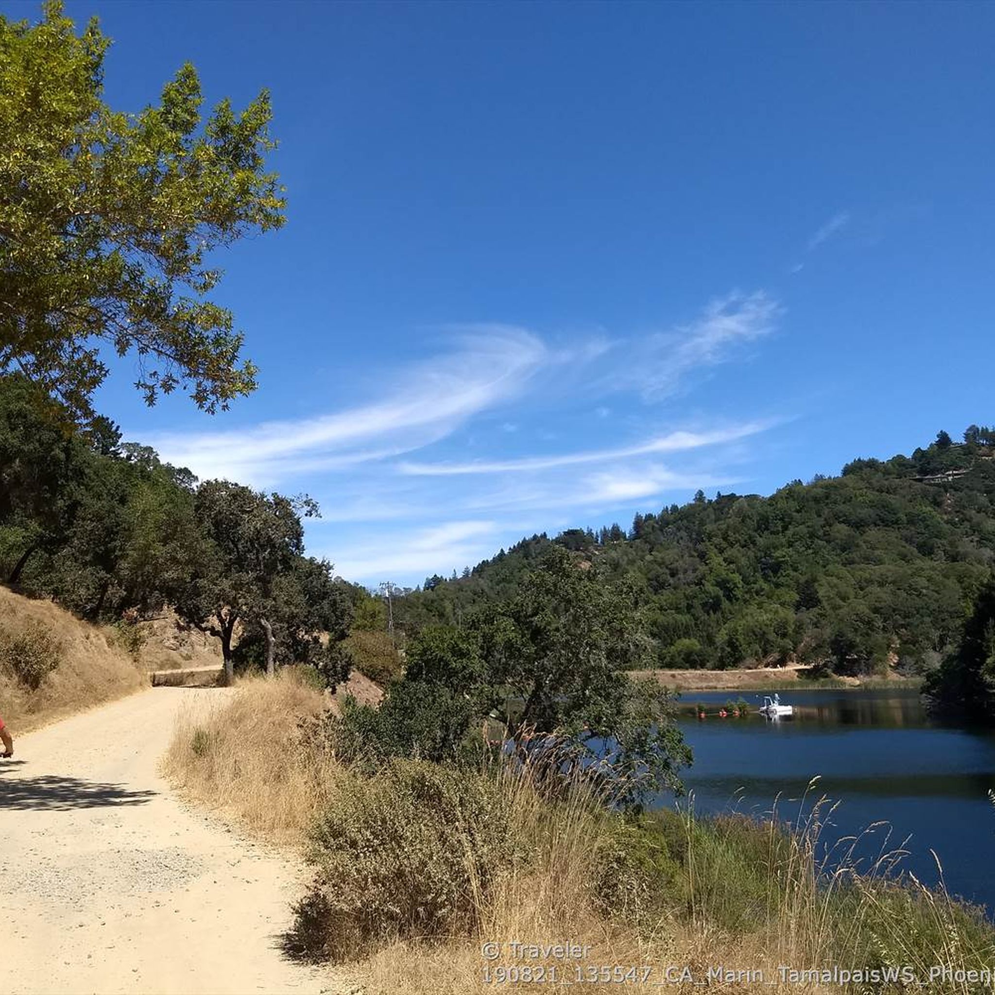
Constructed in 1917 this dam forms Alpine Lake, which sites between Kent and Bon Tempe Lakes. The road across the top of the dam make it a great place to ride on a loop around the lake.
0
0
This lake was formed by the building of Alpine Dam in 1917. It sits between Kent Lake and Bon Tempe Lake, and is popular for a variety of outdoor activities.
0
0


Often busy on weekends, this is a great spot to take moment before/after summiting Mt Tam. There are spigots to fill up water and bathrooms that are open during park hours. The parking lot is very close for those that drive up. There is access to MANY trails for those on foot/bike.
0
0

The Pantoll Campground is a First-come/first-serve site in Mt. Tamalpais State Park. Each site has a barbeque grill, a fire ring, and a picnic table. You need to pay for the site at the Ranger Station as you enter the park.
1
0
Frequently Asked Questions
How many road cycling routes are available around San Rafael?
There are over 25 road cycling routes around San Rafael, offering a diverse range of experiences. These include options for various fitness levels, from easy rides to challenging climbs.
What is the best time of year for road cycling in San Rafael?
The best time to enjoy road cycling in San Rafael is generally during June and July, when the weather is often most favorable for outdoor activities.
Are there road cycling routes suitable for beginners in San Rafael?
Yes, San Rafael offers several easy road cycling routes. For example, the San Francisco Bay Trail: San Rafael and China Camp Loop is an easy 23.3-mile ride with minimal elevation gain, perfect for those new to road cycling or looking for a relaxed ride.
Where can I find challenging road cycling climbs near San Rafael?
For challenging climbs, routes heading towards Mount Tamalpais or through the Marin Headlands are ideal. The Alpine Dam & Mount Tamalpais East Peak loop from Downtown San Rafael is a difficult 40.6-mile route featuring significant ascents and rewarding descents.
What scenic viewpoints or landmarks can I expect to see on road cycling routes around San Rafael?
Road cycling routes in San Rafael offer stunning views of San Pablo Bay, the Pacific Ocean, and the surrounding hills. You might pass by natural features like Muir Woods National Monument Entrance or enjoy panoramic vistas from Mount Tamalpais. The South Stinson Beach Overlook via Panoramic Highway route provides breathtaking coastal scenery.
Are there any loop road cycling routes around San Rafael?
Yes, many routes in the area are designed as loops. A popular option is the Nicasio Reservoir loop from Marin Civic Center, a difficult 49.8-mile path offering expansive views of the reservoir and countryside.
What do other road cyclists appreciate most about cycling in San Rafael?
The road cycling routes around San Rafael are highly rated by the komoot community, with an average score of 4.8 stars from over 40 reviews. Cyclists frequently praise the diverse landscapes, from scenic coastal paths to challenging mountain climbs, and the strong cycling culture in Marin County.
Can I cycle along the coast or bay in San Rafael?
Absolutely. San Rafael offers excellent coastal and bay-side cycling. Routes like the San Francisco Bay Trail: San Rafael and China Camp Loop provide scenic, flatter riding along San Pablo Bay, often passing through China Camp State Park.
Are there routes that pass by reservoirs?
Yes, the region features routes that include reservoirs. The Nicasio Reservoir loop from Marin Civic Center is a prime example, offering expansive views of the reservoir and its surroundings.
What kind of road surfaces can I expect on San Rafael's cycling routes?
Many of the popular road cycling routes in San Rafael, especially those along the Pacific Coast Highway section from Stinson Beach to Muir Beach, are known for their wide, well-paved roads. However, some routes, particularly those with significant elevation changes, may include varied terrain.
Is parking available near road cycling routes in San Rafael?
Parking availability varies by route and starting point. Many popular trailheads and civic centers, such as the Marin Civic Center, offer parking facilities. It's advisable to check specific route details for recommended parking locations.
How accessible are San Rafael's road cycling routes by public transport?
San Rafael has public transport options that can provide access to various parts of Marin County. While direct access to every trailhead might not be available, major hubs like the Marin Civic Center, a common starting point for routes, are generally well-served by public transport.
Most popular routes around San Rafael
Most popular attractions around San Rafael

Get inspired with the komoot mobile app


Explore more
Browse the best Road cycling routes in other regions.
