The best road cycling routes around Prairie Creek
5.0
(3)
205
riders
9
rides
Road cycling routes around Prairie Creek traverse a landscape characterized by rolling hills and varied terrain, offering a mix of open prairie views and wooded sections. The region features a network of paved paths and roads, providing opportunities for both leisurely rides and more challenging excursions. Cyclists can expect routes that navigate through developed areas and natural settings, with some elevation changes.
Best road cycling routes around Prairie Creek
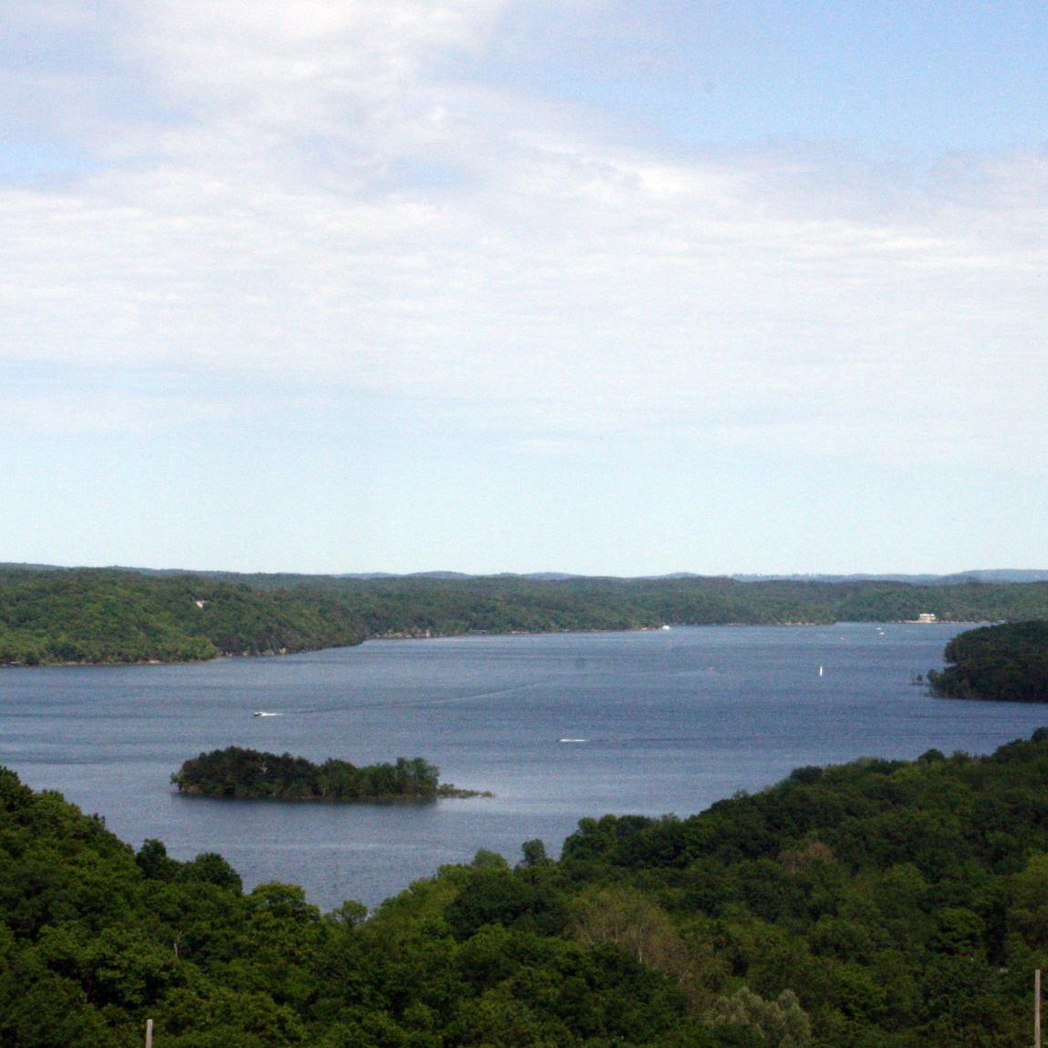
- The most popular road cycling route is View of Beaver Lake…
Last updated: July 16, 2026
5.0
(1)
53
riders
25.0km
01:16
100m
100m
Easy road ride. Great for any fitness level. Mostly well-paved surfaces and easy to ride.
16
riders
28.6km
01:21
100m
100m
Easy road ride. Great for any fitness level. Mostly well-paved surfaces and easy to ride.

Sign up for free
5
riders
135km
06:22
1,550m
1,550m
Hard road ride. Very good fitness required. Mostly well-paved surfaces and easy to ride.
5
riders
17.4km
01:00
80m
80m
Easy road ride. Great for any fitness level. Mostly well-paved surfaces and easy to ride.
6
riders
22.1km
01:05
100m
100m
Easy road ride. Great for any fitness level. Mostly well-paved surfaces and easy to ride.
Get access to more routes and recommendations from other explorers.
Sign up for free
Already have an account?
Our route recommendations are based on thousands of hikes, rides, and runs completed by other people on komoot.
Start today with a free account
Your next adventure awaits.
Login or Signup



Tips from the Community

Great place to people watch and it's all lit up right now for Christmas
0
0

The Bentonville City Square is smack dab in the middle of downtown Bentonville. This park is a true city center with nearby access to trails, parks, retail, restaurants, and museums. The park boasts public restrooms, picnic tables, a playground, parking, water fountains, benches, and electrical plugs.
0
0
The Razorback Regional Greenway spans 40 miles and is a popular multi-use trail. It extends from south Fayetteville to Bella Vista. This fully paved, primarily separated trail links numerous communities and other trails together.
0
0
This museum tells the story of Sam Walton and Walmart's history. Visitors can take a guided or self-guided tour any day from 8 a.m. to 9 p.m. There is a shop that serves ice cream and coffee inside.
0
0
Constructed in 1907 by the Illinois Steel Bridge Company, the War Eagle Creek Bridge is currently listed on the National Register of Historic Places and is accessible for bicycles and pedestrians.
1
0

In Rogers, Northwest Arkansas, explore a vibrant district with boutiques, salons, antique stores, and diverse dining options. For bike lovers, indulge in extended road rides, easy spins, or skill sessions in a bike park—it's all here.
0
0
The world-class Railyard Bike Park caters to all skill levels, featuring jump lines, pump tracks, and easy connections to Lake Atalanta and Pleasant Ridge trails. Enjoy the ride with amenities included.
0
0

Bike themed pub with great wood fired pizzas, and beer.
2
0
Frequently Asked Questions
How many road cycling routes are available around Prairie Creek?
There are 7 road cycling routes documented around Prairie Creek on komoot, offering a variety of experiences for cyclists. These routes are highly rated by the komoot community, with an average score of 5.0 stars.
Are there easy road cycling routes for beginners or families?
Yes, Prairie Creek offers several easy road cycling routes suitable for beginners or families. For instance, the Razorback Regional Greenway – Horsebarn Trailhead Park loop from Searles Prairie is a 12.6-mile trail that leads through developed areas and green spaces, often completed in about 59 minutes. Another easy option is the Razorback Regional Greenway loop from Railyard Loop Guidepost, which covers 26.3 miles.
What kind of terrain can I expect on road cycling routes in Prairie Creek?
Road cycling around Prairie Creek is characterized by rolling hills, greenways, and a mix of open and wooded landscapes. The routes offer options for different ability levels, from easy loops to more challenging long-distance rides with significant elevation changes.
Are there any challenging road cycling routes for experienced riders?
Absolutely. For experienced riders seeking a challenge, the View of Beaver Lake – Downtown Rogers loop from Searles Prairie is a difficult 83.1-mile route featuring significant elevation gain and expansive views, typically taking over 6 hours to complete.
Are there any circular road cycling routes in the area?
Many of the road cycling routes around Prairie Creek are designed as loops. Examples include the Downtown Rogers – Crystal Bridges Trail loop from Rogers, a moderate 29.5-mile path, and the Lake Bella Vista Trail – Green Bike Tower loop from Cambridge Wetland Prairies, which is 54.0 miles long.
What are some notable landmarks or points of interest along the road cycling routes?
While cycling, you might pass by areas like Downtown Rogers, offering a mix of urban and natural scenery. For those interested in history, the Cannons at Pea Ridge National Military Park are also nearby. The region also features trails like the David Swanson Memorial Trail and the Military Park Road.
What do other road cyclists enjoy most about cycling in Prairie Creek?
The area is highly rated by the komoot community, with an average score of 5.0 stars. Cyclists often praise the diverse terrain, which includes rolling hills and greenways, and the mix of open and wooded landscapes that provide varied scenery throughout their rides.
Are there any specific trails or greenways popular for road cycling?
Yes, the Razorback Regional Greenway is a popular feature for road cyclists in the area, offering well-maintained paths. Routes like the Razorback Regional Greenway – Horsebarn Trailhead Park loop from Searles Prairie and the Razorback Regional Greenway loop from Railyard Loop Guidepost utilize this network.
What is the longest road cycling route available?
The longest road cycling route listed is the View of Beaver Lake – Downtown Rogers loop from Searles Prairie, which spans 83.1 miles (133.8 km) and includes significant elevation gain.
Are there routes that combine urban and natural scenery?
Yes, routes such as the Downtown Rogers – Crystal Bridges Trail loop from Rogers offer a pleasant mix of urban environments and natural landscapes, providing a varied cycling experience.
What is the typical elevation gain on road cycling routes in Prairie Creek?
Elevation gain varies significantly depending on the route. Easier routes like the Razorback Regional Greenway – Horsebarn Trailhead Park loop from Searles Prairie have around 78 meters of ascent, while more difficult routes, such as the View of Beaver Lake – Downtown Rogers loop from Searles Prairie, can feature over 1500 meters of elevation gain.
Most popular routes around Prairie Creek
Most popular attractions around Prairie Creek

Get inspired with the komoot mobile app


Explore more
Browse the best Road cycling routes in other regions.
