The best walks and hikes around Stausee Obermaubach
4.6
(33790)
114,042
hikers
54
hikes
Hiking around Stausee Obermaubach, an artificial lake in North Rhine-Westphalia, Germany, offers diverse trails within the wooded Rureifel region. The landscape is characterized by the striking blue expanse of the reservoir, surrounded by rolling hills and lush forests of the Eifel. The Rur River feeds the lake, and the area features varied terrain suitable for outdoor activities.
Best hiking trails around Stausee Obermaubach
- The most popular hiking route is Kickley Rock Formation – Obermaubach Dam loop from Obermaubach, a…
Last updated: October 14, 2026
4.8
(314)
1,024
hikers
13.4km
03:55
360m
360m
Moderate hike. Good fitness required. Mostly accessible paths. Sure-footedness required.
4.7
(69)
271
hikers
11.0km
03:09
260m
260m
Moderate hike. Good fitness required. Mostly accessible paths. Sure-footedness required.

4.8
(906)
2,876
hikers
16.2km
04:39
350m
350m
Moderate hike. Good fitness required. Mostly accessible paths. Sure-footedness required.
4.8
(58)
239
hikers
8.30km
02:13
90m
90m
Moderate hike. Good fitness required. Easily-accessible paths. Suitable for all skill levels.
4.7
(60)
254
hikers
Moderate hike. Good fitness required. Mostly accessible paths. Sure-footedness required.
Get access to more routes and recommendations from other explorers.
Already have an account?
Our route recommendations are based on thousands of hikes, rides, and runs completed by other people on komoot.
Start today with a free account
Your next adventure awaits.
Popular around Stausee Obermaubach
Other adventures around Stausee Obermaubach

Tips from the Community


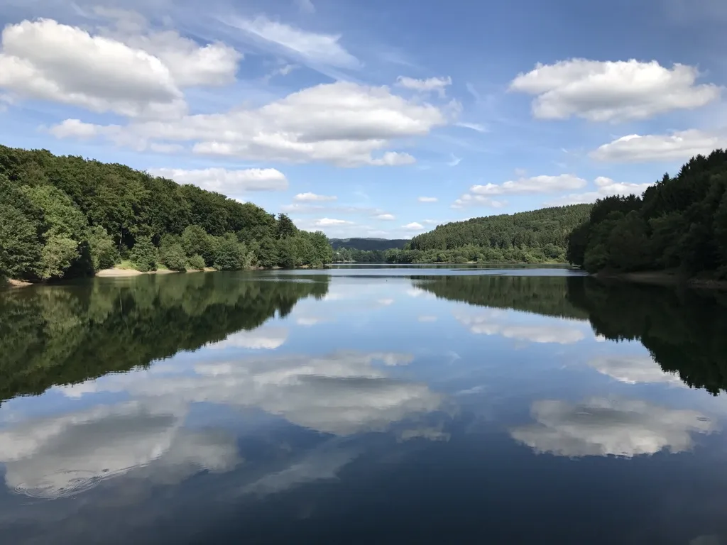
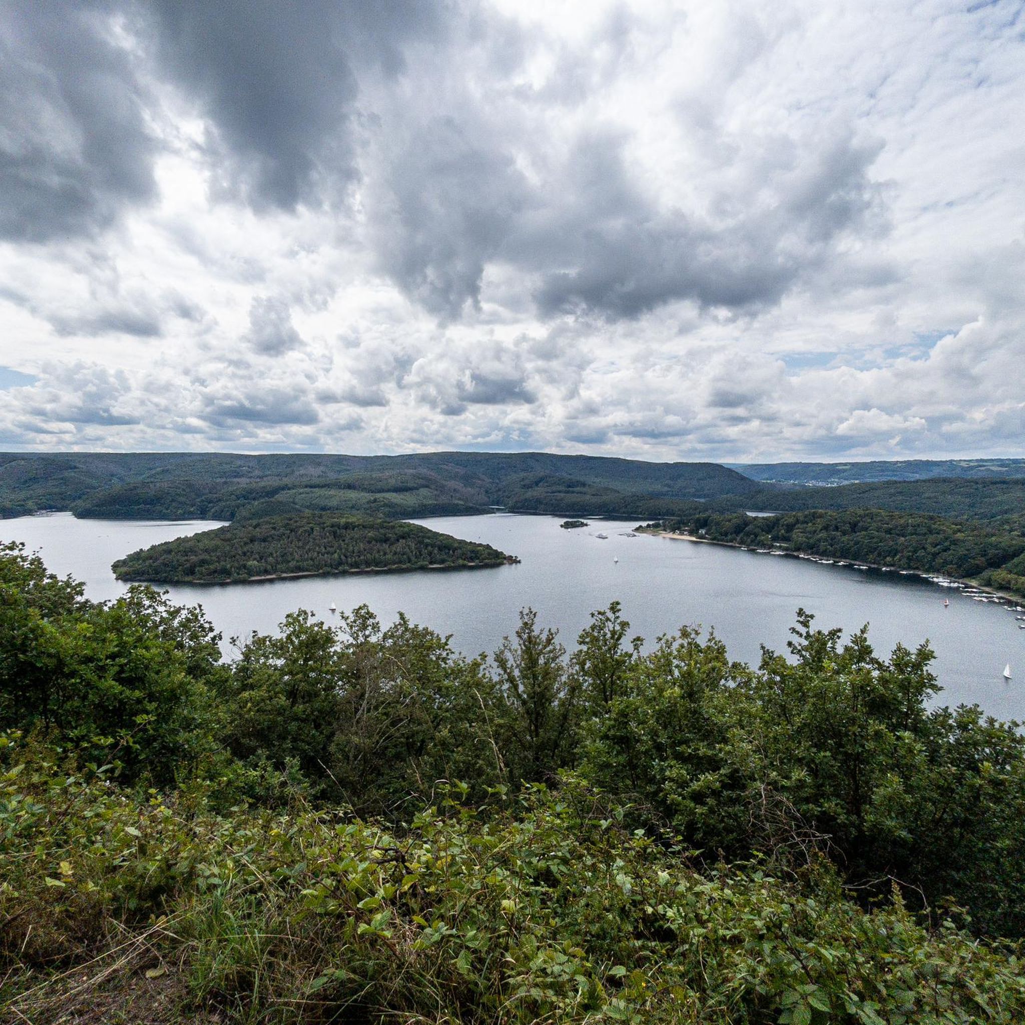
From here you have a fantastic view of the Obermaubach reservoir, surrounded by wooded slopes. The lake was created in the 1930s and holds approximately 1.65 million cubic meters of water. Here you can enjoy absolute peace and quiet.
0
0

A very communicative bank.
1
1

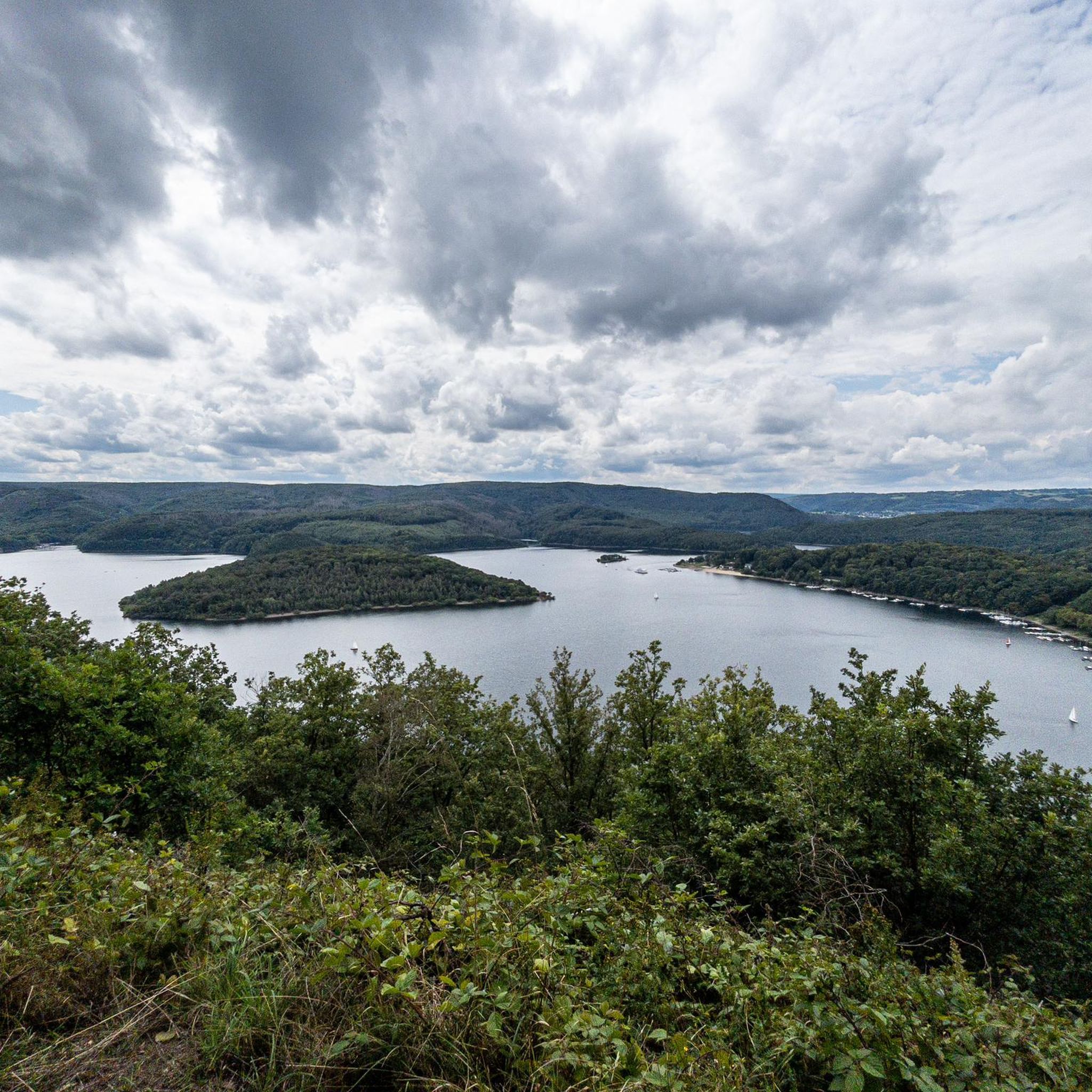
The Rursee viewpoint is one of the most beautiful panoramic views in the Eifel region (North Rhine-Westphalia, Germany). It's a vast reservoir (Rursee or Rurlake) surrounded by forests, slopes, and hiking trails. It's not only a focal point of the Eifel National Park but also offers spectacular views of the water and the surrounding valleys from several locations. The Rursee is a large reservoir of approximately 780 hectares, created by the dam at Schwammenauel on the Rur River. The lake is part of a chain of reservoirs in the Eifel region used for water regulation, energy generation, recreation, and nature experiences. Around the lake, you'll find cycling routes, hiking trails, and viewpoints, offering ever-changing perspectives of the water and the surrounding landscape. 🏞️ Famous viewpoints on Lake Rur 1. Eifel View "Hirschley" (Heimbach) From this elevated spot, approximately 512m above sea level, you have a spectacular panorama of Lake Rur and the steep slopes of its northern shore. The viewpoint is located in the Wilder Kermeter area of the Eifel National Park and is accessible via hiking trails from a parking lot on the Kermeter. 2. Eifel View Kierberg (Simmerath-Woffelsbach) At an altitude of approximately 455m, the viewpoint at Kierberg offers a wide view over Lake Rur, with views towards the Eifel National Park. This viewpoint is located along a country road (L128) between Steckenborn and Woffelsbach and is an excellent place for a short stop during a tour or hike. 3. Eifel View Beautiful View (Nideggen/Simmerath-Einruhr) This viewpoint on the Simonsley slope (approximately 415m) offers a panoramic view of Lake Rursee, clearly showing the wooded core of the Eifel National Park. It is a classic spot for many hikers who walk around the lake, especially beautiful at sunset or in autumn. 4. Eifel View Youth Hostels (Simmerath-Rurberg) Near the youth hostel in Rurberg, there is a viewing point at an altitude of approximately 470m. From here, you can see the lake and the forests of the Eifel National Park in the distance, with panoramic panels for orientation. 5. Eifel-Blick Wolfshügel (Simmerath-Einruhr) This viewpoint above Einruhr overlooks the village of Obersee and the Rur River valleys beyond. It is situated on a small plateau (approximately 360m above sea level) and can be reached via a short, slightly steep hike from the Rur Bridge in Einruhr. Several hiking trails around Lake Rur are specially designed to offer the most beautiful views of the lake. The Rurseeblick route, for example, is a circular walk of approximately 6.5km with several photogenic viewpoints and panoramic stops along the way, ideal for an afternoon stroll with water views. The longer Eifeler Steilküste route also takes you along cliffs and elevated paths with beautiful views of the dam and the lake. Along the way, you'll see not only the water but also the deeply incised valleys and wooded landscape of the Eifel. 🌄 Tips for the best view • Morning and evening light often create the most beautiful interplay of colors across the lake. • Walk along the shores or on the slopes surrounding the lake to gain ever-changing perspectives on the water and vegetation. • In autumn and spring, the views are often clearer because the air is cleaner and the forests have a rich contrast in color.
0
0

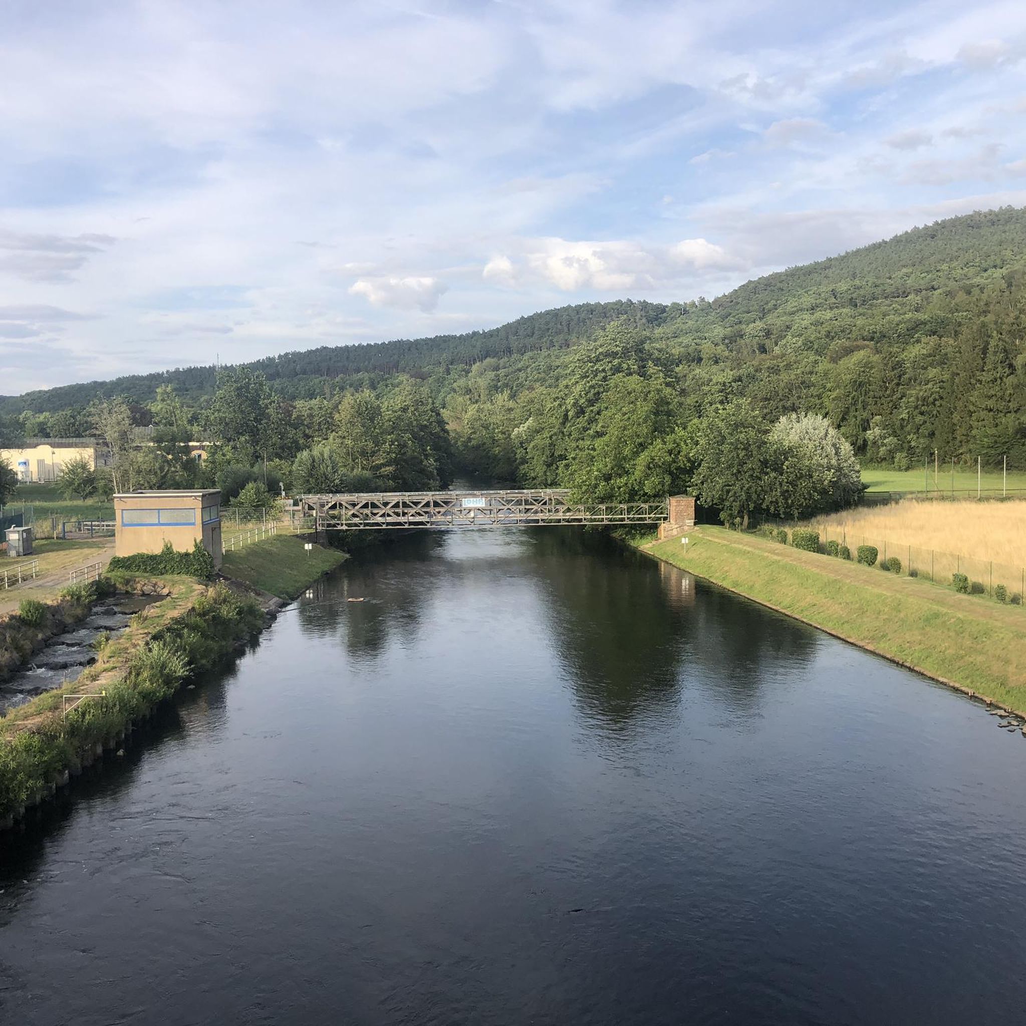
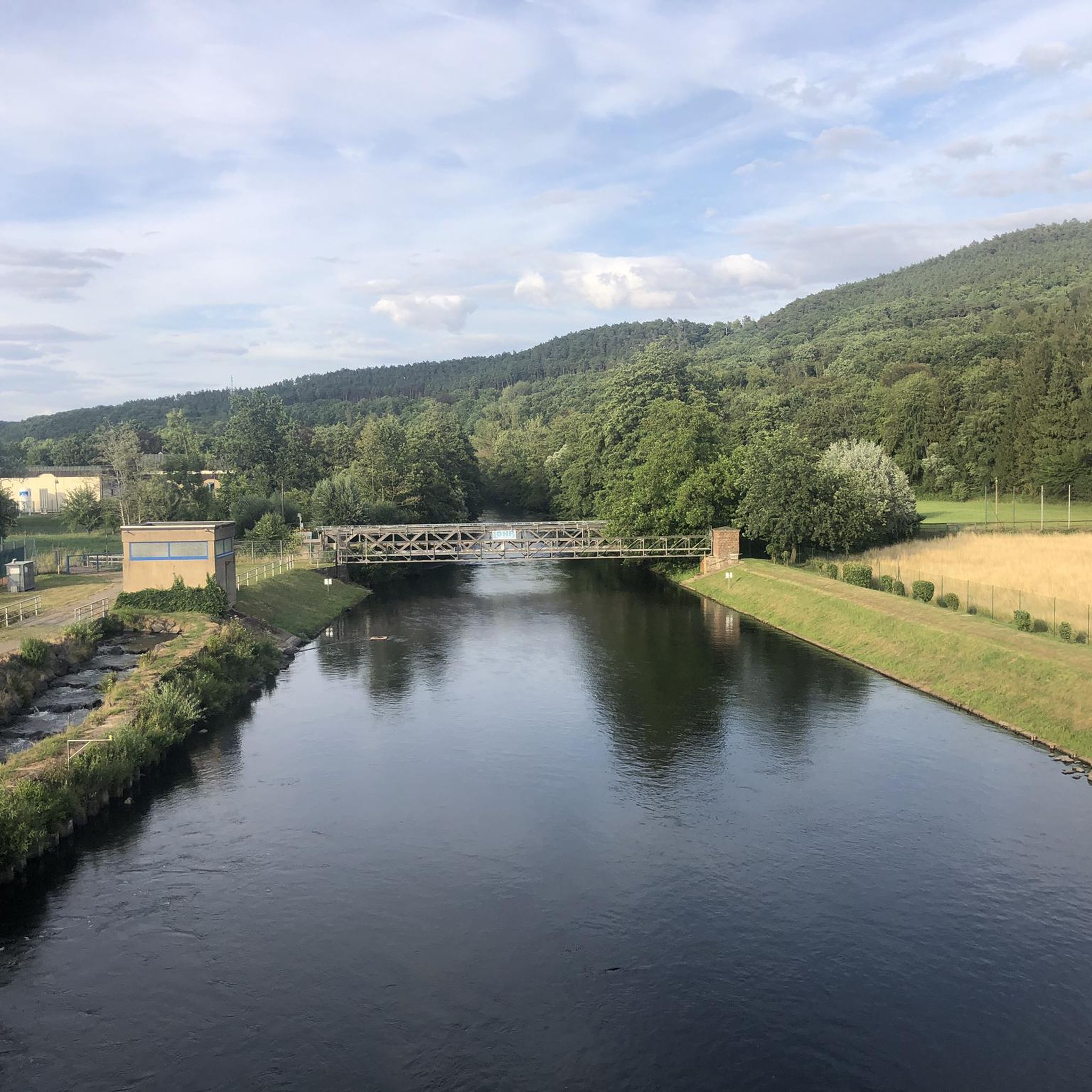
Coming from Obermaubach, after crossing the new arched bridge over the Rur River, one has a view of the Eugenienstein and the Rur towards Nideggen. The Eugenienstein rises to a height of 334 meters above sea level. The rock formation is composed of red sandstone.
0
0

beautiful surroundings and wonderful hiking trails
1
0

These will accompany you on many hiking trails around Nideggen. Worth seeing
0
0

The interesting formations formed by the red sandstone cliffs here are not man-made. Nature was the architect, piling up rocks here over the course of Earth's history and partially smoothing them down again through erosion—a perpetual process.
4
0
Frequently Asked Questions
What kind of terrain can I expect on the hiking trails around Stausee Obermaubach?
The trails around Stausee Obermaubach are characterized by a mix of rolling hills and lush forests, typical of the Rureifel region. You'll find paths winding along the striking blue reservoir and often following the Rur River. Some routes, like the longer Obermaubach Reservoir – Kickley Rock Formation loop, involve significant elevation changes, while others offer more gentle strolls.
Are there any easy hiking routes suitable for beginners or casual walkers?
Yes, Stausee Obermaubach offers a good selection of easy trails. Out of 51 available routes, 18 are classified as easy, making them perfect for beginners or those looking for a relaxed walk. These routes often provide accessible paths around the reservoir and through the tranquil forest.
What are some notable natural features or landmarks to look out for while hiking?
Hikers can discover several unique features. The Obermaubach Fish Pass is a highlight, featuring a glass window where you can observe migratory fish. The Circular Bench by the Lake offers panoramic views, and the Kickley Rock Formation is a prominent natural landmark featured on routes like the Kickley Rock Formation – Obermaubach Dam loop.
Can I bring my dog on the hiking trails around Stausee Obermaubach?
Yes, the Stausee Obermaubach area is generally dog-friendly. Many trails are suitable for walks with your canine companion, allowing you both to enjoy the natural surroundings of the Rureifel. Please ensure your dog is kept on a leash where required and that you clean up after them.
Are there family-friendly hiking options or activities for children?
Absolutely. The area is well-suited for families. Besides easy hiking trails, there's a forest and nature play area (Waldspielplatz Obermaubach) with swings and slides. An educational nature trail also provides information about local flora and fauna, making it an engaging experience for children.
How long does it typically take to hike around Stausee Obermaubach?
The duration varies depending on the specific route. A popular circular path, the 'Stauseerundweg Obermaubach,' is about 7 kilometers and typically takes around two hours for a relaxing walk. Other routes, like the Jewish Cemetery Untermaubach – Obermaubach Reservoir loop, are similar in length and duration.
What is the best time of year to go hiking in Stausee Obermaubach?
Stausee Obermaubach offers beautiful hiking experiences throughout the year. Early summer brings wild fruit trees and yellow gorse bushes, while autumn transforms the landscape with colorful foliage. Spring and autumn are also excellent for wildlife spotting. The tranquil nature of the Eifel region makes it enjoyable in any season.
Are there circular hiking routes available?
Yes, circular routes are a popular feature around Stausee Obermaubach. Many trails are designed as loops, allowing you to start and end at the same point. Examples include the 'Stauseerundweg Obermaubach' and the Mausauel Rur Bridge – Obermaubach Reservoir loop, which offer varied scenery without retracing your steps.
How accessible is Stausee Obermaubach by public transport?
The lake is easily accessible by public transport. The Rurtalbahn train stops directly at Obermaubach, providing convenient access to the reservoir and the starting points of many hiking trails. This makes it a great option for those preferring not to drive.
Is parking available for hikers arriving by car?
Yes, free parking is available for visitors arriving by car. This makes it convenient to access the hiking trails and explore the Stausee Obermaubach area.
What do other hikers enjoy most about the trails around Stausee Obermaubach?
The area is highly rated by the komoot community, with an average score of 4.8 stars from over 1,800 reviews. Hikers often praise the diverse trails, the striking blue waters of the reservoir, and the tranquil, wooded landscapes of the Rureifel. The variety of routes, from easy strolls to more challenging options, is also frequently highlighted.
Are there places to eat or drink near the hiking trails?
Yes, you'll find various rest stops and picnic areas frequently along the banks of the Eifel reservoirs. While specific cafes or pubs aren't detailed, the presence of a village like Obermaubach suggests options for refreshments after your hike.
Most popular routes around Stausee Obermaubach
Most popular attractions around Stausee Obermaubach

Get inspired with the komoot mobile app


Explore more
Browse the best Hikes in other regions.
