The best running trails around Obernautalsperre
4.5
(982)
10,744
runners
345
runs
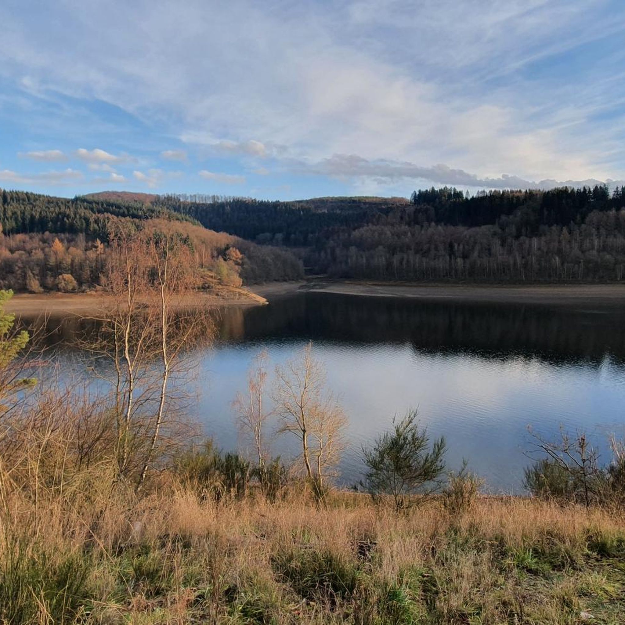
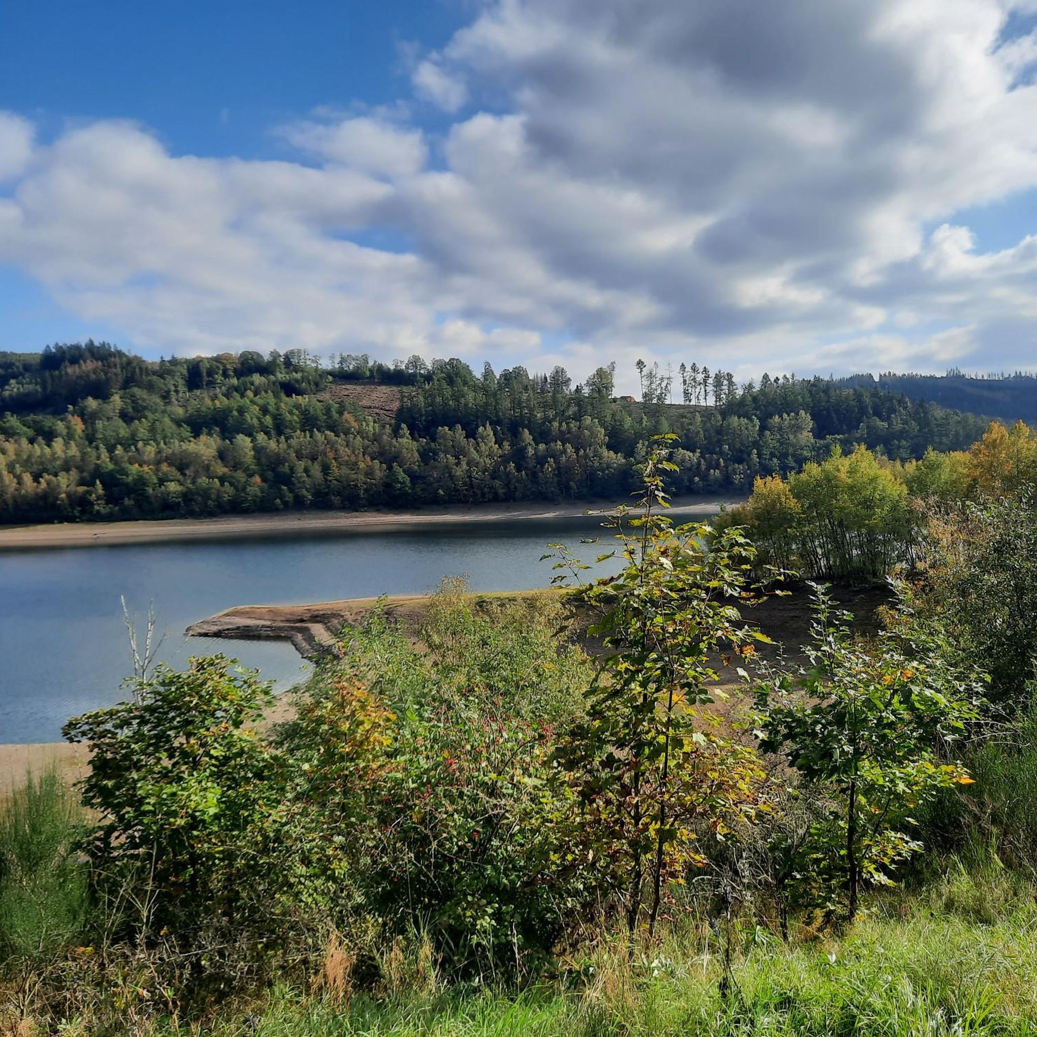
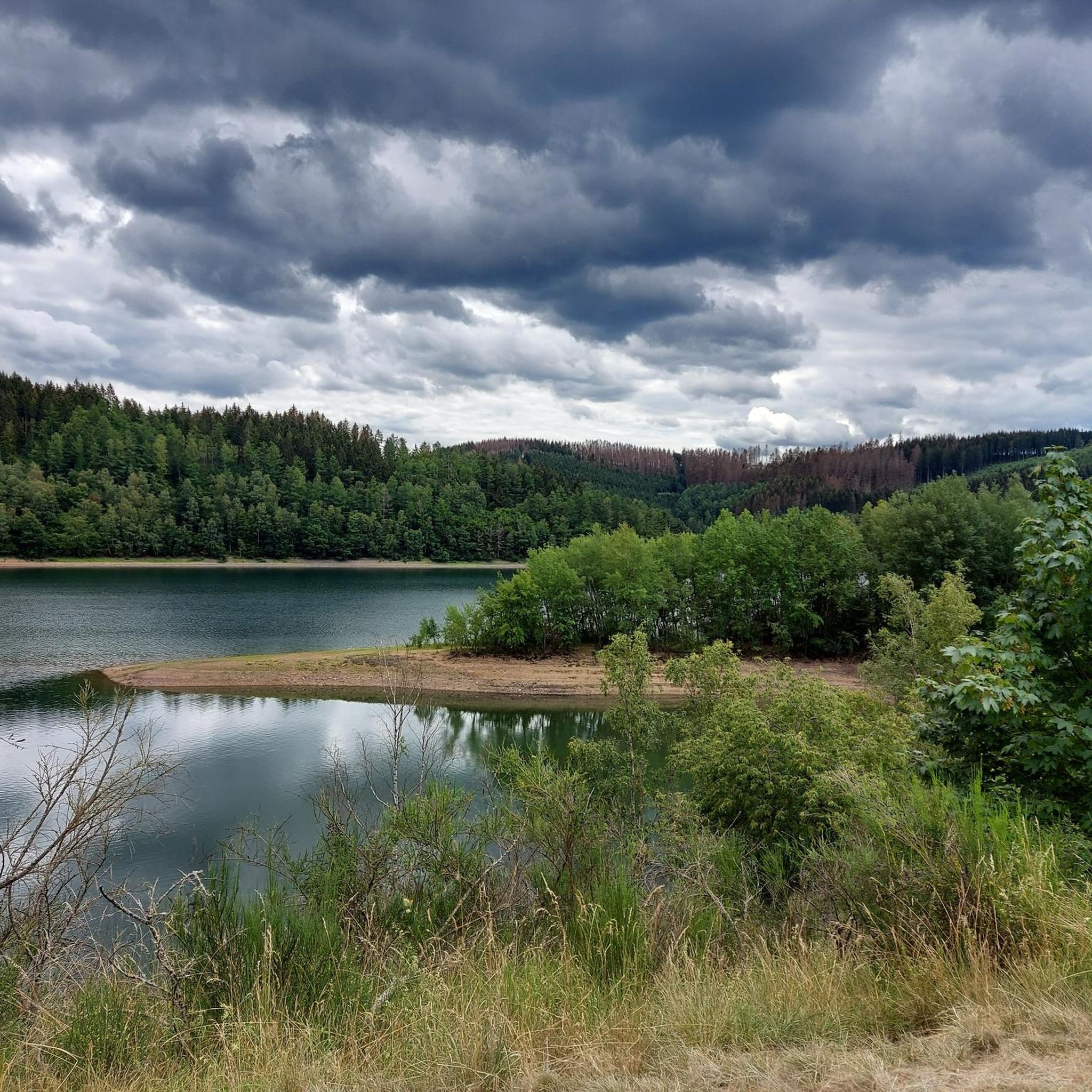
Jogging around Obernautalsperre offers routes through a landscape characterized by the largest drinking water reservoir in Siegerland, surrounded by forests and hills. The terrain primarily features a 10-kilometer asphalted circular path around the reservoir, known for its relatively flat profile with only slight inclines. Beyond the paved path, the area includes surrounding forest trails, providing varied experiences for runners. This region is situated in the southwest of the Rothaargebirge mountains, offering views of the expansive water surface and wooded slopes.
…Last updated: July 5, 2026
4.7
(92)
1,021
runners
Moderate run. Good fitness required. Mostly paved surfaces. Suitable for all skill levels.
5.0
(1)
26
runners
Hard run. Very good fitness required. Mostly paved surfaces. Suitable for all skill levels.

Sign up for free
9
runners
Moderate run. Good fitness required. Mostly paved surfaces. Suitable for all skill levels.
4
runners
Easy run. Great for any fitness level. Mostly paved surfaces. Suitable for all skill levels.
4.0
(1)
66
runners
Hard run. Very good fitness required. Mostly paved surfaces. Suitable for all skill levels.
Get access to more routes and recommendations from other explorers.
Sign up for free
Already have an account?
Our route recommendations are based on thousands of hikes, rides, and runs completed by other people on komoot.
Start today with a free account
Your next adventure awaits.
Login or Signup
Tips from the Community

Super address in Netpherland to pursue one's leisure activities.
0
0
Here the Sieg has already formed into a small river.
0
0
Great crossing of the Sieg near the waterfall.
0
0
Great cycle path between Helgersdorf and Werthenbach, belongs to the Netpher Radring, but has nothing to do with the Malerradweg.
0
0
Nice opportunity to cross the Sieg waterfall near Deuz.
1
0

There it is😅. The Sieg Falls. Not quite as big as Victoria Falls, but still impressive😉.
0
0
Here you can cross the Sieg with dry feet/bike.
1
0

Very beautiful and well-paved path along the dam, closed to cars.
1
0
Frequently Asked Questions
How many running routes are available around Obernautalsperre?
There are over 300 running routes in the Obernautalsperre area, catering to various fitness levels. You'll find options from easy loops to more challenging forest trails.
What kind of terrain can I expect on the jogging trails?
The primary jogging route is an approximately 10-kilometer-long asphalted circular path around the reservoir, known for its relatively flat profile with only slight inclines. Beyond this paved path, you can also explore surrounding forest trails for a more varied experience.
Are there any easy running routes suitable for beginners or a relaxed jog?
Yes, there are over 30 easy running routes. A great option for a relaxed jog is the Landhaus Heinrichshöh – Höhhain loop from Kreis Siegen-Wittgenstein, which is 4.5 km long and features gentle inclines.
Can I bring my dog on the running trails around Obernautalsperre?
The Obernautalsperre is a drinking water reservoir, so specific regulations apply to protect water quality. While the area is generally popular for outdoor activities, it's crucial to check local signage for current rules regarding dogs, especially concerning leash requirements and access to certain areas near the water. Always ensure your dog is on a leash and clean up after them.
What natural features and viewpoints can I see while running?
The Obernautalsperre offers charming views of the expansive water surface and wooded slopes. You'll find various viewpoints along the circular path, such as View of the Obernau Reservoir and Rest Area with View of Obernautalsperre, providing beautiful vistas. The dam (Staumauer) itself also offers excellent panoramic views.
Are there any challenging routes for experienced runners?
Absolutely. For those seeking a more demanding run, there are nearly 60 difficult routes available. A popular choice is the Obernau Dam – Obernau Reservoir loop from Kreis Siegen-Wittgenstein, a challenging 16 km path that explores varied forest paths and the reservoir's surroundings.
Is there parking available at Obernautalsperre?
Yes, there is a main parking area available for visitors. Near this parking area, you'll also find a public toilet for convenience.
What do other runners enjoy most about the trails here?
The running routes around Obernautalsperre are highly rated by the komoot community, with an average score of 4.5 stars from over 960 reviews. Runners often praise the well-maintained paths, the picturesque views of the reservoir, and the variety of terrain from flat asphalt to forest trails.
Are there any places to get refreshments after a run?
While there isn't a direct café at the reservoir, the "Landhaus Heinrichshöhe" near the forest chapel offers a nearby refreshment option. You can find routes that pass close to it, such as the Landhaus Heinrichshöh – Höhhain loop.
Are the running paths suitable for families with children?
The approximately 10-kilometer-long asphalted circular path around the reservoir is relatively flat with only slight inclines, making it accessible for various activities, including jogging with children or even with strollers. The well-maintained surface ensures a smooth experience for families.
What is the best time of year to go running at Obernautalsperre?
The Obernautalsperre is beautiful year-round. Spring and autumn offer pleasant temperatures and vibrant scenery, while summer provides longer daylight hours. Even in winter, the paved paths can be suitable, though conditions may vary. Weekdays are generally less crowded than weekends.
Are there any routes that include a waterfall?
Yes, you can explore routes that lead to nearby natural attractions. For example, the Sieg Waterfall loop from Kreis Siegen-Wittgenstein is a moderate 6.2 km route that allows you to combine your run with a visit to this natural landmark.
Most popular routes around Obernautalsperre
Most popular attractions around Obernautalsperre

Get inspired with the komoot mobile app


Explore more
Browse the best Running Trails & Routes in other regions.
