The best walks and hikes around Obernautalsperre
4.6
(10803)
37,554
hikers
1,081
hikes
Hiking around Obernautalsperre is defined by its large reservoir, surrounded by dense woodlands and rolling hills within the Siegerland region. The area offers a network of well-maintained paths that follow the reservoir's shoreline and ascend into the forested slopes. This landscape provides varied terrain for hikers, from flat lakeside strolls to more undulating trails through the woods.
Best hiking trails around Obernautalsperre
- The most popular hiking route is View of the Obernau Dam – View of the Obernau Reservoir loop…
Last updated: October 8, 2026
4.8
(610)
2,032
hikers
Moderate hike. Good fitness required. Easily-accessible paths. Suitable for all skill levels.
4.8
(70)
196
hikers
Easy hike. Great for any fitness level. Easily-accessible paths. Suitable for all skill levels.

4.7
(19)
69
hikers
Moderate hike. Good fitness required. Easily-accessible paths. Suitable for all skill levels.
4.6
(27)
143
hikers
Easy hike. Great for any fitness level. Easily-accessible paths. Suitable for all skill levels.
4.8
(33)
177
hikers
Easy hike. Great for any fitness level. Easily-accessible paths. Suitable for all skill levels.
Get access to more routes and recommendations from other explorers.
Already have an account?
Our route recommendations are based on thousands of hikes, rides, and runs completed by other people on komoot.
Start today with a free account
Your next adventure awaits.
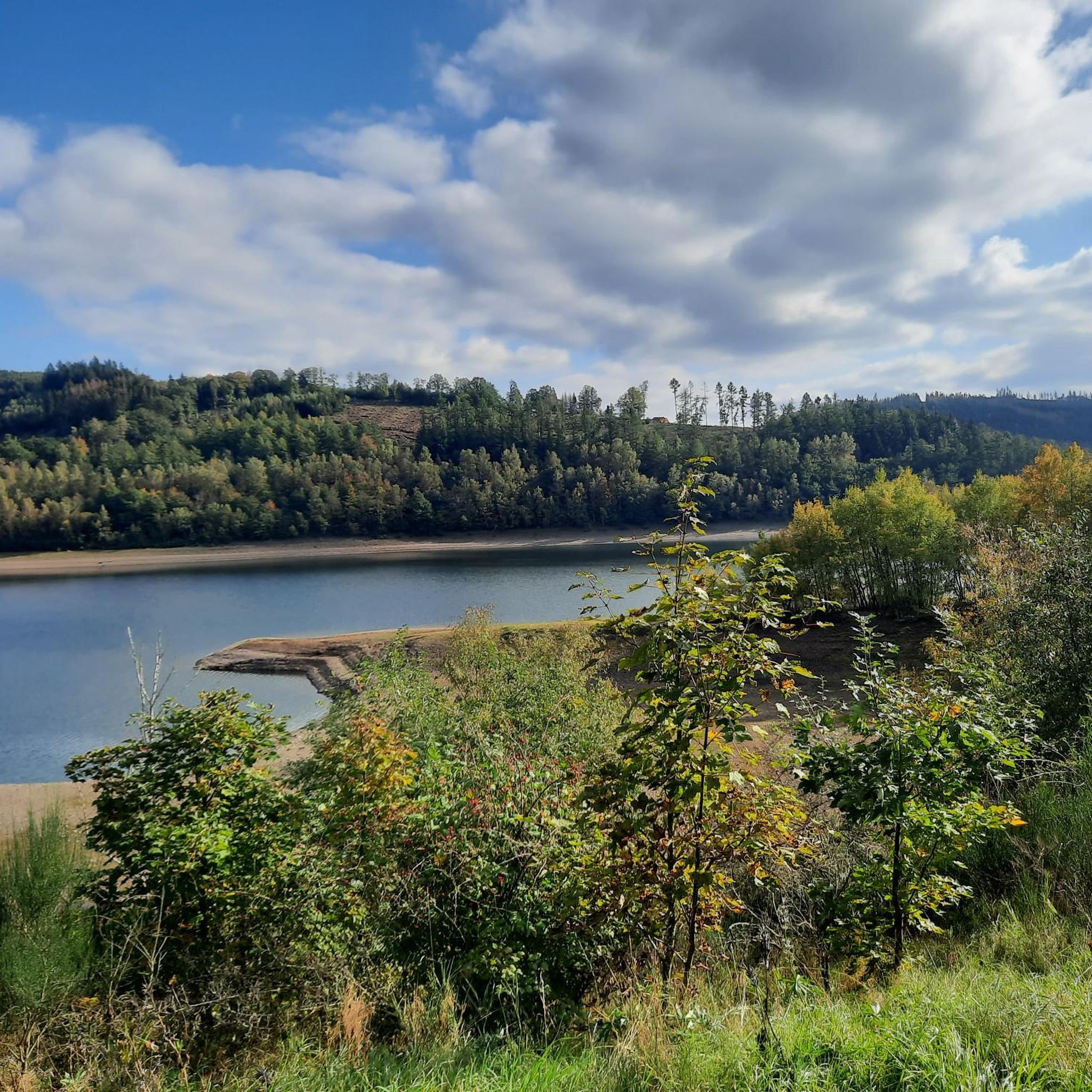
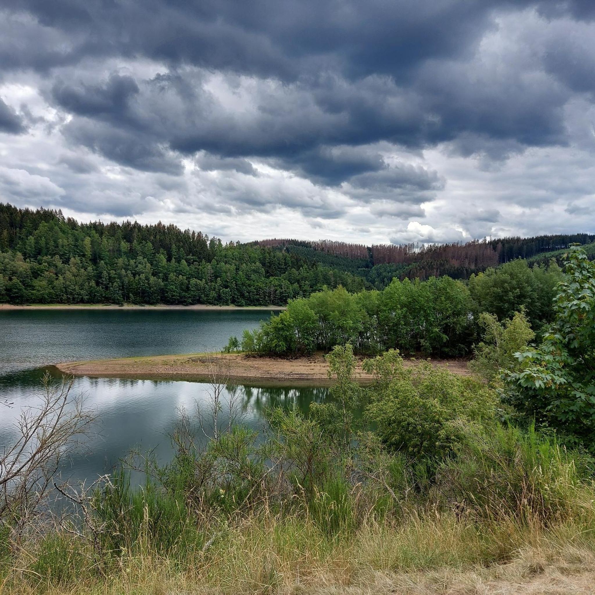
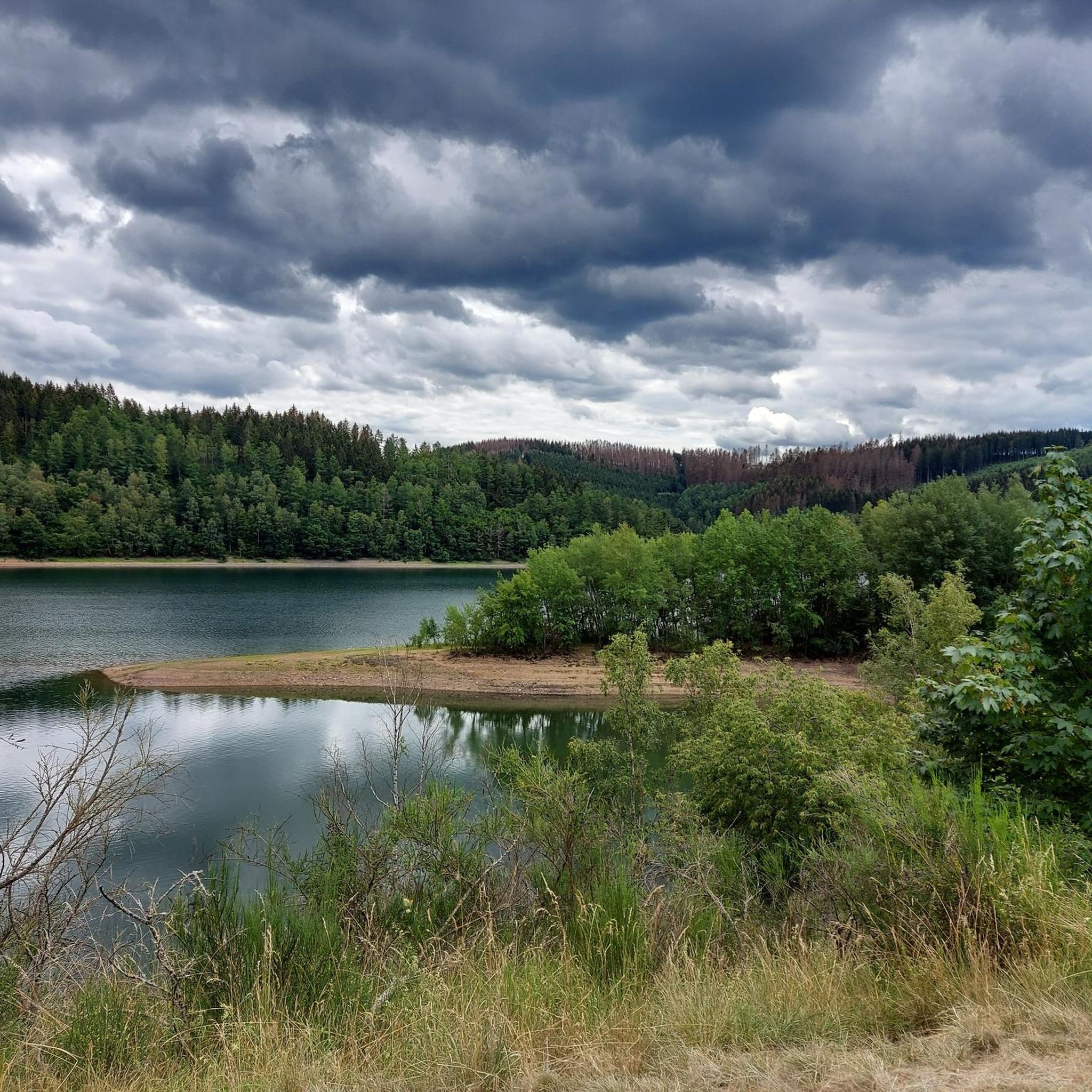
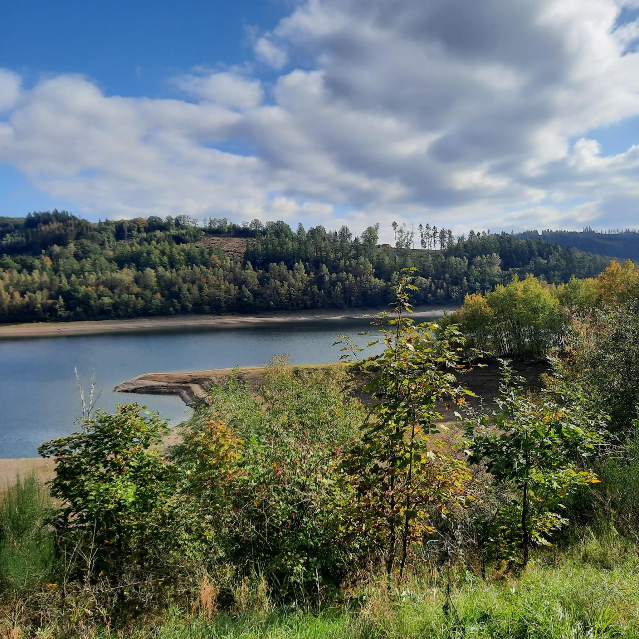
Tips from the Community

Beautiful in every season.
0
0

Super address in Netpherland to pursue one's leisure activities.
0
0
One of the two villages that had to make way for the construction of the drinking water reservoir.
0
0
Great place to rest, enjoy the view and the peace and quiet.
0
0
A reminder of one of the villages that had to be relocated for the construction of the drinking water reservoir. Further up the valley are beautiful pictures showing the individual houses and farmsteads from that time.
0
0
Great view of the reservoir's intake tower.
0
0
A fantastic view of one of the two drinking water reservoirs in the Siegerland and Wittgenstein regions.
0
0
Beautiful setting for hikers, joggers and bikers.
0
0
Frequently Asked Questions
How many hiking trails are available around Obernautalsperre?
There are over 1,000 hiking routes in the Obernautalsperre area, offering a wide variety of options for different skill levels and preferences. The komoot community has explored more than 31,000 of these routes.
Are there easy or beginner-friendly hiking options in Obernautalsperre?
Yes, Obernautalsperre offers many easy and beginner-friendly trails. Out of over 1,000 routes, more than 640 are classified as easy, making it accessible for hikers of all experience levels. An example of an easy route is the View of Obernautalsperre – View of Obernautalsperre loop from Kreis Siegen-Wittgenstein, which is about 6.8 km long.
What are the typical lengths of hiking trails around Obernautalsperre?
Trail lengths vary significantly. You can find shorter walks, such as the 6.8 km View of Obernautalsperre – View of Obernautalsperre loop from Kreis Siegen-Wittgenstein, or longer excursions like the 11 km View of the Obernau Reservoir – Letter Forest Deuz loop from Brauersdorf. The most popular routes range from 7 to 10 km.
Are there family-friendly hiking trails in the Obernautalsperre region?
Many of the easy and moderate trails around Obernautalsperre are suitable for families. The well-maintained paths along the reservoir and through the woodlands provide a pleasant environment for children. Look for routes marked as 'easy' for the most family-friendly experiences.
Can I bring my dog on the hiking trails around Obernautalsperre?
Yes, dogs are generally welcome on the hiking trails around Obernautalsperre. It's always recommended to keep your dog on a leash, especially near the reservoir and in areas where wildlife might be present, and to clean up after them. Please check local signage for any specific restrictions.
What can I see along the hiking trails in Obernautalsperre?
The trails offer continuous views of the Obernau Reservoir and its dam. You'll also find various viewpoints, such as the View of the Obernau Reservoir, and opportunities to explore dense woodlands. Some routes, like the View of the Obernautalsperre – Alte Burg Hillfort loop from Kreis Siegen-Wittgenstein, pass by historical sites like the Alte Burg Hillfort.
Are there circular hiking routes available in Obernautalsperre?
Yes, circular routes are a prominent feature of hiking in Obernautalsperre. Many trails are designed as loops, allowing you to start and end at the same point. Examples include the View of the Obernau Dam – View of the Obernau Reservoir loop from Kreis Siegen-Wittgenstein and the View of Beienbach – Obernau Reservoir loop from Brauersdorf.
What is the best time of year to hike around Obernautalsperre?
Obernautalsperre is beautiful year-round. Spring brings blooming nature, summer offers lush greenery, and autumn provides stunning foliage. Even in winter, the landscape can be picturesque, though some paths might be icy or muddy. The reservoir views are a constant highlight regardless of the season.
Are there good viewpoints along the trails?
Yes, the area is known for its scenic viewpoints overlooking the reservoir and the surrounding Siegerland region. Many trails are specifically designed to offer panoramic vistas, such as the View of the Obernau Reservoir and the Rest Area with View of Obernautalsperre.
What do other hikers enjoy most about Obernautalsperre?
The area is highly rated by the komoot community, with an average score of 4.6 stars from over 7,700 reviews. Hikers often praise the continuous views of the reservoir, the peaceful atmosphere of the dense woodlands, and the variety of well-maintained paths suitable for different fitness levels.
Are there any cafes or restaurants near the hiking trails?
While specific establishments directly on the trails are limited, you can find cafes and restaurants in the nearby towns and villages surrounding Obernautalsperre, such as Netphen or Brauersdorf, which are easily accessible by car after your hike.
Is there parking available for hikers at Obernautalsperre?
Yes, there are designated parking areas around Obernautalsperre, particularly near popular starting points for trails. These are usually well-marked and provide convenient access to the reservoir and woodland paths.
Most popular routes around Obernautalsperre
Most popular attractions around Obernautalsperre

Get inspired with the komoot mobile app


Explore more
Browse the best Hikes in other regions.
