The best road cycling routes around Mountainaire
4.8
(10)
310
riders
6
rides
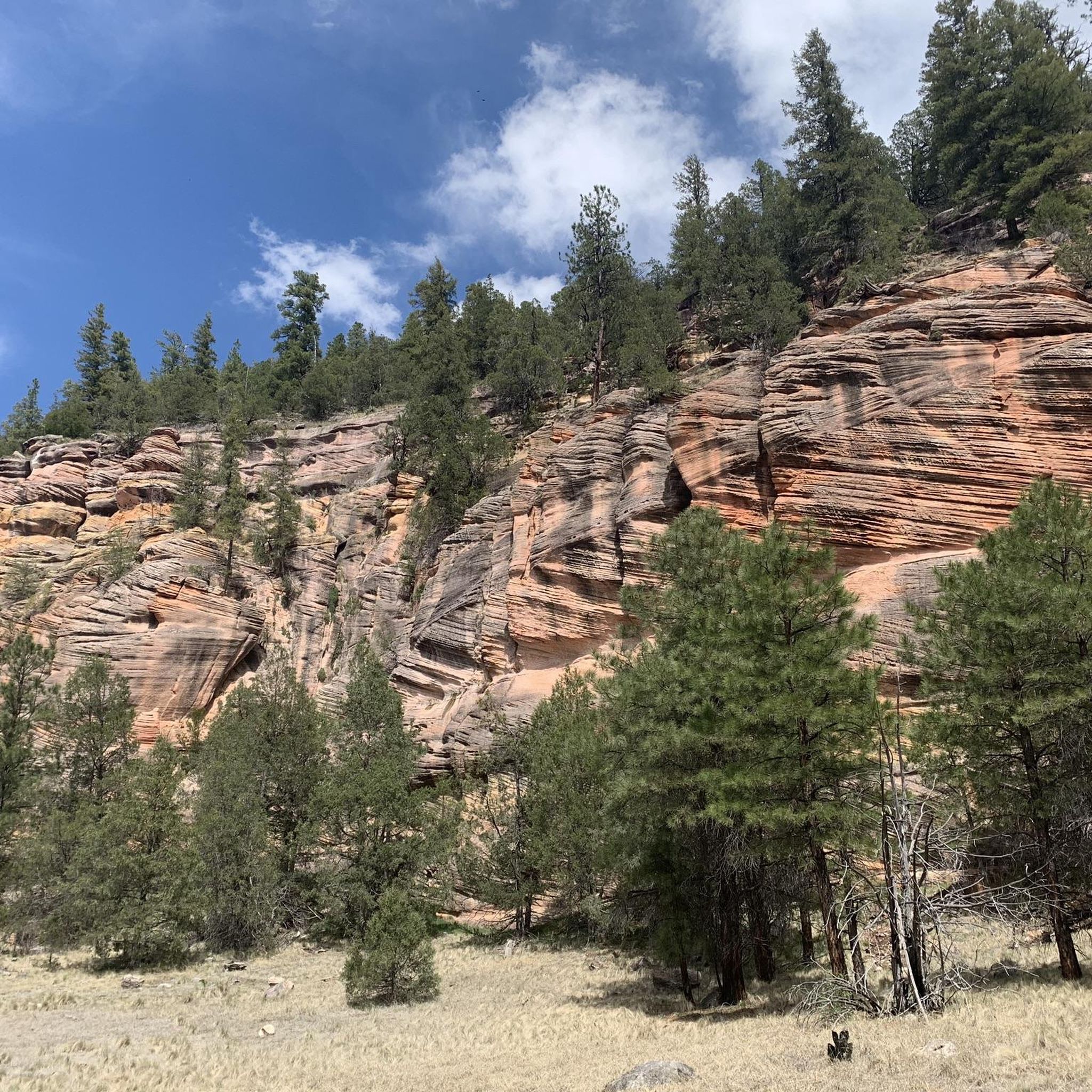
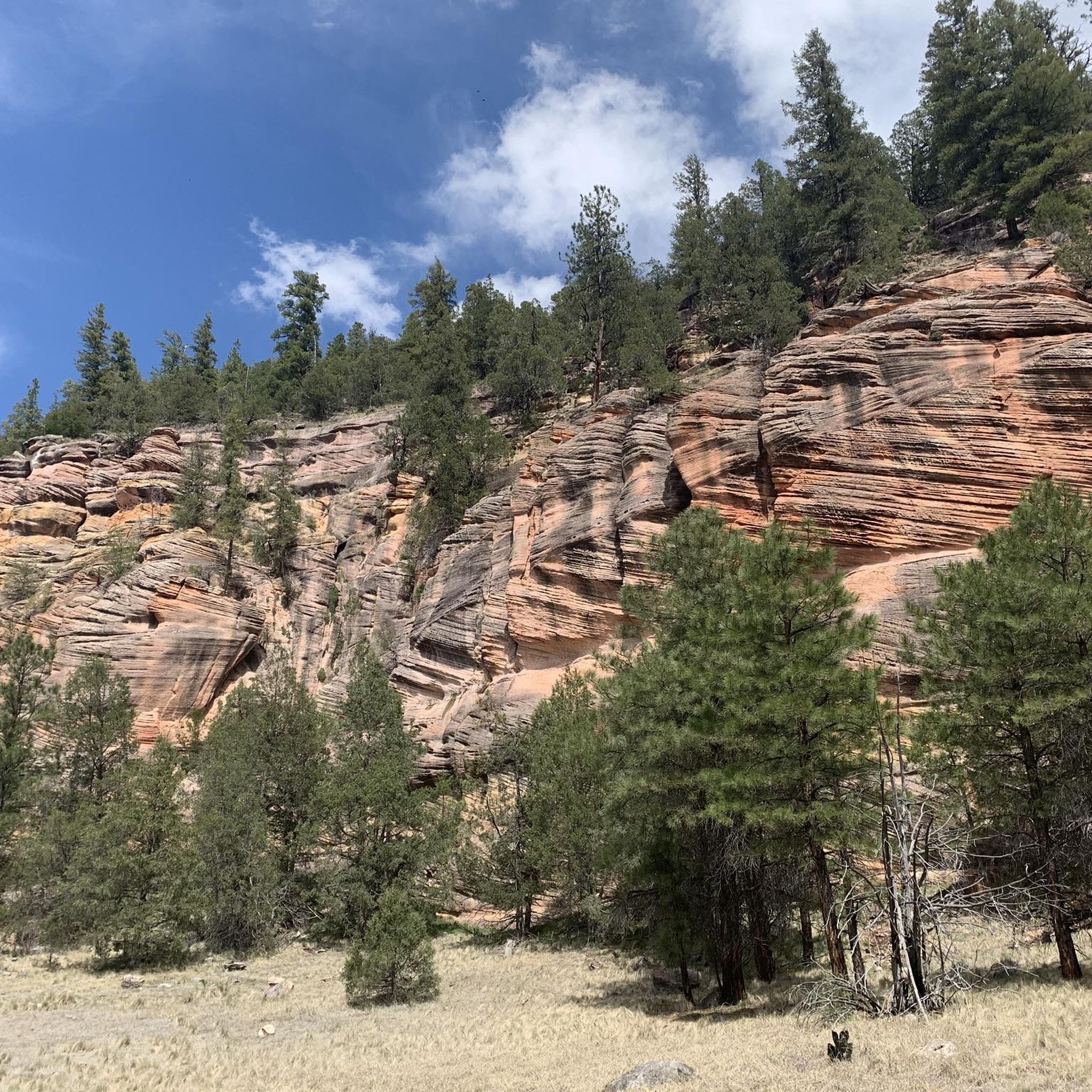
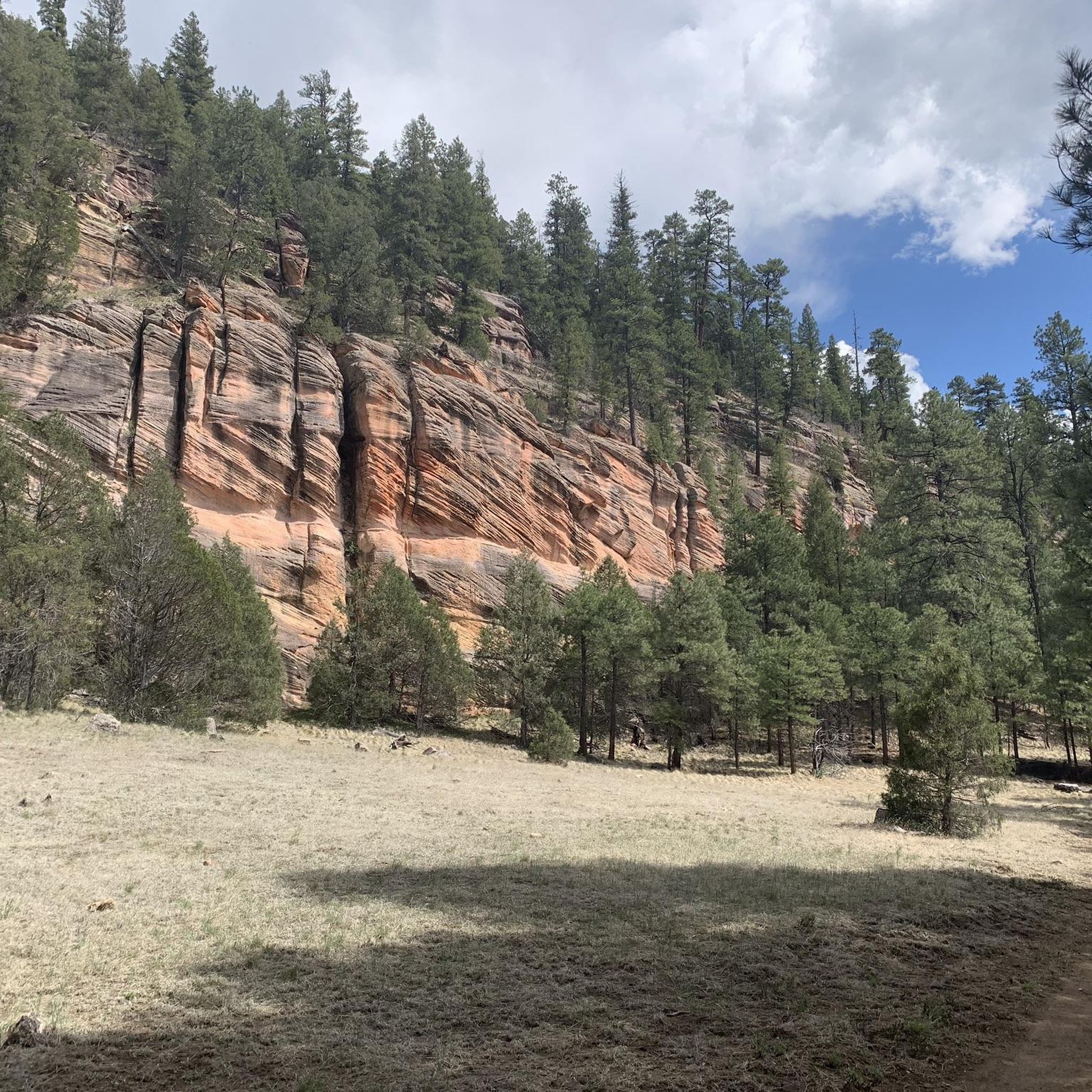
Road cycling around Mountainaire, Arizona, offers routes through diverse landscapes within the Coconino National Forest. The region features extensive Ponderosa pine forests, prominent mountain peaks like the San Francisco Peaks, and scenic lakes including Lower Lake Mary and Mormon Lake. Cyclists can expect varying terrains, from generally level paths around lakes to routes with significant elevation changes. The area provides a natural setting for road cycling, with routes often winding through forested areas and past water bodies.
Best road cycling…
Last updated: June 29, 2026
5.0
(4)
129
riders
74.6km
03:15
380m
380m
Moderate road ride. Good fitness required. Mostly well-paved surfaces and easy to ride.
17
riders
113km
05:19
1,370m
1,370m
Hard road ride. Very good fitness required. Mostly well-paved surfaces and easy to ride.

Sign up for free
5.0
(2)
90
riders
47.8km
01:55
190m
190m
Easy road ride. Great for any fitness level. Mostly well-paved surfaces and easy to ride.
5.0
(2)
51
riders
33.5km
01:22
150m
150m
Easy road ride. Great for any fitness level. Mostly well-paved surfaces and easy to ride.
5.0
(1)
29
riders
37.2km
01:46
280m
280m
Moderate road ride. Great for any fitness level. Some segments of this route may be unpaved and difficult to ride.
Our route recommendations are based on thousands of hikes, rides, and runs completed by other people on komoot.
Start today with a free account
Your next adventure awaits.
Login or Signup


Tips from the Community

This is a small paved segment of the FUTS trail system that connects South Walapai Drive to J W Powell Boulevard, where the JWP section of the trail system picks up along the south side of the road.
0
0

The most northern section of the Karen Cooper Trail passes through Cheshire Park, which backs up to a fair bit of Open Space. This is a popular spot for people walking their dogs or people looking for some quiet green space.
0
0

Great afternoon road ride with ample parking and no fees
0
0

Just off the North Fort Valley Road, you can take a break at this supreme picnic area with a great view of Humphreys Peak, Arizonas highest mountain. There are information boards, one giving facts about avalanches occurring in the state. You will find a picnic bench next to the parking lot and some trails leading into the forests.
3
0

State Route 89A stretches 84 miles from Prescott to Flagstaff, showcasing some of Arizona's most picturesque landscapes. The route gracefully meanders over Mingus Mountain and weaves through the scenic Oak Creek Canyon.
0
0
This road provides a shortcut that bypasses the congestion of downtown Flagstaff. It’s very flat. has minimal traffic, and leads directly to the Snow Bowl climb.
1
0

Upper Lake Mary is the biggest of Flagstaff's two lakes. It is a long, narrow reservoir, and here in the day-use area, you just get great views of the reservoir. There are picnic tables, barbeque grills, and toilets here. It is a popular place, and in the springtime, and really for most of the summer, the views are super nice and awash with wild flowers.
0
0
Lower Lake Mary is sometimes there and sometimes not. During dry spells, the water level tends to be somewhat on the low side. Either way, it makes for a great bike section for its entire length. The views out over the lake are beautiful, and it's a great place for wildlife. You could see elk, deer, bald eagles, or blue herons. It is also a popular place for cyclists. The level road and the pretty much uninterrupted views of the surrounding countryside might have something to do with it.
0
0
Frequently Asked Questions
How many road cycling routes are available around Mountainaire?
Komoot features 6 road cycling routes around Mountainaire, offering a variety of experiences through the Coconino National Forest. These routes range from easy loops around lakes to more challenging rides with significant elevation gain.
What makes road cycling in Mountainaire unique?
Road cycling in Mountainaire is characterized by its stunning natural setting within the Coconino National Forest. You'll ride through dense Ponderosa pine forests, enjoy views of prominent mountain peaks like the San Francisco Peaks, and cycle alongside scenic lakes such as Lower Lake Mary and Mormon Lake. The diverse landscape provides a refreshing escape into nature.
What do other cyclists enjoy most about road cycling in Mountainaire?
The road cycling routes around Mountainaire are highly rated by the komoot community, with an average score of 4.8 stars from over 12 reviews. Cyclists often praise the varied terrain, the continuous scenic views, and the opportunity to immerse themselves in the natural beauty of the Ponderosa pine forests and serene lakes.
Are there easy road cycling routes suitable for beginners in Mountainaire?
Yes, Mountainaire offers several easy road cycling routes perfect for beginners or those seeking a relaxed ride. A popular choice is the Lower Lake Mary – Lower Lake Mary loop from Fort Tuthill, an easy 30.2-mile path that circles Lower Lake Mary, providing generally level terrain and continuous scenic views.
Are there challenging road cycling routes for experienced riders in Mountainaire?
While the listed komoot routes are mostly easy to moderate, the region around Mountainaire does offer more challenging options. For instance, the Flagstaff to Snow Bowl via North Snow Bowl Road is a demanding 30.8-mile route with a significant elevation gain of 2,826 feet, rewarding cyclists with breathtaking mountain vistas. Another route, Flagstaff to Sedona via 89A, is classified as difficult with over 1,300 meters of elevation gain.
What are some popular loop routes for road cycling in Mountainaire?
Many road cycling routes in Mountainaire are designed as loops, allowing you to start and end in the same location. A favorite is the Canyon Vista Campground to Mormon Lake loop via Lake Mary Road, a moderate 46.4-mile trail through pine forests and past lake views. Another option is the Mormon Lake Lodge Pond – Upper Lake Mary Overlook loop from Lowell Observatory - Anderson Mesa Station, which covers 37.9 miles.
What scenic viewpoints can I expect on road cycling routes in Mountainaire?
Road cycling routes in Mountainaire offer numerous scenic viewpoints. You'll often find continuous views of Lower Lake Mary and Mormon Lake. The Fisher Point Overlook, accessible near some routes, provides stunning vistas of Walnut Canyon, Flagstaff, and the Elden Peaks set against the San Francisco Peaks. The region's Ponderosa pine forests also create beautiful, immersive scenery.
Are there any natural attractions or landmarks to see while road cycling?
Absolutely! While cycling, you'll be surrounded by the natural beauty of the Coconino National Forest. Keep an eye out for wildlife around Lower Lake Mary, including elk, deer, and various bird species. The majestic San Francisco Peaks dominate the skyline, and you might even pass through beautiful aspen groves, such as Aspen Corner, on routes heading towards Snow Bowl.
What is the best time of year for road cycling in Mountainaire?
The best time for road cycling in Mountainaire is typically from late spring through early fall. During these months, the weather is generally pleasant, and the routes are clear of snow. Summer offers warm days, while spring and fall provide cooler temperatures and vibrant foliage, especially in aspen groves.
Are there family-friendly road cycling options in Mountainaire?
Yes, the generally level terrain around Lower Lake Mary makes for excellent family-friendly cycling. Routes like the Lower Lake Mary loop from Flagstaff offer an easy, scenic ride suitable for various skill levels, allowing families to enjoy the outdoors together.
Where can I find parking for road cycling routes in Mountainaire?
Many road cycling routes around Mountainaire start from accessible points with parking. For example, the Lower Lake Mary – Lower Lake Mary loop begins near Fort Tuthill, which typically has parking facilities. Routes originating from Canyon Vista Campground or near Lowell Observatory - Anderson Mesa Station also offer starting points where parking is generally available.
Are there amenities like cafes or rest stops along the road cycling routes?
While many routes in the Coconino National Forest are through natural areas, some routes pass by or are near small communities or facilities. For example, the Mormon Lake Lodge is located near the Canyon Vista Campground to Mormon Lake loop, offering potential stops. For more extensive amenities, the nearby city of Flagstaff provides numerous cafes and services.
Most popular attractions around Mountainaire

Get inspired with the komoot mobile app


Explore more
Browse the best Road cycling routes in other regions.
