The best MTB trails around Mountainaire
4.6
(13)
493
riders
24
rides
Mountain bike trails around Mountainaire offer diverse riding experiences, primarily within the high-desert and forested landscapes of Northern Arizona. The region features a mix of singletrack and wider paths, often characterized by decomposed granite surfaces and occasional technical sections. Riders can expect varied terrain, from rolling hills to more challenging climbs, with elevations that provide distinct views of the surrounding natural environment. The area's trail systems are well-suited for mountain biking, providing a range of options for different skill levels.
…Last updated: August 23, 2026
4.5
(2)
58
riders
15.0km
01:18
160m
160m
Moderate mountain bike ride. Great for any fitness level. Advanced riding skills necessary.
4.5
(2)
56
riders
Moderate mountain bike ride. Great for any fitness level. Advanced riding skills necessary.

Sign up for free
12
riders
44.7km
04:01
900m
900m
Hard mountain bike ride. Good fitness required. Advanced riding skills necessary. Some portions of the route may require you to push your bike.
13
riders
37.2km
02:59
320m
320m
Moderate mountain bike ride. Good fitness required. Advanced riding skills necessary.
9
riders
Moderate mountain bike ride. Great for any fitness level. Advanced riding skills necessary.
Get access to more routes and recommendations from other explorers.
Sign up for free
Already have an account?
Our route recommendations are based on thousands of hikes, rides, and runs completed by other people on komoot.
Start today with a free account
Your next adventure awaits.
Login or Signup
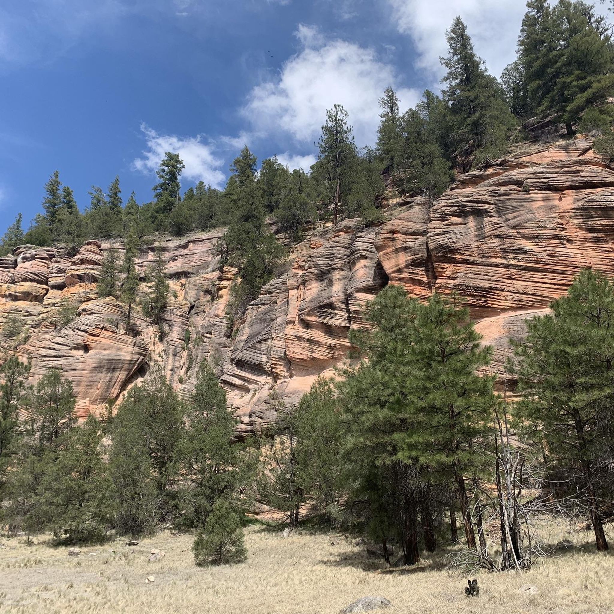
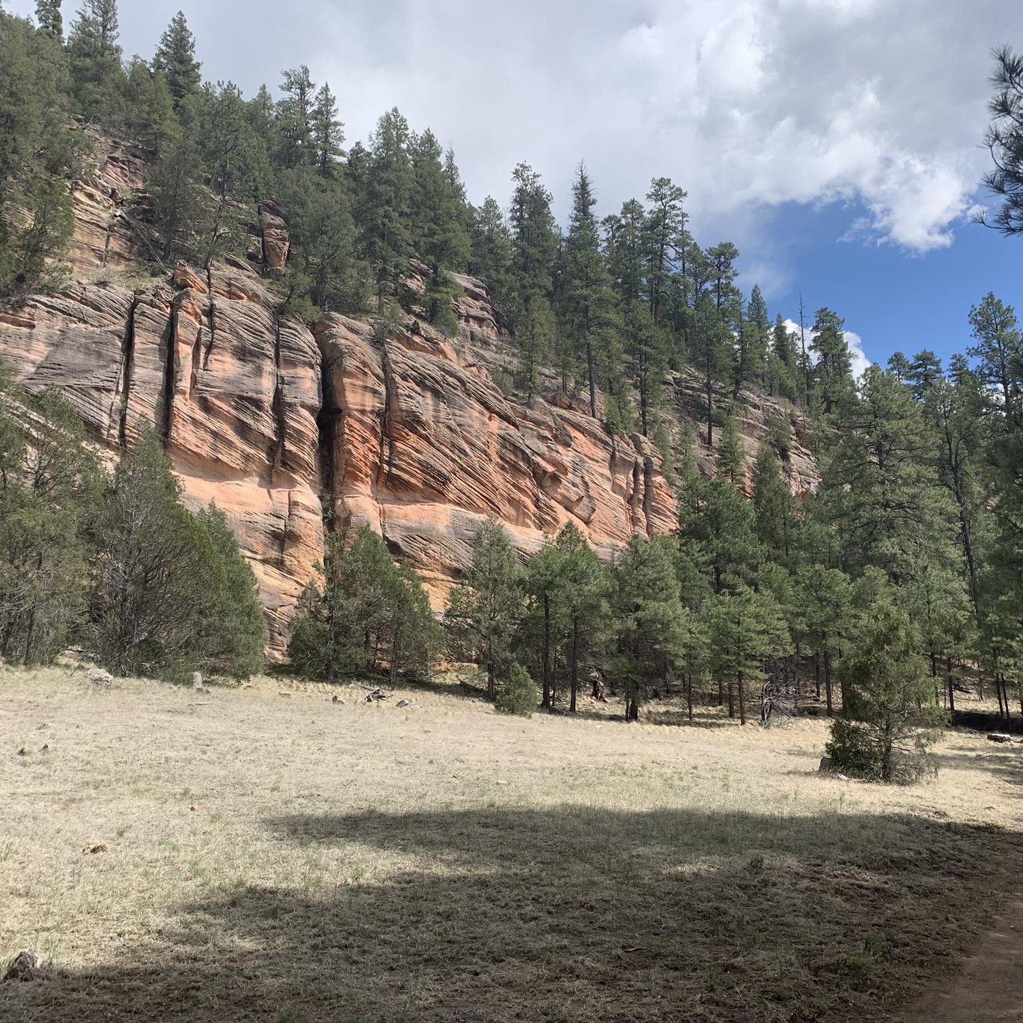

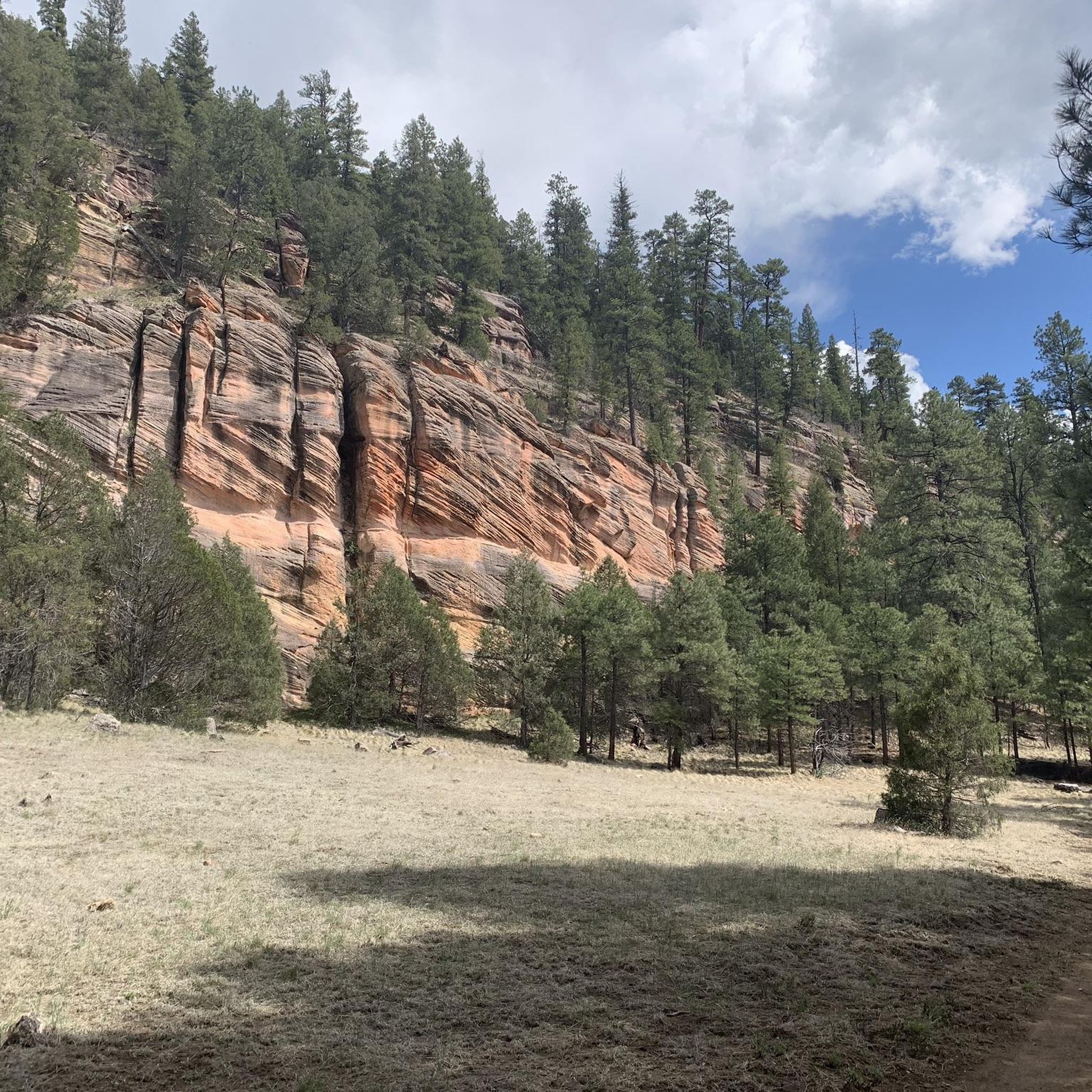

Tips from the Community

This is a small paved segment of the FUTS trail system that connects South Walapai Drive to J W Powell Boulevard, where the JWP section of the trail system picks up along the south side of the road.
0
0

This park provides a variety of outdoor activities, including archery, multiple trails, a disc golf course, fairgrounds, and much more. As you run, you'll be able to enjoy the Ponderosa pine forest and mountain views.
0
0

The Sunset trail is a great path in Coconino National Forest. It is popular with hikers and mountain bikers because of the amazing views you get as you climb the ridge.
0
0

Bring a full suspension bike if possible. Some sections get rocky and rooty, especially near Elden. The loop combines smooth singletrack with more technical climbs, so pace yourself and save energy for the punchy sections on the back half. Weather can change fast at this elevation, so pack layers and carry plenty of water.
0
0

The Schultz Trailhead in Flagstaff is a gateway to the Mount Elden/Dry Lake Hills Trail System. These trails are open to mountain biking and horseback riding through ponderosa pine forests and seasonal wildflower fields. The trailhead connects to routes like the Schultz Creek Trail, known for its moderate elevation changes and natural beauty. There are no restrooms, and trail closures are checked for in winter when access roads are affected by snow.
1
0

Beautiful trail on the ridges. I recommend going up to the Fire Lookout by the Elden Lookout Trail, then taking this SunSet trail, then at the intersection take the Heart Trail on the right, to then join the Christmas Tree Trail which finishes the loop.
0
0
This park provides a variety of outdoor activities, including archery, multiple trails, a disc golf course, fairgrounds, and much more. As you run, you'll be able to enjoy the Ponderosa pine forest and mountain views.
0
0

Just below the peak of Elden Moutain, Sunset Trail runs parallel to Elden Lookout Road. The trail has unobstructed views back towards the peak, and there are a lot of different spur trails and trail intersections along this path so that you create different loops and routes.
1
0
Frequently Asked Questions
How many mountain bike trails are available around Mountainaire?
There are over 15 mountain bike trails around Mountainaire, offering diverse riding experiences. These trails are primarily located within the high-desert and forested landscapes of Northern Arizona, featuring a mix of singletrack and wider paths.
What types of mountain bike trails can I find in Mountainaire?
Mountainaire offers a range of trails suitable for different skill levels. You'll find 2 easy routes, 12 moderate routes, and 1 difficult route. The terrain often features decomposed granite surfaces and occasional technical sections, with varied elevation changes.
Are there any family-friendly mountain bike trails in Mountainaire?
Yes, there are easy mountain bike trails that are suitable for families. For instance, the Old Railroad to Osage trail, mentioned in regional research, is rated 'Green' difficulty and considered physically easy, making it a good option for a more relaxed ride.
Are there any circular mountain bike routes in the Mountainaire area?
Many of the trails around Mountainaire are designed as loops, providing a complete riding experience without needing to retrace your path. Examples include the Fort Tuthill County Park loop from Fort Tuthill, which is a 9.3-mile moderate trail, and the Flagstaff Loop Trail – Fort Tuthill County Park loop from Bow and Arrow Acres, a 13.2-mile moderate path.
What are some of the longer mountain bike trails in Mountainaire?
For a longer ride, consider the Flagstaff Loop Trail loop from Fort Tuthill, which spans 19.6 miles and typically takes about 2 hours 53 minutes to complete. Another substantial option is the Flagstaff Loop Trail loop from Flagstaff, covering 36.5 miles.
What do other mountain bikers say about the trails in Mountainaire?
The mountain bike trails around Mountainaire are highly rated by the komoot community, with an average score of 4.6 stars from over 10 reviews. More than 400 mountain bikers have used komoot to explore the varied terrain, often praising the diverse landscapes, from high-desert to ponderosa pine forests, and the well-maintained paths.
Are there any specific trails for advanced mountain bikers?
While most trails are moderate, the region does offer more challenging sections. The Kelly Motorized Trail System, for example, includes trails like the Mountainaire Backyard Downhill to 762, which is rated 'Blue' difficulty, indicating an intermediate to advanced technical challenge with a 148-foot elevation descent.
What kind of landscapes and natural features can I expect to see while mountain biking?
Mountain biking around Mountainaire offers views of high-desert terrain, ponderosa pine forests, and volcanic features. The broader Arizona context suggests riders can encounter distinct geological formations and diverse flora, from Saguaro cacti to Cholla, depending on the specific trail and elevation.
What are some interesting places to explore near the mountain bike trails?
Near the mountain bike trails, you can explore several interesting spots. Consider visiting Downtown Flagstaff for local amenities, or enjoy the scenic views from Fisher Point Overlook. For a natural attraction, Lower Lake Mary is also nearby.
Is there parking available at the trailheads?
While specific parking details for every trailhead are not provided, many popular trail systems like Fort Tuthill County Park, which hosts routes such as the Fort Tuthill County Park loop, typically offer designated parking areas. It's advisable to check individual route details on komoot for precise parking information.
Are there any hidden gem mountain bike trails in Mountainaire?
While the main trails are well-known, exploring routes like the Two Ace Tank – Hoffman Tank loop from Walkup Skydome can offer a less crowded experience. This 15.7-mile moderate trail provides a different perspective of the area's diverse landscapes.
What is the best time of year for mountain biking in Mountainaire?
Given Mountainaire's location in Northern Arizona, the spring and fall months generally offer the most pleasant weather for mountain biking, with milder temperatures. Summer can be hot, especially in exposed areas, while winter may bring snow to higher elevations, impacting trail conditions.
Most popular attractions around Mountainaire

Get inspired with the komoot mobile app


Explore more
Browse the best MTB trails in other regions.
