The best road cycling routes around Kudensee
4.6
(49)
728
riders
89
rides
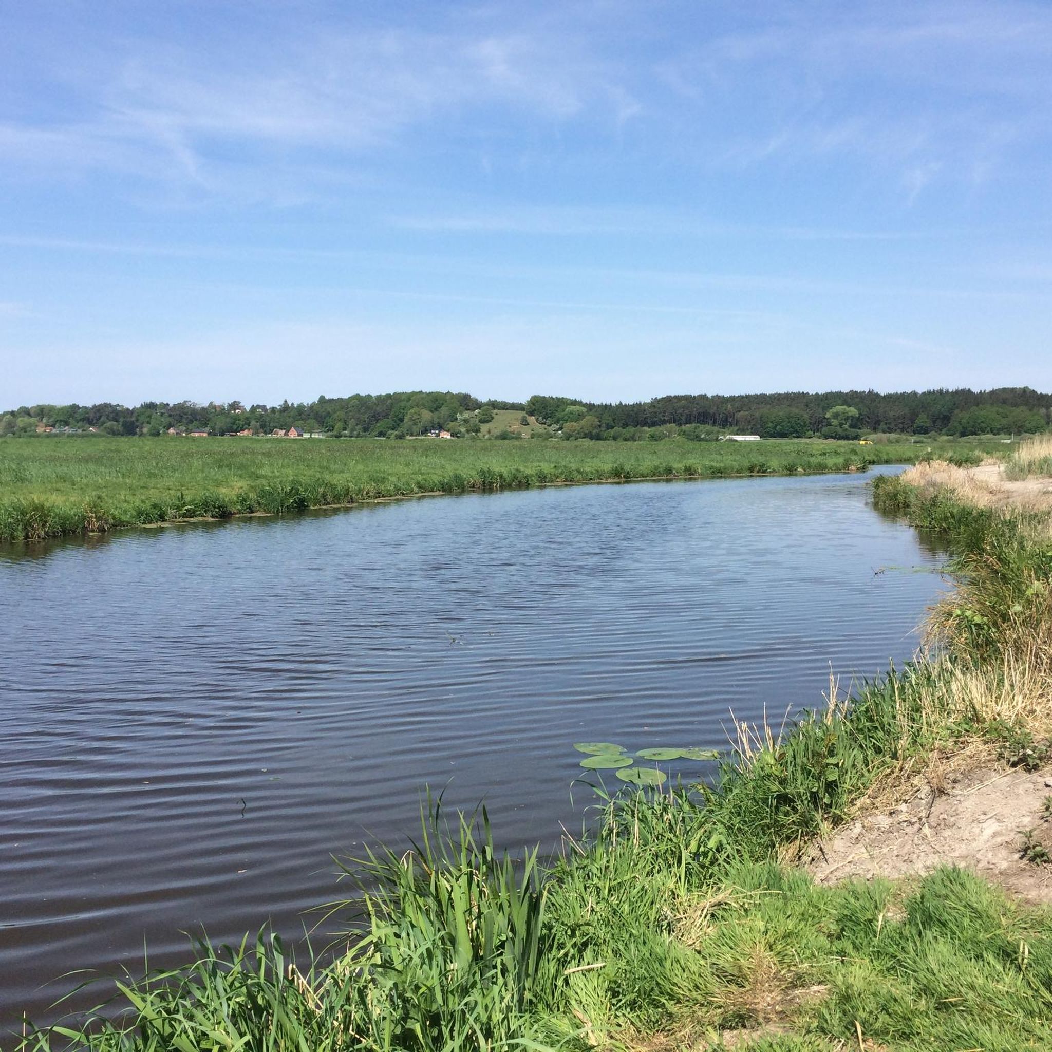
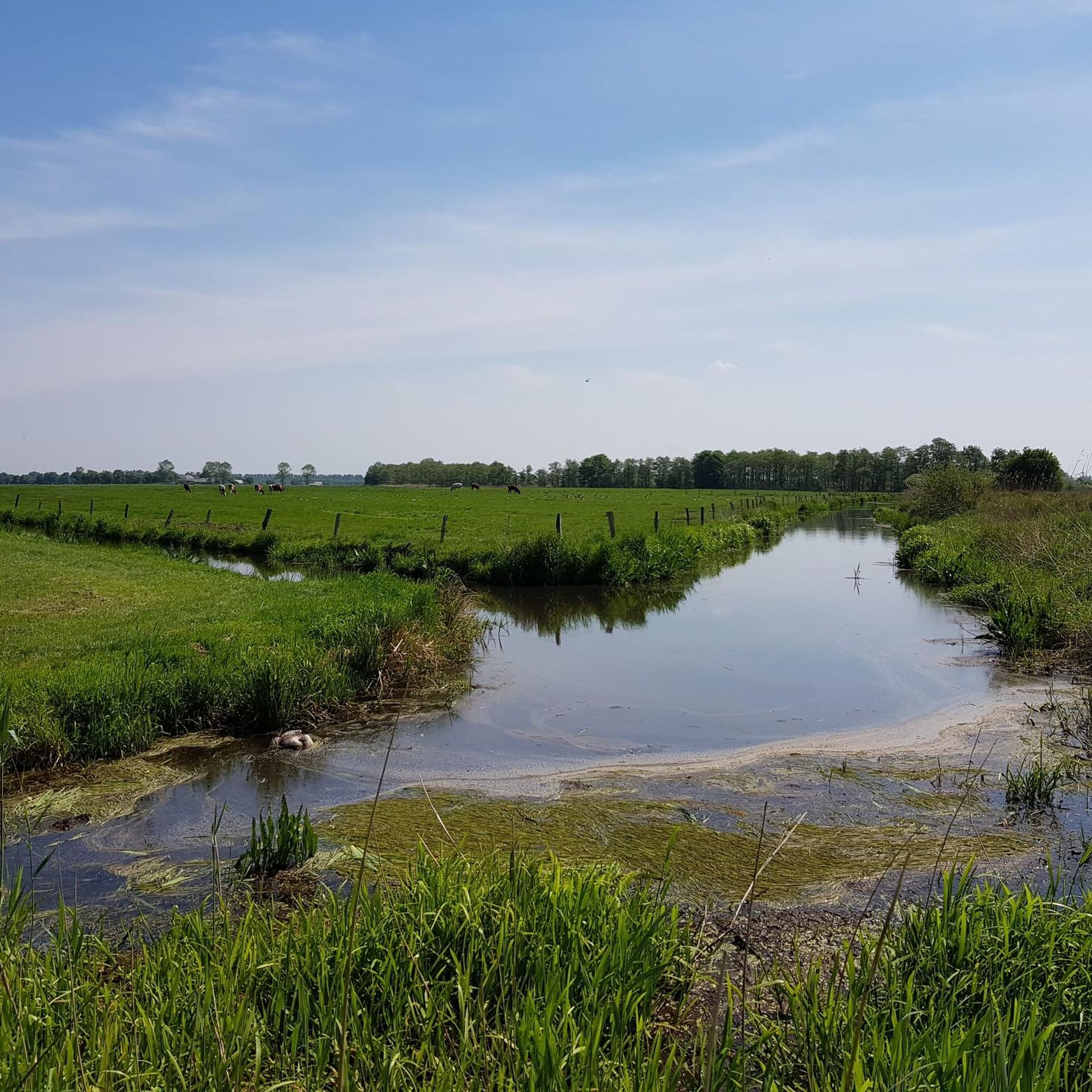
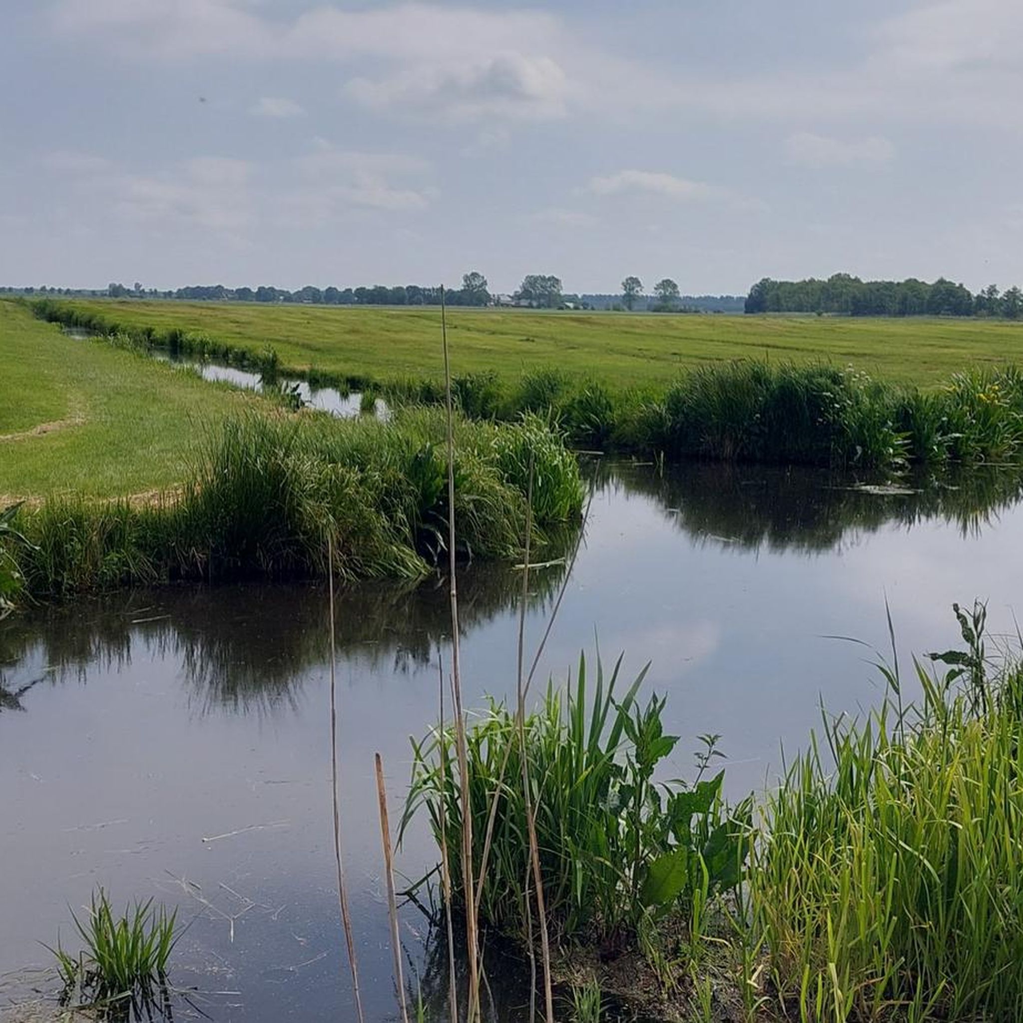
Road cycling routes around Kudensee are characterized by the tranquil marshland and flat, open terrain of the Elbe Marshes. The region features the Kudensee Nature Reserve, the largest lake in Dithmarschen, offering a serene environment for cycling. While generally flat, some routes may include gentle hills and unpaved sections. This landscape provides expansive views and opportunities to observe diverse marsh and water birds.
Best road cycling routes around Kudensee
- The most popular road cycling route is Süderhastedt–Burg Cycle Path –…
Last updated: July 10, 2026
5
riders
45.4km
01:54
200m
200m
Easy road ride. Great for any fitness level. Mostly well-paved surfaces and easy to ride.
3
riders
49.3km
02:00
220m
220m
Moderate road ride. Good fitness required. Mostly well-paved surfaces and easy to ride.

Sign up for free
3
riders
39.0km
01:42
170m
170m
Moderate road ride. Great for any fitness level. Some segments of this route may be unpaved and difficult to ride.
1
riders
54.3km
02:11
110m
110m
Moderate road ride. Good fitness required. Mostly well-paved surfaces and easy to ride.
4.5
(2)
15
riders
Easy road ride. Great for any fitness level. Mostly well-paved surfaces and easy to ride.
Get access to more routes and recommendations from other explorers.
Sign up for free
Already have an account?
Our route recommendations are based on thousands of hikes, rides, and runs completed by other people on komoot.
Start today with a free account
Your next adventure awaits.
Login or Signup
Tips from the Community

Helpful support for repairs 💯🔝👍🏻😊🚴♀️
3
0

This is the way to Heligoland. Not on foot, of course.
4
0

...all the piers are included 🙃
0
0

Beautiful viewpoint for a short break
1
0

I completely agree. From the perspective of a road bike rider, the function as a shelter is a priority. However, once you're there, you can also broaden your horizons.
2
0

with a beautiful view of the Elbe
0
0


Wacken, always worth it, not only for the OpenAir
0
0
Frequently Asked Questions
What is the general terrain like for road cycling around Kudensee?
The Kudensee region, situated within the Elbe Marshes, is characterized by tranquil marshland and generally flat, open terrain. While many routes are on well-paved surfaces, some may include gentle hills or unpaved sections, requiring varying fitness levels. This landscape offers expansive views and opportunities to observe diverse marsh and water birds.
Are there road cycling routes suitable for beginners or families in Kudensee?
Yes, Kudensee offers several easy road cycling routes perfect for beginners and families. For example, the Süderhastedt–Burg Cycle Path – Hohenhörn Canal Ferry loop from Kuden is an easy 28.2-mile trail that takes about 1 hour 54 minutes and features dedicated cycle paths and a canal ferry crossing. Overall, there are 29 easy routes available.
What kind of elevation gain can I expect on road cycling routes in Kudensee?
While the region is generally flat marshland, some routes do include modest elevation gains. For instance, the Hohenhörn Canal Ferry – Lowest Point in Germany loop from Kuden, a moderate 30.6-mile route, features an elevation gain of around 218 meters (715 feet). More challenging routes can have up to 1,000 feet of elevation gain, though these are less common for road cycling in this specific area.
What are some notable landmarks or attractions I can see while road cycling near Kudensee?
Road cycling routes around Kudensee offer several interesting sights. You can pass by the Brunsbüttel locks and ferry terminal, or visit the Lowest Point in Germany. The Hohenhörn Canal Ferry – Lowest Point in Germany loop from Kuden specifically includes the Lowest Point in Germany landmark. The Kudensee Nature Reserve itself is a significant natural feature, offering serene views and opportunities for birdwatching.
Are there any loop trails for road cycling around Kudensee?
Yes, many road cycling routes in Kudensee are designed as loops, making them convenient for starting and ending at the same point. Examples include the Süderhastedt–Burg Cycle Path – Hohenhörn Canal Ferry loop from Kuden and the Hochdonn Railway Bridge – Burger Ferry House loop from Kuden, which leads through marshland.
What do other road cyclists say about the routes in Kudensee?
The road cycling routes in Kudensee are highly regarded by the komoot community, holding an average rating of 4.7 stars from over 40 reviews. More than 700 road cyclists have used komoot to explore the varied terrain, often praising the tranquil marshland scenery and the well-maintained paths.
What is the best time of year for road biking in Kudensee?
The Elbe Marshes and Kudensee region are beautiful throughout the warmer months. Spring and autumn offer pleasant temperatures and fewer crowds, making them ideal for cycling. Summer is also popular, but can be warmer. The flat terrain generally makes it accessible across different seasons, though marshland areas can be more exposed to wind.
Are there options for longer or more advanced road cycling routes in the Kudensee area?
While many routes are easy to moderate, the region offers a total of 94 road cycling routes, with 65 classified as moderate. These moderate routes often cover longer distances and may include more varied terrain or slightly higher elevation gains. An example is the Windmill Ursula – Old Harbour, Brunsbüttel loop from Kuden, a 50.2-kilometer (31.2-mile) route.
Can I find cafes or places to stop for refreshments along the road cycling routes?
Yes, many routes in the Kudensee area pass through or near small towns and villages where you can find cafes, bakeries, or local eateries. The proximity to the Elbe Cycle Path also means there are established stops catering to cyclists. Planning your route with komoot allows you to identify potential refreshment stops along the way.
Is public transport available to reach road cycling routes in Kudensee?
While specific public transport options directly to every trailhead might be limited, the Kudensee region is accessible. You can often reach nearby towns by regional train or bus, and then cycle to the starting points of the routes. It's advisable to check local transport schedules and bike carriage policies in advance.
Where can I park my car when going road cycling in Kudensee?
Parking is generally available in the towns and villages surrounding Kudensee, such as Kuden, which serves as a common starting point for many routes. Look for designated parking areas or public car parks. Always ensure you park responsibly and check for any local parking regulations.
What makes the Kudensee Nature Reserve special for cyclists?
The Kudensee Nature Reserve is the largest lake in Dithmarschen and an internationally protected FFH area and European bird sanctuary. Cycling around its perimeter or through the adjacent marshlands offers a unique opportunity to experience a serene, unspoiled environment, observe diverse marsh and water birds, and enjoy expansive, tranquil views away from busy roads.
Most popular routes around Kudensee

Get inspired with the komoot mobile app


Explore more
Browse the best Road cycling routes in other regions.
