The best cycling routes around Kaartjärvi
29
riders
3
rides
Touring cycling around Kaartjärvi, located in Finland, features routes through varied landscapes characterized by lakes and forested hills. The terrain includes a mix of paved and unpaved roads, suitable for different types of touring bikes. Cyclists can expect tranquil stretches alongside lakes and through woodlands, with some routes presenting moderate elevation changes.
Best touring cycling routes around Kaartjärvi
- The most popular touring cycling route is Iso-Melkutin Lake – Forest Ridge by the Lake loop from Laakasalo th P, a…
Last updated: June 29, 2026
20
riders
Hard bike ride. Good fitness required. You may need to push your bike for some segments of this route.
3
riders
22.6km
01:30
150m
150m
Easy bike ride. Great for any fitness level. Mostly paved surfaces. Suitable for all skill levels.

Sign up for free
2
riders
Moderate bike ride. Good fitness required. Mostly paved surfaces. Suitable for all skill levels.
4
riders
37.9km
02:30
240m
240m
Moderate bike ride. Good fitness required. Mostly paved surfaces. Suitable for all skill levels.
Our route recommendations are based on thousands of hikes, rides, and runs completed by other people on komoot.
Start today with a free account
Your next adventure awaits.
Login or Signup
Tips from the Community

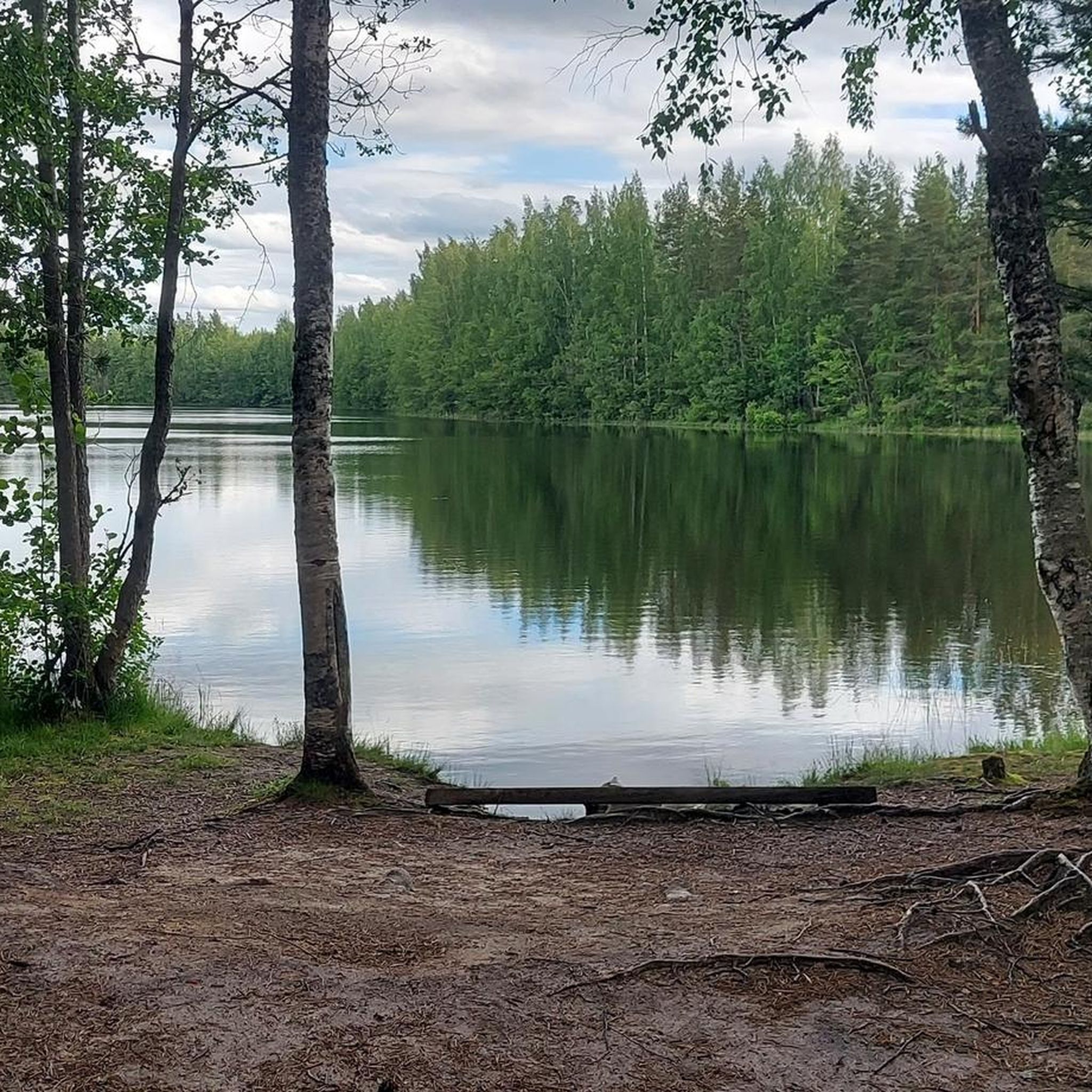
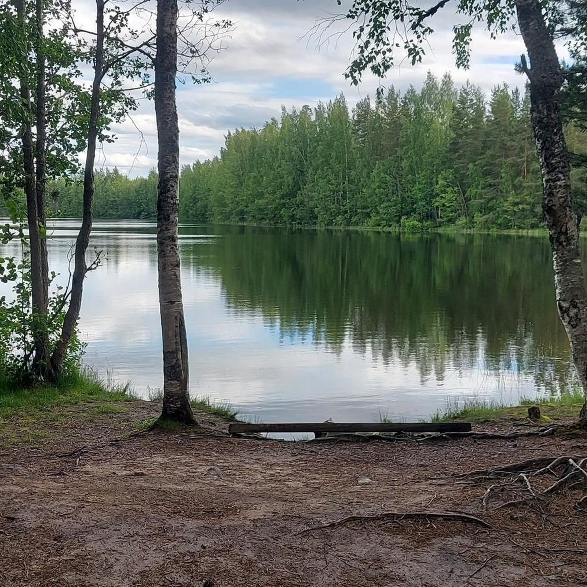
First view of the Iso-Melkutin lake, coming from the trailhead. A lovely place by the waterside.
0
0

Starting point for quite a few different routes along the Ilvesreitti, the loops around the lake are between seven and nine kilometers from here. It depends if you explore all the peninsulas.
1
0

Nice restaurant with lunch buffet and à la carte options (pizza, burgers, etc.) https://www.rayskala.fi/palvelut/ravintola/
0
0

Nice bridge to one of the numerous ridges. For a longer tour turn left after the bridge when doing the route clockwise and visit some of the other nearby lakes.
0
0
Lots of little ridges on this route that lead out further into the water. Perfect for lunch or a quick dip.
0
0
Big campsite at the lakeside. There’s a table at the top of the little hill next to the fireplace.
0
0

Frequently Asked Questions
How many touring cycling routes are available around Kaartjärvi?
There are 4 touring cycling routes documented on komoot for the Kaartjärvi area. These routes offer a variety of experiences, ranging from moderate to difficult, and explore the region's scenic lakes and forested hills.
What kind of terrain can I expect on touring cycling routes around Kaartjärvi?
The terrain around Kaartjärvi is diverse, featuring a mix of paved and unpaved roads, including gravel paths. You'll cycle through extensive forests, alongside large, clear lakes, and over rolling hills. Some routes include moderate elevation changes, providing both challenging segments and tranquil stretches.
What is the best time of year for touring cycling in Kaartjärvi?
The best time for touring cycling in Finnish lake regions like Kaartjärvi is typically from late spring to early autumn (May to September). During these months, the weather is generally mild, with longer daylight hours and less precipitation, making for pleasant cycling conditions. The landscapes are vibrant, and amenities are more likely to be open.
Are there easy touring cycling routes suitable for beginners around Kaartjärvi?
While the current selection of routes on komoot for Kaartjärvi includes moderate and difficult options, the region's varied landscape suggests that easier, less strenuous paths might be found locally. For a moderate option, consider the Iso-Melkutin Starting Point – Ravintola Huhkajalampi loop from Majamäenharju, which is 22.0 miles (35.3 km) long and leads through woodlands.
What are some challenging touring cycling routes in the Kaartjärvi area?
For a more challenging ride, the Iso-Melkutin Lake – Forest Ridge by the Lake loop from Laakasalo th P is a difficult 16.9 miles (27.2 km) route offering views of Iso-Melkutin Lake and traversing forest ridges. Another difficult option is the Räyskälä – Pirunlinna loop from Keritty, a 14.3 miles (23.1 km) path with significant elevation gain through forested areas.
Are there circular touring cycling routes around Kaartjärvi?
Yes, all the touring cycling routes listed for Kaartjärvi on komoot are circular loops. This includes the Iso-Melkutin Starting Point – Ravintola Huhkajalampi loop from Majamäenharju and the Värilammi loop from Topeno, allowing you to start and finish at the same point.
Where can I park my car when cycling around Kaartjärvi?
While specific parking locations for each route are not detailed in the guide, many Finnish outdoor areas, especially near popular lakes and trailheads, offer designated parking facilities. It's advisable to check the starting points of individual routes on komoot or local signage upon arrival for the most accurate parking information.
Are there options for public transport to reach the cycling routes around Kaartjärvi?
Public transport options to less populated lake regions in Finland, such as Kaartjärvi, can be limited. While some larger towns might have bus connections, reaching specific trailheads often requires a car. It's recommended to research local bus schedules or consider car rental for greater flexibility in accessing the cycling routes.
Are there places to eat or stay overnight near the cycling routes?
Yes, some routes pass by local amenities. For example, the Iso-Melkutin Starting Point – Ravintola Huhkajalampi loop from Majamäenharju leads past local amenities, which may include cafes or restaurants. Generally, Finnish lake regions often have summer cafes, rest stops, and even lean-tos with firewood along popular routes, enhancing the touring experience. For accommodation, look for options in nearby villages or towns.
Can I bring my dog on the touring cycling routes around Kaartjärvi?
Many outdoor areas in Finland are dog-friendly, provided dogs are kept on a leash, especially in nature reserves or during certain seasons to protect wildlife. While specific rules for Kaartjärvi's cycling routes are not detailed, it's generally safe to assume that well-behaved dogs on a leash are welcome on most trails. Always clean up after your pet.
Are there family-friendly touring cycling options in Kaartjärvi?
The current routes listed for Kaartjärvi on komoot are rated moderate to difficult, which might be challenging for younger children or families seeking very easy rides. However, the general nature of Finnish lake regions often includes quieter, less-trafficked roads and paths that could be suitable for families. It's best to assess the difficulty and distance of a route against your family's cycling abilities.
What natural features can I see while cycling around Kaartjärvi?
Cycling around Kaartjärvi offers a chance to experience picturesque Finnish nature. You'll encounter large, clear lakes, vast forested areas, and rolling hills. The region's geology, shaped by the Ice Age, contributes to its unique natural beauty, including rocky forests and tranquil bogs. Keep an eye out for diverse ecosystems and serene swimming spots along the way.

Get inspired with the komoot mobile app


Explore more
Browse the best Cycling routes in other regions.
