The best walks and hikes around Kaartjärvi
4.9
(26)
561
hikers
13
hikes
Hiking trails around Kaartjärvi are characterized by distinctive lake landscapes, varied forest environments, and terrain shaped by glacial river deposits. The region, part of the Pernunnummi area, features sandy shores around Lake Kaartjärvi, which spans approximately 748 hectares. Hikers can explore a mosaic of forest types, ranging from old pine forests to lush mixed woodlands, interspersed with numerous smaller lakes and ponds. This geological history contributes to the diverse and engaging experiences for outdoor enthusiasts.
Best hiking trails around Kaartjärvi
…Last updated: June 27, 2026
25
hikers
31.7km
08:13
190m
190m
Hard hike. Very good fitness required. Easily-accessible paths. Suitable for all skill levels.
21
hikers
Hard hike. Very good fitness required. Easily-accessible paths. Suitable for all skill levels.

Sign up for free
4.8
(13)
302
hikers
7.29km
02:12
10m
10m
Moderate hike. Good fitness required. Easily-accessible paths. Suitable for all skill levels.
23
hikers
6.88km
01:46
30m
30m
Easy hike. Great for any fitness level. Easily-accessible paths. Suitable for all skill levels.
5.0
(2)
13
hikers
Moderate hike. Good fitness required. Easily-accessible paths. Suitable for all skill levels.
Get access to more routes and recommendations from other explorers.
Sign up for free
Already have an account?
Our route recommendations are based on thousands of hikes, rides, and runs completed by other people on komoot.
Start today with a free account
Your next adventure awaits.
Login or Signup
Tips from the Community

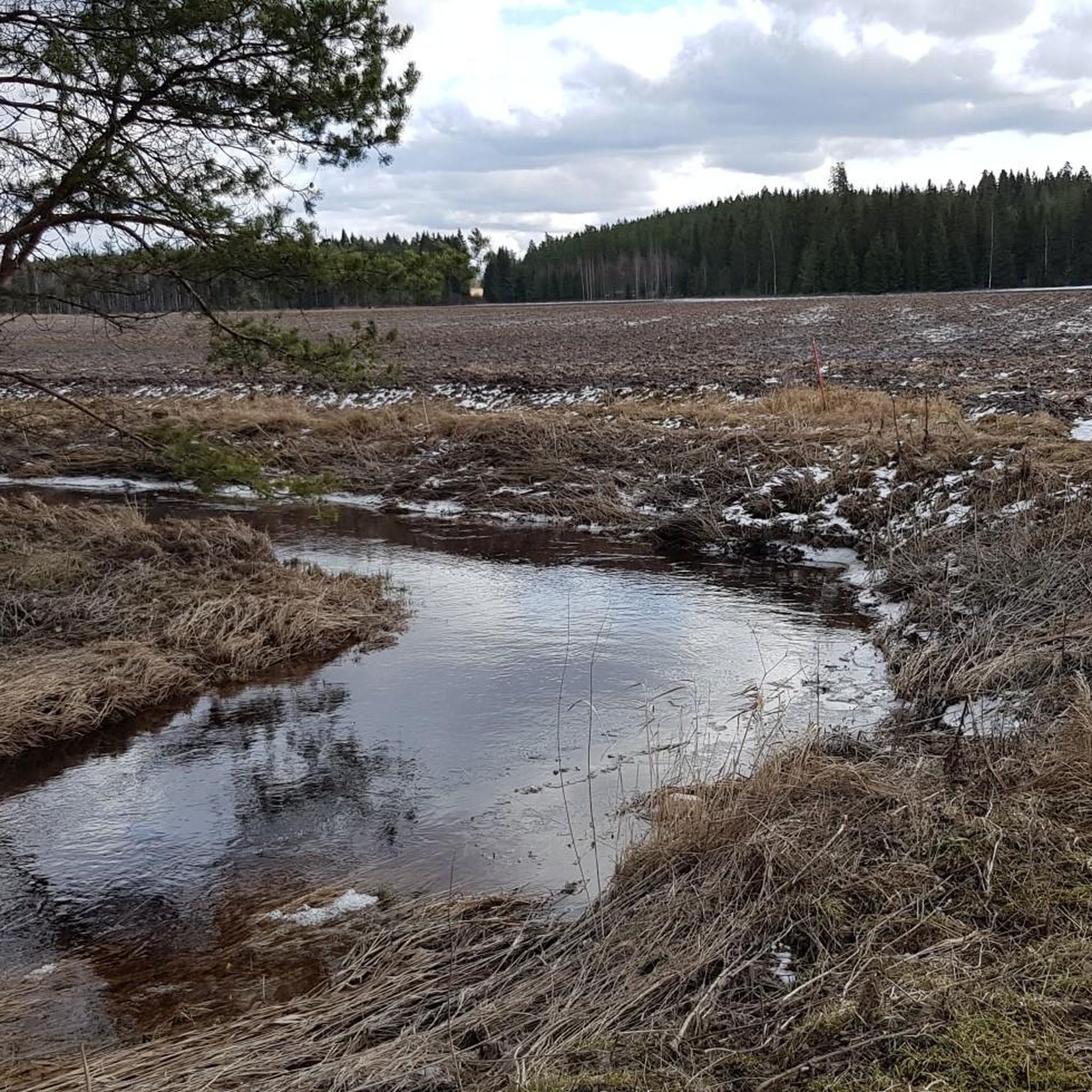
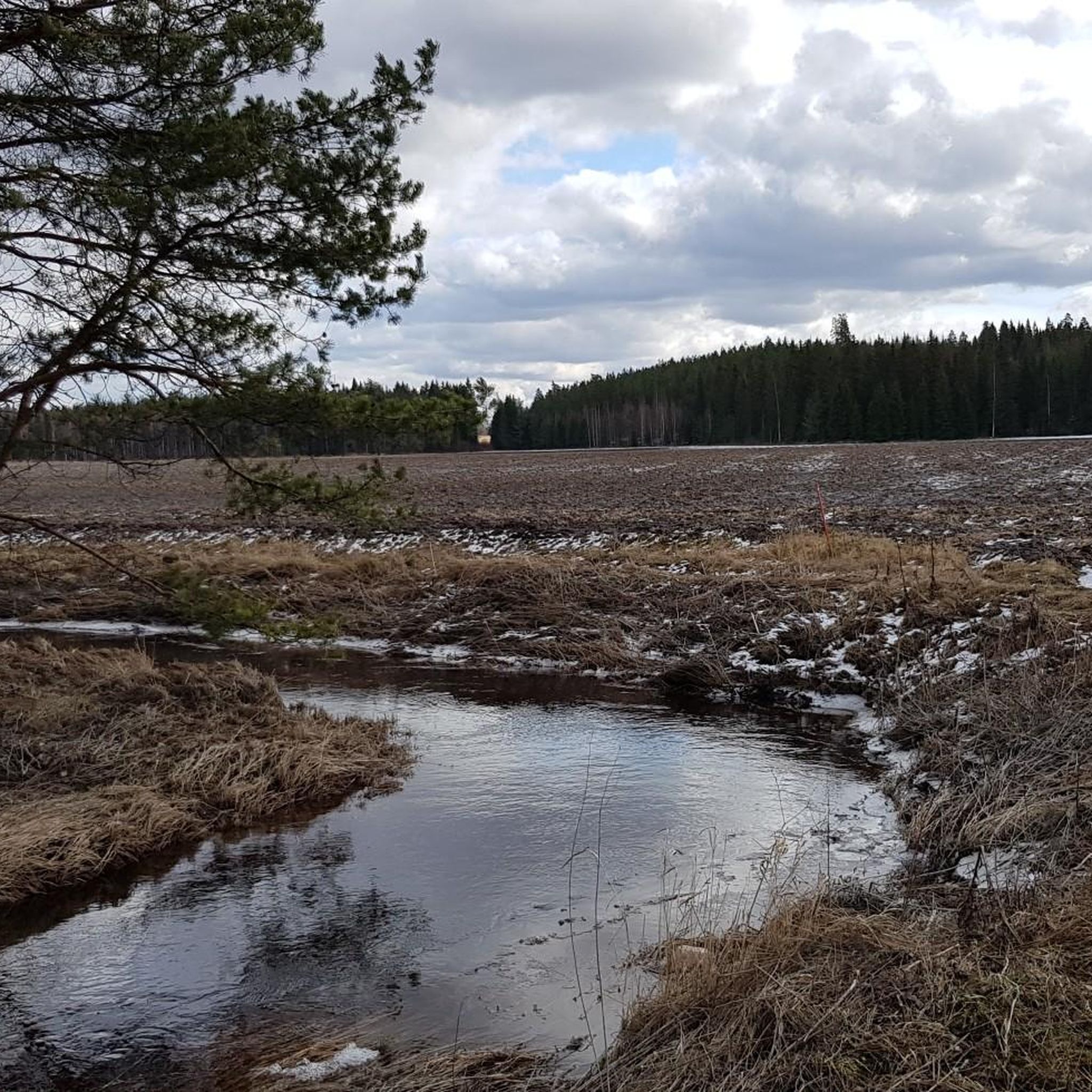
Enchanting little pond on the Luuntaharjun Samo trail. You can enjoy it from a little bench.
0
0

Enchanting little pond on the Luuntaharjun Samo trail. You can enjoy it from a little bench.
0
0
The highest elevation of the Komio Nature Reserve is a kind of ridge. There you will find decent views through the trees and a bench with a funny wooden sculpture of an exhausted man.
0
0
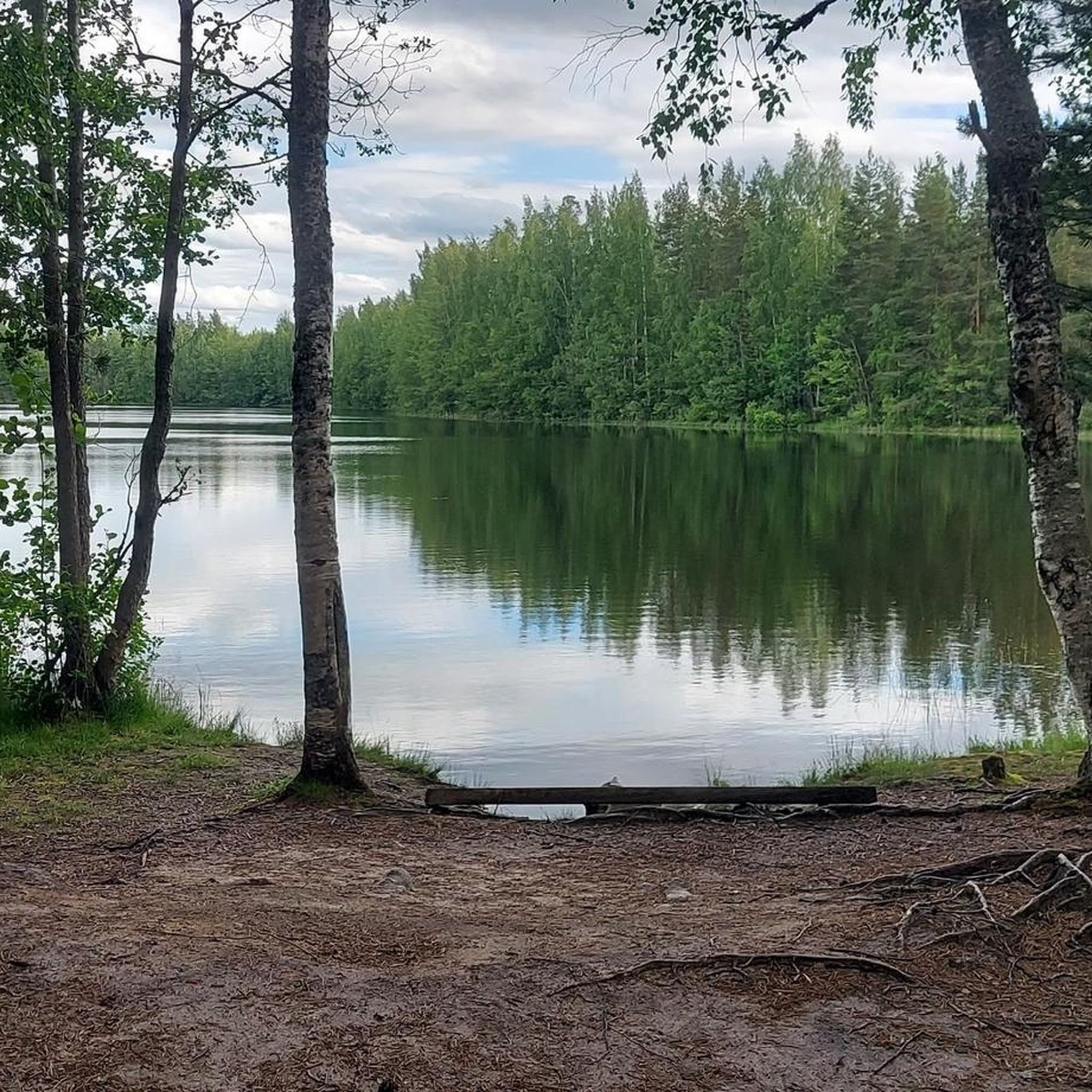
Lovely place for a break and a picnic, with benches, tables, a campfire site and a great view of the lake.
0
0
First view of the Iso-Melkutin lake, coming from the trailhead. A lovely place by the waterside.
0
0

Starting point for quite a few different routes along the Ilvesreitti, the loops around the lake are between seven and nine kilometers from here. It depends if you explore all the peninsulas.
1
0

This lean-to shelter is always in excellent condition. The shelter is situated next to the Kalamaja log cabin.
0
0
Frequently Asked Questions
What kind of terrain can I expect on hiking trails around Kaartjärvi?
The terrain around Kaartjärvi is characterized by its unique post-glacial landscape, featuring sandy shores around the lake and varied forest environments. You'll encounter a mosaic of forest types, from old pine forests to lush mixed woodlands, and even some barren wilderness areas, especially along sections of the Hämeen Ilvesreitti. The area is part of the Pernunnummi region, shaped by ancient glacial river deposits.
Are there any easy hiking trails suitable for beginners or families in Kaartjärvi?
Yes, Kaartjärvi offers several easy trails perfect for beginners or families. For instance, the Pikkuniemi Shelter loop from Vojakkala is an easy 6.9 km route through forested areas, typically completed in about 1 hour 46 minutes. Another very accessible option is the Iso-Melkutin Lake – Iso-Melkutin Starting Point loop from Räyskälä, which is only 1.8 km long and takes less than half an hour.
What is the best time of year to go hiking in Kaartjärvi?
The best time to hike in Kaartjärvi is generally during the warmer months, from late spring through early autumn (May to September). During this period, the trails are clear of snow and ice, and the diverse forest types are vibrant. The sandy shores and lake views are particularly enjoyable in pleasant weather. While winter hiking is possible, it requires appropriate gear for snow and ice conditions.
Are there any long-distance hiking options or multi-day trails near Kaartjärvi?
Yes, Kaartjärvi is integrated into the extensive Hämeen Ilvesreitti (Häme Lynx Trail), a long-distance route spanning over 250 kilometers. Several sections of this trail are accessible in the vicinity, offering opportunities for longer excursions. For example, the Pirunlinna loop from Rautakoski is a challenging 24.7 km route that traverses varied forest and wilderness areas, taking over 6 hours to complete.
What do other hikers say about the trails in Kaartjärvi?
The hiking trails in Kaartjärvi are highly regarded by the komoot community, with an impressive average score of 4.9 stars from more than 20 reviews. Hikers often praise the distinctive lake landscapes, the variety of forest environments, and the well-maintained paths that allow for immersive experiences in the region's natural beauty.
Are there any circular hiking routes available in Kaartjärvi?
Yes, several circular routes are available, allowing you to start and end your hike at the same point. Examples include the Pikkuniemi Shelter loop from Vojakkala, an easy 6.9 km trail, and the more challenging Pirunlinna loop from Rautakoski, which covers 24.7 km. These loops offer a convenient way to explore the area's diverse landscapes.
What natural features or landmarks can I expect to see while hiking around Kaartjärvi?
Hikers around Kaartjärvi can enjoy the prominent Lake Kaartjärvi itself, with its extensive open waters and sandy shores formed by glacial river deposits. The region is also characterized by a significant number of smaller lakes and ponds nestled within diverse forest types, ranging from old pine forests to lush mixed woodlands. The geological history of the Pernunnummi area provides a unique backdrop to your hikes.
How many hiking trails are there in the Kaartjärvi area?
There are over 10 hiking trails available in the Kaartjärvi area, catering to various fitness levels. These include 8 easy routes, 3 moderate routes, and 1 difficult route, ensuring options for everyone from casual walkers to experienced hikers.
Are there any moderate difficulty trails for a day hike in Kaartjärvi?
Certainly. For a moderate day hike, consider the Iso-Melkuti trail – Räyskälä, a 7.3 km path that offers views of the lake and surrounding forest, typically taking about 2 hours 12 minutes. Another good option is the Iso-Melkutin Lake – Forest Ridge by the Lake loop from Räyskälä, which is 11.9 km long and takes around 3 hours.
Is there public transport available to reach the hiking trails in Kaartjärvi?
While specific public transport routes directly to all trailheads are not detailed, Kaartjärvi is located in the municipality of Loppi in Kanta-Häme, Finland. It's advisable to check local bus schedules or regional transport services for connections to Loppi or nearby villages. Many visitors opt for personal vehicles to access the more remote trail starting points.
Are there opportunities for wild swimming or other water activities near the hiking trails?
Given the abundance of lakes, particularly Lake Kaartjärvi with its sandy shores, there are certainly opportunities for wild swimming. The clear or slightly brownish waters with low humus content suggest a relatively pristine environment. While not explicitly detailed for Kaartjärvi, similar lake regions in Finland commonly offer activities like swimming and canoeing, making it a likely possibility here.

Get inspired with the komoot mobile app


Explore more
Browse the best Hikes in other regions.
