The best MTB trails in Mount Rogers National Recreation Area
4.8
(5)
26
riders
9
rides
Mountain biking in Mount Rogers National Recreation Area offers diverse terrain across its 200,000-acre mountain landscape in Southwest Virginia. The region is characterized by high-elevation environments, including Virginia's highest peaks and extensive trail systems. Riders can experience unique spruce-fir forests, expansive mountain balds, and open meadows where wild ponies roam. The area also features lively trout streams and scenic routes, providing varied backdrops for mountain biking.
Best mountain bike trails in Mount Rogers National Recreation Area
- The most popular mountain bike trail is Virginia Creeper Trail: Green Cove to North Carolina border, an easy 7.9 miles (12.8 km) trail that takes 1 hour 10 minutes to complete. This rail trail offers a relaxed cycling experience through scenic landscapes.
- Another top favourite among local mountain bikers is Virginia Highlands Horse Trail & Crest Trail loop — Grayson Highlands State Park, a moderate 9.4 miles (15.2 km) path. This loop provides varied terrain within Grayson Highlands State Park, known for its mountain balds and wild ponies.
- Local mountain bikers also love the Whitetop Mountain via Mud Creek Lane — Jefferson National Forest, an 8.7 miles (14.0 km) trail leading through forested areas towards Whitetop Mountain, often completed in about 1 hour 18 minutes.
- Mountain biking in Mount Rogers National Recreation Area is defined by high-elevation environments, mountain balds, and extensive rail trails. The network offers options for different ability levels, from easy, mostly flat paths to challenging, rocky sections.
- The routes in Mount Rogers National Recreation Area are highly rated by the komoot community with an average score of 4.5 stars from more than 4 reviews. More than 22 mountain bikers have used komoot to explore Mount Rogers National Recreation Area's varied terrain.
Last updated: October 10, 2026
2
riders
17.0km
01:24
80m
80m
Easy 10.5-mile mountain biking route along the New River in New River Trail State Park, perfect for families and beginners.
1
riders
14.0km
01:18
340m
340m
Embark on a moderate mountain biking adventure up Whitetop Mountain via Mud Creek Lane. This 8.7-mile (14.0 km) route, which takes about 1 hour and 17 minutes to complete, guides you along a gravel road through diverse landscapes. You will climb 1099 feet (335 metres) as you pass through dense forests and open areas. The journey culminates at the summit of Whitetop Mountain, Virginia's second-highest peak, offering expansive views that can stretch across three states.
Accessing the start of this route is straightforward, as Mud Creek Lane is a gravel road open to both vehicles and bikes. You will find parking generally available near the trailhead, but it is always wise to check local signage upon arrival. For a different experience, consider using a shuttle service to Whitetop Station, which allows you to connect to other trails for a predominantly downhill ride. Plan your visit to ensure you have ample time to enjoy the climb and the summit views.
This route is an excellent way to reach the higher elevations of Whitetop Mountain and connect with other popular trails in the area. It also serves as a convenient access point to the renowned Virginia Creeper Trail, known for its scenic beauty and numerous wooden trestles. The trail's position as Virginia's second-highest peak makes it a significant landmark for outdoor enthusiasts.

15.2km
01:34
340m
340m
Get ready for a moderate mountain biking adventure on the Pine Mountain and Crest Trail Loop, a 9.4-mile (15.2 km) route that will have you climbing 1122 feet (342 metres). You can expect a varied experience, from flowing singletrack to more challenging rocky sections, all while enjoying views along the Crest Trail and passing the scenic highlight of Crossing Cabin Creek. This ride typically takes about 1 hour and 33 minutes to complete, offering a rewarding balance of effort and enjoyment.
When planning your visit, remember that the trail is generally accessible, but it's always a good idea to check local conditions before you go, especially during shoulder seasons. Parking is usually available at designated trailheads within the Mount Rogers National Recreation Area. While no specific permits or fees are mentioned for this route, it's always wise to confirm with the park service beforehand to ensure a smooth trip.
This loop is a great way to explore the Mount Rogers National Recreation Area, incorporating sections of both the Virginia Highlands Horse Trail and the Crest Trail. Its diverse terrain and scenic points make it a notable option for mountain bikers looking for a solid ride in the region. The route offers a good sense of the area's natural beauty and the varied landscapes you can encounter.
16.2km
01:30
470m
480m
Get ready for a moderate mountain biking adventure on the Wilburn Branch Trail & Sugarland Overlook loop, covering 10.1 miles (16.2 km) with an elevation gain of 1557 feet (475 metres). You can expect to complete this ride in about 1 hour and 29 minutes. The route takes you through the varied landscapes of Grayson Highlands State Park, from expansive open, grassy areas to deep woods. You'll experience a swift 500-foot descent on narrow singletrack at the start, leading to Old Upchurch Road. The Sugarland Overlook offers excellent panoramic vistas, which are particularly vibrant during autumn.
This mountain biking loop is located within Grayson Highlands State Park, making it easy to access. Facilities like the Grayson Highlands Visitor Center and Hickory Ridge Campground are available within the park. Parking is generally available, but you should always check the park's official website for the latest access information before your visit. This will help you confirm any details about permits or seasonal closures.
One of the unique features of this trail is the chance to spot wild ponies that roam freely, especially near Wilburn Ridge. This adds a special wildlife element to your ride through the stunning landscapes of Grayson Highlands State Park. The diverse terrain and the opportunity for wildlife viewing make this route a memorable experience for mountain bikers.
1
riders
12.8km
01:10
170m
170m
Embark on an easy mountain biking adventure along the Virginia Creeper Trail, a route that winds through varied landscapes. You will follow an old railway bed, ensuring a smooth and gentle grade as you pass through lush forest sections and enjoy picturesque views. The trail covers 7.9 miles (12.8 km) with a modest elevation gain of 561 feet (171 metres), making it a relaxed ride that takes about 1 hour and 9 minutes. Keep an eye out for the historic Whitetop Station, a key landmark along your journey.
The Virginia Creeper Trail offers convenient access with multiple entry points along its length. Parking is readily available at various trailheads, making it easy to begin your ride. While there are no specific warnings about snow, road closures, or permits, it is always a good idea to check local conditions before heading out. This ensures you have the most up-to-date information for your visit.
This route is nestled within the scenic Mount Rogers National Recreation Area, providing a peaceful escape into nature. Its history as an old railway bed contributes to its gentle slopes and unique character. The trail is known for its charming settlement of Whitetop, offering a glimpse into the local area. It stands out as a family-friendly option for those seeking a relaxed outdoor experience.
40.3km
03:45
880m
880m
Embark on a moderate mountain biking adventure along Grayson Highlands Visitor Center via Scales Road, a route that spans 25.1 miles (40.3 km) and climbs 2886 feet (880 metres). You can expect to complete this ride in about 3 hours and 45 minutes. As you pedal through the high country of Grayson Highlands State Park, you'll encounter diverse terrain, from rocky 4x4 sections to flowing singletrack and gravel paths. Keep your eyes peeled for the iconic wild ponies that frequently roam these scenic highlands, adding a unique charm to your ride. The trail offers expansive views of alpine-like peaks, creating a truly immersive experience in nature.
When planning your trip, note that Scales Road serves as a primary mountain biking entry point to the Mount Rogers Recreation Area and is accessible throughout the year. Be aware that this is a multi-use trail, popular with horseback riders and 4x4 drivers, especially during summer months. You should plan to share the trail respectfully and adjust your speed, particularly on downhills, to ensure safety for everyone. Consider starting your ride early to enjoy cooler temperatures and potentially fewer users on the trail.
This route is notable for its unique position within the Mount Rogers Recreation Area, offering a gateway to further exploration of the region's high country. The varied surfaces, including double-track, singletrack, gravel, and natural terrain, provide a dynamic riding experience that keeps you engaged. The presence of wild ponies roaming freely adds a distinctive natural element, making your ride through this part of Grayson Highlands State Park truly memorable. It's an excellent choice if you're looking for a challenging yet rewarding ride with stunning vistas and unique wildlife encounters.
4.5
(4)
11
riders
Moderate mountain bike ride. Good fitness required. Suitable for all skill levels.
Get access to more routes and recommendations from other explorers.
Already have an account?
Our route recommendations are based on thousands of hikes, rides, and runs completed by other people on komoot.
Start today with a free account
Your next adventure awaits.
Popular around Mount Rogers National Recreation Area
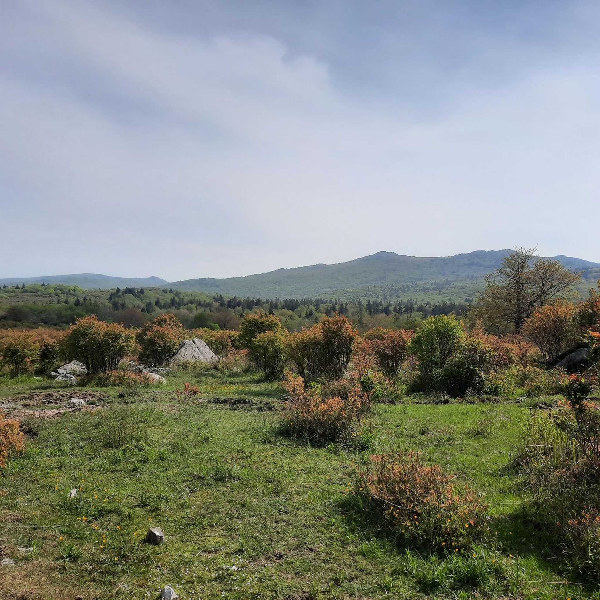
MTB Trails in Lewis Fork Wilderness
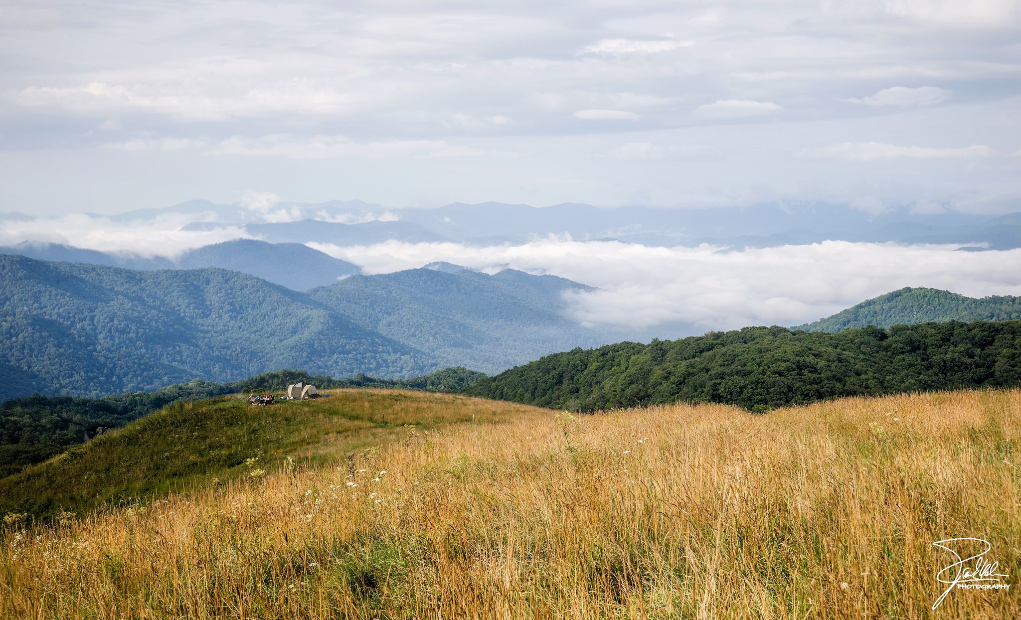
The Appalachian Trail — America's most iconic long-distance hike
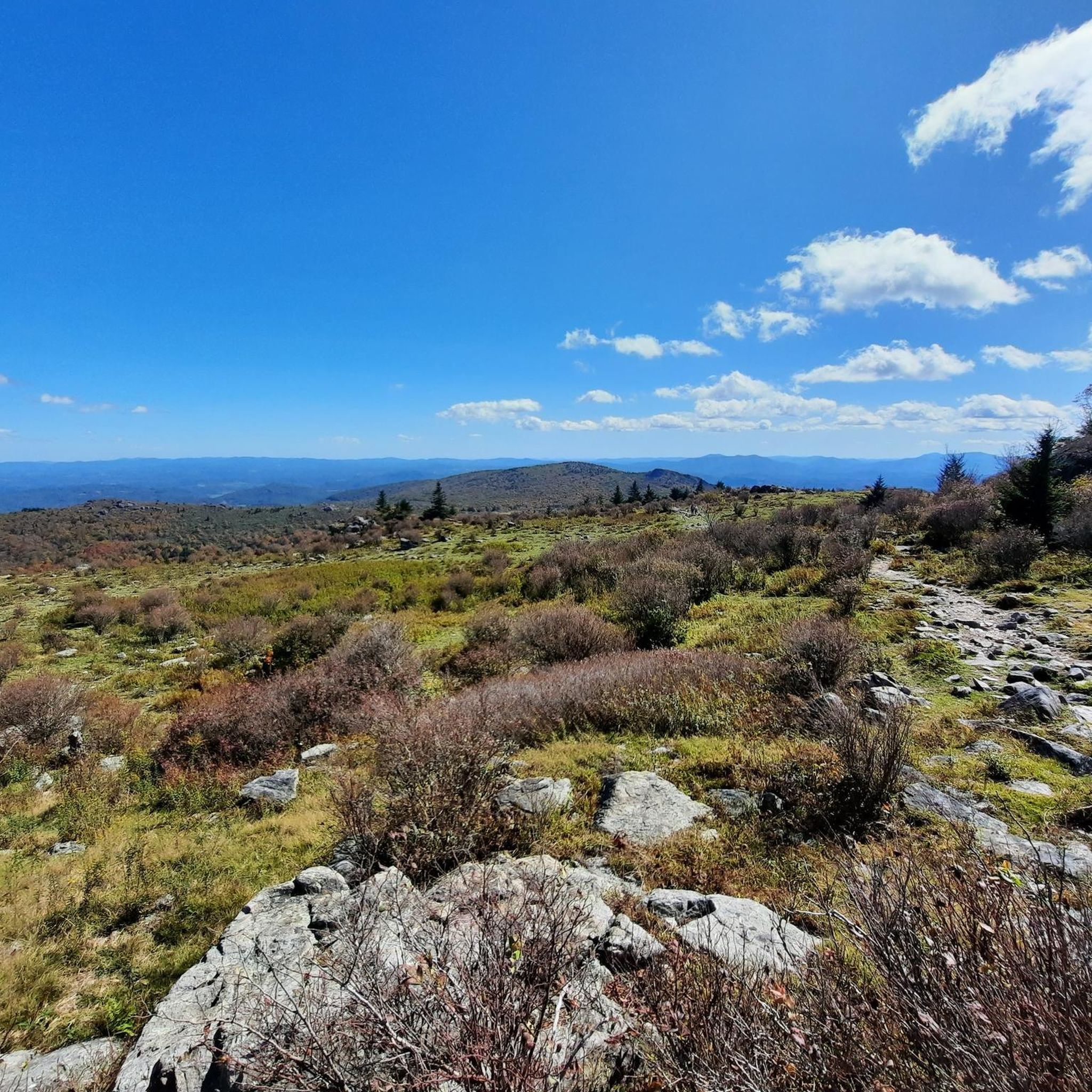
Hiking in Mount Rogers National Recreation Area

Running Trails in Mount Rogers National Recreation Area

Cycling in Mount Rogers National Recreation Area

Road Cycling Routes in Mount Rogers National Recreation Area

Gravel biking in Mount Rogers National Recreation Area
Other adventures in Mount Rogers National Recreation Area

Tips from the Community

Nice Visitor Center with Picnic Area, Rocking Chairs, Souvenir Shop and small Exhibit about farm life of the past.
0
0

The Virginia Creeper Trail is one of the premier rails-to-trails works in the county. For nearly 35 miles of converted railroad hikers, bikers, and runners can explore the wilderness at their own pace. This particular section follows along the path of Whitetop Laurel Creek, with a number of bridges as the path and creek cross each other at the bottom of the valley.
0
0
The Virginia Creeper Trail crosses the Holston River at the confluence of its Middle and South Forks. An impressive wooden bridge crosses the river and makes for dramatic photo opportunities.
0
0
If you're looking for a hike in Damascus then you should start here in the city park. Not only does the Appalachian Trail pass through but so does the Virginia Creeper Trail. The Appalachian Trail will take you up to the ridgeline as you hike out of town, while the Virginia Creeper Trail sticks to the low ground and follows the creek through the valley.
1
0
This is a small brewery in a small town but they make excellent brews. Keep in mind they don't serve any food, though there is a food truck here at certain times. If you're passing by on the Virginia Creeper Trail this brewery is worth a stop.
0
0

The Fries Section of the New River Trail starts in town and travels for 5.5 miles until its intersection with the main New River trail at Fries Junction. Like the rest of the New River Trail, this path consists of entirely crushed gravel and is suitable for pretty much all bikes.
0
0

The Virginia Creeper Trail has one of its terminuses just south of Whitetop, the other is in Abingdon. The trail spans about 34.3 miles, reaching from Abingdon, Virginia, to the North Carolina state line near Whitetop Station, which is here!
0
0
Whitetop Mountain is the second-highest peak and the highest public peak in Virginia. The peak offers breathtaking views of three different states. This mountain has a summit at an elevation of 5,525 feet.
0
0
Frequently Asked Questions
How many mountain bike trails are available in Mount Rogers National Recreation Area?
Mount Rogers National Recreation Area offers a variety of mountain biking opportunities, with 9 distinct routes available on komoot. These range from easy rail trails to more challenging moderate paths.
What kind of terrain can I expect when mountain biking in Mount Rogers National Recreation Area?
The area is known for its diverse terrain, from high-elevation environments with spruce-fir forests to expansive mountain balds and open meadows. You'll find a mix of easy, mostly flat rail trails and more challenging sections with rocky and root-filled paths, especially around areas like Rhododendron Gap. The region encompasses Virginia's highest peaks, offering significant elevation changes on some routes.
Are there family-friendly mountain bike trails in Mount Rogers National Recreation Area?
Yes, the area features several family-friendly options, particularly the rail trails. The Virginia Creeper Trail: Green Cove to North Carolina border is an easy, mostly flat path suitable for all skill levels, offering a relaxed cycling experience through scenic landscapes. Another easy option is the New River Trail: Fries Section.
Are there any challenging mountain bike routes for experienced riders?
While there are no routes rated as 'difficult' in our current selection, several moderate trails offer a good challenge. The Grayson Highlands Visitor Center via Scales Road is a longer, moderate route with significant elevation gain. The region also features challenging terrain like 'rock gardens' in areas such as Rhododendron Gap, which offers some of the highest legally accessible mountain biking east of the Mississippi.
Are there any circular mountain bike routes in the area?
Yes, there are several loop options available. A popular choice is the Virginia Highlands Horse Trail & Crest Trail loop — Grayson Highlands State Park, which provides varied terrain and takes you through areas known for mountain balds and wild ponies. Another moderate loop is the Wilburn Branch Trail & Sugarland Overlook loop.
What natural attractions or landmarks can I see along the mountain bike trails?
The Mount Rogers National Recreation Area is rich in natural beauty. You might encounter wild ponies, especially around Grayson Highlands State Park. The area also features unique spruce-fir forests, expansive mountain balds, and lively trout streams. Notable landmarks include Whitetop Mountain, offering breathtaking views, and the distinctive ecosystem around Mount Rogers Summit (though biking is restricted on the summit itself). You can also find picturesque waterfalls like Comers Creek Falls in the wider region.
What is the best time of year to go mountain biking in Mount Rogers National Recreation Area?
The Mount Rogers National Recreation Area offers diverse conditions throughout the year. Spring and fall generally provide pleasant temperatures and vibrant scenery, with fall foliage being particularly stunning. Summers can be warm but the higher elevations offer some respite. Winters can bring snow and colder temperatures, making some trails less accessible or requiring specialized gear.
Can I bring my dog on the mountain bike trails?
Many trails within the Mount Rogers National Recreation Area are multi-use and generally dog-friendly, but it's always best to check specific trail regulations before you go. Dogs should typically be kept on a leash to protect wildlife and ensure the safety of other trail users and the free-roaming wild ponies.
Are there any places to explore near the mountain bike trails?
Absolutely! The Mount Rogers National Recreation Area is surrounded by attractions. Grayson Highlands State Park, adjacent to the NRA, is famous for its wild ponies and mountain balds. The town of Damascus, known as 'Trail Town USA,' is a hub for outdoor activities and where the Virginia Creeper Trail passes through. You can also explore the Troutdale area.
What do other mountain bikers enjoy the most about mountain biking in Mount Rogers National Recreation Area?
The area is highly rated by the komoot community, with an average score of 4.5 stars from more than 4 reviews. Reviewers often praise the diverse terrain, from scenic rail trails to challenging mountain paths, and the unique natural beauty, including the wild ponies and high-elevation landscapes. The variety of routes caters to different skill levels, making it a popular destination for many.
Are there any trails that lead to high-elevation viewpoints?
Yes, the region is known as the 'rooftop of Virginia' and offers several high-elevation experiences. While Mount Rogers summit is in a Wilderness Area and off-limits to bikes, routes like Whitetop Mountain via Mud Creek Lane can lead you towards Virginia's second-highest peak, offering incredible views. Rhododendron Gap is also noted for providing challenging terrain and views from the ridgeline at one of the highest points legally accessible to mountain bikes east of the Mississippi.
Most popular routes in Mount Rogers National Recreation Area
Most popular attractions in Mount Rogers National Recreation Area

Get inspired with the komoot mobile app


Didn’t find what you were looking for?
Check out more MTB trails throughout Mount Rogers National Recreation Area below and find the perfect route in your destination.
