The best road cycling routes in Moosalamoo National Recreation Area
5.0
(1)
101
riders
12
rides
Road cycling routes in Moosalamoo National Recreation Area traverse a diverse landscape within the Green Mountain National Forest in Vermont. The region features rolling hills, forested areas, and scenic roads that connect to charming towns. Cyclists encounter a mix of terrain, including mostly paved surfaces, with elevation changes ranging from gentle ascents to challenging climbs on mountain passes. The area also includes natural features such as lakes and waterfalls, providing varied scenery for road cyclists.
Best road cycling routes in…
Last updated: July 12, 2026
26
riders
41.9km
01:54
350m
350m
Moderate road ride. Good fitness required. Mostly well-paved surfaces and easy to ride.
19
riders
22.3km
00:57
180m
180m
Easy road ride. Great for any fitness level. Mostly well-paved surfaces and easy to ride.

Sign up for free
4
riders
47.1km
02:01
390m
390m
Moderate road ride. Good fitness required. Mostly well-paved surfaces and easy to ride.
6
riders
70.8km
03:07
710m
710m
Moderate road ride. Good fitness required. Mostly well-paved surfaces and easy to ride.
4
riders
27.6km
01:42
230m
230m
Moderate road ride. Great for any fitness level. Some segments of this route may be unpaved and difficult to ride.
4
riders
34.2km
01:32
270m
270m
Easy road ride. Great for any fitness level. Mostly well-paved surfaces and easy to ride.
4
riders
60.0km
02:35
500m
500m
Moderate road ride. Good fitness required. Mostly well-paved surfaces and easy to ride.
Get access to more routes and recommendations from other explorers.
Sign up for free
Already have an account?
Our route recommendations are based on thousands of hikes, rides, and runs completed by other people on komoot.
Start today with a free account
Your next adventure awaits.
Login or Signup
Popular around Moosalamoo National Recreation Area
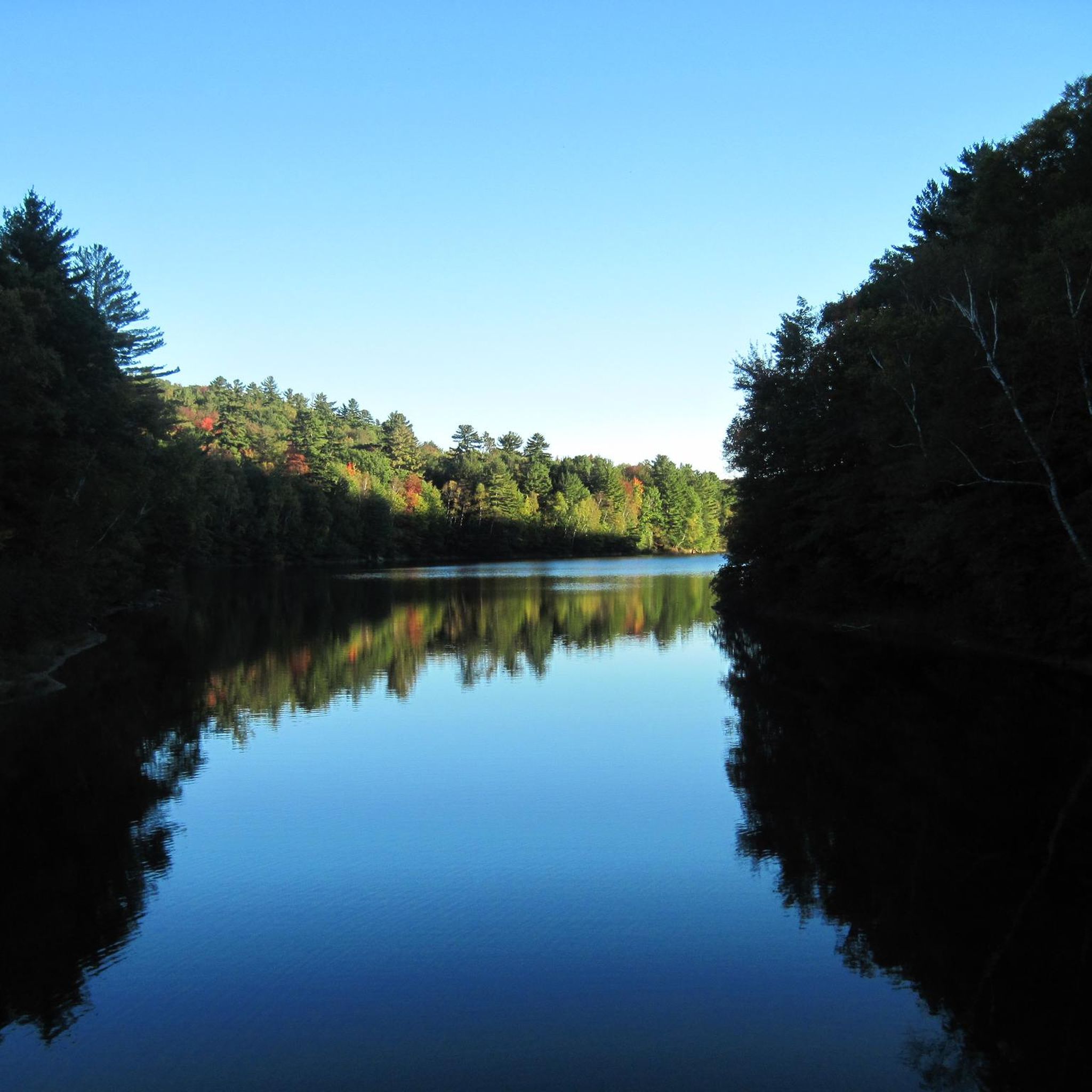

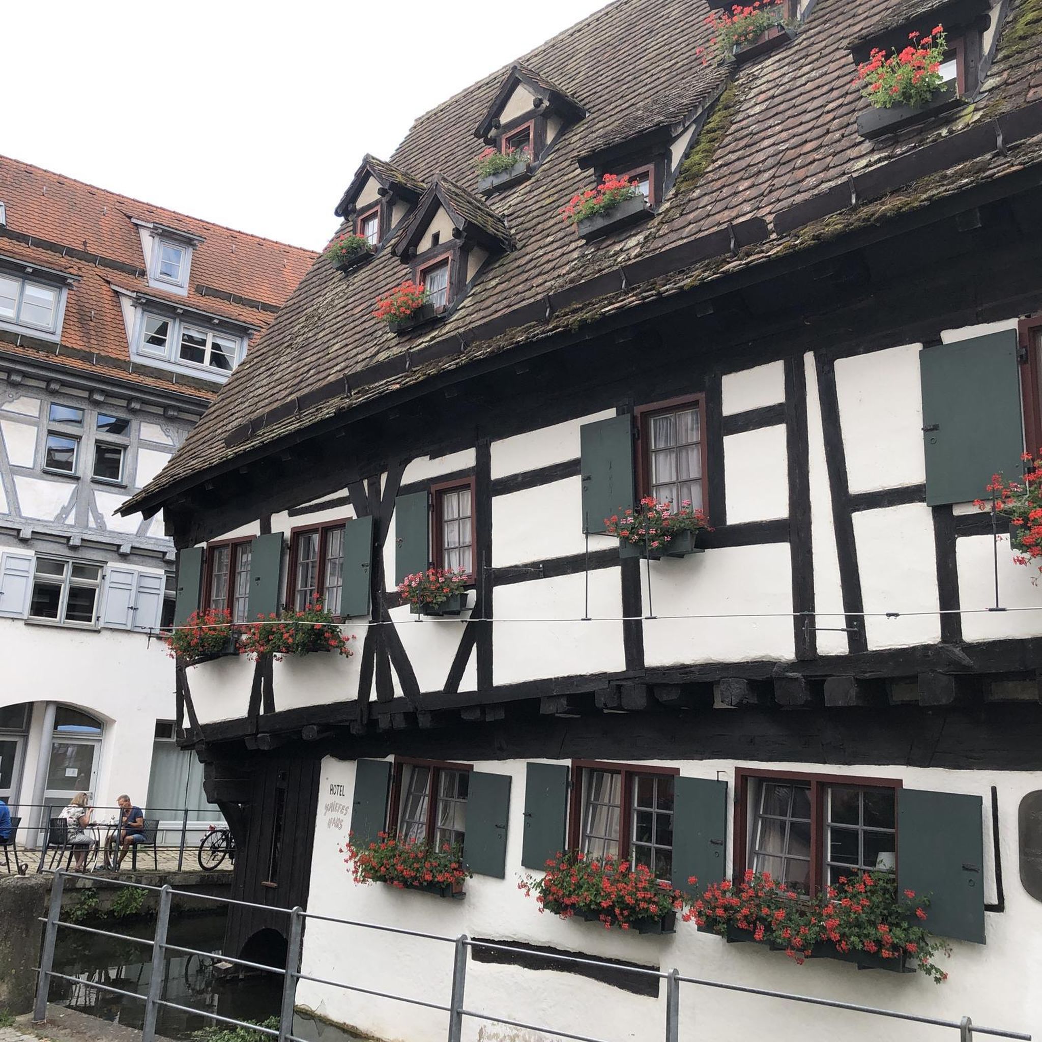
Tips from the Community

Forest Dale is a small community with a church, post office, and historic early-1800s ironworks, the ruins of which can be found on the northeast side of town. The Junction Store & Deli is open 7am-7pm most days if you want to grab a bite before continuing on your ride.
0
0

A very beautiful area along farms
5
0

Gorham Covered Bridge is a lattice truss bridge that spans Otter Creek and was constructed in 1841 and was later listed on the National Register of Historic Places in 1974.
0
0
Frequently Asked Questions
How many road cycling routes are available in Moosalamoo National Recreation Area?
The Moosalamoo National Recreation Area offers a diverse selection of road cycling routes. There are currently 10 routes available, catering to various fitness levels and preferences.
What is the best time of year for road cycling in Moosalamoo National Recreation Area?
The best time for road cycling in Moosalamoo National Recreation Area is typically from late spring through fall. The fall foliage season, in particular, offers spectacular views, especially along scenic byways like Vermont Route 125 (Middlebury Gap Road). Cyclists should be aware that road conditions can vary, and it's always wise to check for potential broken pavement or frost heaves, especially after winter.
Are there any challenging road cycling routes for experienced riders?
Yes, for experienced riders seeking a challenge, the region offers routes with significant elevation gains. The Leicester – Richville Lake loop from Branbury State Park is a moderate route covering over 70 km with more than 700 meters of elevation gain, providing a substantial workout. Additionally, the Middlebury Gap and Brandon Gap mountain passes, while not specific komoot routes in this guide, are known locally for their demanding ascents on paved surfaces.
Are there any family-friendly or easy road cycling options?
Absolutely. For families or those preferring a more relaxed ride, there are several easy options. The Leicester loop from Branbury State Park is an easy 22.3 km path with minimal elevation, suitable for all fitness levels. Another easy choice is the Wainwright Hill loop from Branbury State Park, which is 34.2 km with moderate elevation.
What kind of terrain can I expect on road cycling routes in Moosalamoo National Recreation Area?
Road cycling routes in Moosalamoo National Recreation Area primarily feature mostly paved surfaces, traversing a diverse landscape within the Green Mountain National Forest. You'll encounter rolling hills, forested areas, and scenic roads. While many routes are paved, be prepared for varying road conditions, including potential broken pavement or potholes, especially on less-traveled sections.
What natural features or landmarks can I see along the road cycling routes?
The region is rich in natural beauty. Cyclists can enjoy continuous views of the Green Mountains, pass by secluded lakes like Lake Dunmore and Silver Lake, and ride through diverse hardwood and softwood forests. Vermont Route 125 (Middlebury Gap Road) is a designated State Scenic Road, offering particularly inspiring rides with mountain vistas. The Robert Frost Interpretive Trail is also accessible along VT-125, providing a unique cultural stop.
Are there any circular road cycling routes?
Yes, many of the road cycling routes in Moosalamoo National Recreation Area are designed as loops, allowing you to start and end at the same point. Examples include the Scenic Area Near Farms – Leicester loop from East Middlebury and the Forest Dale – Miller Hill loop from Branbury State Park, both offering varied scenery on circular paths.
Where can I find parking for road cycling routes?
Many routes start from accessible locations with parking. For instance, several popular loops, such as the Leicester loop and the Leicester – Richville Lake loop, begin from Branbury State Park, which typically offers parking facilities. Routes originating from towns like East Middlebury or Brandon also provide convenient starting points with potential parking options.
Are there any towns or places to stop for refreshments along the routes?
Yes, road cycling routes in the Moosalamoo National Recreation Area often pass through or near charming Vermont towns. Middlebury and Rochester are notable examples, offering opportunities for breaks, refreshments, and to experience local culture. Middlebury itself features the unique Middlebury Falls in the town center, making for an interesting stop.
What do other road cyclists enjoy most about road cycling in Moosalamoo National Recreation Area?
The Moosalamoo National Recreation Area is highly rated by the komoot community, with an average score of 5.0 stars. Reviewers often praise the diverse landscapes, the mix of challenging climbs and easier loops, and the scenic beauty of the Green Mountains and forested areas. The well-maintained paved surfaces on many routes are also frequently highlighted.
Are there any specific routes that offer particularly scenic views?
For breathtaking views, consider routes that incorporate Vermont Route 125 (Middlebury Gap Road). This State Scenic Road is renowned for its beautiful vistas, especially during the fall foliage season, offering mountain views and rides through wooded areas. The Gorham Covered Bridge loop from Brandon also provides scenic stretches through rural landscapes.
Do I need any permits for road cycling in Moosalamoo National Recreation Area?
Generally, no specific permits are required for road cycling on public roads within the Moosalamoo National Recreation Area. However, if you plan to access any state parks or private lands that your route might traverse, it's always advisable to check their specific regulations or entrance fees.
Most popular routes in Moosalamoo National Recreation Area

Get inspired with the komoot mobile app


Explore more
Browse the best Road cycling routes in other regions.
