San Gabriel Mountains National Monument
San Gabriel Mountains National Monument
The best road cycling routes in San Gabriel Mountains National Monument
4.6
(74)
4,857
riders
117
rides
Road cycling in San Gabriel Mountains National Monument offers varied landscapes, from rugged canyons and river valleys to majestic peaks and oak woodlands. This expansive region, a significant green space near Los Angeles, features diverse terrain suitable for different cycling experiences. Cyclists can encounter shifts from high alpine environments to more arid, desert-like conditions within its boundaries. The monument provides a range of road cycling opportunities, from accessible paved paths to challenging mountain ascents.
Best road cycling routes in San…
Last updated: August 29, 2026
5.0
(1)
250
riders
60.5km
03:40
1,320m
1,320m
Hard road ride. Very good fitness required. Mostly well-paved surfaces and easy to ride.
62.1km
03:52
1,460m
1,460m
Hard road ride. Very good fitness required. Some segments of this route may be unpaved and difficult to ride.

Sign up for free
259
riders
119km
07:16
2,840m
2,840m
Hard road ride. Very good fitness required. Mostly well-paved surfaces and easy to ride.
5.0
(2)
198
riders
Moderate road ride. Good fitness required. Some segments of this route may be unpaved and difficult to ride.
5.0
(6)
166
riders
Easy road ride. Great for any fitness level. Mostly well-paved surfaces and easy to ride.
5.0
(2)
141
riders
Moderate road ride. Good fitness required. Mostly well-paved surfaces and easy to ride.
5.0
(2)
241
riders
71.3km
04:31
1,630m
1,630m
Hard road ride. Very good fitness required. Mostly well-paved surfaces and easy to ride.
5.0
(1)
79
riders
41.3km
02:03
610m
610m
Moderate road ride. Good fitness required. Mostly well-paved surfaces and easy to ride.
61
riders
135km
08:54
3,420m
3,420m
Hard road ride. Very good fitness required. Mostly well-paved surfaces and easy to ride.
151
riders
Moderate road ride. Good fitness required. Mostly well-paved surfaces and easy to ride.
Get access to more routes and recommendations from other explorers.
Sign up for free
Already have an account?
Our route recommendations are based on thousands of hikes, rides, and runs completed by other people on komoot.
Start today with a free account
Your next adventure awaits.
Login or Signup
Popular around San Gabriel Mountains National Monument
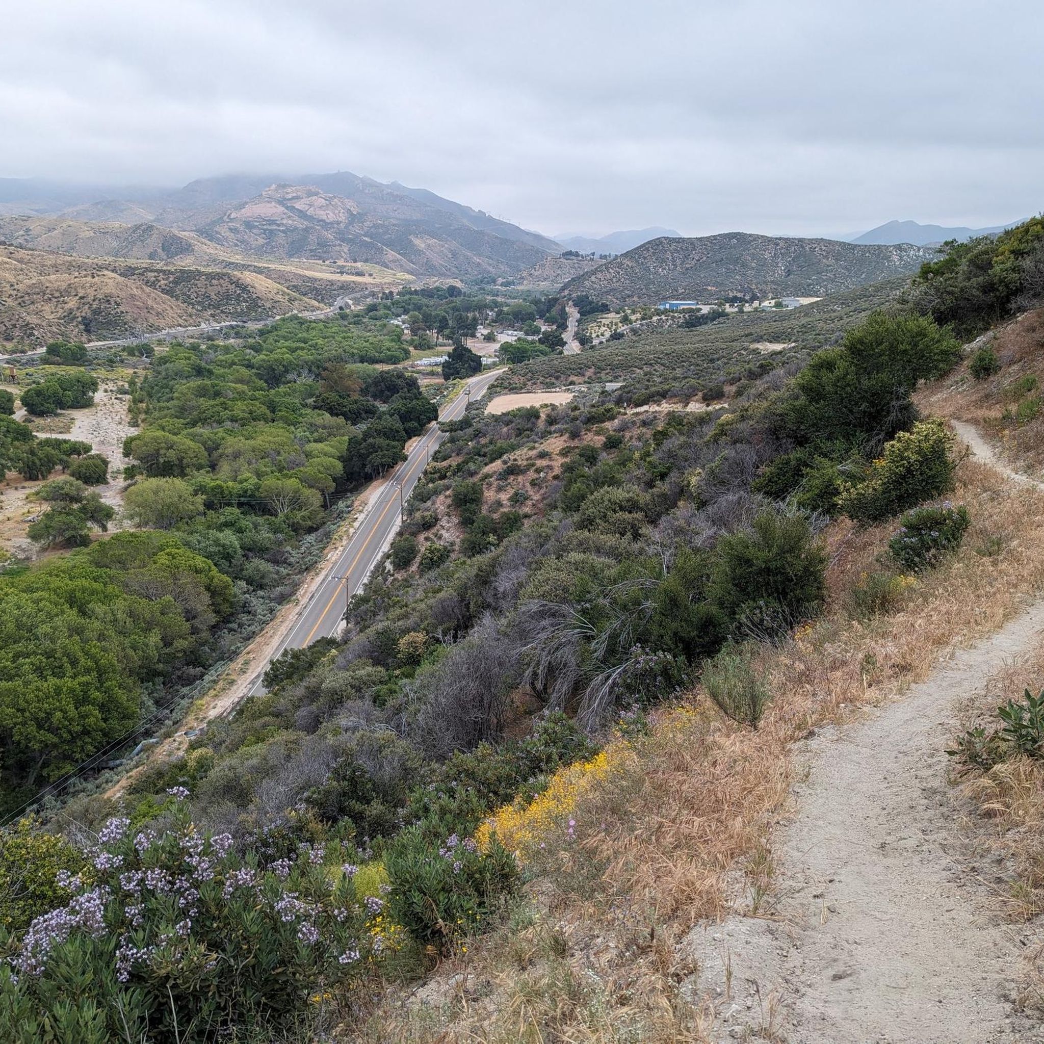
Road Cycling Routes in Magic Mountain Wilderness

Pacific Crest Trail from Mexico to Canada – 4,200 kilometres of wilderness
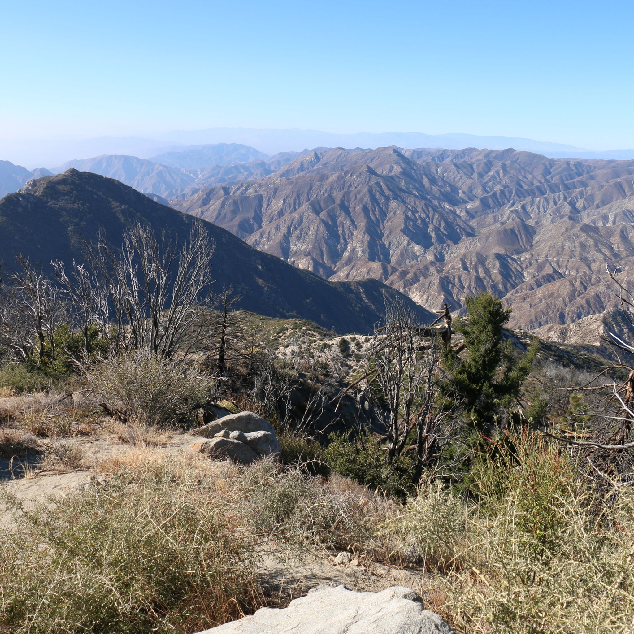
Hiking in San Gabriel Mountains National Monument
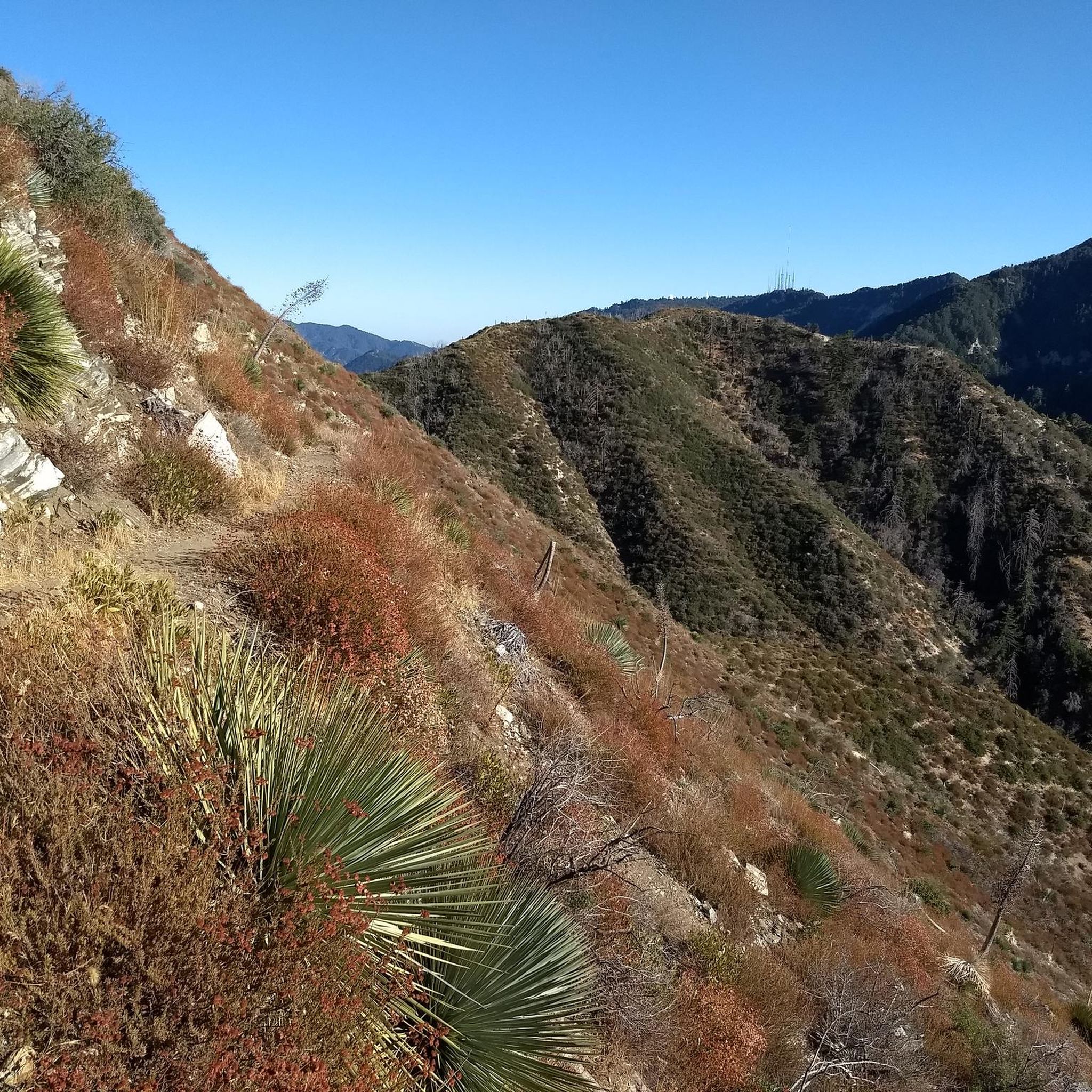
MTB Trails in San Gabriel Mountains National Monument
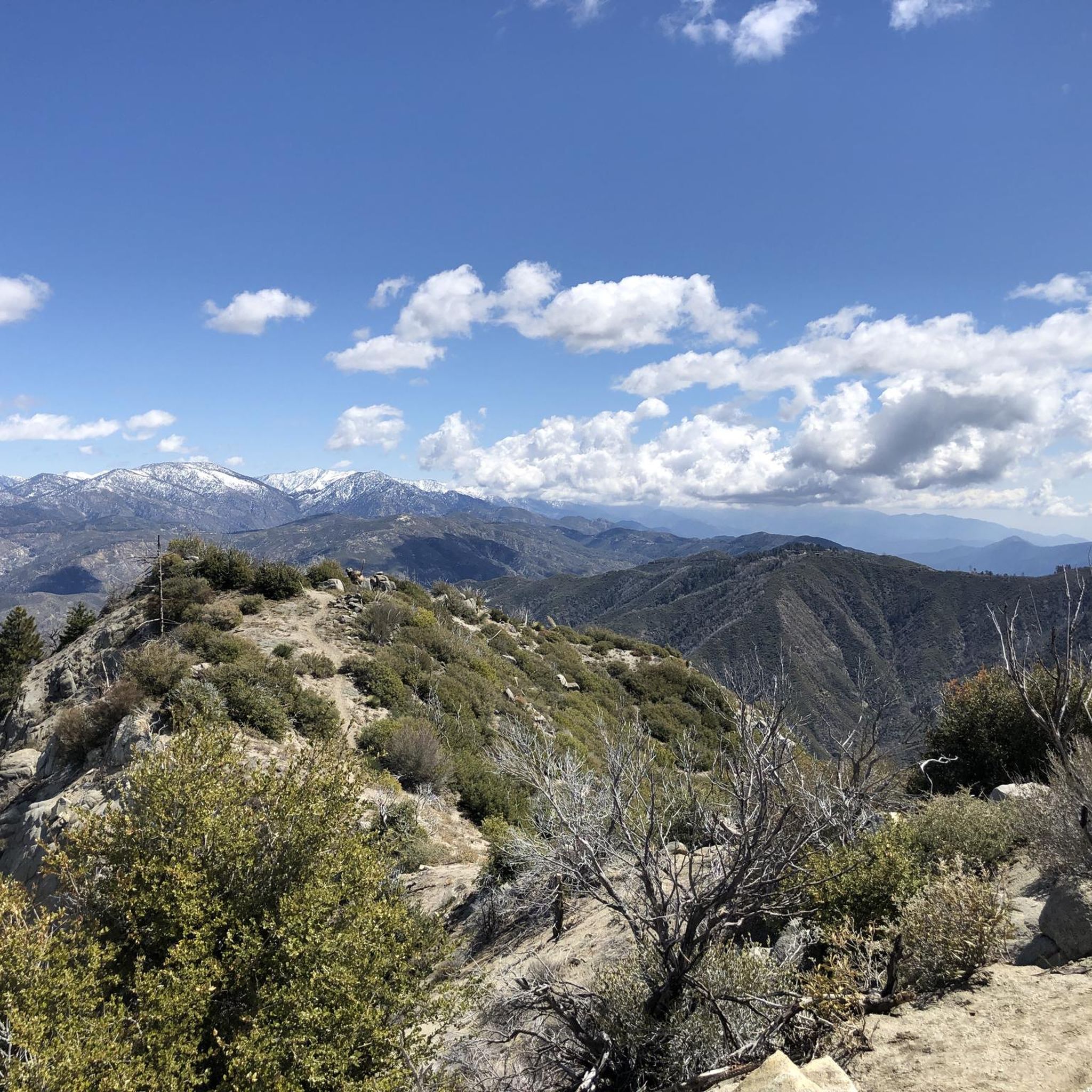
Running Trails in San Gabriel Mountains National Monument
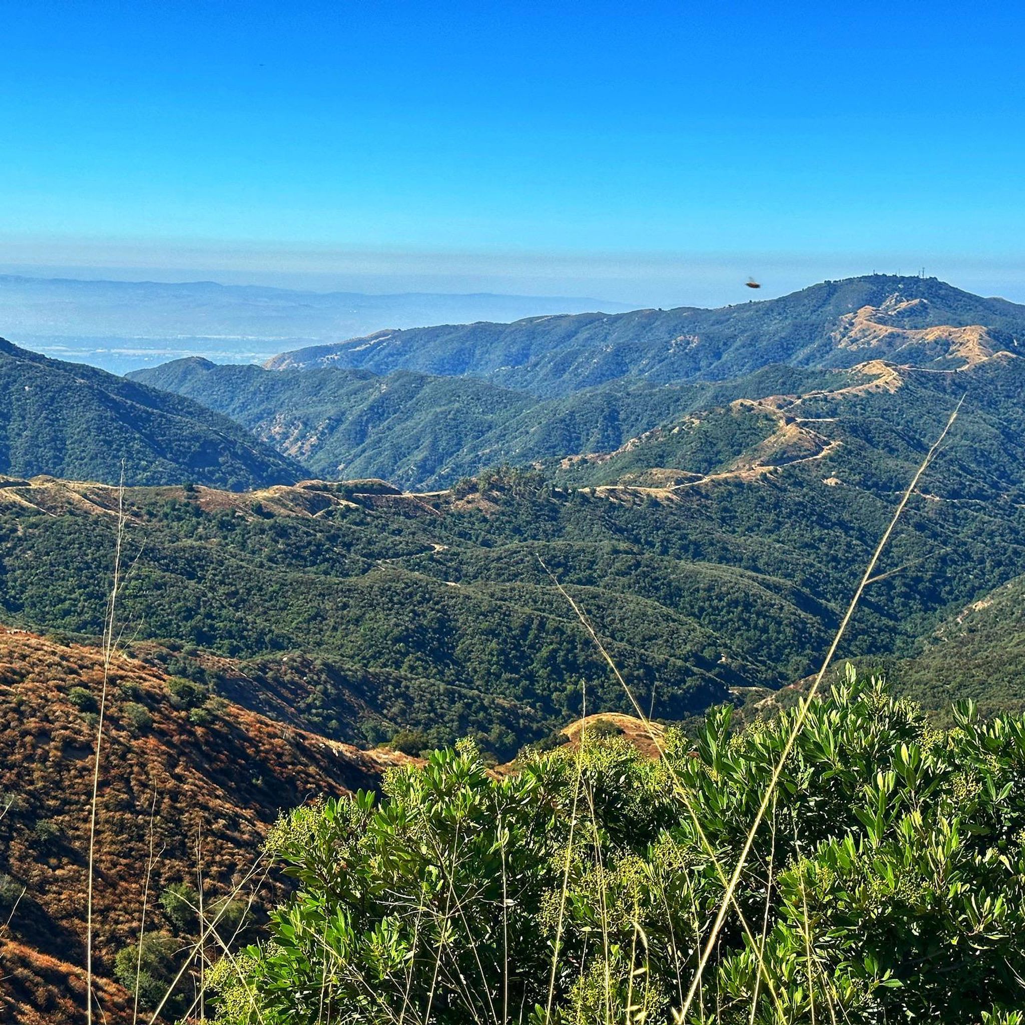
Cycling in San Gabriel Mountains National Monument
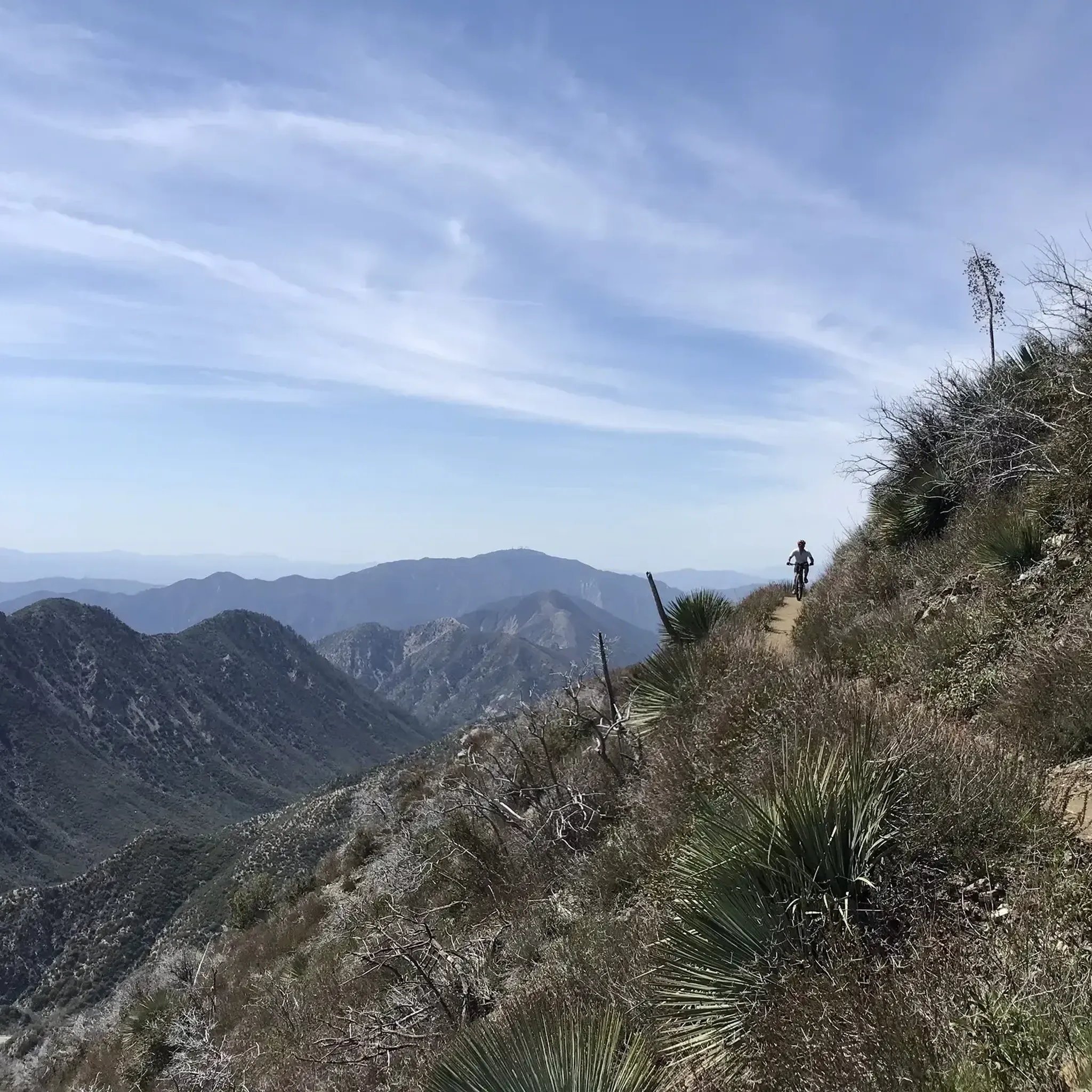
Gravel biking in San Gabriel Mountains National Monument
Other adventures in San Gabriel Mountains National Monument

Tips from the Community

Sometimes there's a good-sized pool of water in this basin; most of the time, though, it's a boggy sort of wetland. Either way it's home to an interesting riparian, sage scrub and southern oak habitat.
0
0

The San Gabriel Dam is a rock‑fill structure completed in 1939 on the San Gabriel River and is used for flood control.
0
0

San Gabriel Reservoir is a good place to end your route across the mountains, with dramatic views and wide open space. The road curves above the reservoir, making it a great spot to catch your breath and take in the landscape. Early mornings are quieter and cooler—perfect for a break during a long climb.
0
0

Nice bike path. not much roads to cross. some are hilly but doable for newbies. It's our first time and we had a good time. just some areas are with a lot of homeless people, esp. the tunnels.
0
0
Great view from the cycle path of the San Gabriel Mountains in the distance.
0
0
This is where you leave Crystal Lake Road to get to Crystal Lake. Crystal Lake is a beautiful lake in the San Gabriel Mountains. If you want to stay the night, there are campsites on the banks of the lake.
0
0

Mount Baldy Village & ski resort towers above the San Gabriel Valley & Los Angeles suburbs and is a lovely alpine community with a wonderful restaurant and a pub. It's a great place to stop, take in the incredible scenery, and refuel during your ride.
0
0

The climb up Mount Baldy is a serious challenge, starting with a moderate grade that quickly intensifies as you ascend. As you pass through the village, the road narrows and steepens, with sections reaching 10-14% gradients and tight switchbacks that demand your focus. The final stretch to the summit, used in the Tour of California, offers a tough alpine ascent that tests even the most seasoned climbers.
0
0
Frequently Asked Questions
What is the overall difficulty level for road cycling in San Gabriel Mountains National Monument?
The San Gabriel Mountains National Monument offers a wide range of road cycling experiences. You'll find everything from easy, relatively flat rides through river valleys to challenging mountain ascents with significant elevation gain. Out of over 110 routes, about a third are considered easy, half are moderate, and the remaining are difficult, catering to all skill levels.
Are there any family-friendly road cycling routes in the San Gabriel Mountains National Monument?
Yes, the monument offers several family-friendly options. The San Gabriel River Greenway – Santa Fe Flood Control Basin loop from Glendora is an easy 22.5-mile route through river valleys. Additionally, the West Fork National Scenic Bikeway, while not explicitly listed in the routes, is a paved utility access road ideal for families, offering a relaxed ride alongside the West Fork San Gabriel River with restricted automobile use.
What kind of natural attractions or landmarks can I see while road cycling in the San Gabriel Mountains National Monument?
Road cycling routes in the monument offer diverse scenery, from rugged canyons and river valleys to majestic peaks. You can encounter significant natural monuments like Mount San Antonio ("Mt. Baldy"), Mount Baden-Powell, and Mount Islip. During the rainy season, the West Fork National Scenic Bikeway features beautiful waterfalls. The area also includes historical sites and the notable Mount Wilson Observatory.
What are some of the more challenging road cycling climbs in the region?
For experienced road cyclists, the San Gabriel Mountains provide formidable challenges. Iconic climbs include Mount Baldy, known for its significant elevation gain, and Glendora Mountain Road, which is considered one of the most scenic. Routes like Mount Gleason Loop and Rubel Castle – Little Dalton Debris Basin loop from APU/Citrus College are classified as difficult, featuring substantial climbs through mountainous terrain.
When is the best time of year to go road cycling in the San Gabriel Mountains National Monument?
The San Gabriel Mountains National Monument generally offers year-round cycling weather. However, occasional snowfall can occur at higher elevations during winter months. For the most comfortable conditions and to avoid potential snow on higher passes, spring through fall is often ideal. You can experience dramatic shifts in climate and scenery, even within a single ride, from high alpine to more desert-like conditions.
Are there any circular road cycling routes available?
Yes, many road cycling routes in the San Gabriel Mountains National Monument are designed as loops. Examples include the challenging Mount Gleason Loop, the extensive Rubel Castle – Little Dalton Debris Basin loop from APU/Citrus College, and the easier San Gabriel River Greenway – Santa Fe Flood Control Basin loop from Glendora. These loops allow you to start and finish at the same point, offering varied scenery throughout your ride.
Where can I find parking for road cycling routes in the San Gabriel Mountains National Monument?
While specific parking areas for all routes are not detailed, the monument is easily accessible, located just 90 minutes from Los Angeles. Many routes start from towns like Glendora or Azusa, where public parking may be available. For routes accessing higher elevations, you might find designated parking areas such as the Vincent Gap - Mount Baden-Powell Trailhead.
What do other road cyclists enjoy most about cycling in the San Gabriel Mountains National Monument?
The area is highly rated by the komoot community, with an average score of 4.5 stars from over 60 reviews. Cyclists often praise the varied landscapes, from rugged canyons to majestic peaks, and the diverse terrain suitable for different cycling experiences. The opportunity to transition from high alpine environments to more arid conditions within a single ride is also frequently highlighted.
Are there any cafes or places to stop for refreshments along the road cycling routes?
While the monument offers a respite from urban life, some routes pass through or near towns where you can find amenities. For instance, the Syndicate Coffee – Old Town Monrovia loop from APU/Citrus College suggests a route that includes a coffee stop. It's advisable to check specific route details for towns or facilities along your chosen path.
How many road cycling routes are available in the San Gabriel Mountains National Monument?
There are over 110 road cycling routes available in the San Gabriel Mountains National Monument. These routes offer a wide variety of distances, elevation gains, and difficulty levels, ensuring options for every type of road cyclist.
Can I experience significant elevation changes on road cycling routes here?
Absolutely. The San Gabriel Mountains National Monument is known for its challenging climbs and significant elevation gains. Routes like the Rubel Castle – Little Dalton Debris Basin loop from APU/Citrus College feature over 2,700 meters of ascent, while the Upper Bear Creek Trailhead – Crystal Lake Recreation Area loop from Azusa Downtown includes over 2,000 meters of climbing, providing ample challenge for those seeking a workout.
Most popular routes in San Gabriel Mountains National Monument
Most popular attractions in San Gabriel Mountains National Monument

Get inspired with the komoot mobile app


Didn’t find what you were looking for?
Check out more Road cycling routes throughout San Gabriel Mountains National Monument below and find the perfect route in your destination.
Explore more
Browse the best Road cycling routes in other regions.
