The best MTB trails in San Gabriel Mountains National Monument
4.8
(23)
690
riders
11
rides
Mountain biking in San Gabriel Mountains National Monument offers access to a vast and rugged landscape spanning over 346,000 acres, characterized by towering peaks, deep canyons, and diverse ecosystems. The region features a variety of terrain, including technical loose switchbacks, flowy sections, rock gardens, and decomposed granite. This area, part of the Angeles National Forest, provides a crucial natural respite for the Los Angeles Basin, with elevations ranging from canyon floors to prominent summits like Mount San Antonio. Its chaparral…
Last updated: August 31, 2026
4.5
(2)
18
riders
38.9km
03:36
1,190m
1,550m
Hard mountain bike ride. Very good fitness required. Suitable for all skill levels.
26
riders
24.8km
02:47
880m
880m
Moderate mountain bike ride. Good fitness required. Suitable for all skill levels.

Sign up for free
31
riders
22.3km
02:38
820m
820m
Moderate mountain bike ride. Good fitness required. Suitable for all skill levels.
5.0
(1)
10
riders
13.7km
01:20
330m
330m
Moderate mountain bike ride. Good fitness required. Suitable for all skill levels.
10
riders
20.9km
01:58
290m
1,460m
Hard mountain bike ride. Great for any fitness level. Advanced riding skills necessary. Some portions of the route may require you to push your bike.
1
riders
20.6km
03:07
1,300m
1,300m
Hard mountain bike ride. Very good fitness required. Advanced riding skills necessary. Some portions of the route may require you to push your bike.
58.6km
05:36
1,640m
1,640m
Hard mountain bike ride. Very good fitness required. Suitable for all skill levels.
57.4km
06:11
2,000m
2,000m
Hard mountain bike ride. Very good fitness required. Advanced riding skills necessary.
5.0
(1)
7
riders
39.4km
04:32
1,630m
1,620m
Hard mountain bike ride. Very good fitness required. Suitable for all skill levels.
3
riders
Moderate mountain bike ride. Good fitness required. Suitable for all skill levels.
Our route recommendations are based on thousands of hikes, rides, and runs completed by other people on komoot.
Start today with a free account
Your next adventure awaits.
Login or Signup
Popular around San Gabriel Mountains National Monument
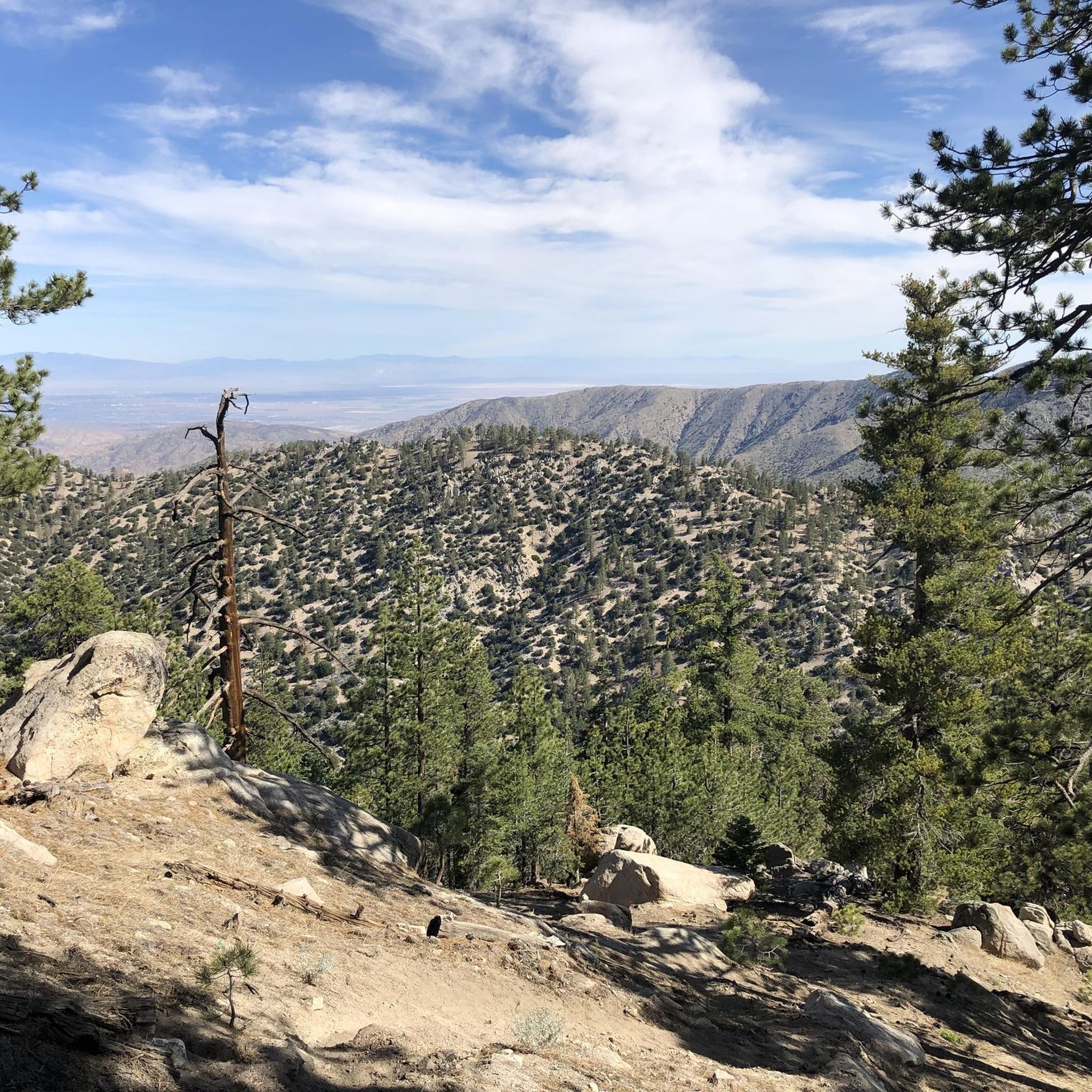
MTB Trails in San Gabriel Wilderness
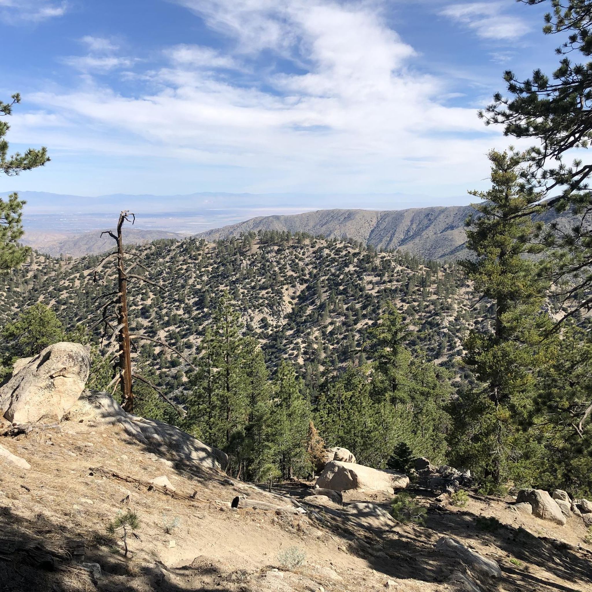
MTB Trails in Pleasant View Ridge Wilderness

MTB Trails in Magic Mountain Wilderness

Pacific Crest Trail from Mexico to Canada – 4,200 kilometres of wilderness
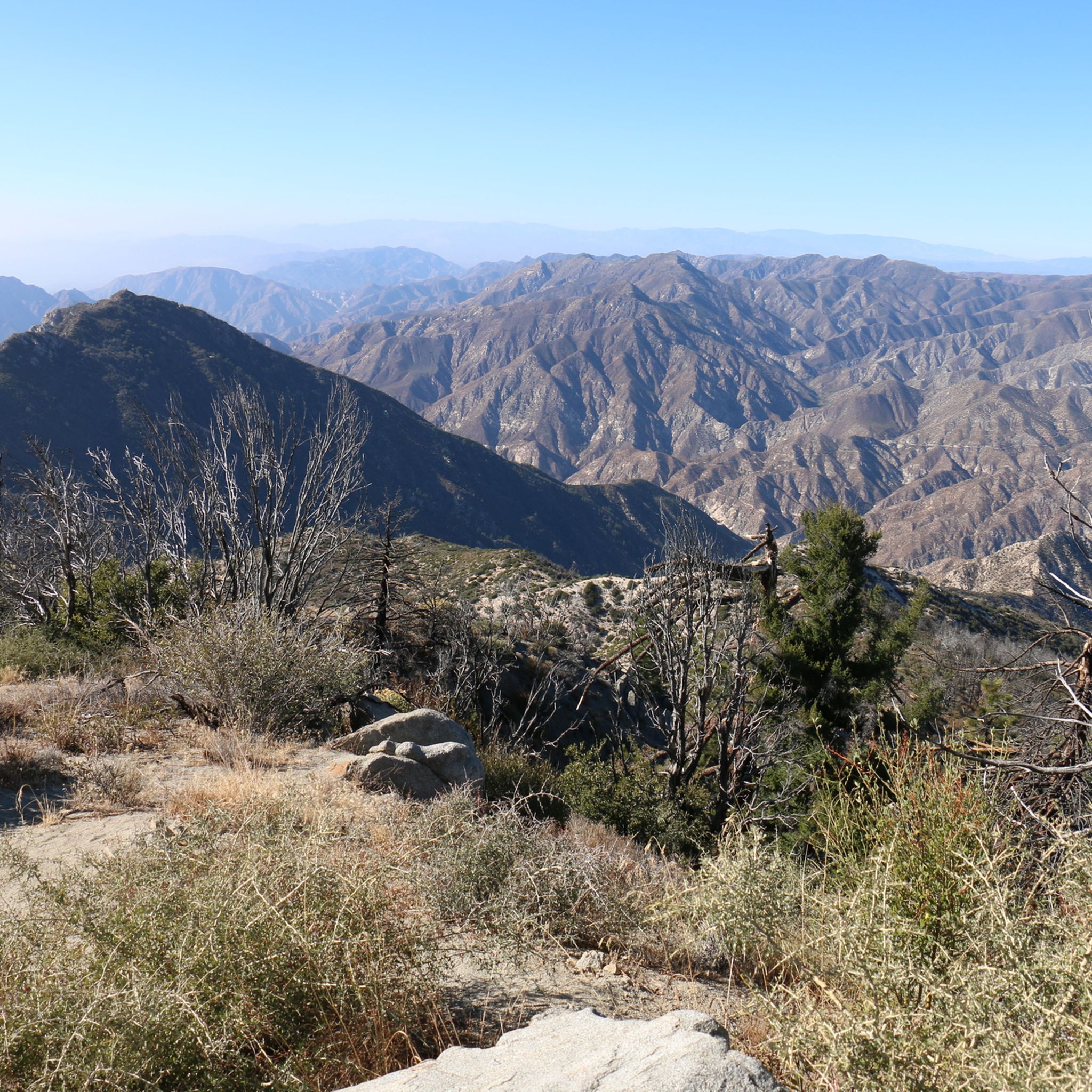
Hiking in San Gabriel Mountains National Monument
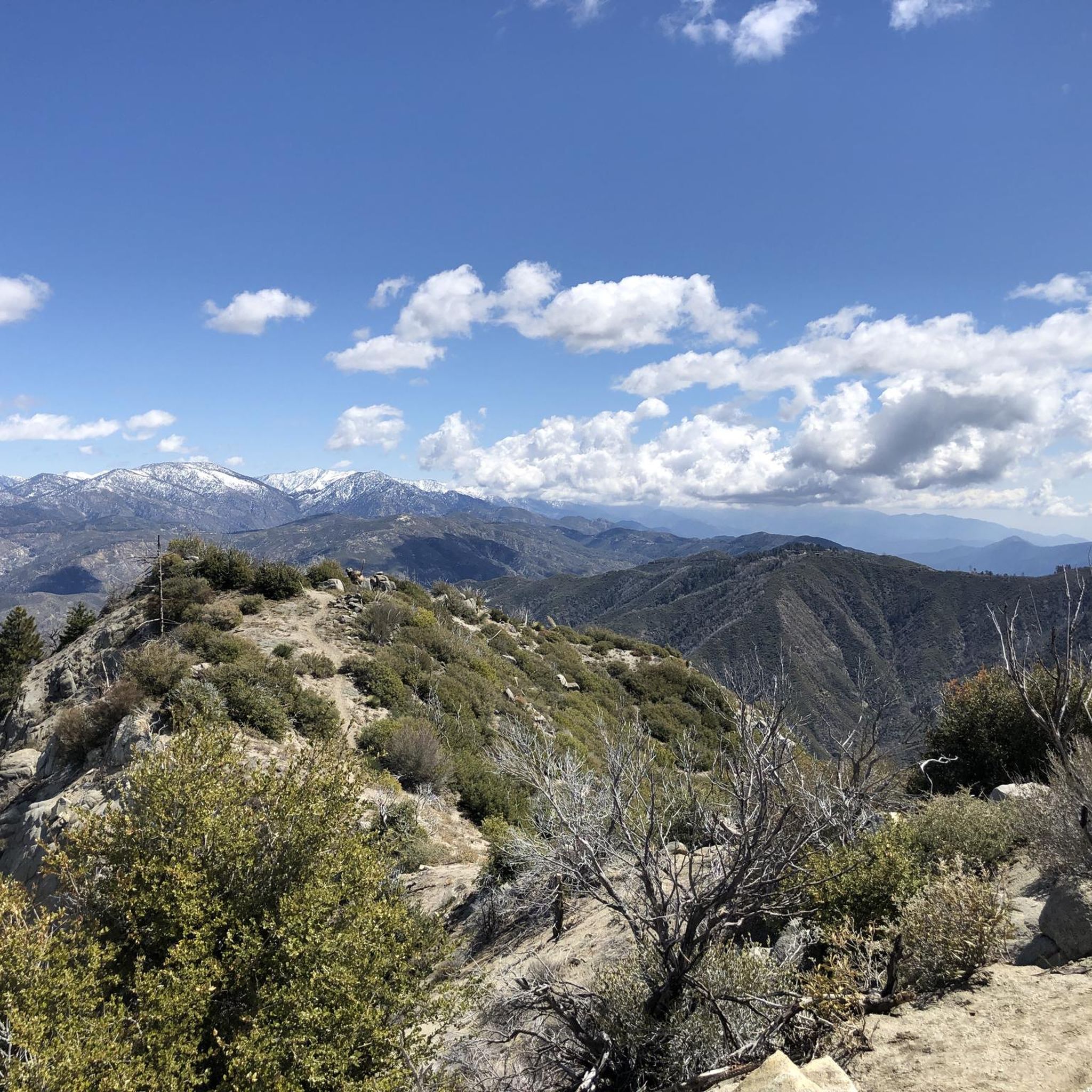
Running Trails in San Gabriel Mountains National Monument
Road Cycling Routes in San Gabriel Mountains National Monument
Cycling in San Gabriel Mountains National Monument
Gravel biking in San Gabriel Mountains National Monument
Other adventures in San Gabriel Mountains National Monument

Tips from the Community

Short tunnel on the eastern slope below San Gabriel Peak, part of the old Mt Lowe Motorway, that was never paved. The tunnel is very short, so you don't have to worry about bringing light. The road continues to the trailhead half a mile uphill.
0
0

From this spot, you can see the observatory on Mount Disappointment, along with views of the San Gabriel Mountains and Valley.
0
0
Henninger Flats sits along the road with views of Altadena. You’ll pass by it while climbing the Mt. Wilson Toll Road and can take a moment to catch your breath while enjoying the views. The route features a steady climb with minimal shade, so it’s best to start early, especially in summer. At the top, enjoy panoramic views of the San Gabriel Valley and explore the area, which includes a visitor center, picnic spots, and a tree nursery.
0
0

awesome trail. it was a bit windy but the views were amazing. 100% reccomend it
0
0

Explore the looped road around the summit of Mount Wilson, a prominent peak known for its historic Mount Wilson Observatory. The summit houses telescopes, solar towers, and the modern CHARA Array for stellar research. Standing at 5,710 feet, Mount Wilson offers sweeping views of the Los Angeles Basin, the Pacific Ocean, and the Channel Islands on clear days. This site also serves as a major broadcast hub for the Greater Los Angeles area, easy to see with the numerous antennas and relay facilities sticking out all over the summit.
1
0

Chantrey Flats is the natural end for those riding the Sturtevant Trail. If you shuttled to Mt. Wilson with a friend then this is likely the end of the line for you. Others might need to ride back down to Altadena if they took the shuttle offered by SCOAoutdoors.net. And still others might be climbing their way back up to the top via the myriad of roads and trails that depart from this picnic area.
0
0
Sturtevant Trail is one of the most diverse bits of trail in the San Gabriel Mountains. On the way down you'll encounter technical loose switchbacks, flowy sections, rock gardens, decomposed granite, and plenty of roots. Beware that this is a multi-use trail and can be busy with hikers, especially on weekends. Early mornings are the best time to ride, but always watch your speed, particularly around blind corners.
0
0
The full Silver Moccasin Trail is nearly 14 miles of (mostly) downhill goodness. However, you can break it up into sections depending on your available time and fitness level. It's usually ridden downhill but as it is a multi-use trail you may encounter uphill hikers. Also, with this much downhill you'll likely want to ride this with a buddy so you can shuttle between the top and bottom.
0
0
Frequently Asked Questions
What types of mountain biking trails can I expect in San Gabriel Mountains National Monument?
The San Gabriel Mountains National Monument offers a wide variety of terrain, from technical loose switchbacks and rock gardens to flowy sections and decomposed granite. You'll find trails catering to different skill levels, including moderate paths and very difficult, long-distance routes. The landscape features towering peaks, deep canyons, and diverse vegetation like chaparral and oak woodland, providing a varied and engaging ride.
Are there any easy or beginner-friendly mountain bike trails in the San Gabriel Mountains National Monument?
While many trails in the monument are rated moderate to difficult, there are options that can be more accessible for beginners or those looking for a less strenuous ride. It's always recommended to check individual trail descriptions for specific difficulty ratings and elevation profiles to find a route that matches your skill level. Currently, there are no routes explicitly rated 'easy' in our selection, but some moderate trails might be suitable depending on your experience.
What are some challenging mountain bike trails for experienced riders in the San Gabriel Mountains National Monument?
Experienced riders seeking a challenge will find plenty of options. For instance, the Mount Gleason Loop is a difficult 36.4-mile (58.6 km) trail with significant elevation gain. Another demanding route is the Silver Moccasin Trail Loop, a difficult 35.7-mile (57.4 km) path requiring advanced skills. The Mount Wilson, Sturtevant, and Winter Creek Loop also presents a difficult 20.5-mile (33 km) ride with substantial climbing.
Are there any circular mountain bike routes in the San Gabriel Mountains National Monument?
Yes, several routes in the monument are designed as loops, allowing you to start and end at the same point. Examples include the challenging Mount Gleason Loop and the Mount Hillyer Loop, which is a moderate 8.5-mile (13.7 km) option. Another great choice is the Devil's Canyon Trailhead – Mount Hillyer loop from Mount Mooney.
What are some notable landmarks or attractions I can see while mountain biking in the San Gabriel Mountains National Monument?
The monument is rich with natural and historical landmarks. You can encounter majestic peaks like Mount San Antonio ("Mt. Baldy") and Strawberry Peak. The Bridge to Nowhere is a unique historical site, and the San Gabriel River East Fork Trail offers scenic views along the waterway. Additionally, the Mount Wilson Observatory, a significant scientific landmark, offers panoramic views and docent-led tours, adding a cultural dimension to your ride.
Are there any waterfalls accessible from mountain bike trails in the San Gabriel Mountains National Monument?
Yes, the San Gabriel Mountains National Monument is home to picturesque waterfalls. Sturtevant Falls in Big Santa Anita Canyon is a significant attraction. Fish Canyon Falls is another accessible natural wonder, with a free shuttle service available to its trailhead on Saturdays. While not directly on mountain bike trails, these natural features are often found in canyons adjacent to or near biking routes, making them excellent side trips.
What is the best time of year to go mountain biking in the San Gabriel Mountains National Monument?
The San Gabriel Mountains National Monument offers diverse conditions throughout the year. While many trails are accessible for much of the year, higher elevations, such as Mount San Antonio, receive substantial snowfall in winter, which can limit access. Spring and fall generally offer the most pleasant temperatures for riding. Summer can be hot, especially at lower elevations, so early morning rides are often preferred. Always check local weather and trail conditions before heading out.
What do other mountain bikers enjoy most about the San Gabriel Mountains National Monument?
The area is highly rated by the komoot community, with an average score of 4.8 stars from over 30 reviews. Reviewers often praise the monument's diverse terrain, from challenging climbs to technical descents, and the stunning panoramic views from its towering peaks. The variety of routes, catering to different skill levels, and the natural beauty of the canyons and forests are frequently highlighted as key attractions.
Is public transport available to access mountain bike trails in the San Gabriel Mountains National Monument?
While the San Gabriel Mountains National Monument is a crucial natural respite for the Los Angeles Basin, direct public transport options to many trailheads can be limited. Most visitors typically access the trails by car. It's advisable to research specific trailhead locations and check local public transportation schedules and routes if you plan to rely on public transport, as options may vary and require transfers.
Are there specific parking areas for mountain bikers in the San Gabriel Mountains National Monument?
Yes, many trailheads within the San Gabriel Mountains National Monument and the encompassing Angeles National Forest offer designated parking areas. For example, Vincent Gap - Mount Baden-Powell Trailhead is a known parking location. It's always recommended to check the specific trailhead you plan to visit for parking availability and any potential fees or permits required, as some areas may require an Adventure Pass.
Do I need a permit for mountain biking in the San Gabriel Mountains National Monument?
While general mountain biking does not typically require a specific permit for the activity itself, some areas within the San Gabriel Mountains National Monument, particularly within the Angeles National Forest, may require a National Forest Adventure Pass for parking at certain trailheads and recreation sites. It's best to check the specific regulations for the area you plan to visit. For more information on the Angeles National Forest, you can visit Visit California's page.
Are there any less crowded mountain bike trails in the San Gabriel Mountains National Monument?
Given the monument's vast size and proximity to the Los Angeles area, some trails can be popular. To find less crowded options, consider exploring routes during off-peak hours (weekdays, early mornings) or during the shoulder seasons. Longer, more challenging routes, such as the Glendora Mountain Road and Lower Monroe Truck Trail, might also offer more solitude due to their length and difficulty.
Most popular routes in San Gabriel Mountains National Monument
Most popular attractions in San Gabriel Mountains National Monument

Get inspired with the komoot mobile app


Didn’t find what you were looking for?
Check out more MTB trails throughout San Gabriel Mountains National Monument below and find the perfect route in your destination.
Explore more
Browse the best MTB trails in other regions.
