The best running trails in Superior National Forest
41
runners
13
runs
Jogging in Superior National Forest offers access to a vast wilderness characterized by diverse landscapes and abundant natural features. The region features thousands of clean glacial lakes, rocky landscapes shaped by ancient geological processes, and extensive boreal forests with dense woodlands of spruce, fir, and pine. Trails often include varied terrain, from rugged uphills and long flat stretches to steep descents, providing a range of running experiences.
Best jogging routes in Superior National Forest
- The most popular jogging route is…
Last updated: October 10, 2026
4
runners
9.24km
01:08
80m
80m
Jog the moderate 5.7-mile Bass and Dry Lake Loop in Superior National Forest, featuring lakes, forests, and Dry Falls.
8.61km
01:02
20m
20m
The Powwow Trail is a rugged 5.3-mile jogging route in the Boundary Waters, offering a unique post-fire wilderness experience.

20
runners
8.29km
00:56
60m
60m
Moderate run. Good fitness required. Mostly paved surfaces. Suitable for all skill levels.
14
runners
46.2km
06:05
1,160m
1,160m
Hard run. Very good fitness required. Mostly paved surfaces. Suitable for all skill levels.
9.74km
01:14
170m
170m
Jog the moderate 6.1 miles (9.7 km) Caribou Falls via Superior Hiking Trail, featuring a 35-40 foot waterfall and river views.
Get access to more routes and recommendations from other explorers.
Already have an account?
Our route recommendations are based on thousands of hikes, rides, and runs completed by other people on komoot.
Start today with a free account
Your next adventure awaits.
Popular around Superior National Forest

North Country Trail – 4,800 Miles along the edge of northern U.S.
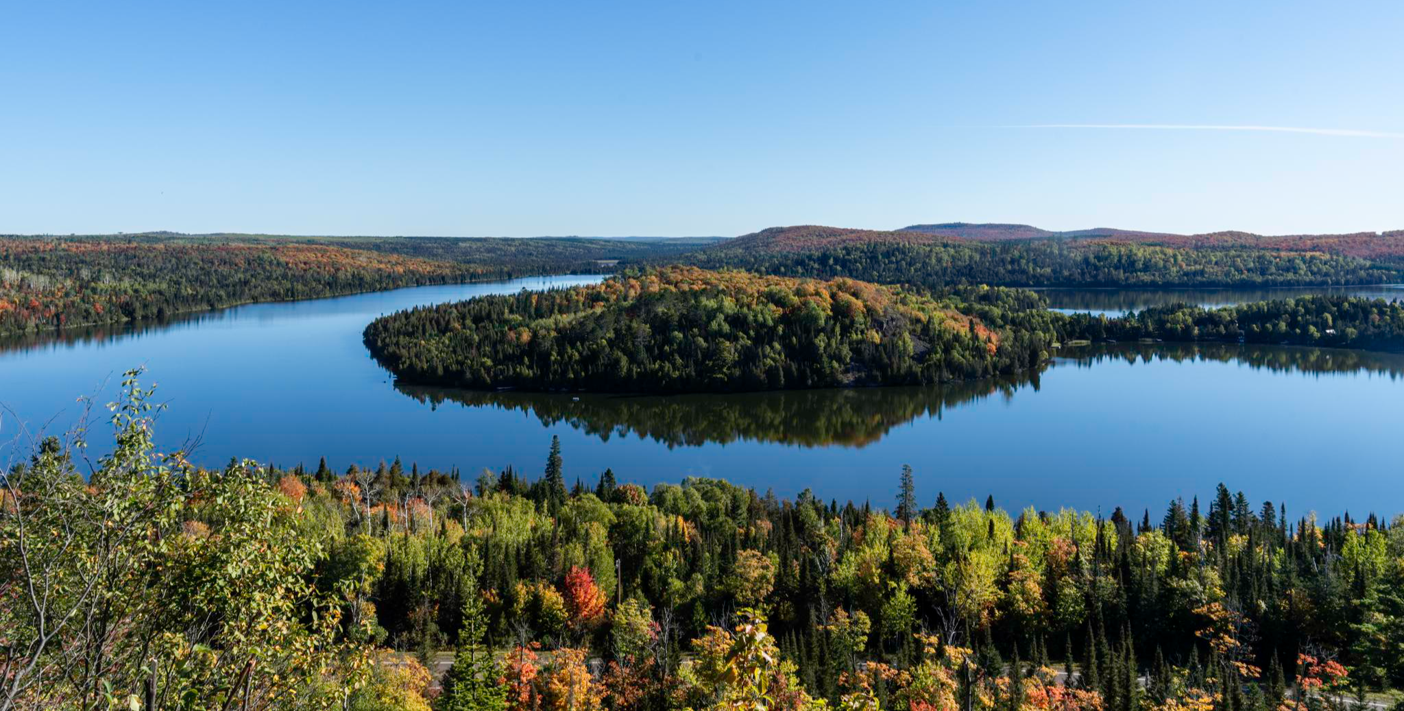
Superior Hiking Trail — Where the forest meets the lake
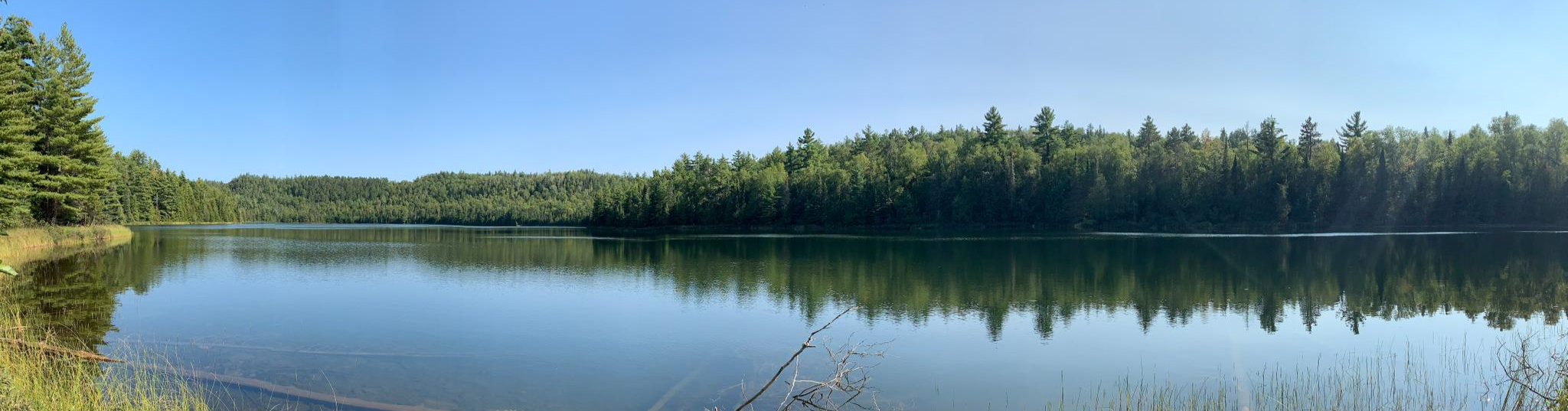
Border Route Trail — A remote Northwoods backpacking challenge
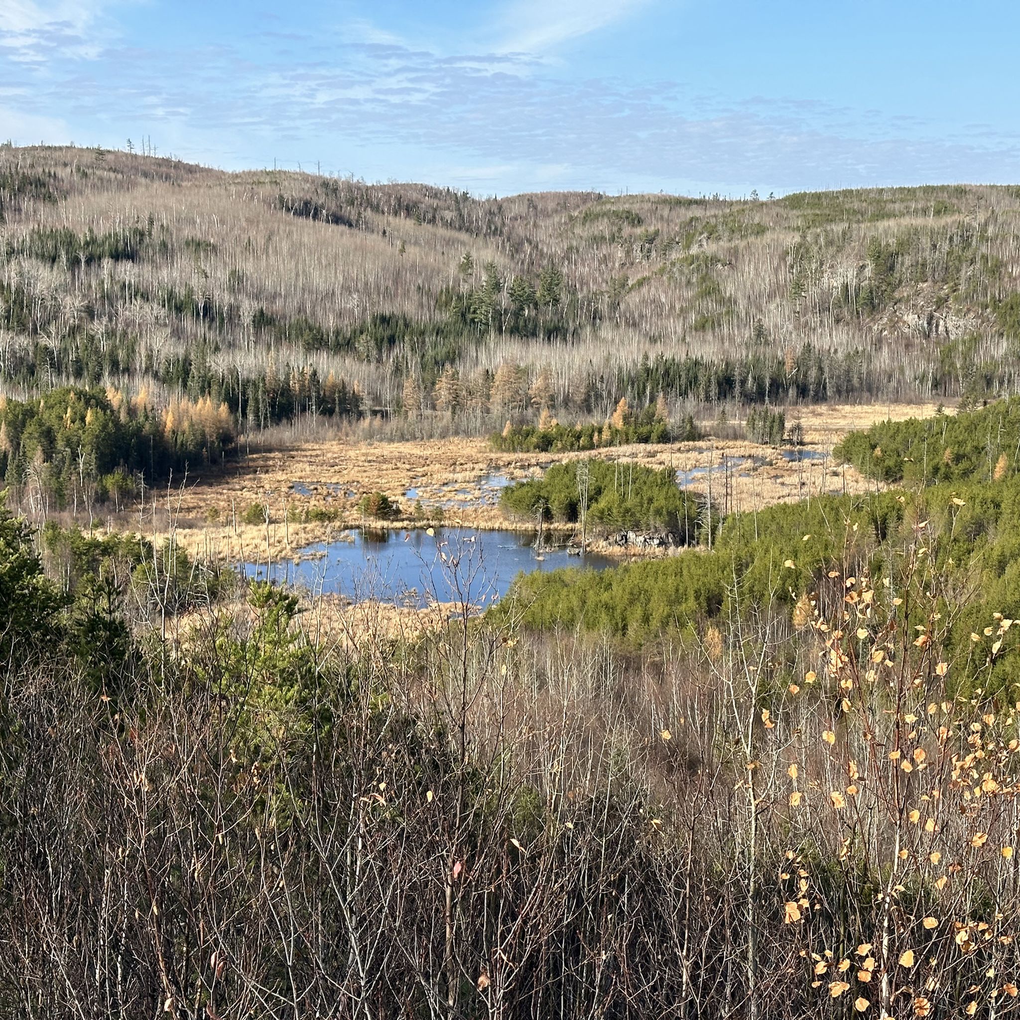
Hiking in Superior National Forest
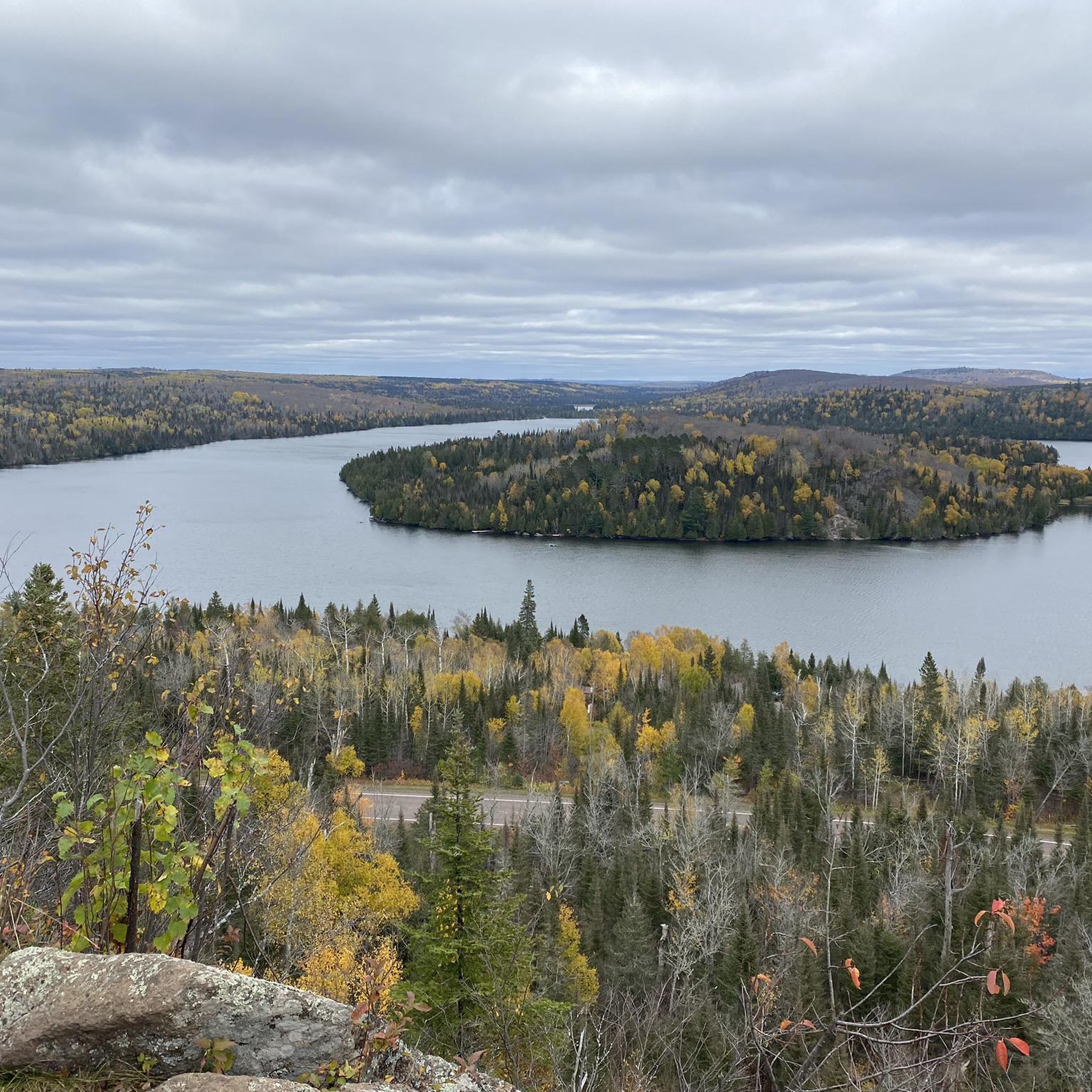
Road Cycling Routes in Superior National Forest
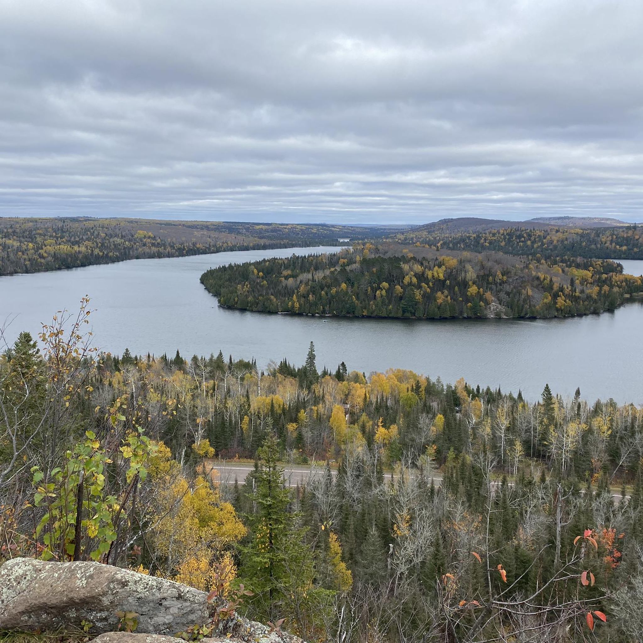
MTB Trails in Superior National Forest
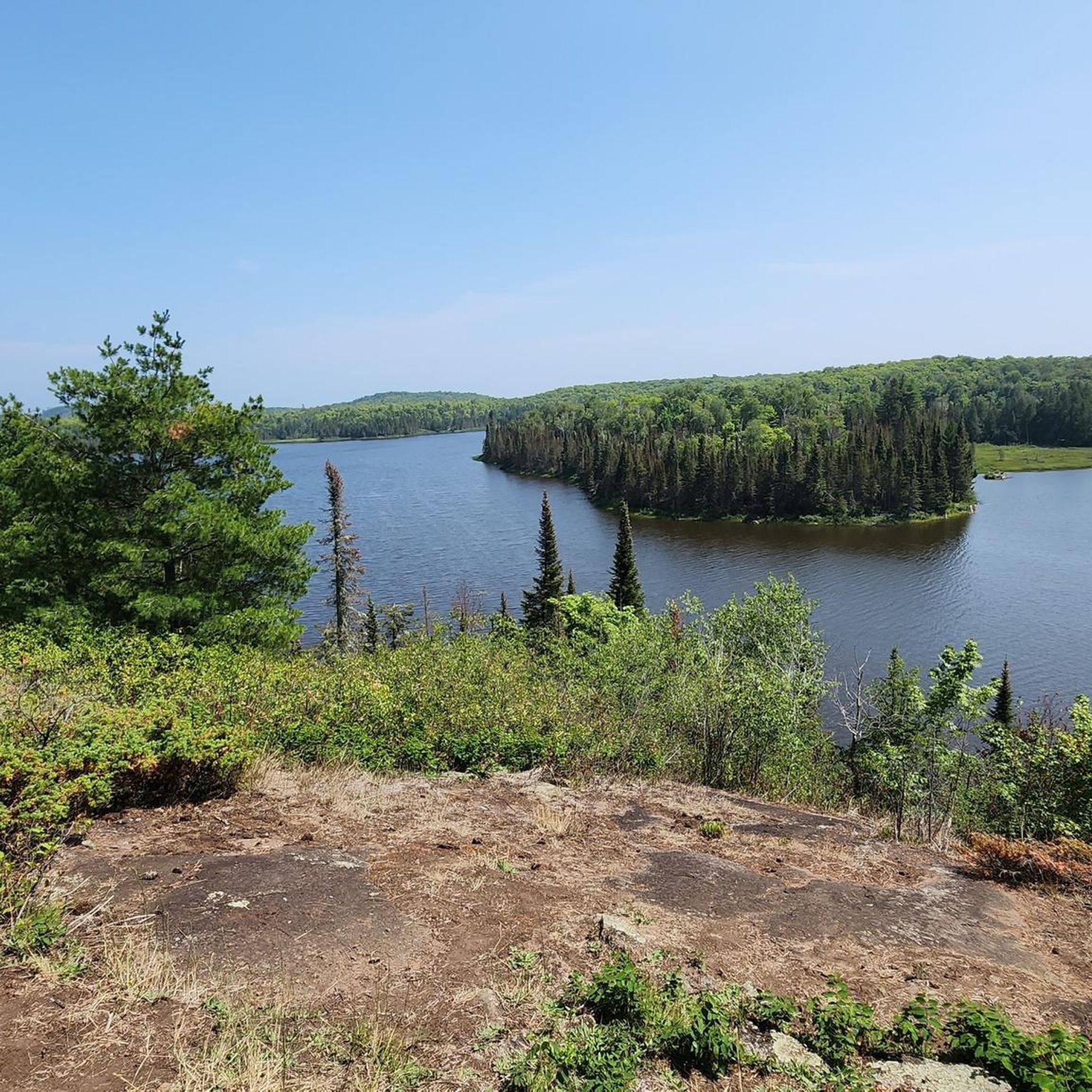
Cycling in Superior National Forest
Other adventures in Superior National Forest


Tips from the Community

The Pioneer Mine Shaft House is a part of the Ely Arts & Heritage Center, sitting directly across from the Grand Ely Lodge. This historic site gives visitors a look into Ely's mining history with exhibits of artifacts and photographs from the underground mine, which operated from 1889 until it closed its doors in 1967. The Shaft House is open to visitors from Memorial Day through Labor Day, with hours on Tuesdays from 2:00 PM to 5:00 PM and Fridays from 3:00 PM to 6:00 PM. Tours are led by guides, many of whom are former miners or have family ties to the mining community.
0
0

Dry Falls is formed by a small stream flowing from Dry Lake into Bass Lake. Beautiful spot to stop and have a look out over Bass Lake.
0
0
The Wye intersection is where the Powwow path splits and begins its 25 mile loop through the wilderness. Taking the right trail with take you counterclockwise, and the left will go clockwise. Here you may wish to turn around and head back to the trailhead if you are not overnight camping. Just before the Wye you will find ponds made by beavers, and you may even be able to see beaver lodges as well.
0
0
The trailhead is the start of the 2.7 mile section of the trail known as the "Stem". At the end of the "Stem" you will find an intersection with the much larger "Loop" part of the Powwow trail. The "Loop" is over 25 miles in length. The intersection of the "Stem" and the "Loop" is known as the "Wye".
0
0

Great viewpoint of Caribou Falls. During drier times, you get fairly close to the falls and sometimes swim at the pool at the base (with caution).
0
0
The Powwow Trailhead offers parking and BWCAW permits for hikers traveling into the area. Permits are necessary for both day and overnight hiking. The trailhead is the start of the 2.7 mile section of the trail known as the "Stem". At the end of the "Stem" you will find an intersection with the much larger "Loop" part of the Powwow trail. The "Loop" is over 25 miles in length. The intersection of the "Stem" and the "Loop" is known as the "Wye".
0
0
Bass Lake is dotted with campgrounds, and being a short portage from the trailhead is a great canoeing lake. Don't miss Dry Falls on the northwestern side of the lake.
0
0
Frequently Asked Questions
How many running routes are available in Superior National Forest?
Superior National Forest offers over 20 dedicated running routes. These trails cater to various skill levels, from moderate forest paths to more challenging routes with significant elevation changes.
What kind of terrain can I expect on running trails in Superior National Forest?
The terrain in Superior National Forest is highly varied, reflecting its unique geology. You'll encounter diverse running surfaces, including rocky landscapes, dense boreal forest paths, and trails with rugged uphills, long flat stretches, and steep descents. This variety provides both scenic beauty and diverse training opportunities.
Are there any easy running routes suitable for beginners or families?
Yes, there are routes suitable for beginners and families. While many trails are moderate, you can find easier sections within the extensive network. For a moderate but accessible option, consider the Powwow Trail, which offers a consistent running surface with minimal elevation changes through the forest.
What natural features or landmarks can I see along the running routes?
Superior National Forest is rich in natural beauty. Along the running routes, you can encounter thousands of clean glacial lakes, distinctive rocky landscapes, and dense boreal forests. Notable natural features include the Temperance River Gorge and the unique Devil's Kettle Falls. Many trails also offer stunning views of lakes like Rose Lake and Pine Lake.
Are there any running routes that offer scenic viewpoints?
Absolutely. Many running routes in the region provide breathtaking views. The Superior Hiking Trail, for instance, offers sections with stunning overlooks of Lake Superior from rocky outcrops, such as those found near Oberg Mountain. The Bass and Dry Lake Loop also provides scenic views around two distinct lakes.
What is the best time of year for running in Superior National Forest?
The best time for running in Superior National Forest is typically from late spring through early fall. During these months, the weather is generally mild, and the trails are clear of snow and ice. Fall offers particularly stunning scenery with vibrant autumn foliage. Winter running is possible on some trails, but requires appropriate gear and awareness of snow and ice conditions.
Can I bring my dog on the running trails?
Many trails within Superior National Forest are dog-friendly, but it's always best to check specific trail regulations before heading out. Generally, dogs are welcome on leash in most areas. Always practice Leave No Trace principles and clean up after your pet.
Are there any circular running routes in the area?
Yes, the region offers several excellent circular running routes. A popular option is the Bass and Dry Lake Loop, a moderate 5.7-mile trail. Another local favorite is the Pioneer Mine Shaft House loop from Ely, which takes you through historical mining areas and local woodlands.
What wildlife might I encounter while running in Superior National Forest?
Superior National Forest is home to diverse wildlife. While running, you might encounter iconic megafauna such as moose and black bears. The forest also hosts the largest population of gray wolves in the lower 48 states, and you might even hear their howls, particularly in more remote areas like the Angleworm Hiking Trail. Always be aware of your surroundings and give wildlife ample space.
Are there any challenging running routes for experienced runners?
For experienced runners seeking a challenge, Superior National Forest offers several difficult routes. The region's varied topography, including the Sawtooth Mountains and Eagle Mountain, provides trails with significant elevation gains and rugged terrain. An example of a more challenging route is the Carlton Peak loop from Temperance River State Park, which features over 260 meters of elevation gain over 12.6 kilometers.
Is parking available at the trailheads?
Parking is generally available at most major trailheads throughout Superior National Forest. However, specific parking availability and regulations can vary by location. It's advisable to check details for your chosen route beforehand, especially for popular trails during peak seasons.
What makes running in Superior National Forest unique?
Running in Superior National Forest offers a unique experience due to its vast, pristine wilderness. As the largest national forest east of the Mississippi, it features an unparalleled combination of interconnected glacial lakes, ancient rocky landscapes, and a rich boreal forest ecosystem. The extensive trail system provides a deep immersion in nature, with opportunities for solitude and wildlife viewing in a truly wild setting.
Most popular routes in Superior National Forest
Most popular attractions in Superior National Forest

Get inspired with the komoot mobile app


Explore more
Browse the best Running Trails & Routes in other regions.
