The best walks and hikes in Stanislaus National Forest
4.8
(243)
3,797
hikers
75
hikes
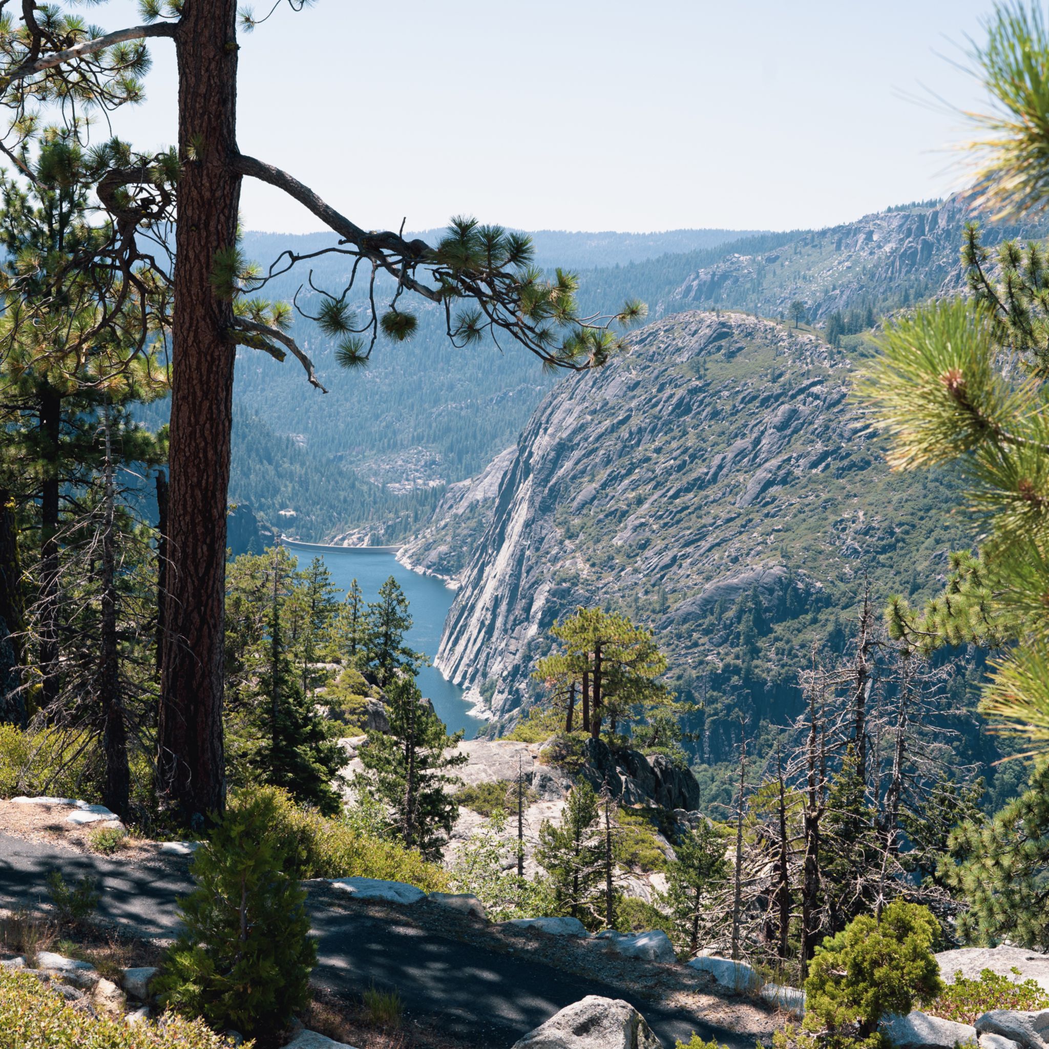
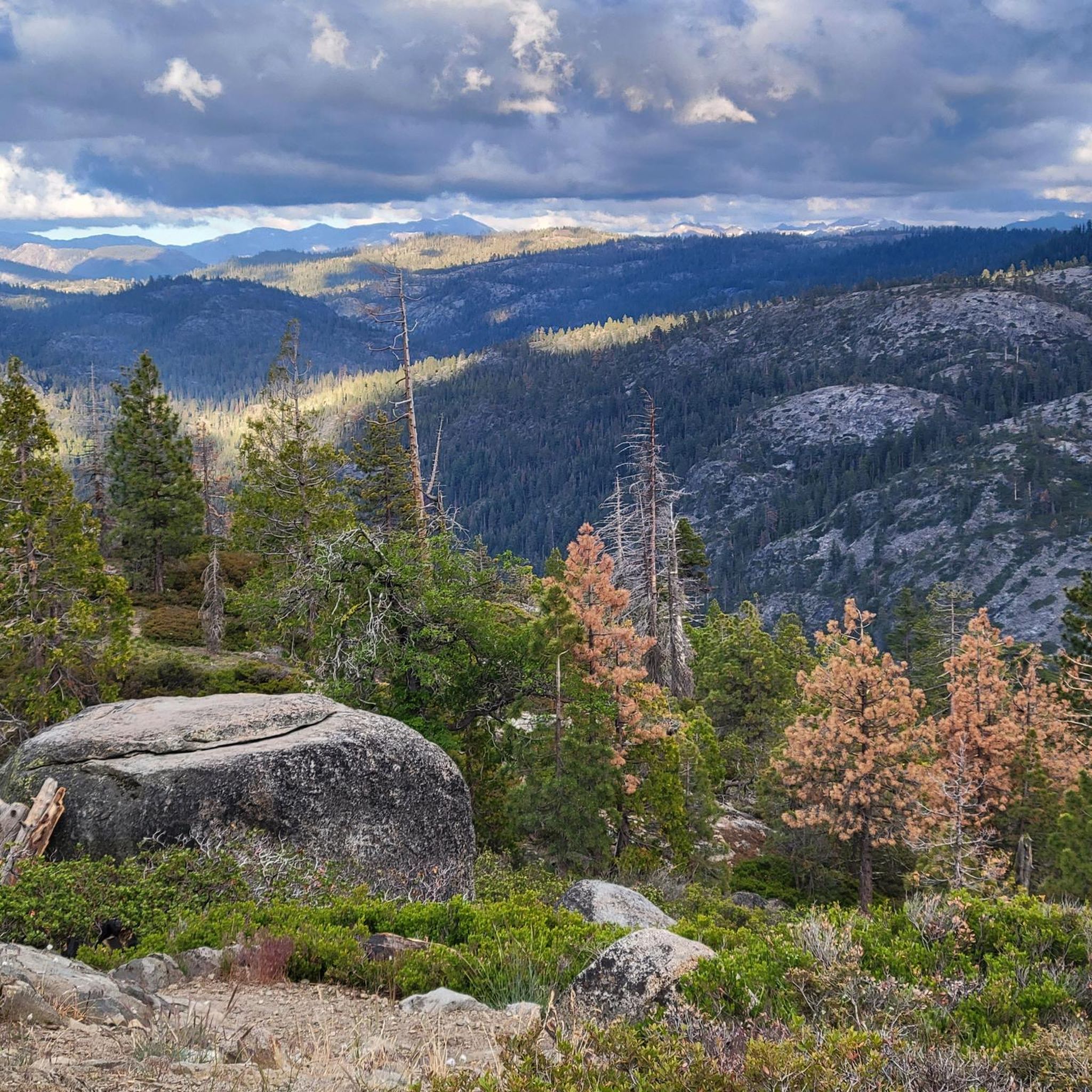
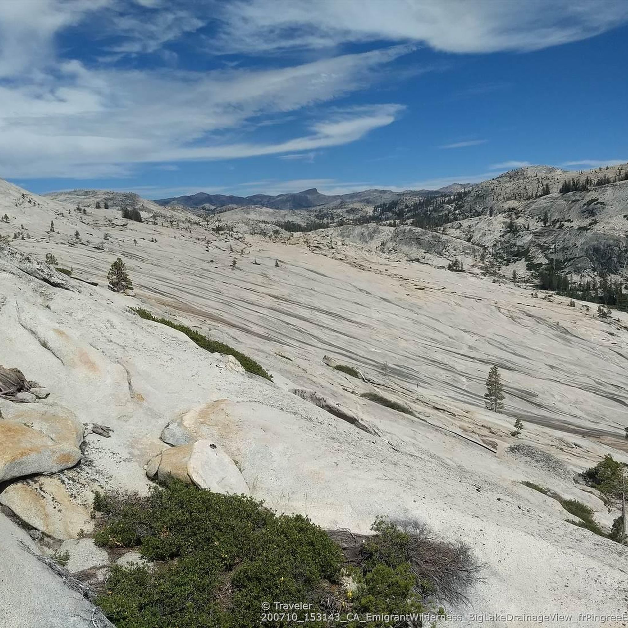
Hiking in Stanislaus National Forest offers routes through a landscape of granite peaks, alpine lakes, and expansive forests on the western slope of the Sierra Nevada. The region's terrain includes deep river canyons and groves of giant sequoias. Elevations range from low foothills to high-country mountains, providing a varied trail network. This diverse topography supports a wide array of hiking experiences.
Best hiking trails in Stanislaus National Forest
- The most popular hiking route is Herring Creek and Pinecrest Lake Loop, a 3.8 miles (6.2 km) trail that takes 1 hour 54 minutes to complete. This family-friendly hike follows the shoreline of Pinecrest Lake.
- Another top favourite among local hikers is Pinecrest Lake and Pinecrest Peak Loop, a moderate 6.4 miles (10.3 km) path. This route offers lakeside strolls and alpine views.
- Local hikers also love the Crabtree Trail to Bear Lake, a 4.2 miles (6.7 km) trail leading through forested areas to an alpine lake, often completed in about 1 hour 55 minutes.
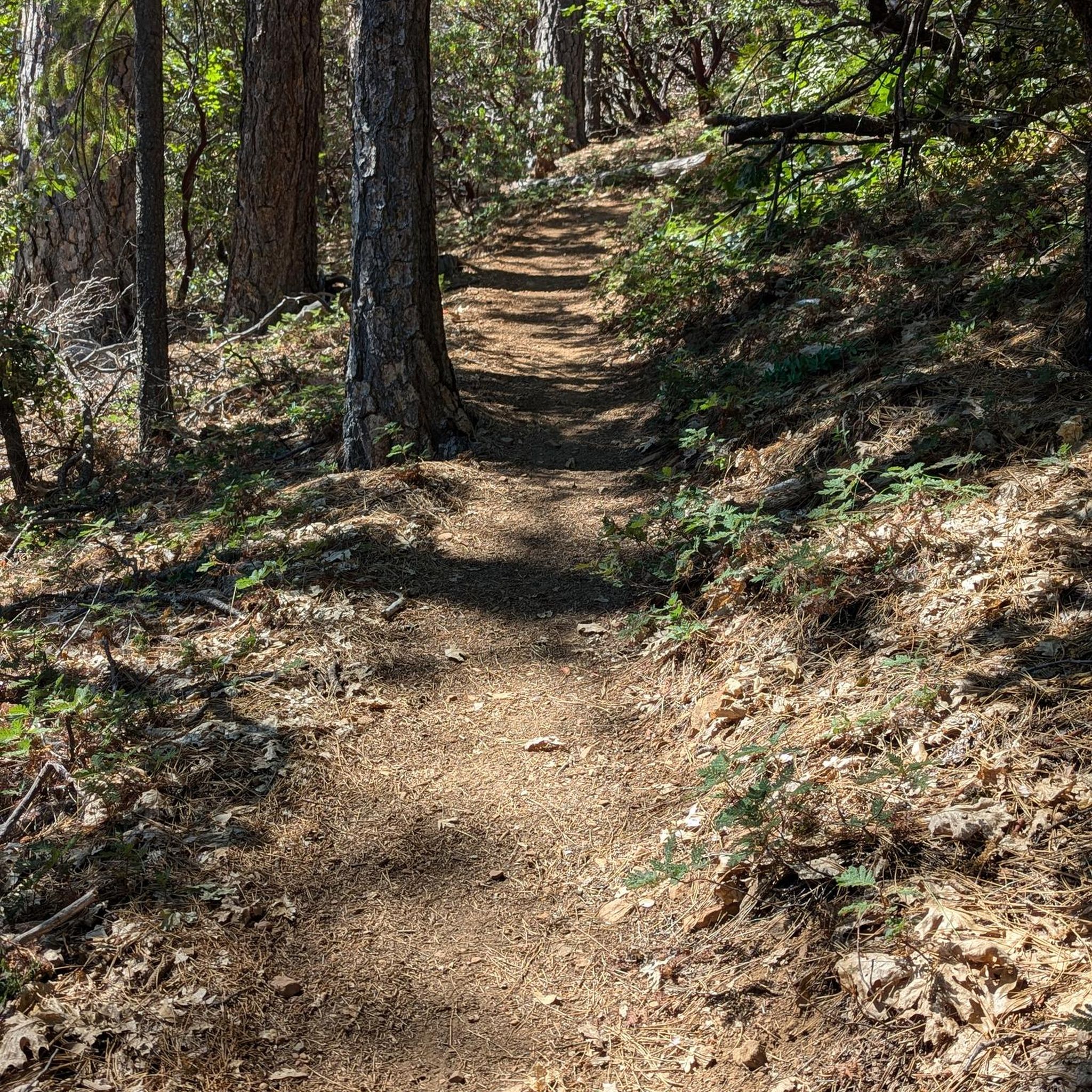
- Hiking in Stanislaus National Forest is defined by granite formations, alpine lakes, and forests of pine and sequoia. The trail network offers routes for different ability levels, from easy lakeside walks to more challenging mountain hikes.
- The routes in Stanislaus National Forest are highly rated by the komoot community with an average score of 4.9 stars from over 210 reviews. More than 3,300 hikers have used komoot to explore Stanislaus National Forest's varied terrain.
Last updated: October 11, 2026
35
hikers
6.71km
01:55
210m
40m
Easy hike. Great for any fitness level. Easily-accessible paths. Suitable for all skill levels.
5
hikers
10.5km
03:47
610m
610m
Moderate hike. Good fitness required. Easily-accessible paths. Suitable for all skill levels.

2
hikers
13.7km
04:26
880m
120m
Moderate hike. Good fitness required. Easily-accessible paths. Suitable for all skill levels.
5.0
(1)
3
hikers
10.3km
02:58
260m
250m
Moderate hike. Good fitness required. Easily-accessible paths. Suitable for all skill levels.
2
hikers
8.07km
02:38
440m
200m
Moderate hike. Good fitness required. Easily-accessible paths. Suitable for all skill levels.
Get access to more routes and recommendations from other explorers.
Already have an account?
Our route recommendations are based on thousands of hikes, rides, and runs completed by other people on komoot.
Start today with a free account
Your next adventure awaits.

Other adventures in Stanislaus National Forest

Tips from the Community


The highest pass along CA 108 is crossed here by the PCT. There are some pull-over options and interesting location markers, but if you organized to start or stop here it is better not to park here but a few hundred meeters down on the west side at a parking area.
0
0
There are, rare for trails in the US, two options for this section above Sonora Pass. The more gradual eastern trail is the main route of the PCT. The shorter direct trail is steep and has a dotted line on the Komoot map. The views from here are amazing. The tree line begins here at about 3100 m which is a little more than 10 000 feet. Above this point are just grass or, in this area, bare gravel dirt.
0
0
A small paradise at this glacial kar lake, a remnant from a hanging glacier. In summer, and in winter in snow, this is a good spot to camp, protected from the wind that can blow fiercely a little higher along the PCT trail and on Leavitt Mountain. In summer, a diverse variety of wild flowers blossom in this sheltered location, close to water.
1
0
Great campsite and water access nearby. Look for the interesting geology: specimens of volcanic rock transition to polished granite so typical for the High Sierra.
0
0
Reliable fresh water source along the Huckleberry Trail. Three parallel side trails lead down to the Relief Reservoir beach
0
0
Barely hundred to 150 years ago the Sierra was still busy with miners extracting gold, silver, and cutting timber for their operations. Today, there are still many sites where their equipment is left to rust in the mountains.
1
0

Sonora Pass is the 2nd highest pass through the Sierra, behind Yosemite's Tioga Pass. The Pacific Crest Trail crosses here and is a popular place for hiking. Just to the west of the summit is a picnic area with restrooms, which makes it a good spot to catch your breath after the climb and before the descent.
0
0
Frequently Asked Questions
Are there many hiking options in Stanislaus National Forest?
Yes, there are over 45 designated hiking routes in the region. These range from easy lakeside strolls to challenging high-country treks, with elevations varying from 1,500 to over 11,000 feet, providing a wide variety of experiences.
What do other hikers think of the trails in Stanislaus National Forest?
The trails in this area are highly regarded by the komoot community, with an average rating of 4.9 out of 5 stars. Hikers frequently praise the stunning granite landscapes, serene alpine lakes, and the majestic giant sequoia groves.
Are there any good hikes for families with children?
Absolutely. The forest offers several family-friendly options. For a unique experience, consider the South Grove loop — Calaveras Big Trees State Park, which is a more secluded trail through a magnificent grove of giant sequoias.
Can I find any hikes with waterfalls?
Yes, the region is known for its beautiful waterfalls. A great option is the Carlon Falls — Yosemite National Park trail, an easy hike that leads to a picturesque waterfall, perfect for a refreshing break.
Are dogs allowed on the hiking trails?
In many parts of Stanislaus National Forest, dogs are permitted on trails, typically on a leash. However, rules can vary, especially in designated wilderness areas or state parks within the forest boundaries. Always check the specific regulations for your chosen trail before you go.
What are the options for backpacking in the area?
Stanislaus National Forest is a fantastic destination for backpacking, with over 1,000 miles of trails, including sections of the famous Pacific Crest Trail. You can find multi-day treks leading to remote alpine lakes and through dramatic river canyons. Remember that wilderness permits are often required for overnight stays.
Can I go hiking in Stanislaus National Forest during the winter?
Yes, winter transforms the forest into a snowy wonderland. While higher elevation trails may be inaccessible, many lower elevation paths become perfect for snowshoeing and cross-country skiing. Always check road conditions and avalanche warnings before heading out.
Are there any good spots for swimming along the trails?
The forest has numerous rivers and lakes with excellent swimming opportunities. Trails along the Clavey River, like the one to God's Bath, are famous for their refreshing swimming holes and unique rock formations. The Stanislaus River also offers several spots to cool off.
Do I need a permit to hike in Stanislaus National Forest?
For day hiking on most trails, a permit is not required. However, permits are necessary for overnight backpacking trips in the designated wilderness areas. Campfire permits may also be required. It's essential to check the official Stanislaus National Forest website for the most current regulations before your trip.
How should I prepare for a hike in this region?
The weather in the Sierra Nevada can change quickly, and elevations vary greatly. It's wise to dress in layers, bring plenty of water, and carry sun protection. Due to the rugged terrain, sturdy hiking shoes are recommended. Always carry a map, as cell service can be unreliable.
How does hiking in Stanislaus compare to Yosemite?
While both offer stunning Sierra Nevada scenery, Stanislaus National Forest generally has fewer crowds than its famous neighbor, Yosemite. It provides a more tranquil and wild experience, with a vast network of trails that feel more remote, while still offering dramatic granite peaks and lush forests.
What are the best viewpoints in the forest?
Many trails offer breathtaking vistas. The Arnold Rim Trail is well-regarded for its panoramic views over the forest canopy. Hikes to peaks like Stanislaus Peak or Sonora Peak provide expansive, high-alpine views of the surrounding Sierra Nevada range.
Most popular routes in Stanislaus National Forest
Most popular attractions in Stanislaus National Forest

Get inspired with the komoot mobile app


Explore more
Browse the best Hikes in other regions.
