The best cycling routes in Angeles National Forest
4.6
(225)
3,167
riders
237
rides
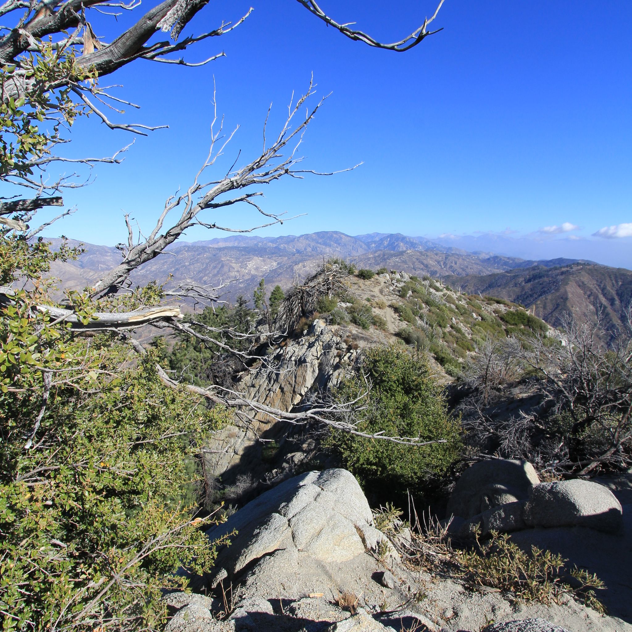
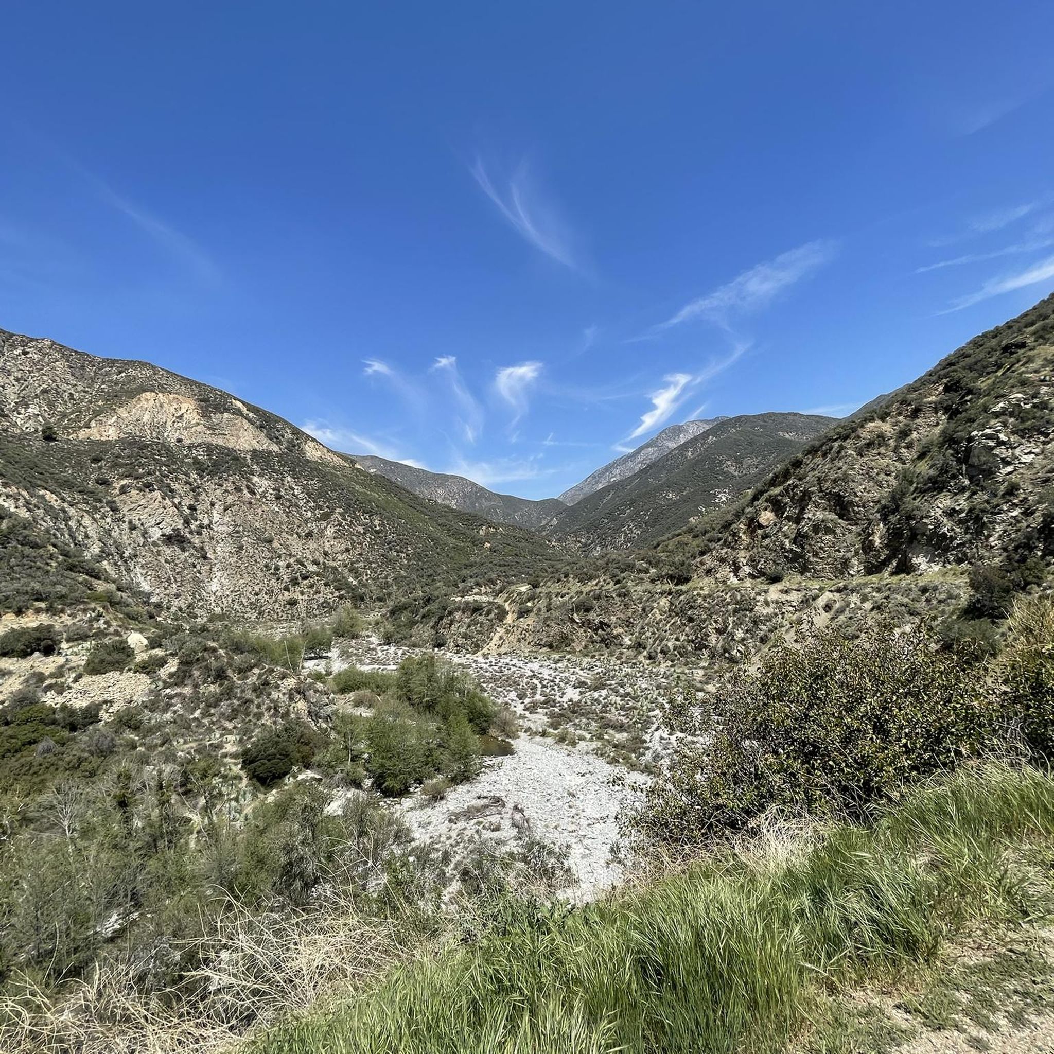
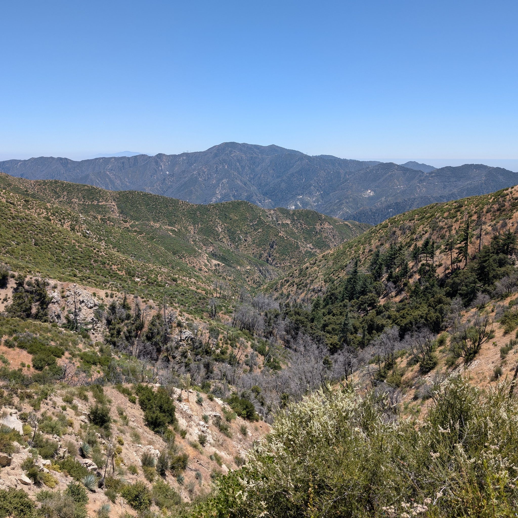
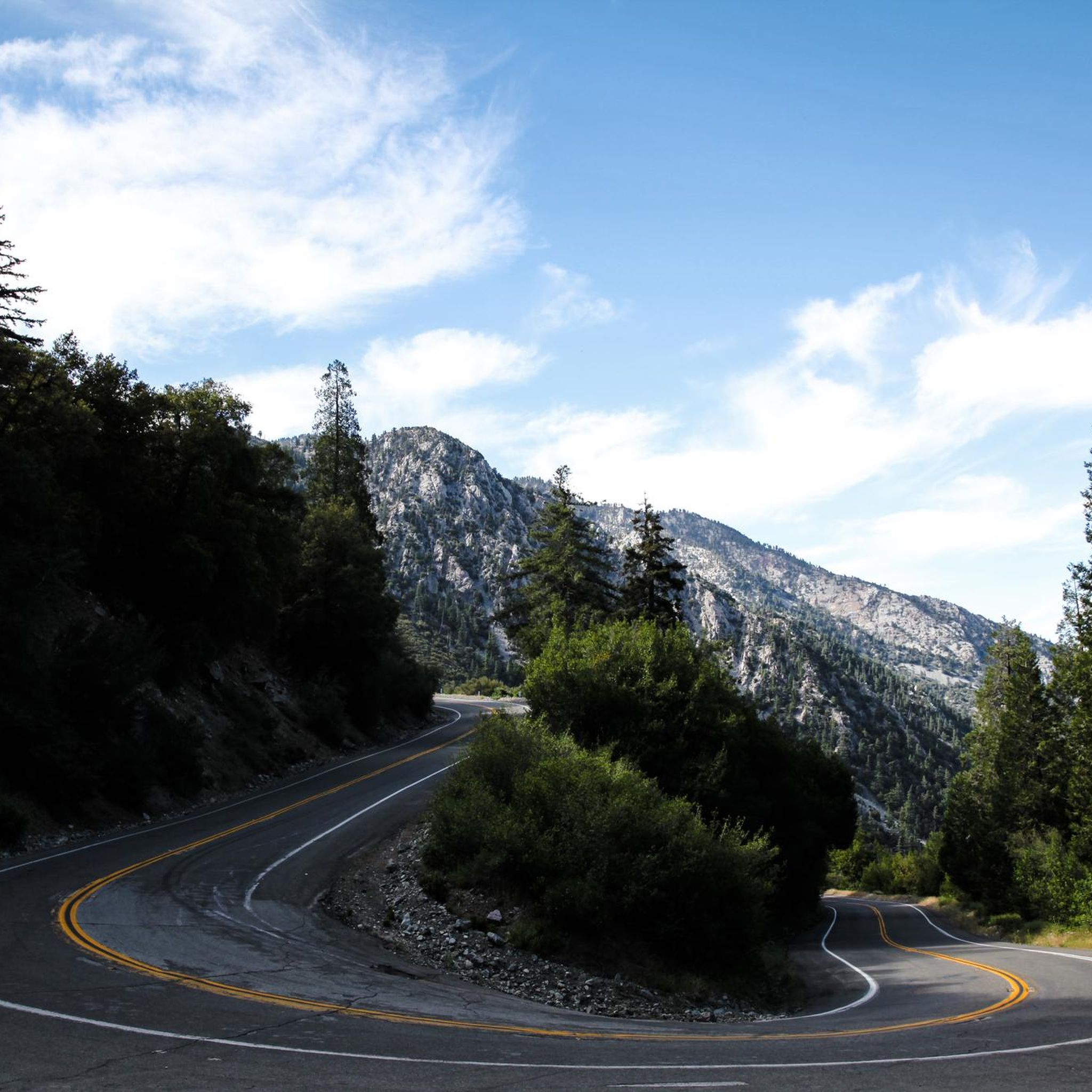
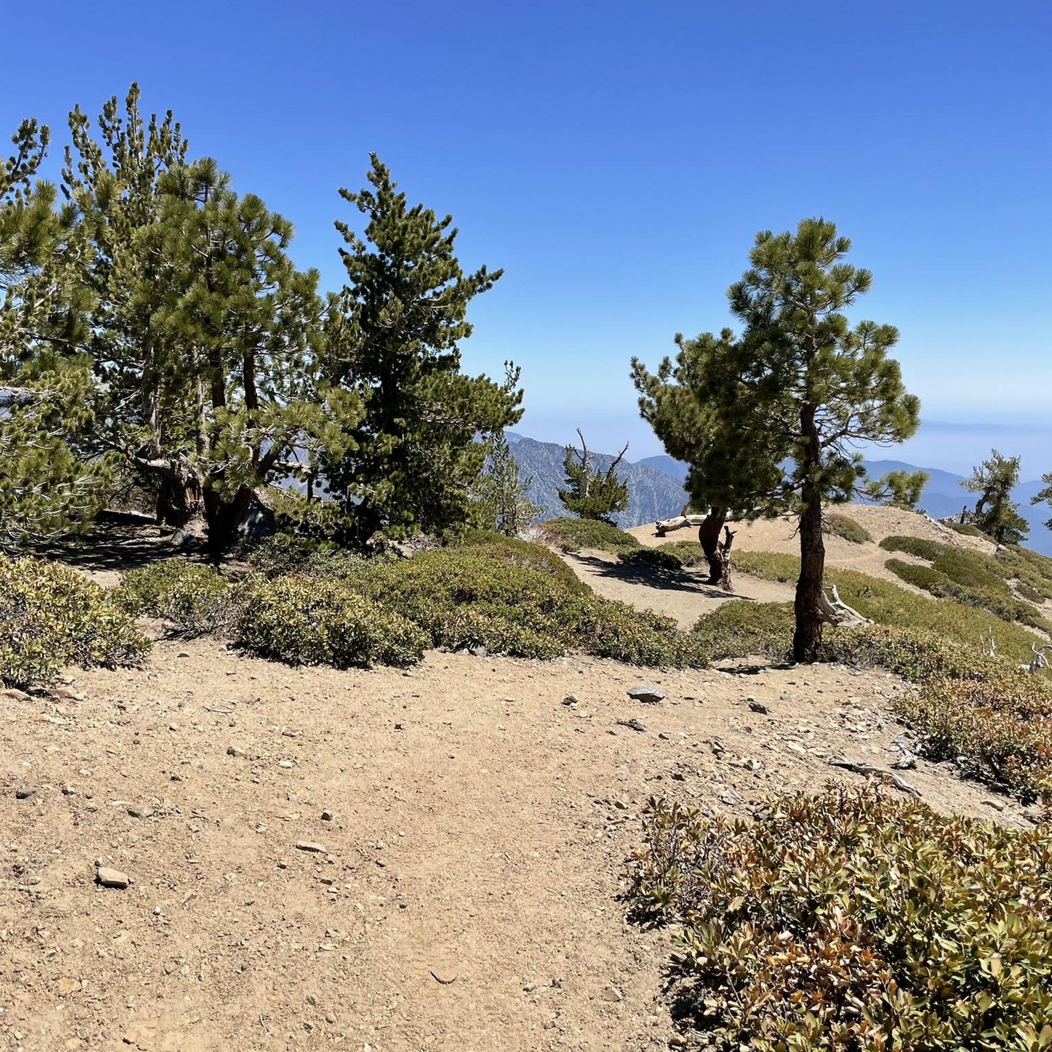
Touring cycling in Angeles National Forest offers diverse landscapes within the San Gabriel Mountains, covering over 700,000 acres just north of Los Angeles. The region features rugged slopes, rocky canyons, and peaks, with terrain transitioning from dense chaparral at lower elevations to pine and fir forests at higher altitudes. The Angeles Crest Highway provides extensive routes into the high country, and numerous canyons contain perennial streams. This varied environment provides a range of touring cycling experiences.
Best touring cycling routes in Angeles National Forest
- The most popular touring cycling route is Liebre Mountain Loop, a 17.1 miles (27.4 km) trail that takes 2 hours 49 minutes to complete, traversing mountain terrain.
- Another top favourite among local touring cyclists is Placerita Canyon Trail – MCRA Open Space loop from Placerita Canyon State Park, a difficult 12.9 miles (20.8 km) path leading through canyons and open space.
- Local touring cyclists also love the La Tuna Canyon Road – Verdugo Peak loop from Altadena, a 29.5 miles (47.4 km) trail leading through canyons and mountain peaks, often completed in about 3 hours 51 minutes.
- Touring cycling in Angeles National Forest is defined by the San Gabriel Mountains, diverse canyons, and the Angeles Crest Highway, with routes available for easy, moderate, and difficult ability levels.
- The routes in Angeles National Forest are highly rated by the komoot community with an average score of 4.7 stars from over 140 reviews. More than 2700 touring cyclists have used komoot to explore Angeles National Forest's varied terrain.
Last updated: October 16, 2026

6
riders
27.4km
02:49
710m
710m
Hard bike ride. Very good fitness required. You may need to push your bike for some segments of this route.
5.0
(1)
70
riders
84.6km
06:32
2,170m
2,170m
Hard bike ride. Very good fitness required. Mostly paved surfaces. Suitable for all skill levels.

17
riders
Hard bike ride. Very good fitness required. Mostly paved surfaces. Suitable for all skill levels.
13
riders
48.3km
03:56
1,030m
1,030m
Hard bike ride. Very good fitness required. Mostly paved surfaces. Suitable for all skill levels.
10
riders
26.9km
03:11
1,060m
1,060m
Hard bike ride. Very good fitness required. Mostly paved surfaces. Suitable for all skill levels.
Get access to more routes and recommendations from other explorers.
Already have an account?
Our route recommendations are based on thousands of hikes, rides, and runs completed by other people on komoot.
Start today with a free account
Your next adventure awaits.
Popular around Angeles National Forest

Other adventures in Angeles National Forest

Tips from the Community

The Mountains Recreation and Conservation Authority (MRCA) Open Space includes a network of dirt roads through Elsmere and Whitney Canyons. There roads are also great sunny biking trails, from which you get great views of the mountains of Angeles National Forest.
0
0

Mount Baldy Village & ski resort towers above the San Gabriel Valley & Los Angeles suburbs and is a lovely alpine community with a wonderful restaurant and a pub. It's a great place to stop, take in the incredible scenery, and refuel during your ride.
0
0

The Verdugo Wash Debris Basin is a beautiful, small lake created by the Verdugo Wash, a tributary of the Los Angeles River. There are nice views of the lake from both Country Club Drive and La Crescenta Avenue.
0
0
Mount Baldy Village & ski resort towers above the San Gabriel Valley & Los Angeles suburbs and is a lovely alpine community with a wonderful restaurant and a pub. It's a great place to stop, take in the incredible scenery, and refuel during your ride.
0
0

Whitney Canyon Park spans 442 acres, offering hiking, biking, and horseback riding trails through oak woodlands and along creeks and small waterfalls. The trails provide awesome views year-round, while the cooler months are especially enjoyable. Lots of parking is available for the public.
0
0
Built in 1920, Devil's Gate Dam is the oldest dam constructed by the Los Angeles County Flood Control District, designed to protect Pasadena, South Pasadena, and Los Angeles from floods. The dam was named after a rock formation resembling a devil’s face and gained popularity in the 1940s when occultists performed rituals there. Today, Devil's Gate Dam attracts hikers, paranormal investigators, and TV crews checking out its haunted reputation.
0
0
La Tuna Canyon Road is a fairly quiet road that winds through the green hills behind Burbank. There are some ups and downs, but you will be treated to some nice views as you get higher.
0
0

You can approach this 3,124-foot peak from several directions, but the multi-use Verdugo Motorway is the most common uphill option.
0
0
Frequently Asked Questions
How many touring cycling routes are available in Angeles National Forest?
Angeles National Forest offers a wide variety of touring cycling routes. There are over 250 routes available, catering to different skill levels. Approximately 60 routes are considered easy, nearly 100 are moderate, and over 90 are difficult, ensuring options for every cyclist.
What is the best time of year for touring cycling in Angeles National Forest?
The Angeles National Forest offers beautiful cycling experiences throughout the year, but spring and fall are particularly recommended. Spring brings vibrant wildflowers, while fall showcases lovely colors. Summer can be hot at lower elevations but offers cooler temperatures in the higher San Gabriel Mountains. Winter cycling is possible, especially at lower altitudes, but higher mountain roads like the Angeles Crest Highway may experience snow and closures.
What kind of landscapes and natural features will I encounter on touring cycling routes?
Touring cycling in Angeles National Forest will take you through diverse landscapes, from dense chaparral at lower elevations to pine and fir forests at higher altitudes within the San Gabriel Mountains. You'll find rugged slopes, rocky canyons, and majestic peaks, including Mount Baldy. Many routes also feature perennial streams and impressive waterfalls like Eaton Canyon Waterfall.
Are there any historical or notable landmarks accessible by bike in the forest?
Yes, the Angeles National Forest is home to several interesting landmarks. The historic Mount Wilson Observatory is a popular destination accessible by road, offering both scientific interest and panoramic views. You can also explore the Mount Lowe Railway Ruins, which provide a glimpse into the area's past.
Are there any circular touring cycling routes in Angeles National Forest?
Yes, many touring cycling routes in Angeles National Forest are designed as loops. For example, the challenging Liebre Mountain Loop offers a 17.1-mile ride through mountain terrain. Another option is the Overlook on Cerro Negro – Brookside Park loop from Altadena, a difficult 28.8-mile path with varied terrain and scenic overlooks.
What are the rules for e-bikes in Angeles National Forest?
Angeles National Forest accommodates e-bikes, with Class 1, 2, and 3 e-bikes generally allowed on motorized trails and roads. This provides a great option for cyclists seeking assistance on longer tours or challenging inclines. Always check local regulations for specific trail restrictions before you ride.
Are permits required for touring cycling in Angeles National Forest?
While general touring cycling on most roads and designated trails does not typically require a specific cycling permit, some areas within the Angeles National Forest may require an Adventure Pass for parking at certain trailheads or recreation sites. It's advisable to check the U.S. Forest Service website or local ranger stations for the most current requirements before your visit.
Can you recommend a challenging touring cycling route for experienced riders?
For experienced riders seeking a challenge, the La Tuna Canyon Road – Verdugo Peak loop from Altadena is an excellent choice. This difficult 29.5-mile route features significant elevation gain and offers a rewarding ride through varied terrain.
Are there family-friendly touring cycling routes in Angeles National Forest?
While many routes in Angeles National Forest are challenging, there are options suitable for families. The West Fork Bikeway is known as an easy, 7-mile one-way trail that can be a good starting point. When planning a family outing, look for routes designated as 'easy' on komoot to ensure a comfortable experience for all.
What do other touring cyclists enjoy most about cycling in Angeles National Forest?
The Angeles National Forest is highly rated by the komoot community, with an average score of 4.7 stars from over 160 reviews. Cyclists often praise the diverse terrain, from challenging mountain climbs to scenic canyon rides, and the stunning panoramic views, especially along the Angeles Crest Highway. The escape into nature so close to a major metropolitan area is also a frequently highlighted benefit.
Is public transportation available to access cycling routes in Angeles National Forest?
Accessing Angeles National Forest cycling routes primarily relies on personal vehicles due to the expansive nature of the forest. While some public transportation options might reach the fringes of the Los Angeles metropolitan area, direct public transport into the heart of the forest or to specific trailheads is limited. Planning for car access is generally recommended for touring cyclists.
Are there any less crowded touring cycling trails in Angeles National Forest?
To find less crowded routes, consider exploring trails that are not the most well-known or those that require a bit more effort to reach. While specific 'less crowded' routes aren't explicitly listed, looking for routes with fewer reviews or those deeper within the forest, away from major access points, might offer a more solitary experience. The vastness of the forest allows for many opportunities to find quiet stretches.
Where can I find cafes or restaurants near Angeles National Forest bike routes?
While the Angeles National Forest itself is largely undeveloped, you'll find cafes and restaurants in the towns bordering the forest, such as Altadena, Montrose, and Arcadia. These communities serve as excellent starting or ending points for your rides, offering places to refuel before or after your touring cycling adventure.
Most popular routes in Angeles National Forest
Most popular attractions in Angeles National Forest

Get inspired with the komoot mobile app


Explore more
Browse the best Cycling routes in other regions.
