The best walks and hikes in Angeles National Forest
4.7
(370)
6,857
hikers
241
hikes
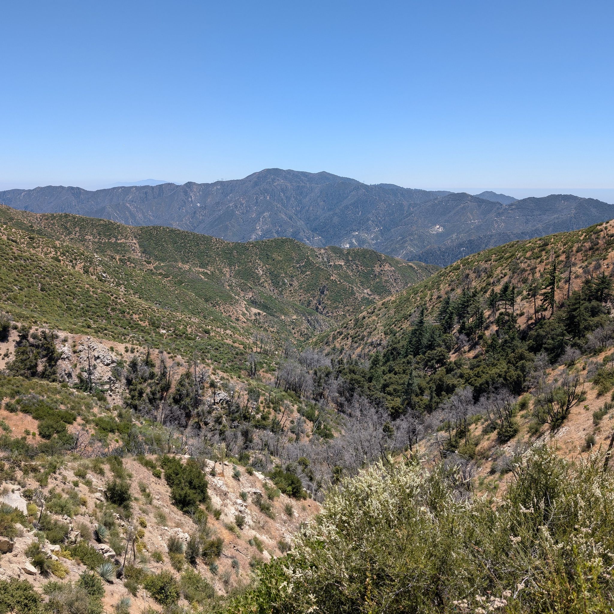
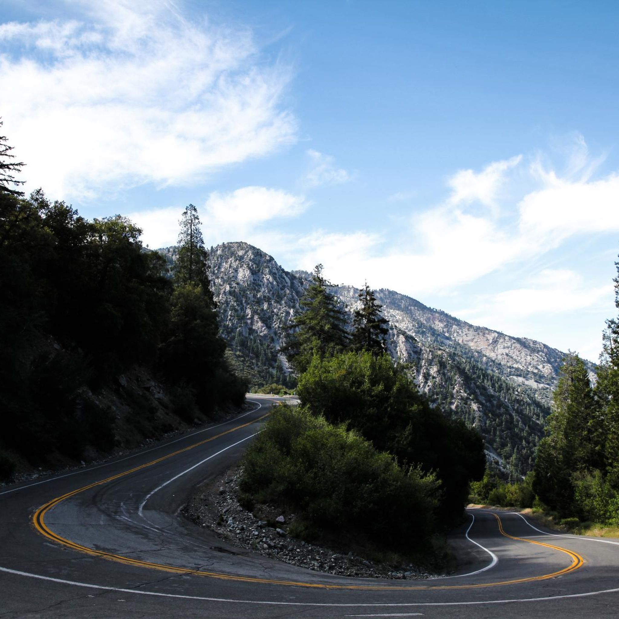
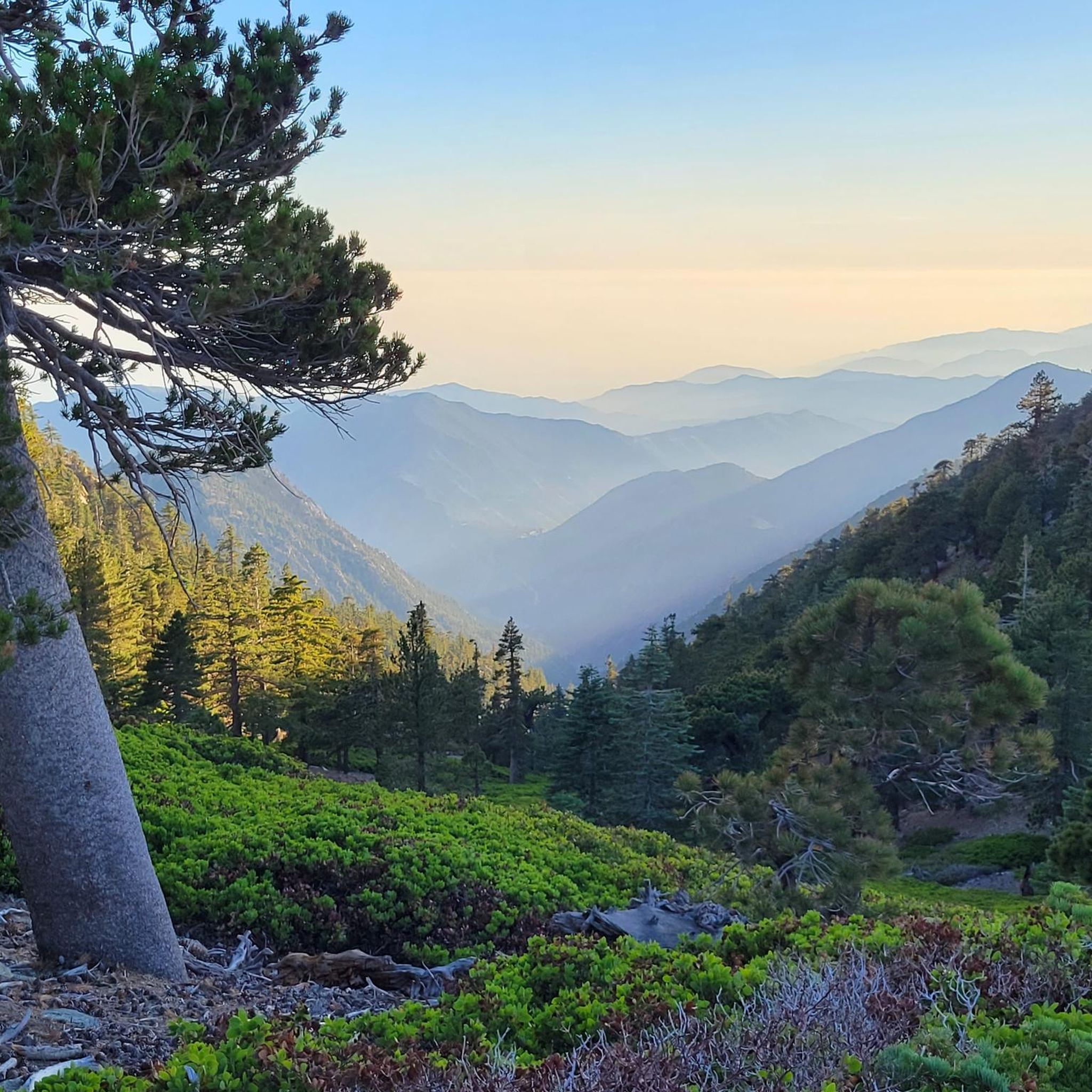
Hiking in Angeles National Forest explores the rugged terrain of the San Gabriel Mountains, located north of Los Angeles. The region is characterized by steep canyons, forested slopes, and high-altitude peaks, with elevations ranging from 1,200 to over 10,000 feet (365 to 3,050 m). The trail network follows riverbeds, climbs to exposed ridges, and passes through chaparral and pine forests. This diverse landscape offers a variety of hiking experiences.
Best hiking trails in Angeles National Forest
- The most popular hiking route is Bridge to Nowhere via East Fork Trail, a 12.1 miles (19.4 km) trail that takes 6 hours 54 minutes to complete. This route leads through the San Gabriel River canyon.
- Another top favourite among local hikers is Inspiration Point via Sam Merrill and Castle Canyon Loop, a moderate 7.3 miles (11.8 km) path. This trail offers significant elevation gain and panoramic views.
- Local hikers also love the Waterman Mountain Loop Trail, a 6.2 miles (10.0 km) trail leading through forested slopes, often completed in about 3 hours 33 minutes.
- Hiking in Angeles National Forest is defined by deep canyons, seasonal waterfalls, and high mountain ridges. The extensive trail system provides routes for various ability levels, from short canyon walks to challenging summit ascents.
- The routes in Angeles National Forest are highly rated by the komoot community with an average score of 4.8 stars from over 160 reviews. More than 3,000 hikers have used komoot to explore Angeles National Forest's varied terrain.
Last updated: October 11, 2026
4.9
(7)
111
hikers
19.4km
06:55
390m
590m
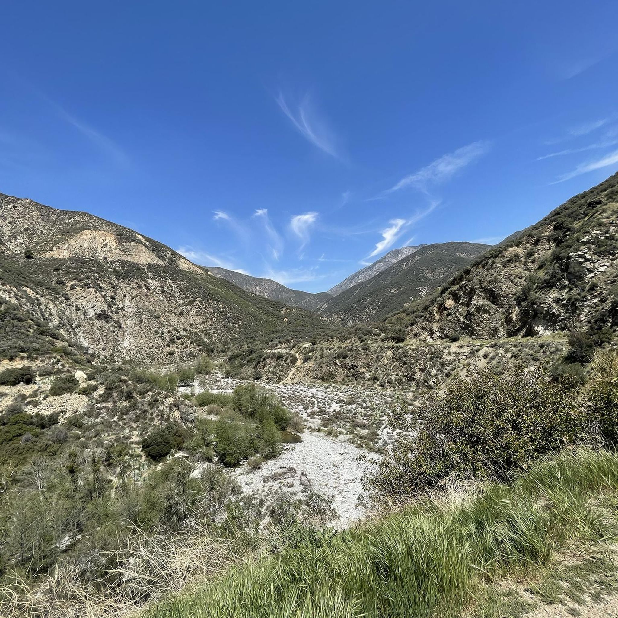
Embark on a difficult 12.1-mile (19.4 km) hike along the Bridge to Nowhere via East Fork Trail, a journey that typically takes around 6 hours and 54 minutes. You will gain 1285 feet (392 metres) in elevation as you navigate diverse terrain, from lush wooded sections with wildflowers to dry riverbeds. The route follows the East Fork of the San Gabriel River, offering views of steep, pink-tinted granite walls and prominent features like Swan Rock. Prepare for numerous river crossings that define the experience, leading you to the iconic Bridge to Nowhere.
Planning your visit requires preparation for the trail's frequent river crossings. During winter and spring, water levels can be higher, making these sections more challenging; consider bringing water shoes for comfort and safety. Parking is generally available at the trailhead, but this route is very popular, especially on weekends, so arriving early is highly recommended to secure a spot.
This trail is renowned for its unique destination: an isolated arch bridge that stands as a testament to an ambitious, unfinished road project from the 1930s. The journey itself is a rugged adventure through the Angeles National Forest, characterized by its challenging river fords and the dramatic canyon scenery. It offers a distinct blend of natural beauty and historical intrigue, setting it apart from other hikes in the region.
5.0
(1)
25
hikers
9.95km
03:32
410m
390m
Embark on the Waterman Mountain Loop Trail for a moderate hike through the Angeles National Forest. This 6.2 miles (10.0 km) route challenges you with 1330 feet (406 metres) of elevation gain, typically taking around 3 hours and 32 minutes to complete. As you ascend, you will traverse forested slopes dense with incense cedars and Jeffrey pines, eventually opening up to expansive views of the San Gabriel Wilderness, including Twin Peaks, and the Antelope Valley. You will also pass through the unique landscape of the Mt. Waterman ski area, adding an interesting visual element to your journey.
Before you head out, remember that an Adventure Pass is required for parking at the trailhead. Be aware that some sections of the trail can be overgrown, and navigation might prove tricky, particularly near the ski lift area where signage is not always clear. To assist with wayfinding and make your hike smoother, consider completing the loop in a clockwise direction. Always check local conditions before your visit to ensure a safe and enjoyable experience.
This loop provides a fantastic opportunity to immerse yourself in the natural beauty of the Angeles National Forest. Keep an eye out for seasonal wildflowers that add splashes of color to the landscape, and you might even spot local wildlife such as deer. The trail's blend of shaded forest paths and open vistas makes it a rewarding option for those seeking a substantial day hike with varied scenery and a touch of unique history from the ski area.

3.0
(1)
21
hikers
5.40km
01:47
0m
780m
Embark on an easy hike along the Icehouse Canyon Trail, a gentle 3.4 miles (5.4 km) route that takes about 1 hour and 46 minutes to complete. You'll find yourself in a tranquil, shaded canyon, where the sound of a year-round creek often accompanies your steps. The path is relatively gentle, winding past historic cabin ruins, some still standing as weathered remnants of the past. Lush, shady forests of oak, fir, pine, and cedar trees provide ample cover, with massive boulders scattered along the way. This route offers a peaceful introduction to the scenic Cucamonga Wilderness, with no elevation gain to worry about.
Before you head out, be aware that an Adventure Pass is required for parking at the Icehouse Canyon trailhead. Parking spaces can be quite limited, particularly if you plan to visit on a weekend, so an early start is advisable. Always check for potential wildfire closures and current trail conditions before your trip. If you intend to venture deeper into the Cucamonga Wilderness beyond this initial section, remember that a free wilderness permit is necessary.
This trail serves as a gateway to the broader Cucamonga Wilderness, offering a glimpse into its natural beauty without demanding a strenuous effort. The presence of historic cabin ruins adds a unique layer of human history to the natural landscape, showcasing past resilience against the elements. It's a notable route for its accessibility and the immediate immersion it provides into a shaded, creek-side environment, making it a popular choice for a refreshing outdoor escape.
21
hikers
6.47km
02:37
820m
20m
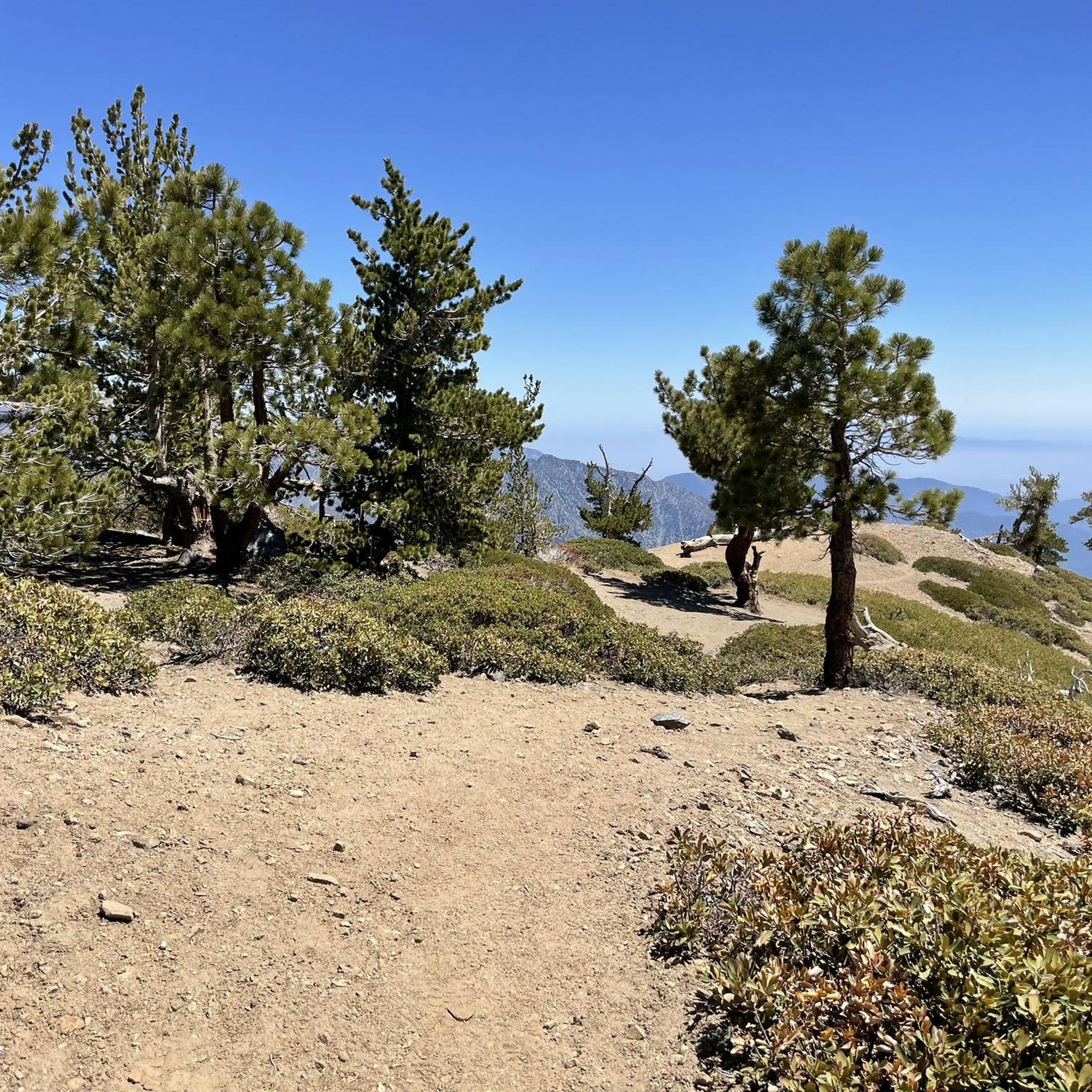
The Mount Baden-Powell Trail offers a moderate hiking challenge, covering 4.0 miles (6.5 km) with a significant elevation gain of 2694 feet (821 metres). You can expect to complete this journey in about 2 hours and 36 minutes. As you ascend, the scenery shifts from scrub oak and Jeffrey pine to ancient limber pines, culminating in spectacular 360-degree panoramic views from the 9,399-foot summit, stretching across the Mojave Desert and the San Gabriel Valley.
Planning your visit is straightforward, with the trailhead at Vincent Gap providing easy vehicle access and parking. Be aware that conditions can vary greatly by season; winter and spring often bring heavy snow and ice, transforming the route into a mountaineering challenge requiring specialized gear. Even during warmer months, the higher elevations can be windy and cold, so always pack appropriate layers.
This trail is notable for its diverse ecosystems and the chance to see the ancient Wally Waldron tree, estimated to be up to 2,500 years old, near the timberline. It provides a substantial workout and a true sense of accomplishment, making it a popular choice for those seeking a challenging ascent with incredible rewards in the Angeles National Forest.
5.0
(6)
18
hikers
11.8km
04:12
830m
430m
The Inspiration Point via Sam Merrill and Castle Canyon Loop offers a rewarding hiking experience, covering 7.3 miles (11.8 km) with a substantial 2723 feet (830 metres) of elevation gain. This moderate route, typically completed in about 4 hours and 11 minutes, leads you through varied terrain to stunning vistas. You will find yourself at Inspiration Point, where panoramic views of the Los Angeles Basin, including Altadena, Pasadena, and Glendale, unfold before you, with Catalina Island visible on clear days.
When planning your visit, remember that this trail is quite popular, especially on weekends, so an early start is advisable to secure parking at the trailhead. The Sam Merrill Trail section is largely exposed, offering minimal shade, which makes an early morning hike preferable to avoid the midday heat. Be sure to bring sturdy footwear, plenty of water, and snacks to stay comfortable and energized throughout this demanding journey.
Beyond the scenic beauty, this loop also provides a glimpse into the region's past. As you hike, you will encounter historical sites such as the ruins of the Mt. Lowe Observatory and remnants of the old Mount Lowe Railway. These historical elements add a unique layer to your outdoor adventure, connecting you with the rich heritage of the Angeles National Forest.
Get access to more routes and recommendations from other explorers.
Already have an account?
Our route recommendations are based on thousands of hikes, rides, and runs completed by other people on komoot.
Start today with a free account
Your next adventure awaits.
Popular around Angeles National Forest

Other adventures in Angeles National Forest

Tips from the Community

Vincent Gap has a restroom and parking and some nice views of the surrounding area. There is a gate beyond the gab heading west that is seasonally closed. Continue past the gates to further your adventure on the scenic Angeles Crest Highway.
0
0

A site with spectacular views over Los Angeles County. Additionally, beneath the pavilion, you'll find various sighting tubes, each pointing to a different location, such as Redondo Beach, Catalina Island, Hollywood, etc.
1
0

The Cucamonga Wilderness encompasses over 12,000 acres of mountains, valleys, and rivers in Angeles National Forest and San Bernardino National Forest. Being a wilderness area, some of the trails are more primitive than city trails, but you are surrounded by wildlife and nature as you run through the mountains. Keep in mind that running in the Cucamonga Wilderness requires a free permit.
0
0

A series of disasters has eroded the properties in this area. In 1900, a kitchen fire destroyed the main house, and in 1905, another fire consumed the remaining structures. From 1909 to 1938, a combination of flooding, wind storms, and additional fires destroyed the rest. Here, you can now observe the ruins of the observatory and enjoy the beautiful view from this point.
0
0

Inspiration Point is a view point that gives you a great view of Los Angeles County. There is a covered area that is available to enjoy the view!
0
0

Whatever your goal for today might be – Cucamonga Peak or any other scenic summit in the Cucamonga Wilderness – this junction is a perfect spot to take a break and eat some snacks. Gain some strength for your way up the beautiful mountains.
3
0

Get to the trail head early as the parking fills up fast. Fun hike, we loved it!
1
0

Frequently Asked Questions
Do I need a permit or pass to hike in Angeles National Forest?
Yes, for many areas you will need a National Forest Adventure Pass for your vehicle. This applies to parking at trailheads within the forest. Some specific trails, like the one to the Bridge to Nowhere, may require an additional wilderness permit, especially for activities like overnight camping. Always check the specific requirements for your planned route before you go.
Are there any good hikes for families with children?
The forest offers several family-friendly options. For a relatively easy walk leading to a beautiful cascade, the Sturtevant Falls Trail is a popular choice. It's one of the most frequented waterfall hikes in the area and is suitable for most skill levels.
What are some challenging hikes for experienced trekkers?
For a strenuous but rewarding challenge, the Strawberry Peak Trail offers a tough climb with panoramic views from the summit. It's a classic peak-bagging experience in the San Gabriels that requires good fitness.
Are dogs allowed on the trails in Angeles National Forest?
Yes, dogs are generally welcome on most trails in the Angeles National Forest, but they must be kept on a leash at all times. Be sure to bring enough water for your pet, especially on hot days, as many trails are exposed and can get very warm.
How can I check for trail closures or current alerts?
Before any hike, it's critical to check for the latest trail conditions. Wildfires, rockslides, and weather events can cause sudden closures. The official Angeles National Forest website is the best source for current alerts and notices. Some trails, like those in the Bobcat Fire burn scar, may have long-term closures.
What should I pack for a day hike in the forest?
It's essential to be prepared. Always carry plenty of water (at least 2-3 liters per person), sun protection (hat, sunscreen), and layered clothing, as temperatures can change quickly with elevation. Sturdy hiking shoes are a must due to the rocky and uneven terrain. Also, pack snacks, a map, and a first-aid kit.
Are there any loop trails available?
Yes, there are several excellent loop hikes. The Lower Sam Merrill Trail is a great moderate option that takes you past the historic ruins of the Mount Lowe Railway, offering a journey through both nature and history.
How many hiking trails are in Angeles National Forest?
There are over 140 designated hiking routes available on komoot, covering a vast network of trails. These range from short, accessible walks in shaded canyons to strenuous, multi-hour ascents to the highest peaks in the San Gabriel Mountains.
What do other hikers think of the trails in Angeles National Forest?
The region is highly regarded by the komoot community, with an average rating of 4.8 out of 5 stars. Hikers often praise the stunning variety of landscapes, from deep, shaded canyons to the dramatic, exposed ridges with expansive views over the Los Angeles basin.
Is it possible to reach trailheads using public transport?
Reaching trailheads via public transport is challenging and often not feasible for most hikes in the Angeles National Forest. The trailheads are typically remote and located deep within the mountains. A personal vehicle is generally required to access the main hiking areas.
What is the parking situation like at the trailheads?
Parking can be very limited, especially on weekends and at popular trailheads like Switzer Falls or Eaton Canyon. It's highly recommended to arrive early in the morning to secure a spot. Remember that a National Forest Adventure Pass is usually required to be displayed in your vehicle.
Most popular routes in Angeles National Forest
Most popular attractions in Angeles National Forest

Get inspired with the komoot mobile app


Explore more
Browse the best Hikes in other regions.
