The best cycling routes in El Tepozteco
5.0
(8)
33
riders
5
rides
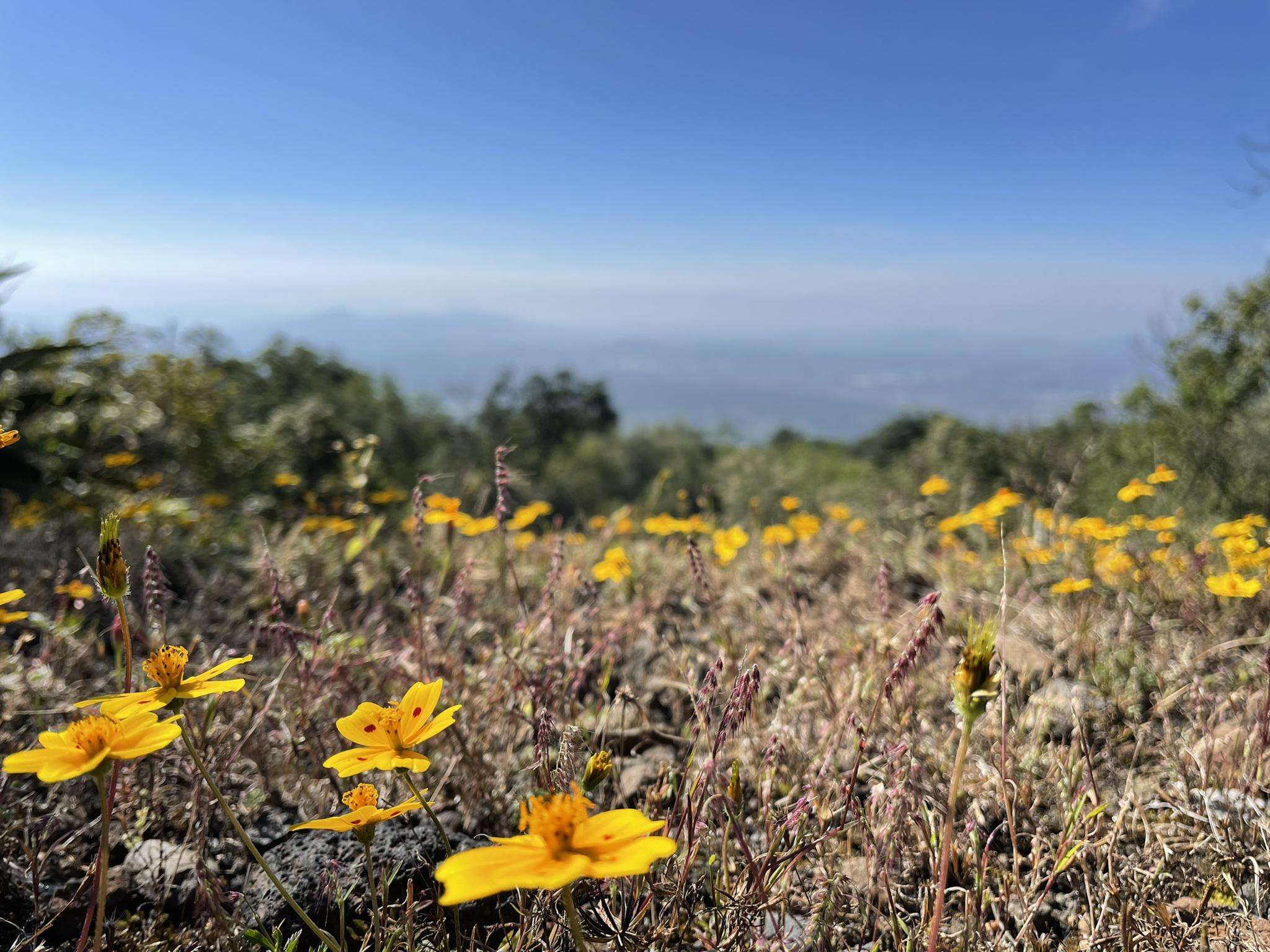
Touring cycling in El Tepozteco features routes through a region characterized by significant elevation changes, including hills and valleys. The landscape often includes natural park environments with varied vegetation. Routes frequently offer views from higher elevations and traverse areas with diverse terrain suitable for cycling.
Best touring cycling routes in El Tepozteco
- The most popular touring cycling route is Descent from the Viewpoint loop from Antigua Estación de Ferrocarril de Cuernavaca, a 28.7 miles (46.2 km) trail that takes…
Last updated: October 18, 2026
5.0
(5)
17
riders
Hard bike ride. Very good fitness required. Mostly paved surfaces. Suitable for all skill levels.
5.0
(1)
7
riders
Hard bike ride. Very good fitness required. Mostly paved surfaces. Suitable for all skill levels.

5.0
(1)
2
riders
17.2km
01:07
260m
260m
Moderate bike ride. Good fitness required. Mostly paved surfaces. Suitable for all skill levels.
2
riders
23.1km
01:37
390m
390m
Moderate bike ride. Good fitness required. Mostly paved surfaces. Suitable for all skill levels.
5.0
(1)
5
riders
46.9km
03:02
600m
600m
Hard bike ride. Very good fitness required. Mostly paved surfaces. Suitable for all skill levels.
Our route recommendations are based on thousands of hikes, rides, and runs completed by other people on komoot.
Start today with a free account
Your next adventure awaits.
Popular around El Tepozteco


Tips from the Community

If they don't grip the brakes well, get off the bike and walk.
0
0

Frequently Asked Questions
How many touring cycling routes are available in El Tepozteco?
El Tepozteco offers a selection of 6 touring cycling routes, catering to various skill levels. These routes are known for their significant elevation changes and diverse natural park landscapes.
What are the typical lengths and difficulties of touring bike routes in El Tepozteco?
The touring bike routes in El Tepozteco vary in length, generally ranging from around 14 miles (22 km) to over 45 miles (73 km). Most routes are classified as moderate or difficult due to the region's hilly terrain and challenging ascents and descents. For example, the Bike loop from Jiutepec is a moderate 14.1-mile (22.7 km) trail, while the Descent from the Viewpoint – San Carlos Sports Complex loop from Antigua Estación de Ferrocarril de Cuernavaca is a difficult 45.6-mile (73.4 km) path.
Are there any beginner-friendly touring bike routes in El Tepozteco?
While El Tepozteco's terrain is generally characterized by significant elevation changes, making many routes moderate to difficult, there are options that might be more manageable for those with some cycling experience. Routes like the Alberca loop from Cuernavaca, at 10.7 miles (17.2 km) and rated moderate, offer a good starting point for those looking to experience the region's beauty without extreme challenges.
Are there loop touring bike routes in El Tepozteco?
Yes, many of the touring cycling routes in El Tepozteco are designed as loops, allowing you to start and finish at the same point. Examples include the popular Descent from the Viewpoint loop from Antigua Estación de Ferrocarril de Cuernavaca and the Fuente tlaltenango loop from Antigua Estación de Ferrocarril de Cuernavaca.
What historical sites or landmarks can I explore along touring bike routes in El Tepozteco?
El Tepozteco is rich in historical and cultural landmarks. Along or near the touring routes, you can find significant sites such as the ancient Tepozteco Pyramid, the Cruz de Axitla, and the Old El Parque Station. These offer fascinating stops to learn about the region's heritage.
What viewpoints can I expect on touring bike routes in El Tepozteco?
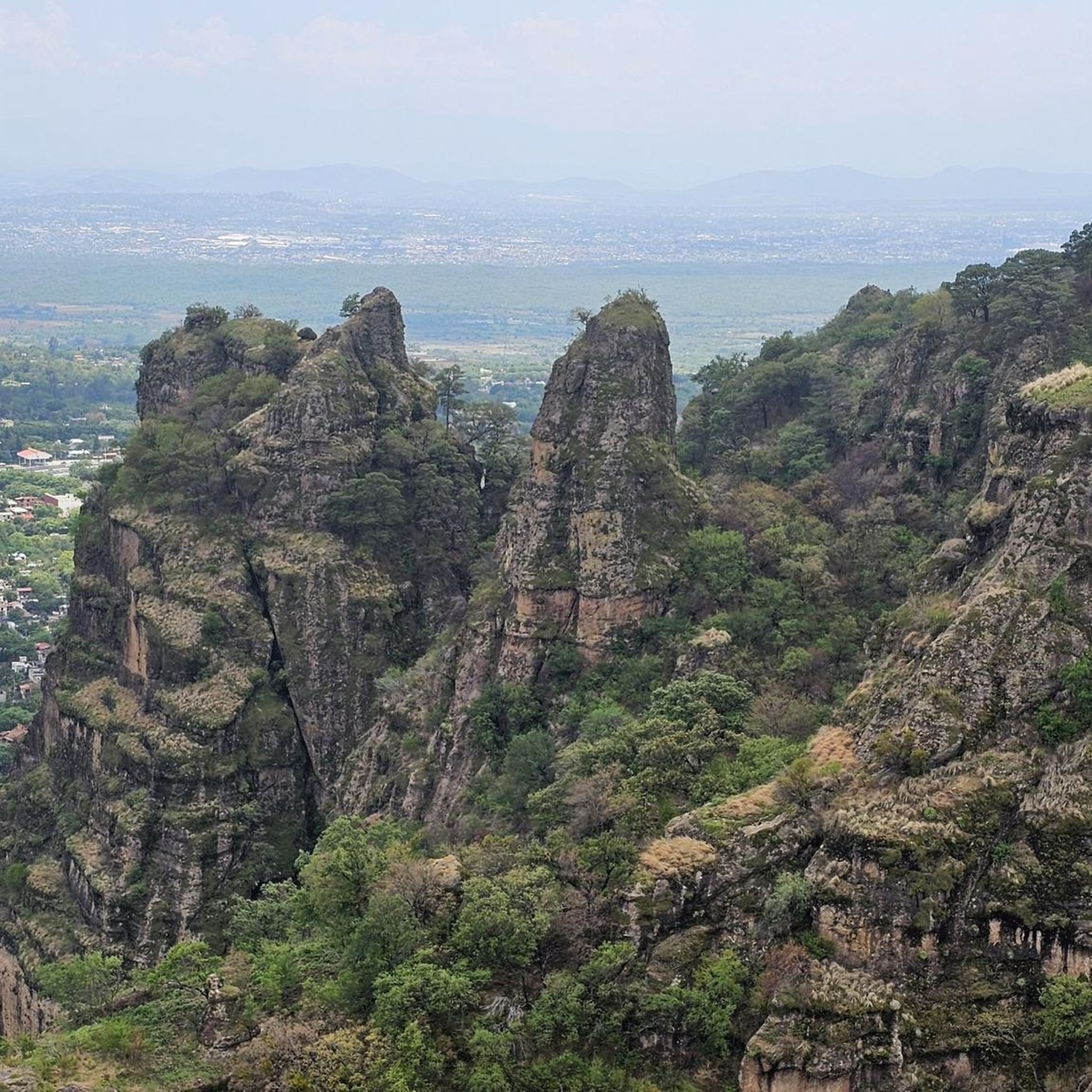
The hilly terrain of El Tepozteco naturally provides numerous opportunities for panoramic views. Many routes offer stunning vistas, including the renowned View of Tepoztlán from the Cliffs, which is a highlight for many cyclists. Expect to see expansive landscapes of valleys and natural parks.
What do other touring cyclists say about El Tepozteco?
The touring cycling routes in El Tepozteco are highly regarded by the komoot community, holding an average score of 5.0 stars from more than 8 reviews. Cyclists frequently praise the challenging ascents, rewarding descents, and the beautiful natural park environments.
What is the best time of year for touring biking in El Tepozteco?
The dry season, typically from November to May, is generally considered the best time for touring biking in El Tepozteco. During these months, you can expect more stable weather, less rain, and comfortable temperatures, making for more enjoyable rides through the region's varied terrain.
What should I wear for touring biking in El Tepozteco?
Given the significant elevation changes and varied terrain, it's advisable to wear moisture-wicking cycling apparel suitable for both climbs and descents. Layers are recommended to adapt to temperature fluctuations. Always include a helmet, gloves, and appropriate footwear. Sun protection, such as sunscreen and sunglasses, is also essential.
Are there cafes or places to eat near the touring bike trails in El Tepozteco?
El Tepozteco and its surrounding towns, such as Tepoztlán and Cuernavaca, offer a variety of cafes, restaurants, and local eateries where you can refuel. While specific establishments directly on every trail might be limited, you'll find options in the villages and urban centers that serve as common starting or ending points for many routes.
Is parking available for touring bike trails in El Tepozteco?
Parking availability varies depending on your chosen starting point. In towns like Cuernavaca or Jiutepec, you can often find public parking lots or street parking. For routes starting from more rural areas, designated parking might be less formal, so it's advisable to research specific starting points beforehand.
Can I reach touring bike trails in El Tepozteco by public transport?
Public transport options to reach El Tepozteco and its trailheads are available, primarily through bus services connecting from larger cities like Mexico City or Cuernavaca to towns such as Tepoztlán. However, transporting bicycles on public transport can sometimes be challenging, so it's recommended to check with the specific bus lines regarding their bicycle policies.
Most popular attractions in El Tepozteco

Get inspired with the komoot mobile app


