The best road cycling routes around Beaver Lake
3.7
(3)
180
riders
7
rides
If you have ever tried to plan road cycling around Beaver Lake, you know how overwhelming the options can be. With so many roads winding through the Ozarks, it is tough to tell which routes are genuinely worth your time and effort, and which are just filler. We get it – you want the best views, the most rewarding climbs, and the smoothest pavement without endless guesswork.
That is where we come in. Our komoot community has ridden, mapped, and…
Last updated: June 2, 2026
4
riders
Moderate road ride. Good fitness required. Mostly well-paved surfaces and easy to ride.
16
riders
Easy road ride. Great for any fitness level. Mostly well-paved surfaces and easy to ride.

Sign up for free
5.0
(1)
7
riders
The route named "Boardwalk along Spring Creek – Razorback Regional Greenway loop from Lowell" is a bit of a misnomer, as the two greenways are in different states and don't…
1.0
(1)
21
riders
Easy road ride. Great for any fitness level. Mostly well-paved surfaces and easy to ride.
16
riders
28.6km
01:21
100m
100m
Embark on a delightful road cycling adventure with the Bentonville City Square – Walton’s Five and Dime loop from Rogers, an easy 17.8-mile (28.6 km) route that takes approximately 1…
Get access to more routes and recommendations from other explorers.
Sign up for free
Already have an account?
Our route recommendations are based on thousands of hikes, rides, and runs completed by other people on komoot.
Start today with a free account
Your next adventure awaits.
Login or Signup
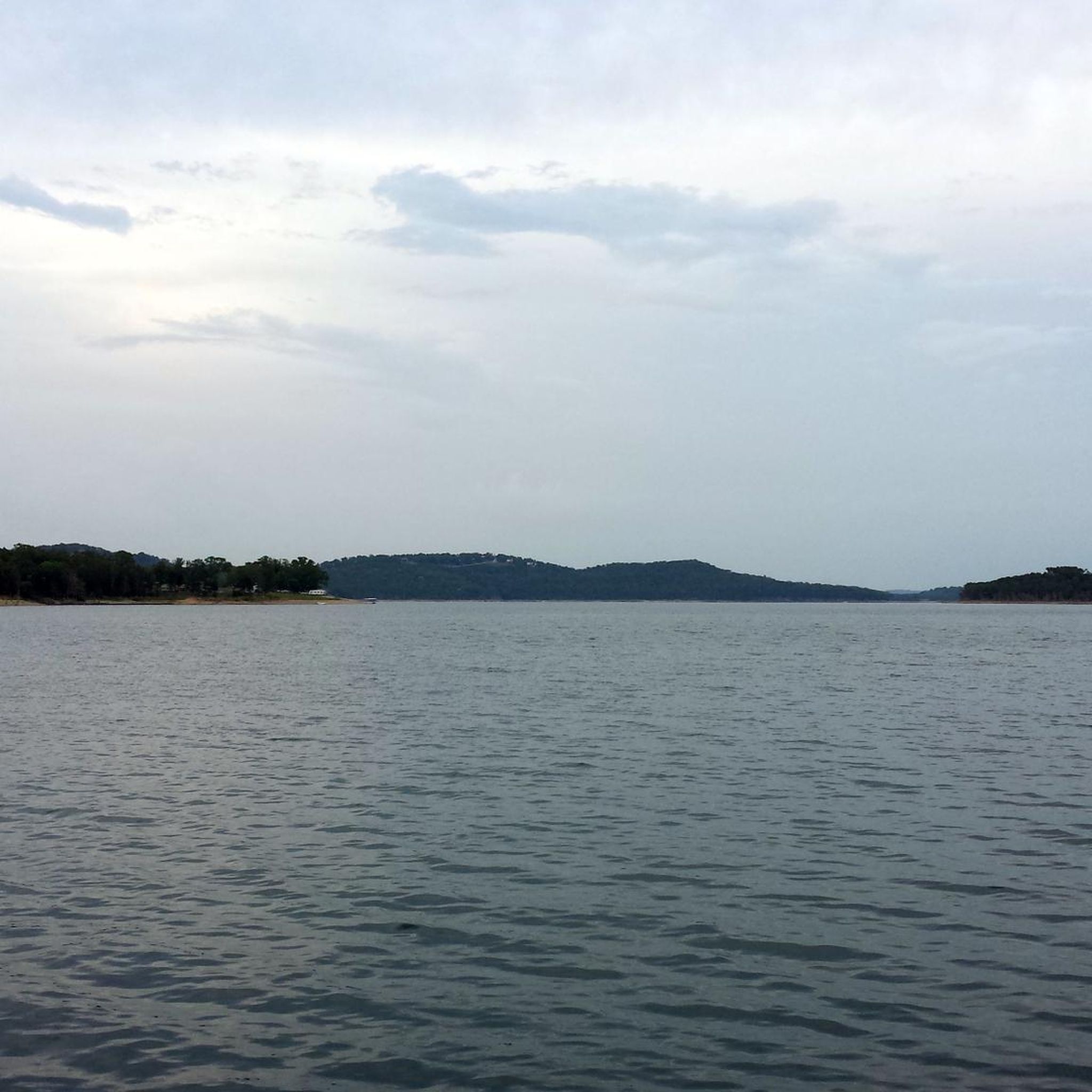
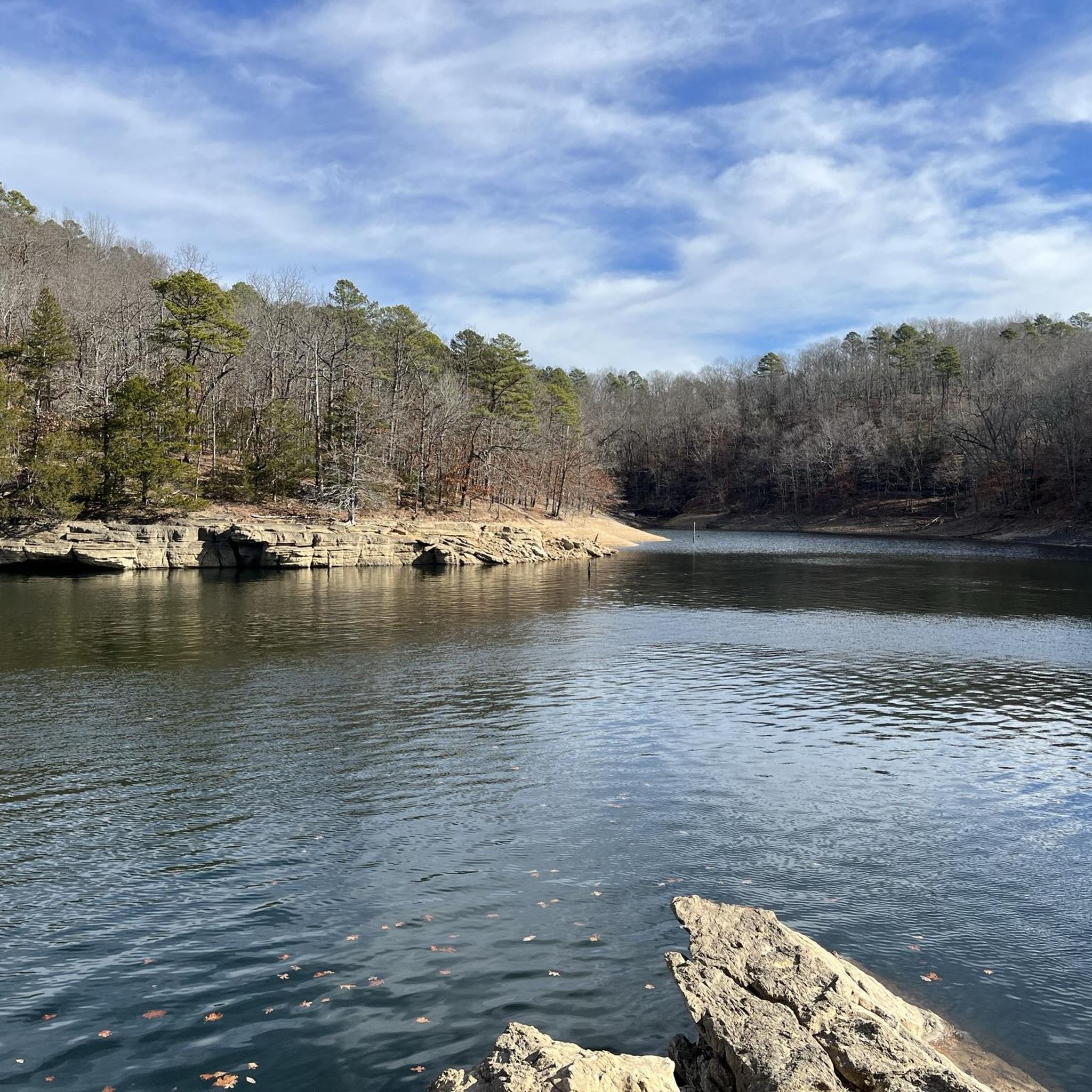



Tips from the Community

Great place to people watch and it's all lit up right now for Christmas
0
0

Bayyari Park sits on 7.4 acres of natural beauty. The park features a hiking trail, a nature area, open green space, a paved multi-use trail, a picnic area, and a playground. Acquired in 1995, this scenic park is perfect for outdoor activities and family outings.
0
0
Razorback Regional Greenway spans over 40 miles in total, and is popular with bikers and hikers. This fully paved section meets up with other paths at Lake Springdale, a scenic reservoir in JB Hunt Park.
0
0
The Bentonville City Square is smack dab in the middle of downtown Bentonville. This park is a true city center with nearby access to trails, parks, retail, restaurants, and museums. The park boasts public restrooms, picnic tables, a playground, parking, water fountains, benches, and electrical plugs.
0
0
This museum tells the story of Sam Walton and Walmart's history. Visitors can take a guided or self-guided tour any day from 8 a.m. to 9 p.m. There is a shop that serves ice cream and coffee inside.
0
0

The Razorback Regional Greenway runs along a beautiful boardwalk through downtown Springdale. The path follows Spring Creek and there are also picnic tables at the side of the boardwalk. So if you need a rest, this is an ideal spot.
0
0
This beautiful multi-use path lead is part of the Northwest Arkansas Razorback Regional Greenway that is altogether almost 38 miles long and takes you to spectacular places like the Lake Fayetteville.
0
0
Make a stop on the Clear Creek bridge and admire the beauty of the rocky streambed. By the way, the multi-use trail Razorback Regional Greenway is also called Clear Creek Trail from here on and follows the course of the creek for a few miles.
0
0
Frequently Asked Questions
How many road cycling routes are available around Beaver Lake?
There are currently 6 road cycling routes detailed around Beaver Lake, offering a range of experiences for cyclists. These include 3 easy and 3 moderate routes, ensuring options for various skill levels.
What kind of terrain can I expect on road cycling routes around Beaver Lake?
Road cycling around Beaver Lake features diverse terrain characteristic of the Ozark Mountains. You'll encounter limestone bluffs, forested hills, and expansive lake views. Many routes utilize paved surfaces and rolling hills, while some areas, particularly around Bentonville, present more significant climbs. The Razorback Regional Greenway offers extensive paved trails for smoother rides.
Are there road cycling routes suitable for beginners or families around Beaver Lake?
Yes, several routes are well-suited for beginners and families. The region offers 3 easy-rated routes. For example, the Clear Creek loop from Springdale is an easy 19.0-mile path. Additionally, routes like the Boardwalk along Spring Creek – Razorback Regional Greenway loop from Lowell are mostly paved and suitable for all skill levels, utilizing the accessible Razorback Regional Greenway.
What are some challenging road cycling routes for experienced riders?
For experienced riders seeking a challenge, the region offers routes with significant climbs and descents. While not explicitly listed in the provided routes, the Bentonville area is known for routes like a 41-mile option with large climbs starting around mile 22, and a 67-mile 'Bentonville Killer Loop' featuring numerous ascents and descents. The Lake Fayetteville Trail – Clear Creek loop from Hickory Creek Park is a moderate 40.8-mile route with over 575 meters of elevation gain, providing a good workout.
Are there any loop road cycling trails around Beaver Lake?
Yes, many of the road cycling routes around Beaver Lake are designed as loops. For instance, the Lake Fayetteville Trail – Clear Creek loop from Hickory Creek Park and the Boardwalk along Spring Creek – Razorback Regional Greenway loop from Lowell are popular loop options, allowing you to start and end at the same point.
What landmarks or natural features can I see along the road cycling routes?
Road cycling routes around Beaver Lake offer scenic views of the Ozark Mountains, forested hills, and the expansive clear waters of Beaver Lake. You might pass by the Beaver Pond Observation Deck, which provides an opportunity to view wetlands. The Downtown Rogers – Crystal Bridges Trail loop from Rogers connects to the Crystal Bridges Museum of American Art, which is set within 120 acres of Ozark nature.
What do other road cyclists enjoy most about road cycling in Beaver Lake?
The area is highly rated by the komoot community, with an average score of 3.0 stars. Road cyclists often praise the diverse terrain, from easy paved paths along the Razorback Regional Greenway to more challenging routes with significant climbs. The scenic beauty of the Ozark Mountains and the clear lake views are frequently highlighted as major attractions.
Is public transport available to access cycling routes around Beaver Lake?
While specific public transport options directly to trailheads around Beaver Lake are limited, the Razorback Regional Greenway connects several communities, potentially offering access points if public transport serves those towns. For detailed information on local transit, it's best to check with the specific municipalities in the Beaver Lake area.
Where can I find parking for road cycling trails around Beaver Lake?
Many routes start from parks or public areas that offer parking. For example, the Lake Fayetteville Trail – Clear Creek loop begins from Hickory Creek Park, which typically has parking facilities. Similarly, routes starting from towns like Lowell, Springdale, or Rogers will often have accessible parking near their starting points or along the Razorback Regional Greenway.
What is the best time of year for road biking around Beaver Lake?
The spring and fall seasons generally offer the most pleasant conditions for road biking around Beaver Lake, with milder temperatures and beautiful foliage. Summers can be warm and humid, while winters are typically mild but can have occasional cold snaps. Always check the local weather forecast before heading out.
Are there any dog-friendly cycling routes around Beaver Lake?
While the Razorback Regional Greenway is generally dog-friendly, specific rules may apply regarding leashes and waste disposal. It's always recommended to check local regulations for individual trails or parks before bringing your dog. Some natural areas or state parks might have restrictions on pets on certain trails.
Are there cafes or places to stop for refreshments along the road cycling routes?
Many routes, especially those that pass through or near towns like Lowell, Springdale, Rogers, or Bentonville, will have access to cafes, restaurants, and other amenities. The Razorback Regional Greenway, in particular, connects communities with various establishments where you can stop for refreshments. For more information on bike-friendly businesses in the wider area, you can visit Visit Bentonville's cycling resources.
Most popular routes around Beaver Lake

Get inspired with the komoot mobile app


Explore more
Browse the best Road cycling routes in other regions.
