The best road cycling routes around Rural Municipality of Springfield
5.0
(20)
277
riders
13
rides
Road cycling around Rural Municipality of Springfield offers diverse landscapes, transitioning from urban edges to agricultural lands and natural areas. The region is characterized by open prairie, forests, and wetlands, with numerous natural springs. Birds Hill Provincial Park, a central feature, provides a network of paved trails and roads suitable for road bikes. This varied environment allows for routes that traverse both cultivated fields and protected natural spaces.
Best road cycling routes around Rural Municipality of Springfield
- The most popular…
Last updated: July 10, 2026
54
riders
Moderate road ride. Good fitness required. Some segments of this route may be unpaved and difficult to ride.
5.0
(3)
52
riders
27.7km
01:10
30m
30m
Easy road ride. Great for any fitness level. Mostly well-paved surfaces and easy to ride.

Sign up for free
4.9
(12)
39
riders
39.8km
01:50
60m
60m
Moderate road ride. Great for any fitness level. Some segments of this route may be unpaved and difficult to ride.
17
riders
41.8km
02:02
50m
50m
Moderate road ride. Good fitness required. Some segments of this route may be unpaved and difficult to ride.
19
riders
39.4km
01:34
50m
50m
Moderate road ride. Great for any fitness level. Some segments of this route may be unpaved and difficult to ride.
Get access to more routes and recommendations from other explorers.
Sign up for free
Already have an account?
Our route recommendations are based on thousands of hikes, rides, and runs completed by other people on komoot.
Start today with a free account
Your next adventure awaits.
Login or Signup
Tips from the Community

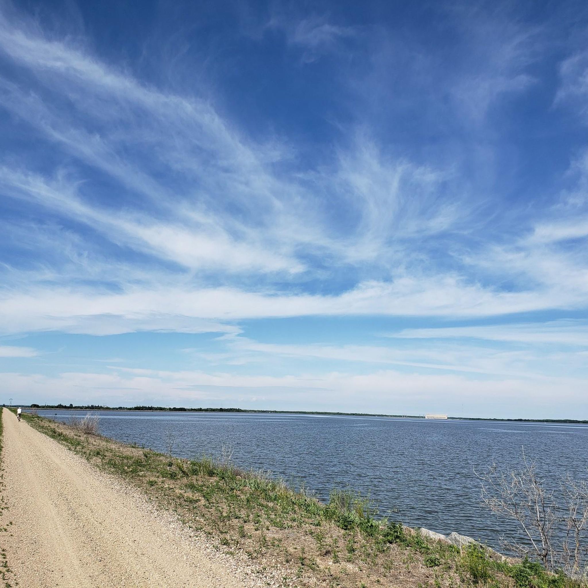
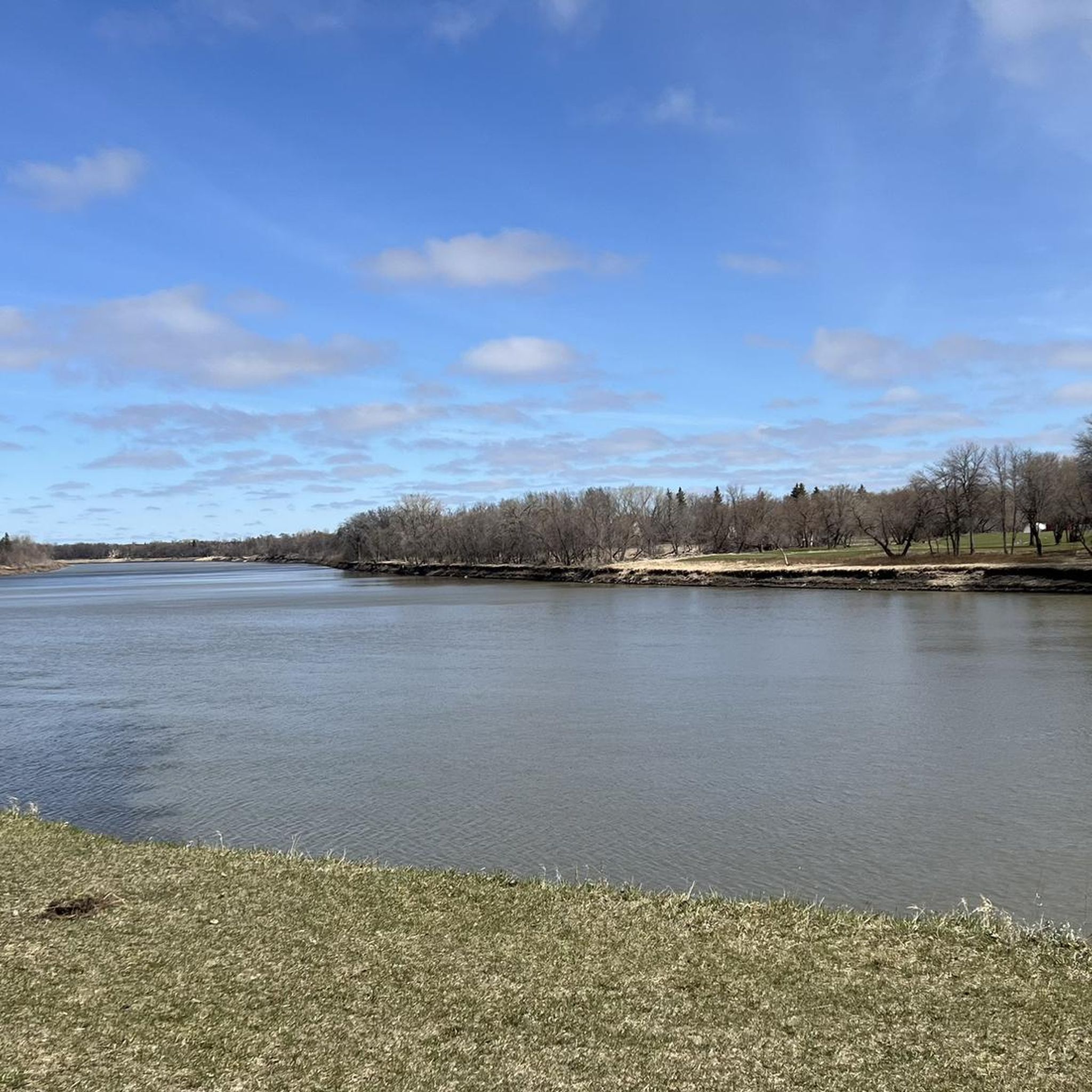
The Red River is a broad, slow-moving body of water, fed by snowy mountains and flowing through mellow prairie land. The water levels will be higher in spring and flowing stronger. Watch out for alerts when the water level is high, as parts of the Saint Adolphe Friendship Trail can sometimes be subjected to flooding.
0
0
The quaint community of Saint Adolphe sits just south of Winnipeg and due east of the Red River, surrounded by quiet prairie. This rural town has French roots, and though not a crowded tourist destination, it's a cute town to stop in. From this part of the Saint Adolphe Friendship Trail is the closest access point to town for food and drink. Take Saint Paul Road east for a few blocks, and you'll find a few affordable restaurants.
0
0

This small park sits at the foot of Winnipeg's historic Maryland Bridge. You'll have access to the Assiniboine River as well as open grassy areas, and the pedestrian & cycle crossings that run along the bridge.
0
0
This 1,070-kilometer river flows across the Canadian prairies before joining the Red River in Winnipeg. The river was named in honour of the Assiniboine First Nations people who have lived along its route for millennia.
0
0

The Forks is the heart of Winnipeg. Frequented by Indigenous peoples thousands of years ago, it is now home to a pleasant park on the banks of the Red and Assiniboine Rivers, the Canadian Museum for Human Rights, and a lively market hall with shops and restaurants.
0
0

This is a beautiul spot with a lovely bench situated right along the river, where you can take in the view of its forested banks and the gently flowing water as it passes you by. It’s the perfect place for a scenic short break or a trailside snack, and is especially beautiful in the late afternoon when the light hits the river just right.
0
0
Crescent Drive Park is a beautiful 25-hectare riverside green space, with mature trees, quiet trails, and open picnic areas. There is a year-round pavilion with a fireplace and patio, a 9-hole golf course at its centre, a playground, and a network of walking paths with access to the Red River, making it a popular spot for relaxed strolls, family gatherings, and year-round outdoor enjoyment.
0
0
The Sturgeon Creek Trail is a lovely, four kilometre crushed limestone multi-use path that traces a peaceful corridor through west Winnipeg, following the creek past open meadows, shaded woods, and quiet residential pockets. You’ll cross several footbridges and pass interpretive signs that highlight the area’s natural and cultural history, including connections to Indigenous communities. There are plenty of benches and picnic spots along the way that are ideal for birdwatching or a relaxed afternoon by the water.
0
0
Frequently Asked Questions
How many road cycling routes are available in the Rural Municipality of Springfield?
You'll find over a dozen dedicated road cycling routes in the Rural Municipality of Springfield, offering a variety of experiences. These routes are highly rated by the komoot community, with an average score of 5.0 stars.
Are there easy road cycling routes suitable for beginners or casual riders?
Yes, there are several easy routes perfect for beginners or those looking for a relaxed ride. For instance, the Birds Hill Provincial Park loop from Birds Hill Provincial Park is an easy 8.5-mile (13.7 km) path that offers a scenic journey through the park's diverse environments.
What kind of landscapes can I expect to see while road cycling in the Rural Municipality of Springfield?
The region offers a diverse range of landscapes, transitioning from urban edges to vast agricultural lands and natural areas. You'll encounter open prairie, forests, and wetlands, with routes often passing by natural springs. Birds Hill Provincial Park, a central feature, provides a mix of these environments.
Are there any loop road cycling routes in the area?
Many of the road cycling routes in the Rural Municipality of Springfield are designed as loops, providing convenient starting and ending points. A notable example is the Esplanade Riel Footbridge – Sturgeon Creek Trail loop from Winnipeg, which offers a moderate ride along urban and natural waterways.
What are some scenic road cycling routes in the Rural Municipality of Springfield?
For scenic rides, the routes within Birds Hill Provincial Park are highly recommended, offering views of mixed prairie, forest, and wetland environments. The park's perimeter road, approximately 11 km, is frequently used by cyclists and provides diverse scenery. Routes that traverse the agricultural lands also offer picturesque views of the rural landscape.
What attractions or points of interest can I see along the road cycling routes?
Many routes offer opportunities to see local attractions. For example, some routes pass by the Esplanade Riel Footbridge. Within Birds Hill Provincial Park, you can explore the Birds Hill Provincial Park itself, which features diverse ecosystems and the Birds Hill Quarry Lake.
Are there family-friendly road cycling options in the Rural Municipality of Springfield?
Birds Hill Provincial Park is an excellent destination for family-friendly cycling. It features a 7.2-kilometer paved loop trail around Kingfisher Lake, which is popular for both walking and cycling, making it a safe and enjoyable option for families.
Where can I find parking for road cycling routes in the Rural Municipality of Springfield?
Birds Hill Provincial Park, a major cycling hub in the region, offers ample parking facilities for visitors. For routes starting closer to urban areas, specific parking information would be available on the individual route pages.
What is the best time of year to go road cycling in the Rural Municipality of Springfield?
The warmer months, typically from spring through fall, are ideal for road cycling in the Rural Municipality of Springfield, offering pleasant weather conditions. During these seasons, the diverse landscapes are vibrant, and park facilities are fully operational.
What do other road cyclists enjoy most about cycling in the Rural Municipality of Springfield?
The area is highly rated by the komoot community, with an average score of 5.0 stars from over 20 reviews. Reviewers often praise the well-maintained paved trails within Birds Hill Provincial Park, the diverse scenery ranging from prairie to forest, and the overall accessibility of the routes for various skill levels.
Are there any longer or more challenging road cycling routes available?
Yes, for those seeking longer rides, routes like the Manitoba Railway Museum – Esplanade Riel Footbridge loop from Winnipeg cover over 40 miles (65 km) and typically take around 3 hours to complete, offering a moderate challenge through urban and riverine landscapes.
Can I find amenities like restrooms or water along the road cycling routes?
Birds Hill Provincial Park, a key cycling destination, provides amenities such as restrooms and water facilities, especially around its main activity areas. For routes outside the park, it's advisable to check the specific route details on komoot or plan stops in nearby communities like Oakbank.
Most popular routes around Rural Municipality of Springfield
Most popular attractions around Rural Municipality of Springfield

Get inspired with the komoot mobile app


Explore more
Browse the best Road cycling routes in other regions.
