The best mountain hikes around Speicher Oscheniksee
4.9
(38)
299
hikers
5
hikes
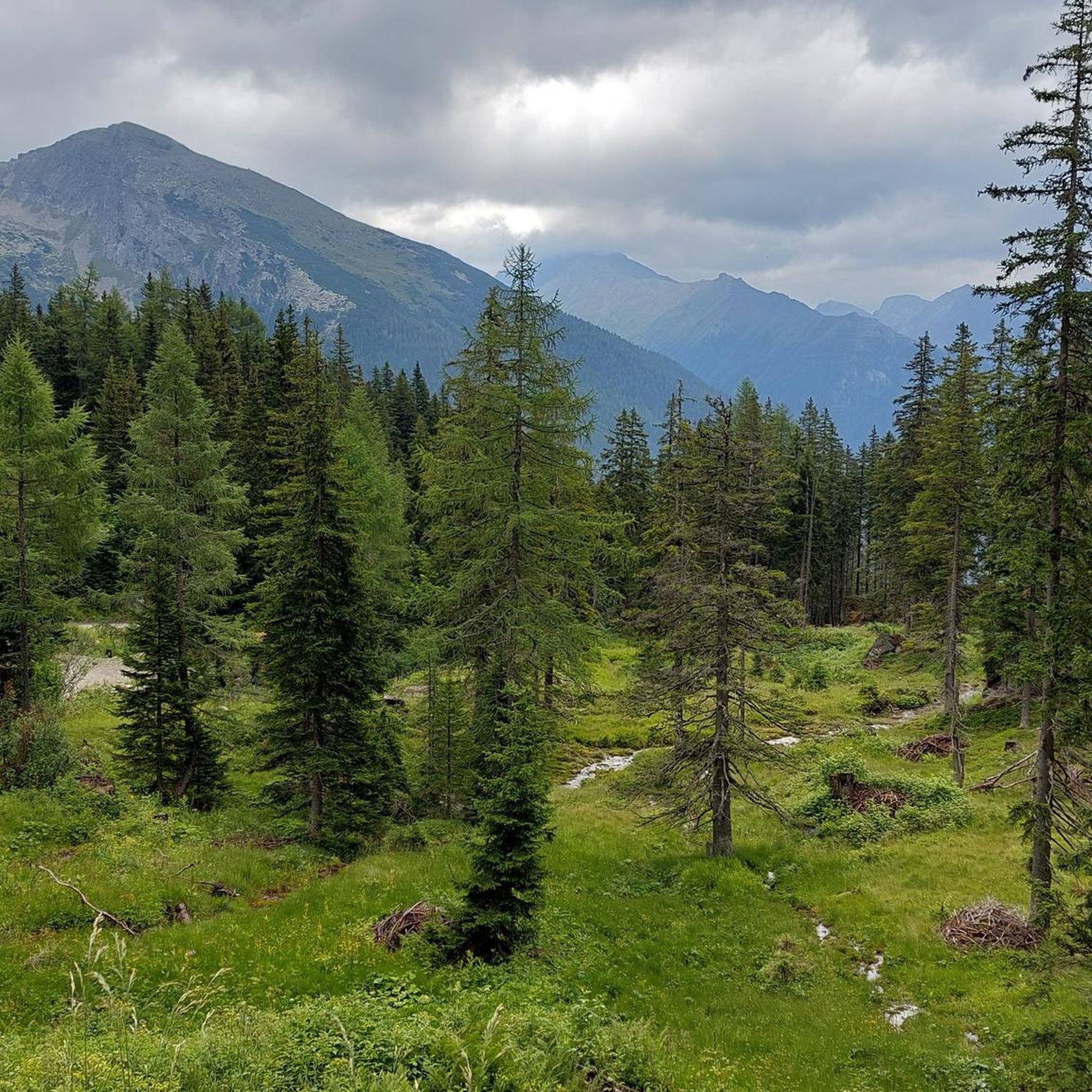
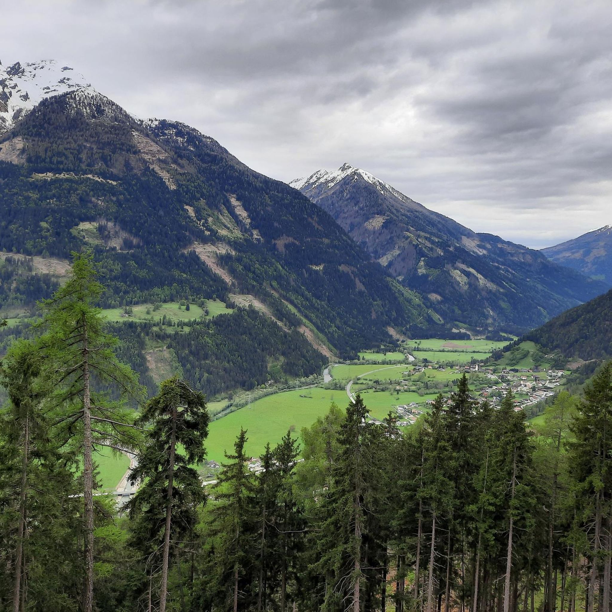
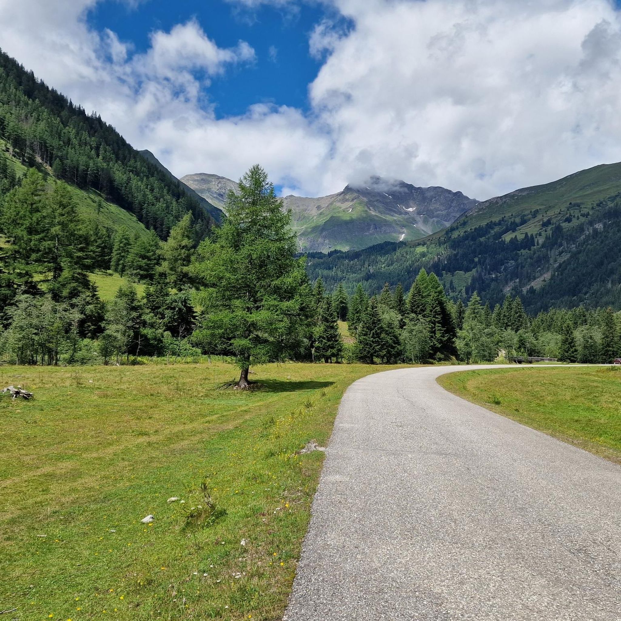
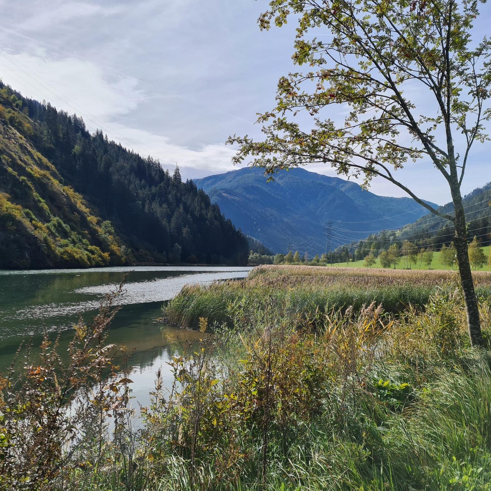
Mountaineering routes around Speicher Oscheniksee traverse a diverse high-alpine landscape, characterized by glacial reservoirs, rugged peaks, and deep valleys. The region features challenging ascents to prominent summits and ridges, alongside paths through forested areas and past impressive gorges. This terrain offers varied conditions for mountaineers, from exposed rock sections to more sheltered valley routes.
Best mountaineering routes around Speicher Oscheniksee
- The most popular mountaineering route is Tauern Cross – Hagener Hut loop from Jamnigalm Parkplatz, a 11.1 miles (17.8…
Last updated: October 11, 2026
19
hikers
17.8km
07:44
1,220m
1,220m
Hard mountaineering route. Very good fitness required. Sure-footedness, sturdy shoes and alpine experience required.
4.7
(3)
10
hikers
Hard mountaineering route. Good fitness required. Sure-footedness, sturdy shoes and alpine experience required.

4.8
(5)
37
hikers
12.4km
05:51
1,260m
1,260m
Hard mountaineering route. Very good fitness required. Mostly accessible paths. Sure-footedness required.
5.0
(2)
13
hikers
Hard mountaineering route. Good fitness required. Sure-footedness, sturdy shoes and alpine experience required.
5.0
(3)
5
hikers
18.1km
07:56
1,080m
1,080m
Hard mountaineering route. Very good fitness required. Sure-footedness, sturdy shoes and alpine experience required.
Our route recommendations are based on thousands of hikes, rides, and runs completed by other people on komoot.
Start today with a free account
Your next adventure awaits.
Tips from the Community

The Herzogsteig and then the last meters to the summit challenged me, but you are rewarded with a fairytale view of the path and at the summit.
0
0
Was heavily impressed by the local mountain of Mallnitz, respect. Arrived by train and it started right behind the train station, a nice moderate tour up to the Wollinger Hütte. But then a demanding tour over the Herzogsteig. The view is a fairy tale in itself. Also cool that you are officially moving within the Hohe Tauern National Park on this mountain tour.
0
0

Very modern, well-equipped hut, but also more expensive, especially the breakfast at 22 euros.
0
0

Walking partly along the bypass road and working along the track to the middle gondola station. Continue along the runway to the upper gondola station at 2630 m.
0
0

Very nice to walk to Auernig. Regret that I did not do another part of the degree.
0
0

Nice hut with friendly host and delicious food
1
1

Memorial cross with stone altar in front.
2
0

The Hagener Hütte has an outbuilding that serves as a winter room. Unfortunately there was no oven (as of January 2024), which is why it was very cold at night. Otherwise, the winter room is very clean and the warehouse is equipped with lots of blankets. The view is great!
1
0
Frequently Asked Questions
How many mountaineering routes are available around Speicher Oscheniksee?
There are several mountaineering routes around Speicher Oscheniksee, offering a diverse range of experiences. Our guide highlights 6 distinct routes, catering to various skill levels from easy walks to challenging summit attempts.
Are there any easy mountaineering routes suitable for beginners or families?
Yes, the region offers options for those seeking a less strenuous experience. An excellent choice is the Raggaschlucht Gorge loop from Flattach, an easy 3.8 km trail that takes you through a dramatic gorge, perfect for a shorter outing.
What kind of challenges can I expect on the more difficult mountaineering routes?
The more challenging routes in Speicher Oscheniksee often feature significant elevation gains and longer distances, traversing high-alpine terrain with rugged peaks and exposed sections. For instance, the View of Hochalmspitze – Hannoverhaus loop from Stappitzer See is a difficult 12.4 km route with over 1200 meters of ascent, offering extensive views and a demanding experience.
Are there circular mountaineering routes available?
Many of the routes around Speicher Oscheniksee are designed as circular tours, allowing you to start and end at the same point. Examples include the popular Tauern Cross – Hagener Hut loop from Jamnigalm Parkplatz and the moderate Auernig Ridge loop from Dösen.
What is the best time of year for mountaineering around Speicher Oscheniksee?
The prime season for mountaineering around Speicher Oscheniksee is typically from late spring to early autumn (June to September), when trails are generally free of snow and weather conditions are more stable. Always check local weather forecasts and trail conditions before heading out, especially in the shoulder seasons.
Can I bring my dog on the mountaineering trails?
While many trails in the region are dog-friendly, it's always best to check specific regulations for each route or protected area. High-alpine environments can pose challenges for dogs, and some areas may require leashes or have restrictions due to wildlife or grazing animals. Always ensure your dog is well-behaved and physically capable of the chosen route.
Are there any routes that offer views of the glacial reservoirs or prominent peaks?
Absolutely. The region is characterized by its glacial reservoirs and rugged peaks. Routes like the Kitzsteinhorn Reservoir – Kitzsteinhorn Summit Cross loop from Mölltaler Gletscher provide stunning vistas of the high-alpine landscape, including the impressive reservoirs and surrounding summits.
What do other mountaineers say about the routes in Speicher Oscheniksee?
The mountaineering routes around Speicher Oscheniksee are highly regarded by the komoot community, with an average rating of 4.95 stars from over 50 reviews. Reviewers often praise the diverse high-alpine landscape, the challenging ascents, and the extensive views across the Tauern range.
Is public transport available to access the trailheads?
Access to trailheads by public transport can vary. While some starting points might be reachable by local bus services, many high-alpine routes often require private vehicle access or a shuttle service. It's advisable to research specific transport options for your chosen trailhead in advance.
Are there places to eat or drink near the mountaineering routes?
Depending on the specific route, you may find mountain huts (Hütten) or guesthouses (Gasthäuser) that offer refreshments and meals. For example, the Tauern Cross – Hagener Hut loop from Jamnigalm Parkplatz passes by the Hagener Hut, providing an opportunity for a break. It's always a good idea to check opening times and availability, especially outside peak season.
What are the typical distances and elevation gains for routes in this area?
The routes around Speicher Oscheniksee vary significantly. You can find shorter, easier paths like the 3.8 km Raggaschlucht Gorge loop with 241 meters of ascent, up to demanding tours such as the 17.8 km Tauern Cross – Hagener Hut loop, which involves over 1200 meters of elevation gain.
Most popular routes around Speicher Oscheniksee

Get inspired with the komoot mobile app


Explore more
Browse the best Mountain Hikes & Routes in other regions.
