The best walks and hikes around Speicher Oscheniksee
4.6
(4464)
23,257
hikers
163
hikes
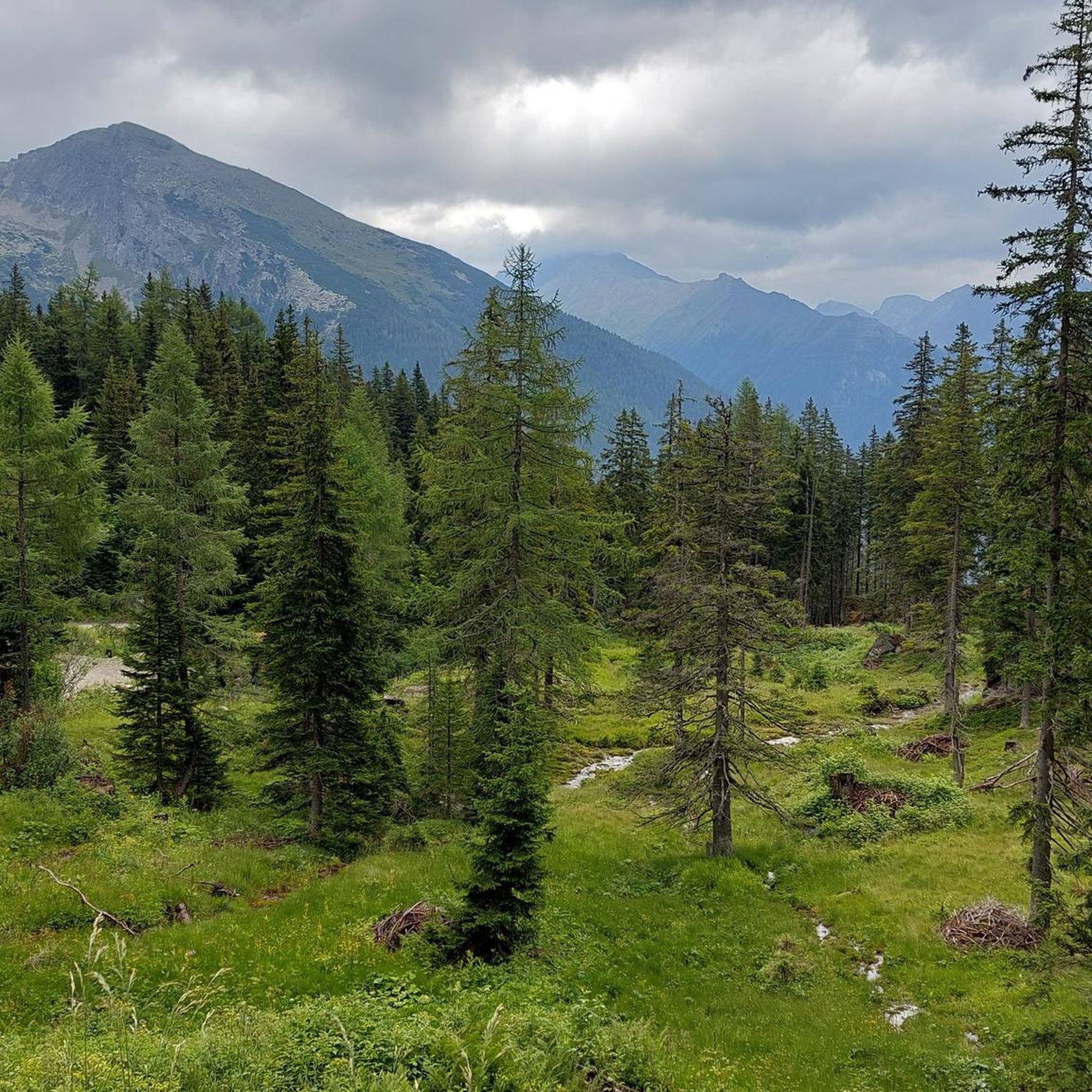
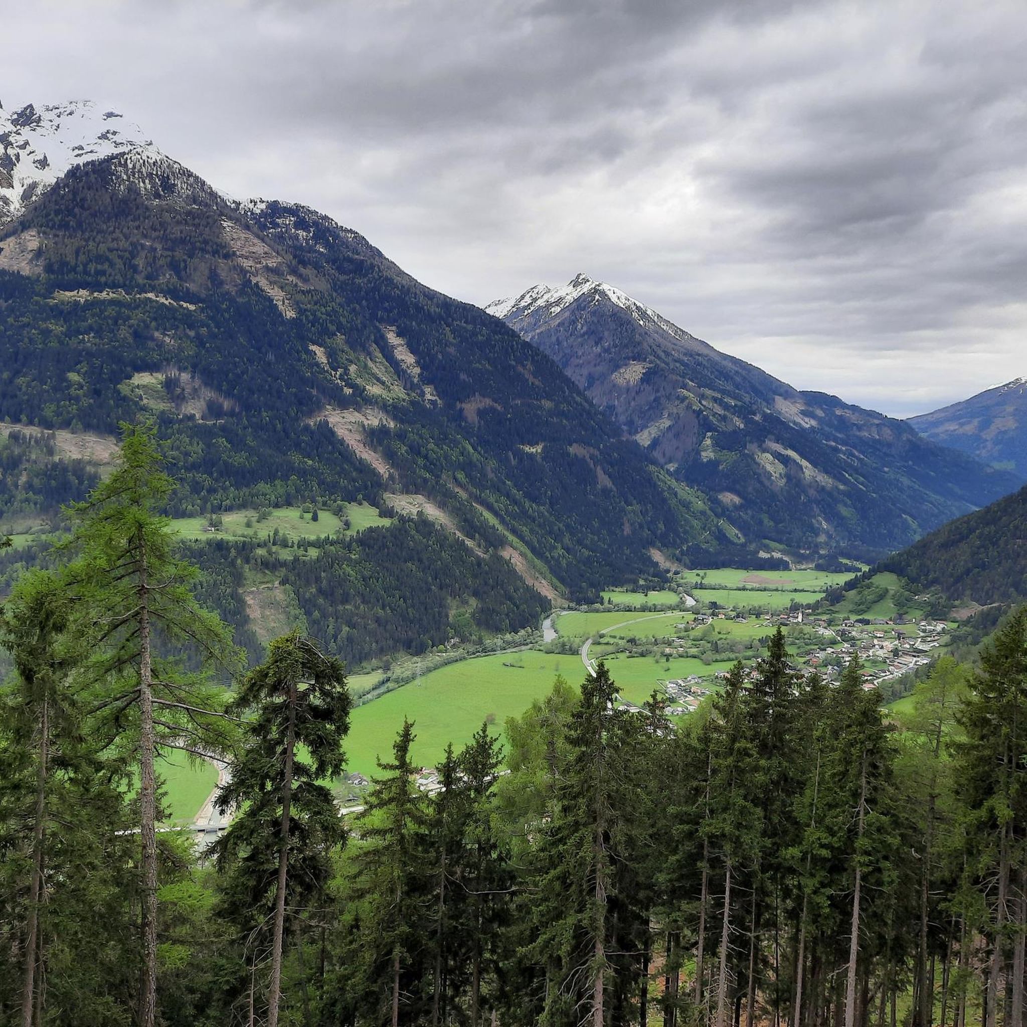
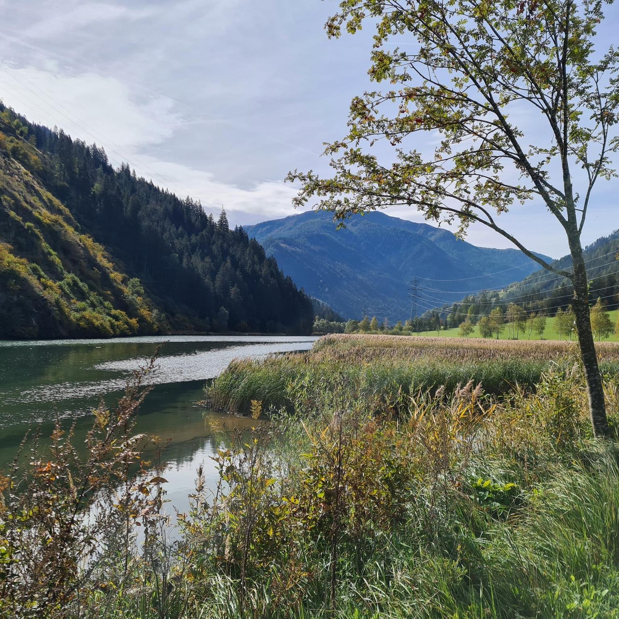
Hiking around Speicher Oscheniksee offers a diverse alpine experience in the Carinthian mountains. The region is characterized by high-altitude reservoirs, rugged peaks, and expansive mountain pastures. Trails often traverse rocky terrain and lead to remote alpine huts, providing views of the surrounding Hohe Tauern range. The landscape transitions from forested valleys to open, exposed ridges above the tree line.
Best hiking trails around Speicher Oscheniksee
- The most popular hiking route is Approach to Hagener Hütte from the Jamnigalm, a…
Last updated: June 25, 2026
4.9
(42)
272
hikers
12.4km
04:28
750m
750m
Hard hike. Good fitness required. Sure-footedness, sturdy shoes and alpine experience required.
5.0
(6)
38
hikers
15.5km
06:26
1,090m
1,090m
Hard hike. Very good fitness required. Sure-footedness, sturdy shoes and alpine experience required.

Sign up for free
5.0
(2)
43
hikers
18.5km
07:47
1,220m
1,220m
Hard hike. Very good fitness required. Sure-footedness, sturdy shoes and alpine experience required.
4
hikers
2.75km
00:54
130m
130m
Easy hike. Great for any fitness level. Easily-accessible paths. Suitable for all skill levels.
4.8
(6)
32
hikers
10.9km
04:16
810m
810m
Moderate hike. Good fitness required. Easily-accessible paths. Suitable for all skill levels.
Get access to more routes and recommendations from other explorers.
Sign up for free
Already have an account?
Our route recommendations are based on thousands of hikes, rides, and runs completed by other people on komoot.
Start today with a free account
Your next adventure awaits.
Login or Signup

Tips from the Community

Very modern, well-equipped hut, but also more expensive, especially the breakfast at 22 euros.
0
0


View towards Duisburger Hütte and the Tauern Valley
0
0

Nice hut with friendly host and delicious food
1
1

Memorial cross with stone altar in front.
2
0

The Hagener Hütte has an outbuilding that serves as a winter room. Unfortunately there was no oven (as of January 2024), which is why it was very cold at night. Otherwise, the winter room is very clean and the warehouse is equipped with lots of blankets. The view is great!
1
0
Natural idyll on the Jamnigalm in the Tauerntal The Tauern Valley impresses with its lush green mountain meadows, which transform the valley into a veritable sea of flowers in early summer. The Romans crossed the main Alpine ridge here over 2,000 years ago. The Tauerntal goes uphill on a good mountain road to the parking lot at an altitude of 1,680 m. After a few minutes you reach the Jamnigalm, from where you can enjoy an indescribable view of the mighty valley basin with the dominant Geißelkopf (2,974 m). We continue on the wide hiking trail quite leisurely uphill, past an enchanted landslide forest along the “Alte Römerstraße” past the Tauern Cross to the Tauernhaus. You will soon see the proud Hagener Hut at the top of the pass, the worthwhile destination of this wonderful mountain hike. https://www.mallnitz.at/ausflugs targets/jamnigalm
3
0

€5 fees that are worth it
0
0
Frequently Asked Questions
What are the general difficulty levels of hiking trails around Speicher Oscheniksee?
The Speicher Oscheniksee region offers a range of hiking difficulties. You'll find 48 easy routes, 75 moderate trails, and 42 difficult paths. The landscape transitions from forested valleys to open, exposed ridges above the tree line, with many trails traversing rocky terrain and leading to remote alpine huts.
Are there any easy, family-friendly hiking options near Speicher Oscheniksee?
Yes, there are several easy options suitable for families. For a shorter, less strenuous walk, consider the Jamnigalm Trailhead Parking – Jamnigalm loop from Jamnigalm Parkplatz. This easy route is just 1.7 miles (2.7 km) long with minimal elevation gain, perfect for a leisurely stroll.
Where can I park my car when hiking around Speicher Oscheniksee?
Many popular routes, including those leading to the Hagener Hütte, start from the Jamnigalm Parkplatz. This is a common trailhead for accessing the high alpine trails in the area. Always check local signage for parking regulations and fees.
Are there any circular hiking routes available?
Yes, the region features several excellent loop trails. A notable one is the Hagener Hut – Jamnigalm loop from Jamnigalm Parkplatz, a difficult 9.7 miles (15.6 km) path that explores high alpine terrain and offers expansive views. Another option is the Jamnigalm – Hagener Hut loop from Jamnigalm Parkplatz, an 11.4 miles (18.4 km) trail through alpine meadows and rocky slopes.
What is the best time of year to hike in the Speicher Oscheniksee area?
The best time for hiking around Speicher Oscheniksee is typically from late spring to early autumn (June to September). During these months, the snow has usually melted from higher elevations, and the weather is generally more stable, making alpine trails accessible. Always check current weather and trail conditions before heading out.
Are dogs allowed on the hiking trails around Speicher Oscheniksee?
Generally, dogs are welcome on hiking trails in the region. However, it's crucial to keep them on a leash, especially in alpine pastures where livestock may be present, and to clean up after them. Some protected areas or specific huts might have restrictions, so always look for local signage.
Are there any waterfalls to see on the trails?
Yes, the region offers natural attractions like waterfalls. For example, the Innerfragant Waterfall – Fraganter Schutzhaus loop from Innerfragant is a moderate 6.8 miles (10.9 km) route that includes a visit to the Innerfragant Waterfall.
What kind of views can I expect on the hikes?
Hikers can expect breathtaking panoramic mountain vistas, especially on routes like the Approach to Hagener Hütte from the Jamnigalm. The trails often lead to high-altitude reservoirs, rugged peaks, and expansive mountain pastures, offering views of the surrounding Hohe Tauern range.
What do other hikers enjoy most about the Speicher Oscheniksee region?
The area is highly rated by the komoot community, with an average score of 4.6 stars from over 4,300 reviews. Hikers frequently praise the challenging high alpine trails, the stunning mountain lakes, and the traditional huts that provide a unique alpine experience.
Are there any huts or places to stop for refreshments along the trails?
Yes, many trails in the region lead to or pass by traditional alpine huts. The Hagener Hütte is a prominent example, serving as a destination or a stopover point on several routes. These huts often offer refreshments and sometimes overnight stays, providing a welcome break during longer hikes.
Is public transport available to reach the trailheads?
While specific public transport options can vary by season and exact trailhead, some areas in the Hohe Tauern region are accessible by bus services, particularly during peak hiking season. It's advisable to check local bus schedules for the Mölltal or Maltatal valleys, which connect to areas like Jamnigalm, before planning your trip.
Are there any permits required for hiking in this area?
Generally, no specific hiking permits are required for day hikes on marked trails around Speicher Oscheniksee. However, as part of the Hohe Tauern National Park, certain regulations apply to protect the environment. Always stay on marked paths and respect wildlife. If planning multi-day tours or specific activities, it's wise to check with the National Park authority for any special requirements.
Most popular routes around Speicher Oscheniksee

Get inspired with the komoot mobile app


Explore more
Browse the best Hikes in other regions.
