The best cycling routes around Silvretta-Stausee
4.5
(174)
2,054
riders
15
rides
Touring cycling routes around Silvretta-Stausee traverse a high-alpine landscape characterized by rugged mountains, vast meadows, and prominent reservoirs like Silvretta, Vermunt, and Kops. The region features the challenging Silvretta High Alpine Road, known for its hairpin bends and significant elevation gain, leading to the Bielerhöhe Pass. Lower sections of the valleys offer segregated bike paths, providing varied terrain for cyclists. This area provides a range of routes from demanding mountain ascents to easier valley rides.
Best touring cycling routes around…
Last updated: October 11, 2026
4.5
(10)
108
riders
27.3km
02:20
640m
640m
Hard bike ride. Very good fitness required. Mostly paved surfaces. Suitable for all skill levels.
5.0
(2)
52
riders
13.9km
01:37
450m
460m
Hard bike ride. Very good fitness required. Mostly paved surfaces. Suitable for all skill levels.

4.7
(15)
186
riders
32.8km
01:36
60m
550m
Easy bike ride. Great for any fitness level. Mostly paved surfaces. Suitable for all skill levels.
4.5
(15)
175
riders
18.6km
01:17
270m
270m
Moderate bike ride. Good fitness required. Mostly paved surfaces. Suitable for all skill levels.
4.4
(16)
119
riders
Moderate bike ride. Good fitness required. Mostly paved surfaces. Suitable for all skill levels.
Get access to more routes and recommendations from other explorers.
Already have an account?
Our route recommendations are based on thousands of hikes, rides, and runs completed by other people on komoot.
Start today with a free account
Your next adventure awaits.
Popular around Silvretta-Stausee

Min Weag long-distance hiking trail – From Lake Constance to the Alps
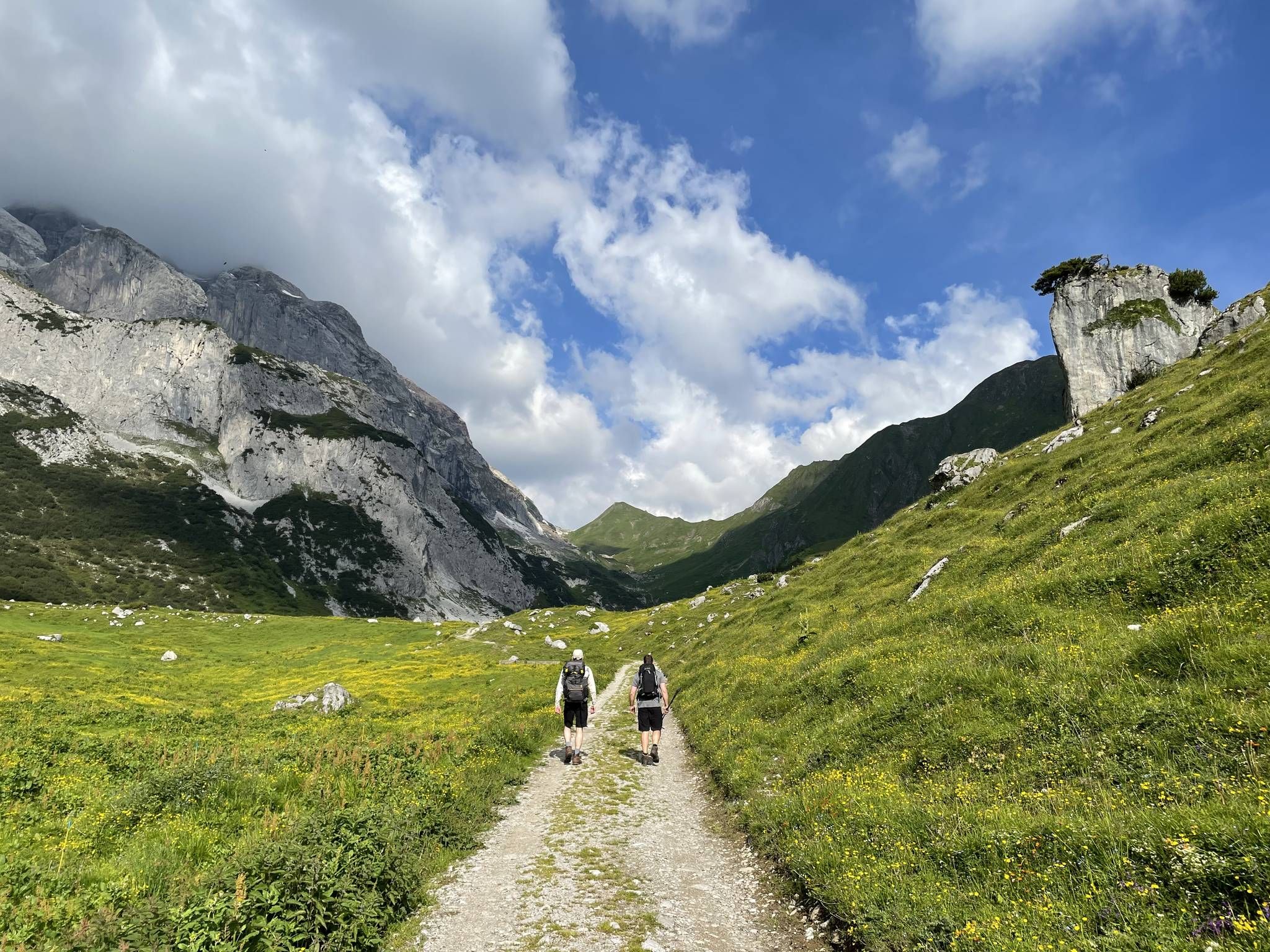
Montafon Hut-to-Hut Hiking Trail – 13 days in Western Austria
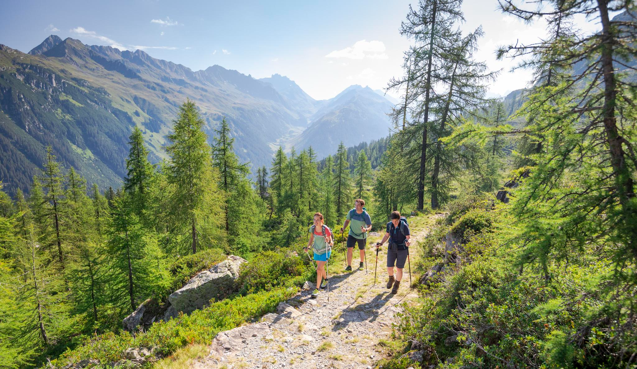
Between Maisäß and Alpe – hiking in Montafon
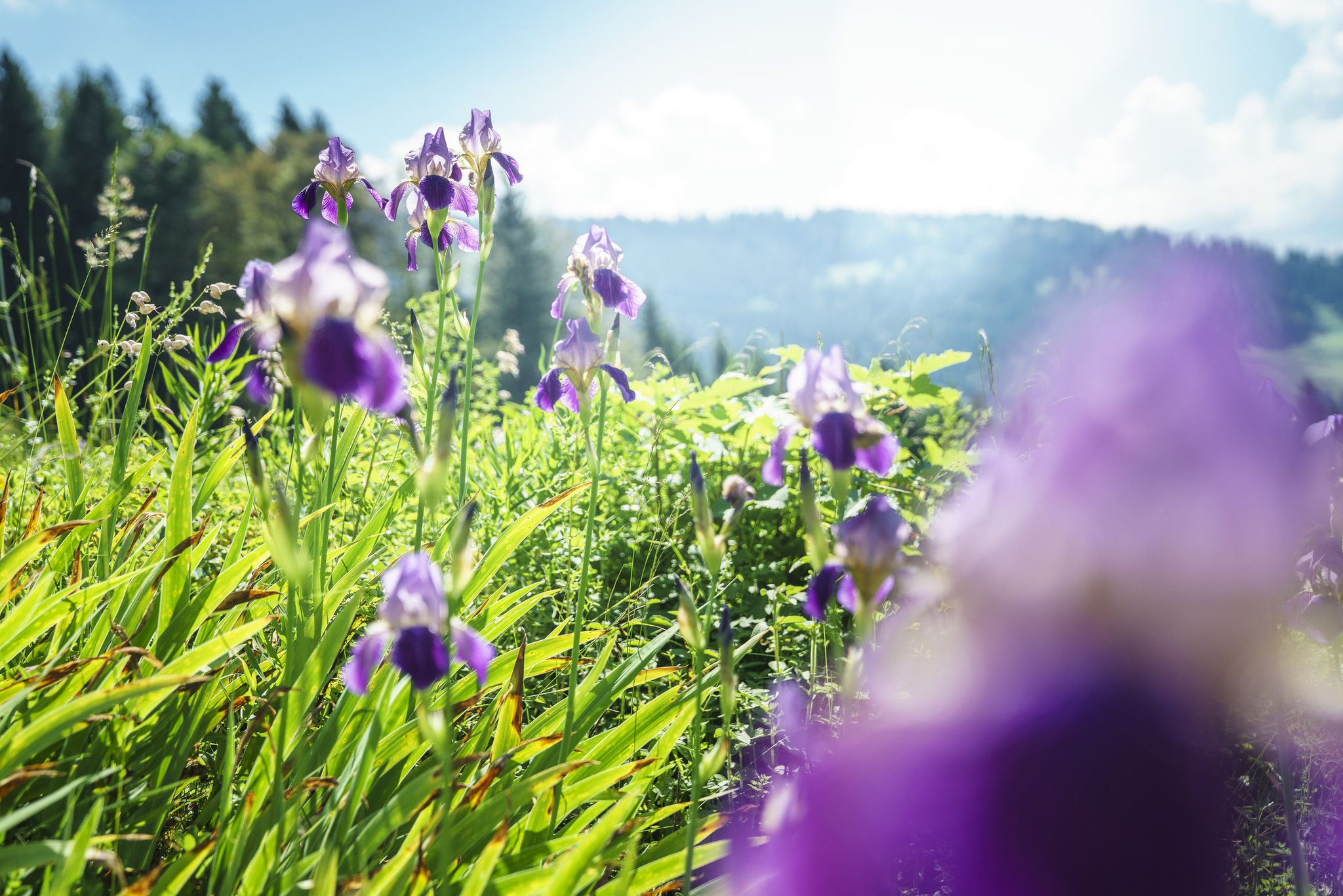
Between moors, meadows and glaciers – discover Vorarlberg's natural beauty
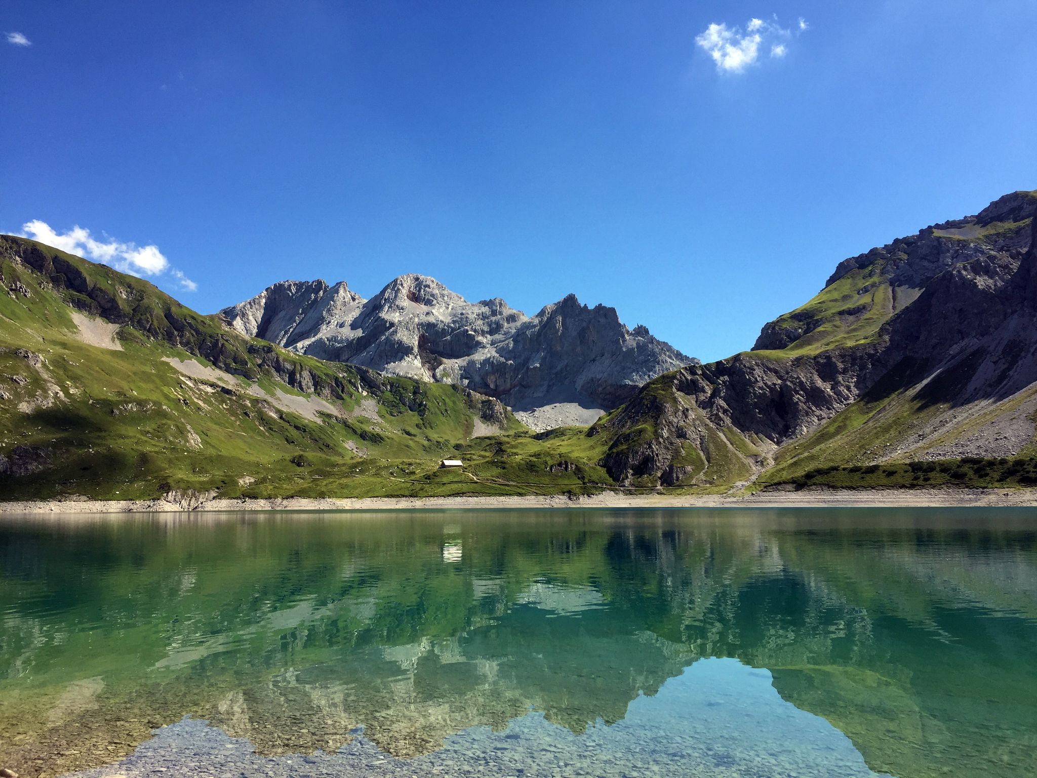
Mighty mountains and historic cities – hiking in Austria
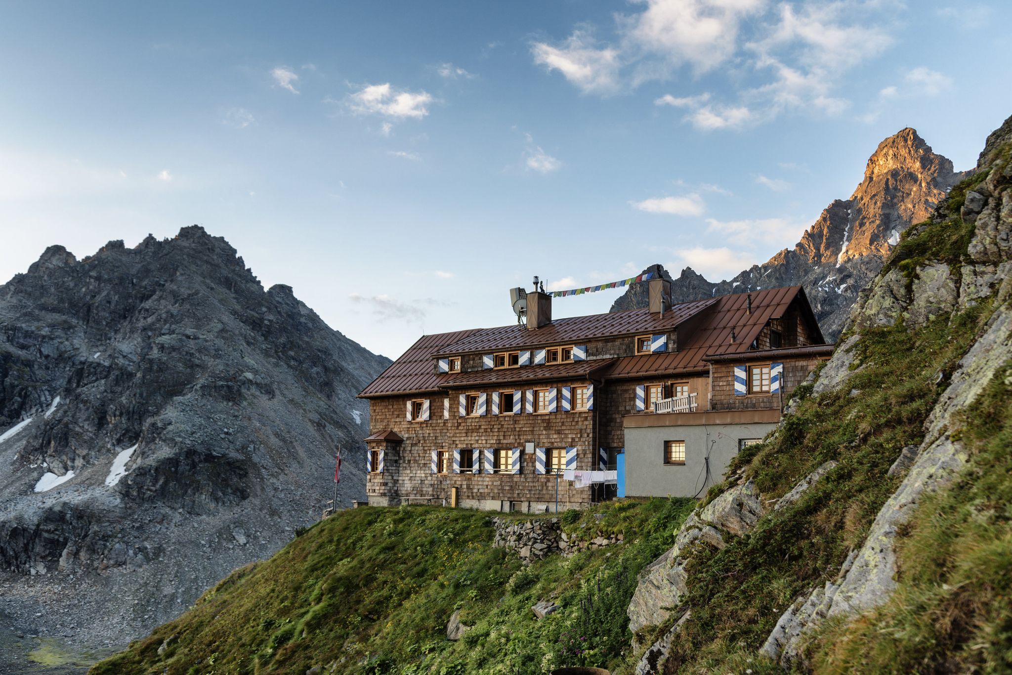
Alpenmosaik Montafon - The Montafoner Hüttenrunde
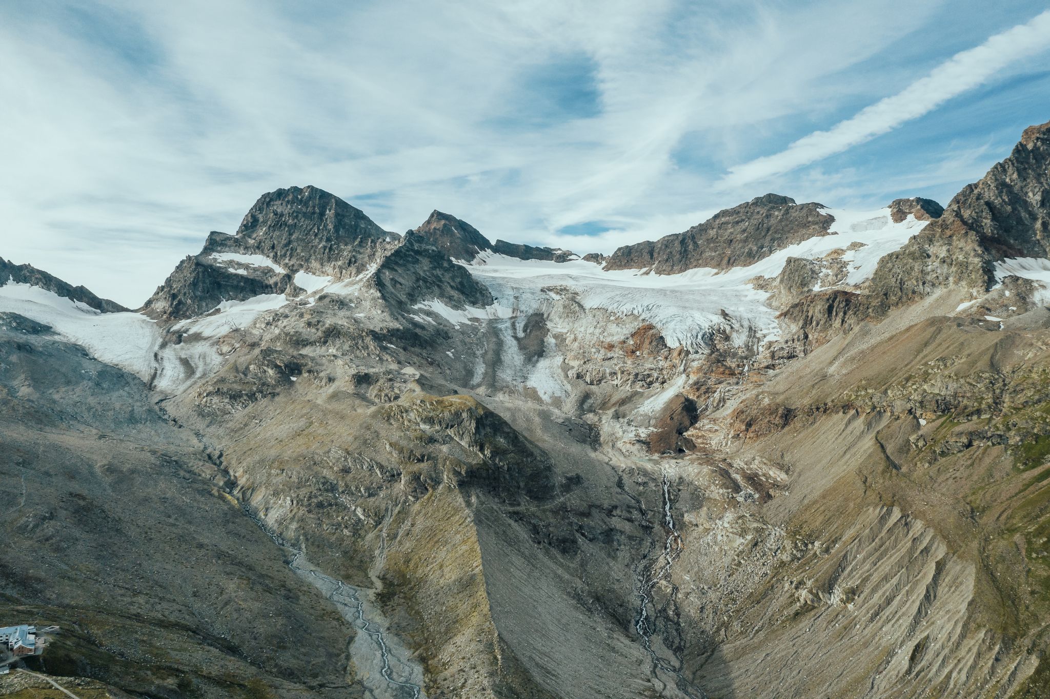
Alpine Mosaic Montafon — Austria’s Silvretta adventure area
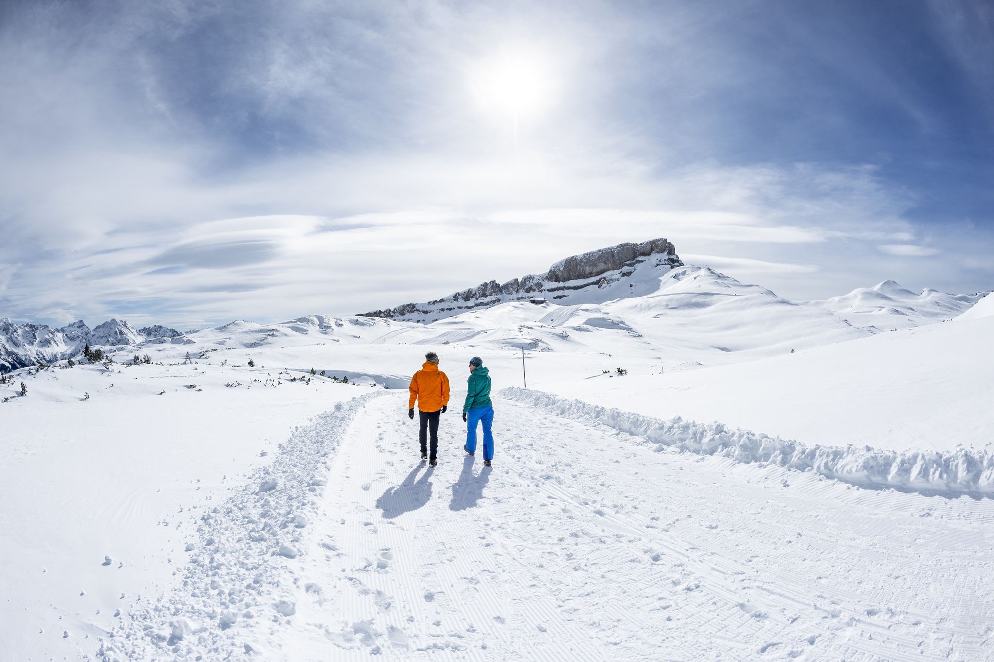
On white paths – winter hikes in Vorarlberg
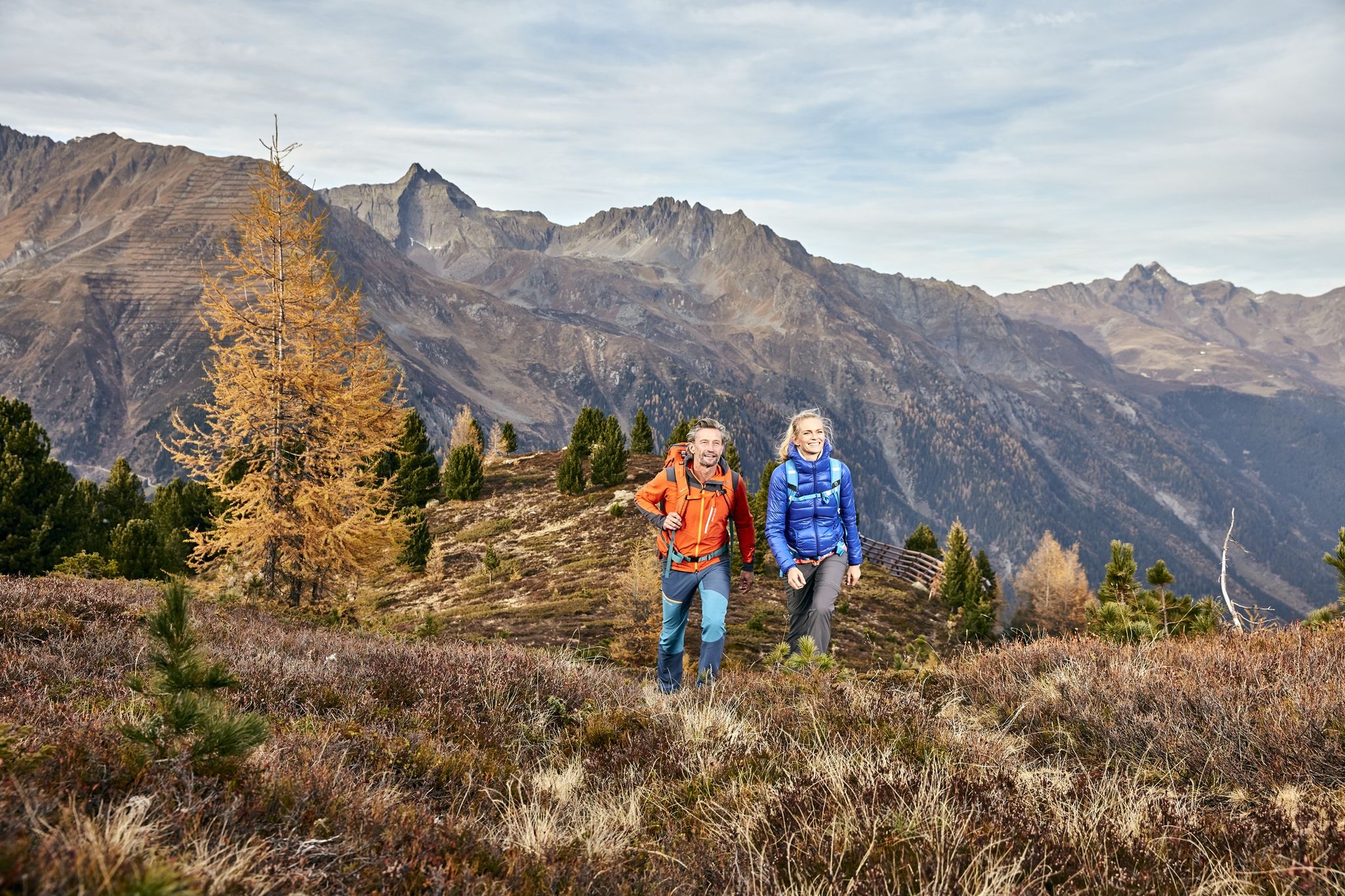
Golden Summits – Autumn in Austria’s Paznaun-Ischgl region
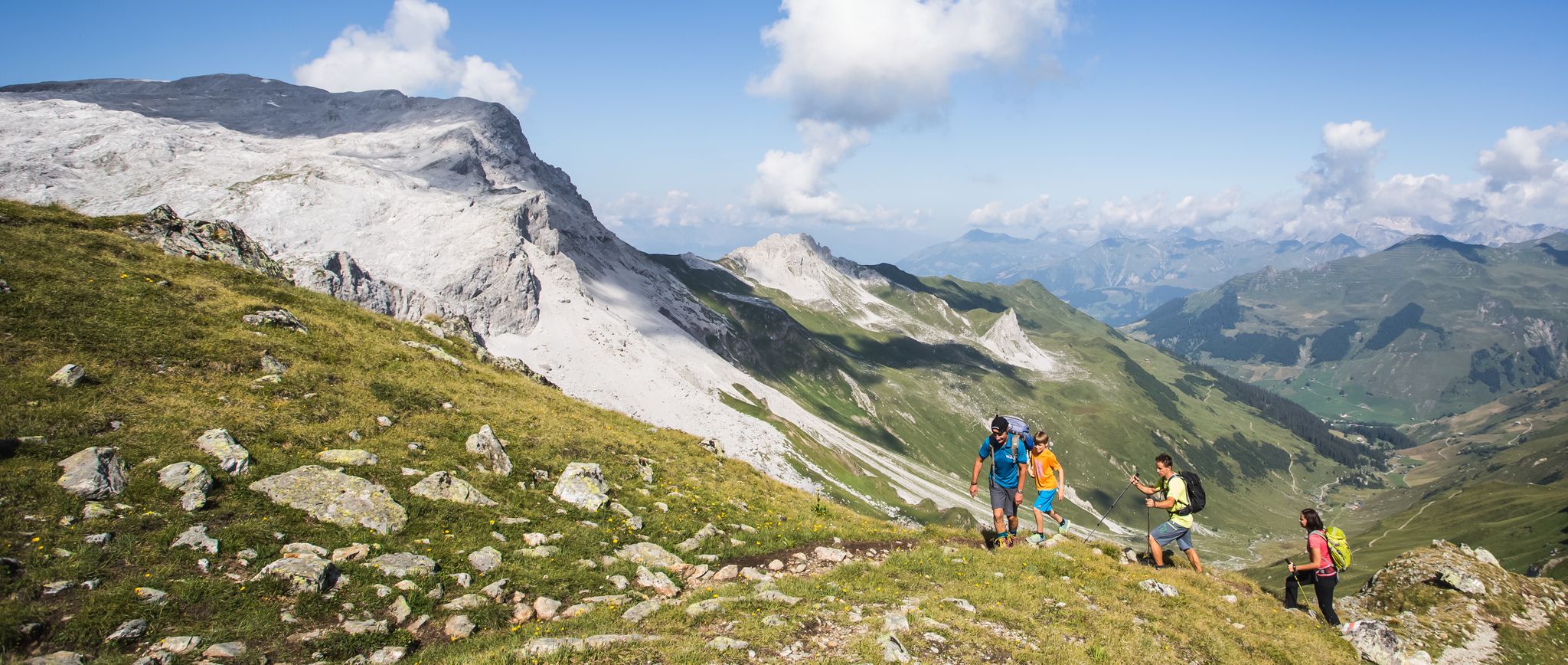
Hiking the most beautiful trails up in the Montafon mountains
Other adventures around Silvretta-Stausee


Tips from the Community

2 swimming lakes with approx. 6,300 m² of water surface, sunbathing lawn, Flop, Air Bubble, suspension bridge with ferry boat, water slides, small cable car, children's paddling pool, climbing pyramid, bouncing cushion, swings, play animals, rafting course, beach volleyball court and much more. https://www.montafon.at/de/freitzeitpark-mountain-beach_vc3145
1
0
The routes in the climbing garden have a height of about 10 to 25m and a difficulty grade of 4 to 8. There are also several practice via ferratas. Well-secured routes! Nice practice facility. Details can be found here: https://www.thecrag.com/de/klettern/austria/area/806761389
1
0
The Rifawerk hydroelectric power plant is one of the numerous power plants operated by illwerke vkw AG in the Austrian state of Vorarlberg. The Rifawerk is located between Partenen and Gaschurn, next to the Rifa balancing reservoir, and was commissioned in 1969. In turbine operation, it uses the water from Kopswerk I and Vermuntwerk for energy generation. It then makes the water available to Kopswerk II via the Rifa reservoir. https://www.illwerkevkw.at/geschaeftsfelder/wasserkraft/pumpspeicherkraftwerke/rifawerk
1
0


You get very good food there, I ate an Alpen Cordon Bleu.
0
0

The Marienkapelle at the Wiesbadener Hütte invites you to stop and pray amidst the magnificent landscape.
9
0
Frequently Asked Questions
What kind of terrain can I expect when cycling around Silvretta-Stausee?
The region offers a diverse range of terrain. You'll find challenging high-alpine landscapes with rugged mountains and significant elevation gains, especially on the iconic Silvretta High Alpine Road. However, there are also easier options, such as segregated bike paths in the lower valley sections, and routes around the reservoirs that are relatively flat.
Are there any easy touring cycling routes suitable for beginners or families?
Yes, while many routes are challenging, there are options for easier rides. The Montafon cycle path - Montafon is an excellent choice, offering a 32.8 km trail through the Montafon Valley that is suitable for various fitness levels. It provides a pleasant ride on mostly paved surfaces.
What are the most scenic viewpoints or landmarks to look out for while cycling?
The region is rich in stunning views and landmarks. The Bielerhöhe and Silvretta Reservoir offers breathtaking panoramic views, including Piz Buin. You can also visit the impressive Silvretta Reservoir Dam, or explore the Art Space 2032 — Silvretta Art Tunnel and the Earthlight art object.
Is the Silvretta High Alpine Road suitable for touring cyclists, and are there any tolls?
The Silvretta High Alpine Road is a primary draw for touring cyclists, renowned for its 34 challenging hairpin bends and significant elevation gain up to the Bielerhöhe Pass. While it is a toll road for cars and motorbikes during its summer operating season, cyclists can often bypass certain tunnels and generally do not pay a toll.
How many touring cycling routes are available in the Silvretta-Stausee area?
There are 19 touring cycling routes available around Silvretta-Stausee. These range in difficulty, with 3 easy, 8 moderate, and 8 difficult options, ensuring there's a suitable ride for most skill levels.
What do other cyclists say about touring cycling in Silvretta-Stausee?
The area is highly rated by the komoot community, with an average score of 4.8 stars from over 219 reviews. Reviewers often praise the dramatic alpine landscapes, the impressive reservoirs, and the rewarding challenge of routes like the Silvretta High Alpine Road.
Are there any circular touring cycling routes around the reservoirs?
Yes, there are circular routes that allow you to experience the beauty of the reservoirs. For example, the Bielerhöhe Pass – Vermuntsee loop from Bielerhöhe offers a challenging 26.2 km ride with high-alpine scenery around Vermuntsee.
Can I reach the Silvretta-Stausee area using public transport with my bike?
Public transport options are available to reach the region. While the prompt does not provide specific links for public transport, it is generally possible to use buses or trains that cater to cyclists in the Montafon and Paznaun valleys, which connect to the Silvretta High Alpine Road.
Are there any routes that descend from Bielerhöhe towards other valleys or reservoirs?
Yes, you can find routes that offer descents from the Bielerhöhe Pass. The Descent Towards Galtür – Kops Reservoir loop from Bielerhöhe is a challenging 29.1 km path that takes you from Bielerhöhe down towards Galtür, passing the scenic Kops Reservoir.
What is the best time of year for touring cycling around Silvretta-Stausee?
The best time for touring cycling is typically during the summer months when the Silvretta High Alpine Road is open and free of snow. This period offers the most favorable weather conditions for high-alpine cycling, allowing access to all routes and attractions.
Are there any shorter, more intense touring cycling loops in the area?
For those looking for a shorter but still challenging ride, the Bike loop from Vermunt-Stausee is a difficult 8.7 km route with significant elevation gain, perfect for a concentrated workout amidst stunning scenery.
Where can I find places to eat or stay near the cycling routes?
At the Bielerhöhe Pass, you'll find the Silvrettahaus, a hotel and refuge that offers refreshments and dining with views of the reservoir. The surrounding valleys, such as Montafon and Paznaun, also provide various accommodation options and cafes.
Most popular routes around Silvretta-Stausee
Most popular attractions around Silvretta-Stausee

Get inspired with the komoot mobile app


Explore more
Browse the best Cycling routes in other regions.
