The best walks and hikes around Albufeira de Vilarinho das Furnas
4.5
(2027)
7,509
hikers
129
hikes
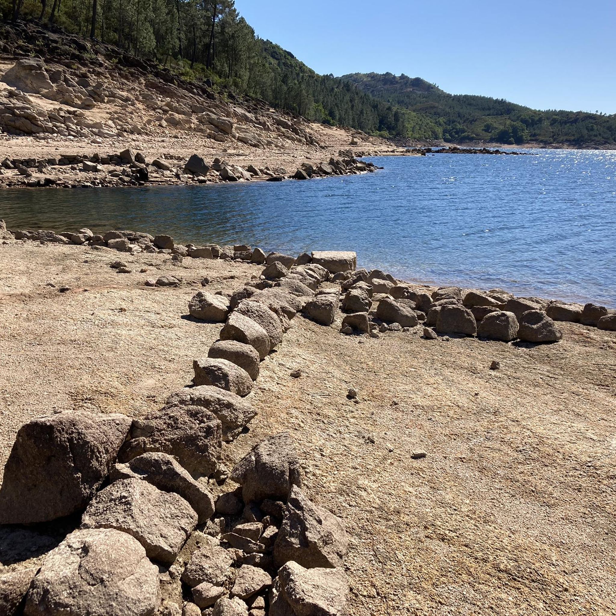
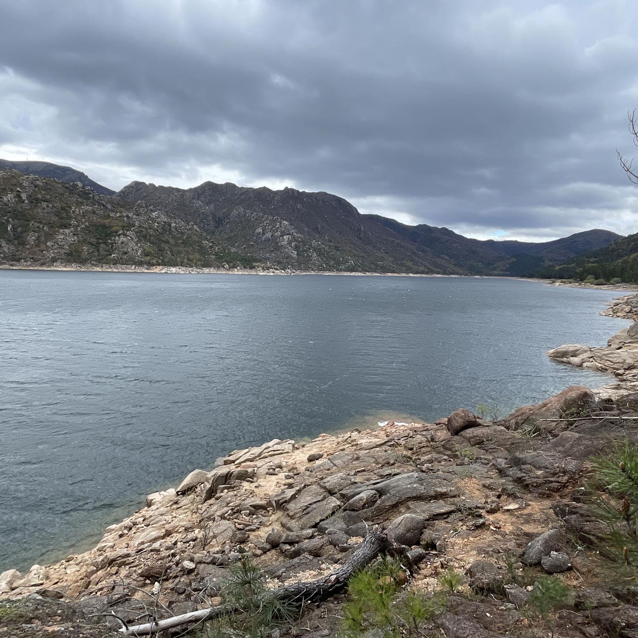
Hiking trails around Albufeira de Vilarinho das Furnas are primarily situated around the reservoir, offering routes that traverse varied terrain including forested areas, historical ruins, and views of the water. The region is characterized by its natural landscapes within the Peneda-Gerês National Park, featuring hills and river valleys. Hikers can expect paths that lead through ancient settlements and alongside natural water features. The area provides a diverse environment for outdoor activities.
Best hiking trails around Albufeira de Vilarinho das Furnas
- The most popular hiking route is Roman Soldier Silhouette loop from Campo do Gerês, a 7.6 miles (12.2 km) trail that takes 3 hours 55 minutes to complete, offering views of the landscape.
- Another top favourite among local hikers is Ruins of Vilarinho da Furna – Cascata do Ribeiro de Gemesura loop from Campo do Gerês, a difficult 10.2 miles (16.4 km) path that explores historical ruins and a waterfall.
- Local hikers also love the Roman Soldier Silhouette – Campo do Gerês village loop from Campo do Gerês, a 6.1 miles (9.9 km) trail leading through varied terrain with village views, often completed in about 2 hours 50 minutes.
- Hiking around Albufeira de Vilarinho das Furnas is defined by reservoir views, historical ruins, and forested hills. The network offers options for easy, moderate, and difficult ability levels.
- The routes in Albufeira de Vilarinho das Furnas are highly rated by the komoot community with an average score of 4.5 stars from over 2000 reviews. More than 7000 hikers have used komoot to explore Albufeira de Vilarinho das Furnas's varied terrain.
Last updated: July 8, 2026
4.7
(15)
43
hikers
12.2km
03:55
500m
500m
Moderate hike. Good fitness required. Easily-accessible paths. Suitable for all skill levels.
3.8
(4)
30
hikers
Hard hike. Very good fitness required. Easily-accessible paths. Suitable for all skill levels.

Sign up for free
4.0
(6)
23
hikers
Moderate hike. Good fitness required. Mostly accessible paths. Sure-footedness required.
2
hikers
Moderate hike. Good fitness required. Easily-accessible paths. Suitable for all skill levels.
4.7
(219)
694
hikers
Moderate hike. Good fitness required. Easily-accessible paths. Suitable for all skill levels.
Get access to more routes and recommendations from other explorers.
Sign up for free
Already have an account?
Our route recommendations are based on thousands of hikes, rides, and runs completed by other people on komoot.
Start today with a free account
Your next adventure awaits.
Login or Signup
Popular around Albufeira de Vilarinho das Furnas


Tips from the Community

A very beautiful waterfall with a loud noise from the falling water, located next to the Vilarinho das Furnas Dam, more or less halfway along the sand road that serves the site of the old village of Vilarinho.
0
0

Can sometimes be easily reached by car.
1
0
From here to Vilarinho das Furnas and back it is a comfortable 5 km, which in the summer months can sometimes be driven by car for a fee.
1
0
Right next to the parking lot. You don't even have to walk.
2
0


A hut that knows the way
1
2

Access to the area where the village is flooded is via a dirt road used privately by the former residents of Vilarinho da Furna and closed by a barrier. Access by car is sometimes possible in the summer months for a fee. The rest of the year access is only possible on foot.
2
1
The dam dams the River Homem into a reservoir. The dam and the associated reservoir are located on the edge of the Peneda-Gerês National Park. About 1 km southeast of the dam is the municipality of Campo do Gerês. The project to build the dam began in 1966. The construction was completed in 1972. In addition to generating electricity, the dam also serves as flood protection.
2
1
Frequently Asked Questions
How many hiking trails are available around Albufeira de Vilarinho das Furnas?
There are over 130 hiking routes in the Albufeira de Vilarinho das Furnas area. These trails offer a variety of experiences, from easy strolls to challenging treks, primarily situated around the reservoir and within the Peneda-Gerês National Park.
Are there easy hiking trails suitable for beginners or families?
Yes, the region offers 28 easy routes perfect for beginners or families. These trails typically feature gentler terrain and shorter distances. For a moderate option that's still manageable, consider the View of the Rio Homem Reservoir – Campo do Gerês Roman Road loop from Campo do Gerês, which is 8.7 km long and offers scenic views.
Can I find circular hiking routes in Albufeira de Vilarinho das Furnas?
Many of the trails around Albufeira de Vilarinho das Furnas are circular, allowing you to start and end at the same point. An example is the Roman Soldier Silhouette – Campo do Gerês village loop from Campo do Gerês, a 9.9 km moderate hike that takes you through varied terrain and offers village views.
Are there any waterfalls to see along the hiking trails?
Yes, the area is known for its natural beauty, including waterfalls. You can explore trails that lead to cascades such as the Cascata do Ribeiro de Gemesura. The Ruins of Vilarinho da Furna – Cascata do Ribeiro de Gemesura loop from Campo do Gerês is a challenging 16.4 km route that specifically includes this waterfall.
What historical sites or landmarks can I explore while hiking?
The region is rich in history. You can discover ancient settlements and Roman-era remnants. Notable landmarks include the Vilarinho da Furna Dam, which covers the submerged village of Vilarinho da Furna, and the Roman Milestone XXX (Via Nova). Many trails, like the Ruins of Vilarinho da Furna – Cascata do Ribeiro de Gemesura loop from Campo do Gerês, specifically highlight these historical ruins.
What is the best time of year to go hiking in Albufeira de Vilarinho das Furnas?
The spring and autumn months are generally ideal for hiking in Albufeira de Vilarinho das Furnas, offering pleasant temperatures and lush landscapes. Summer can be hot, especially at midday, while winter might bring cooler, wetter conditions, though some trails remain accessible. Always check local weather forecasts before heading out.
Is Albufeira de Vilarinho das Furnas suitable for dog-friendly hikes?
Many trails in the Peneda-Gerês National Park, where Albufeira de Vilarinho das Furnas is located, are dog-friendly. However, it's always recommended to keep dogs on a leash, especially due to wildlife and to respect other hikers and local regulations within the protected area. Ensure your dog is well-behaved and prepared for the terrain.
Are there cafes or places to eat near the hiking trails?
While the immediate trailheads might be remote, the nearby village of Campo do Gerês often serves as a base for hikers and offers amenities such as cafes and restaurants where you can refuel before or after your hike. It's always a good idea to carry sufficient water and snacks, especially on longer routes.
What do other hikers enjoy most about the trails here?
The trails around Albufeira de Vilarinho das Furnas are highly rated by the komoot community, with an average score of around 4.5 stars from over 2000 reviews. Hikers frequently praise the stunning reservoir views, the historical ruins, and the diverse forested hills. The blend of natural beauty and cultural heritage is a major draw.
Where can I park when visiting the hiking trails?
Parking is typically available near popular trailheads, especially in and around Campo do Gerês, which is a common starting point for many routes. Specific parking information can often be found on individual route descriptions or local signage. Always park responsibly and in designated areas.
What kind of wildlife and flora can I expect to see?
As part of the Peneda-Gerês National Park, the area boasts rich biodiversity. You might spot various bird species, wild horses (garranos), and even deer. The flora includes diverse forest types, Mediterranean vegetation, and unique plant species adapted to the mountainous and riverside environments. Respecting the natural habitat is crucial.
Are there any challenging or difficult hikes for experienced trekkers?
Yes, for experienced hikers, there are 30 difficult routes available. These trails often feature significant elevation gains, rugged terrain, and longer distances. An example is the Ruins of Vilarinho da Furna – Cascata do Ribeiro de Gemesura loop from Campo do Gerês, a 16.4 km route with substantial elevation changes.
Most popular routes around Albufeira de Vilarinho das Furnas
Most popular attractions around Albufeira de Vilarinho das Furnas

Get inspired with the komoot mobile app


Explore more
Browse the best Hikes in other regions.
