The best road cycling routes around Gatineau
4.8
(117)
5,801
riders
17
rides
Road cycling around Gatineau features diverse landscapes, including the extensive trail networks of Gatineau Park and the Ottawa River shoreline. The region is characterized by the rolling terrain of the Canadian Shield, offering a mix of flat sections and challenging hills. Cyclists can navigate scenic parkways and multi-use pathways that traverse wooded areas and open landscapes. This varied topography provides numerous options for road cyclists of different skill levels.
Best road cycling routes around Gatineau
- The most popular road cycling route is Wakefield Covered Bridge – Wakefield Covered Bridge loop from De Cannes/De Salernes, a 37.8 miles (60.8 km) trail that takes 2 hours 42 minutes to complete. This moderate route features significant elevation gain and passes by the historic covered bridge.
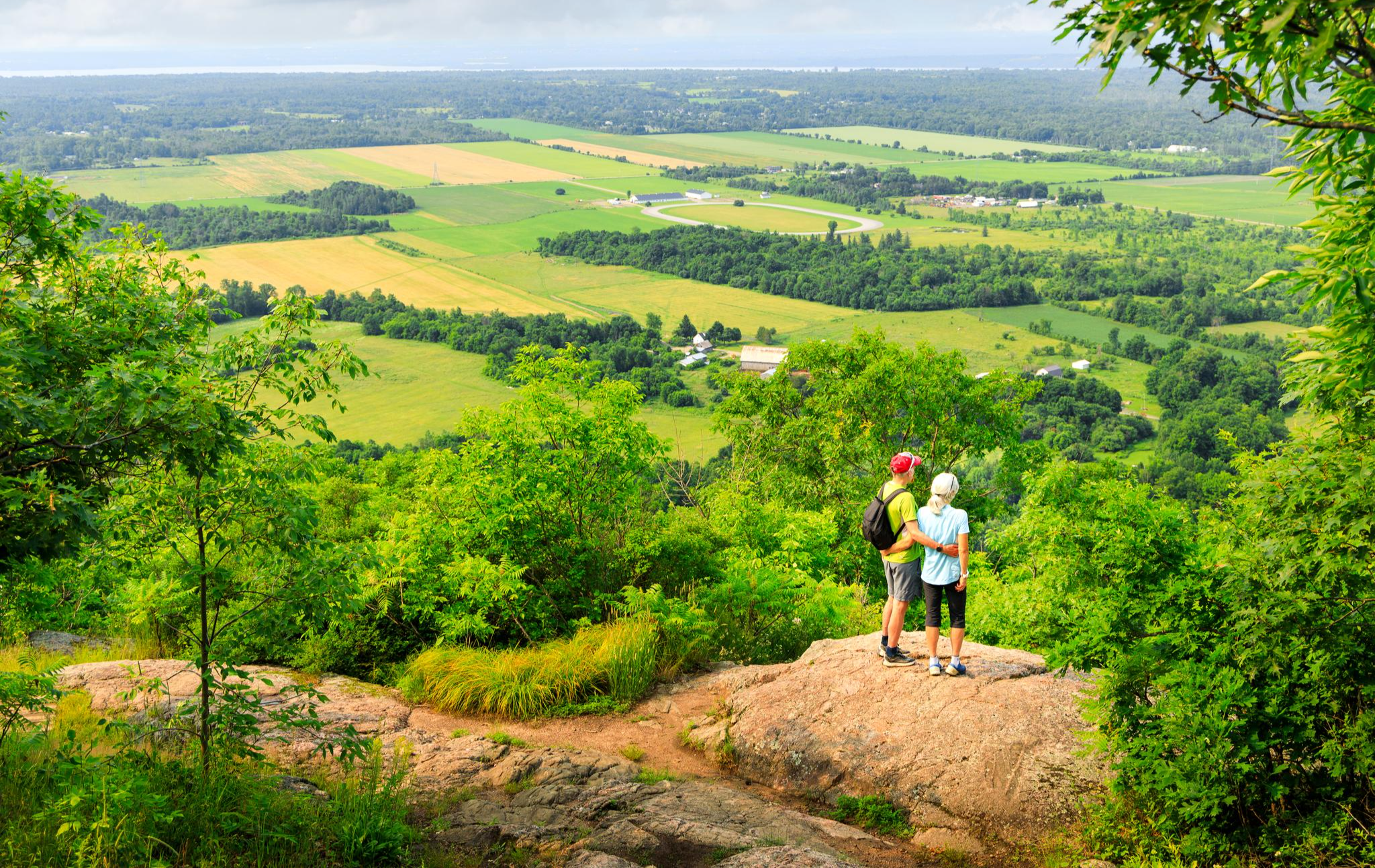
- Another top favourite among local road cyclists is P3 Welcome Centre Kiosk – Pink Lake Lookout loop from Le Plateau, an easy 11.9 miles (19.1 km) path. This route includes a climb to Pink Lake Lookout, offering views over the unique meromictic lake.
- Local road cyclists also love the Wakefield Covered Bridge – Wakefield Covered Bridge loop from Cégep de l'Outaouais Campus Gabrielle-Roy, a 49.5 miles (79.7 km) trail leading through the hilly terrain of the Gatineau region, often completed in about 3 hours 43 minutes.
- Road cycling around Gatineau is defined by the scenic parkways of Gatineau Park, the Ottawa River pathways, and the challenging hills of the Canadian Shield. The network offers options for both easy rides and more demanding routes with substantial elevation changes.
- The routes in Gatineau are highly rated by the komoot community with an average score of 4.9 stars from over 10 reviews. More than 600 road cyclists have used komoot to explore Gatineau's varied terrain.
Last updated: August 25, 2026
4.7
(3)
180
riders
Moderate road ride. Good fitness required. Some segments of this route may be unpaved and difficult to ride.
4.8
(9)
129
riders
19.3km
00:52
180m
180m
Easy road ride. Great for any fitness level. Mostly well-paved surfaces and easy to ride.

Sign up for free
5.0
(1)
117
riders
Moderate road ride. Good fitness required. Mostly well-paved surfaces and easy to ride.
4.8
(5)
47
riders
40.9km
01:44
180m
180m
Easy road ride. Great for any fitness level. Mostly well-paved surfaces and easy to ride.
4.0
(1)
41
riders
Moderate road ride. Good fitness required. Some segments of this route may be unpaved and difficult to ride.
Get access to more routes and recommendations from other explorers.
Sign up for free
Already have an account?
Our route recommendations are based on thousands of hikes, rides, and runs completed by other people on komoot.
Start today with a free account
Your next adventure awaits.
Login or Signup




Tips from the Community

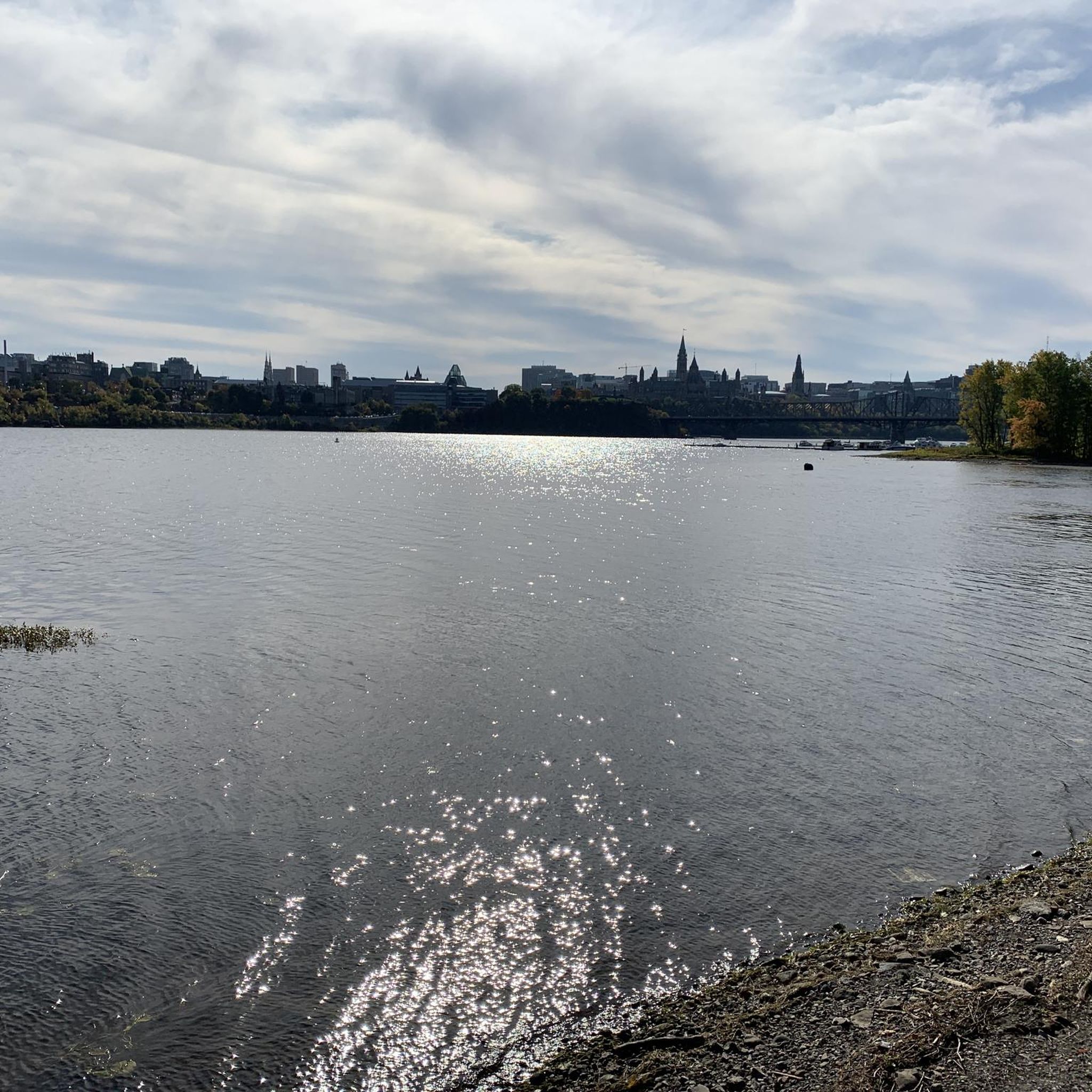
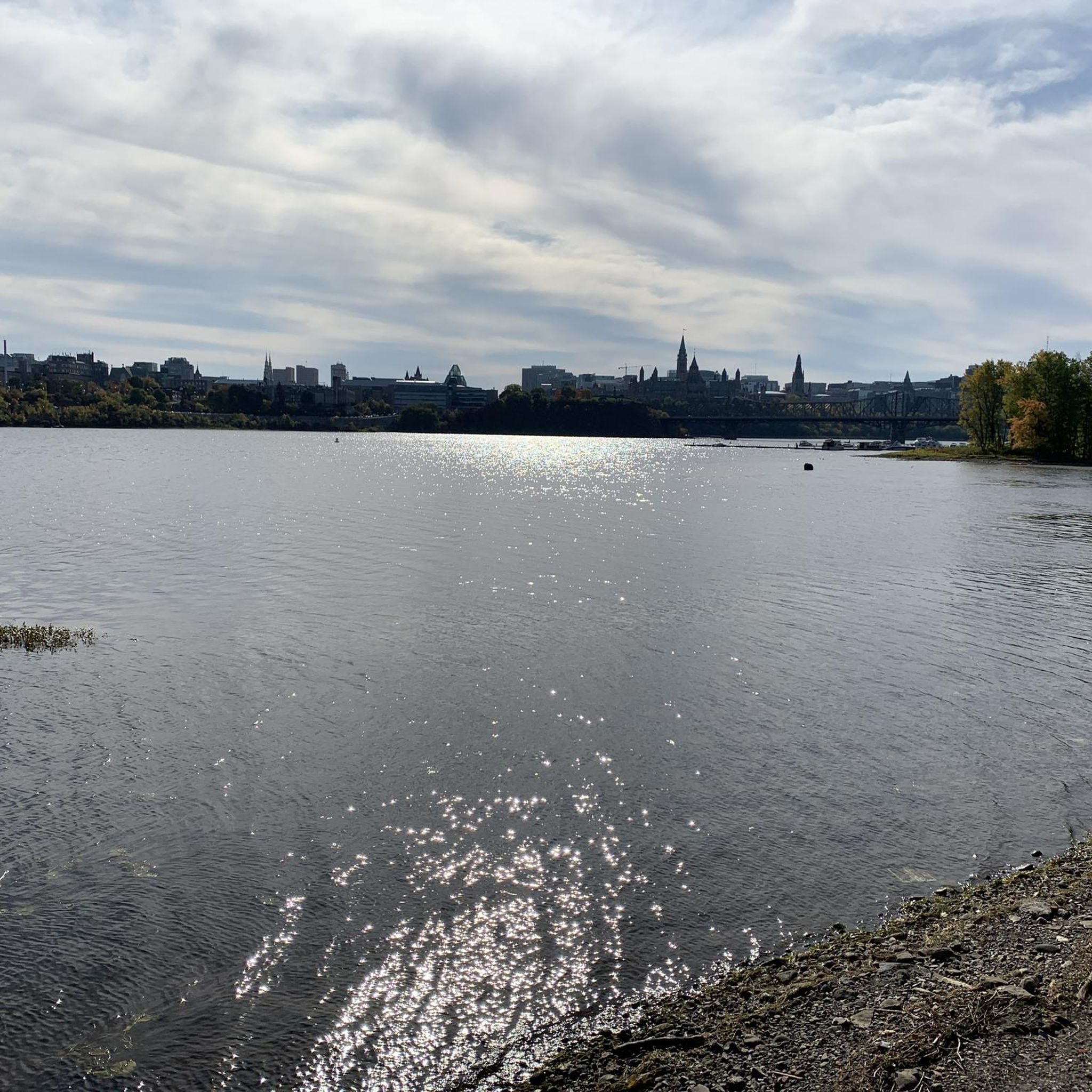
Following the south shore of the Ottawa River, the Ottawa River Pathway is one of the National Capital Commission's signature multi-use trails. Stretching for more than 30 kilometres, it links beaches, parks, lookouts, and historic sites while offering continuous views across the river toward Gatineau. Whether you're walking or cycling, it's an easy way to experience one of Canada's most iconic waterways without leaving the city.
0
0

Chelsea & Co Microbrasserie is a cozy craft brewery right in the heart of Chelsea. It’s a popular spot for both locals and visitors, especially those heading to nearby Gatineau Park for hiking or biking. They brew a variety of hyper-local beers in a relaxed atmosphere, with a tasting room and a lovely outdoor patio, making it a great place to relax after a day of exploring the beautiful trails in the area.
0
0
Voie Verte Chelsea is a relatively flat gravel multi-use trail that follows a former railway corridor along the Gatineau River. Stretching roughly 22 kilometres, it’s a picturesque and popular route for walking, cycling and running, with beautiful views of the river, and is a great way to connect to neighbourhoods and community destinations across the municipality.
0
0
Spanning the Ottawa River between Ottawa and Gatineau, the Champlain Bridge provides wide views across one of Canada's most important waterways. From here you can watch boats navigating the river, spot waterbirds along the shoreline, and take in views of wooded islands and the surrounding riverbanks. Opened in 1928 and rebuilt in the early 1970s, the bridge remains a key link between Ontario and Quebec while offering a unique perspective over the Ottawa River's broad channel.
0
0

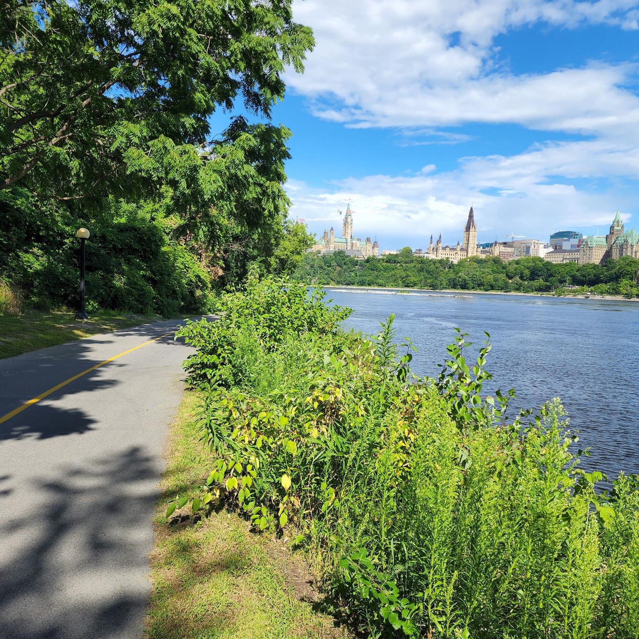
Managed by the National Capital Commission the Voyageurs Trail follows a path that has been travelled by First Nations people since time immemorial. Today it serves as a scenic route along the Ottawa River with great views of Parliament Hill passing through parks and under bridges along its 30-kilometre course.
0
0
A short spur leads onto this restored former railway bridge, now open to walkers and cyclists. Built in 1880, the steel truss structure crosses the Ottawa River via Lemieux Island and provides wide views towards Ottawa, Gatineau, and the surrounding waterways.
0
0
This mostly level, paved multi-use pathway follows the Ottawa River towards the city centre, with frequent water views and glimpses across to Gatineau. It is shared by walkers, runners, and cyclists, while the riverside section is groomed for winter hiking, skiing, snowshoeing, and fat biking as part of the Kìchì Sìbì Winter Trail.
0
0

The Pioneers' Trail starts from the road, making it easily accessible by car. Parking lot P3 even allows you to park right next to it. A cycle path also leads here for those wishing to cycle.
0
0
Frequently Asked Questions
How many road cycling routes are available in Gatineau?
Gatineau offers a wide selection of road cycling routes, with over 20 routes available on komoot. These routes cater to various skill levels, from easy rides to more challenging ascents.
What kind of terrain can I expect on road cycling routes in Gatineau?
Road cycling in Gatineau features diverse terrain, primarily influenced by the Gatineau Hills and the Ottawa River. You'll find scenic, winding parkways with smooth surfaces, often featuring hilly sections that provide a challenging workout. The region includes both flat sections along river shorelines and significant elevation changes within Gatineau Park, part of the Canadian Shield.
Are there easy road cycling routes suitable for beginners in Gatineau?
Yes, Gatineau offers several easy road cycling routes. For example, the P3 Welcome Centre Kiosk – Pink Lake Lookout loop from Le Plateau is an easy 19.1 km path that includes a climb to Pink Lake Lookout. Many routes along the Ottawa River, like the Voyageurs–Portageurs route, are also mainly flat and suitable for less experienced cyclists.
Where can I find challenging road cycling routes in Gatineau?
For a challenging ride, explore the hilly terrain within Gatineau Park. Routes like the Wakefield Covered Bridge – Wakefield Covered Bridge loop from Cégep de l'Outaouais Campus Gabrielle-Roy, spanning nearly 80 km with significant elevation, are popular among advanced cyclists. The parkways themselves are known for their demanding climbs and descents.
What scenic viewpoints can I visit while road cycling in Gatineau?
Gatineau offers breathtaking scenic viewpoints. While cycling, you can reach lookouts such as Pink Lake Lookout, Champlain Lookout, Huron Lookout, and Étienne Brûlé Lookout. These spots provide panoramic views of the Ottawa Valley, the Ottawa River, and the surrounding landscapes, making them popular stops for cyclists.
Are there any unique natural features to see along the routes?
Absolutely. Gatineau is rich in natural beauty. You can cycle past unique meromictic lakes like Pink Lake, known for its green color. The region also features rocky granite outcrops, mixed forests, and the Eardley Escarpment. The Ottawa River pathways offer views of marshes and, when water levels are low, stromatolites.
Can I find circular road cycling routes in Gatineau?
Yes, many road cycling routes in Gatineau are designed as loops, allowing you to start and end at the same point. Examples include the popular Wakefield Covered Bridge – Wakefield Covered Bridge loop from De Cannes/De Salernes and the Gatineau Loop within Gatineau Park, which showcases Canadian Shield scenery.
What is the best time of year for road cycling in Gatineau?
The best time for road cycling in Gatineau is typically from spring to fall. Autumn is particularly popular for viewing the vibrant fall foliage in the Gatineau Hills. During certain periods, vehicle access to large portions of Gatineau Park parkways is restricted, creating car-free cycling opportunities, which is ideal for cyclists.
Are there family-friendly road cycling options in Gatineau?
While many routes in Gatineau Park involve hills, the Capital Pathway network offers multi-use sections that are generally flatter and more suitable for families. The Voyageurs–Portageurs route along the Ottawa River is also mainly flat and passes by picnic areas and beaches, making it a good option for a family outing.
What are the parking options for road cyclists in Gatineau?
Parking is generally available at various access points to the cycling networks, especially around Gatineau Park and along the Capital Pathway. Specific parking lots are often designated for park visitors and cyclists. It's advisable to check the National Capital Commission (NCC) website for detailed parking information for specific areas.
How can I access road cycling routes in Gatineau using public transport?
Public transport access to road cycling routes in Gatineau varies. Some routes, particularly those closer to urban centers or within the Capital Pathway network, may be accessible via local bus services. For detailed information on public transport options to specific trailheads, consulting the local transit authority's website is recommended.
Are there places to stop for refreshments or amenities along the routes?
Yes, depending on the route, you can find amenities. Routes passing through or near towns like Wakefield will have cafes and pubs. Within Gatineau Park, there are often visitor centers or rest stops. Along the Ottawa River pathways, you might find picnic areas and facilities. Planning your route with komoot can help identify these points of interest.
What do other cyclists say about road cycling in Gatineau?
The road cycling experience in Gatineau is highly rated by the komoot community, with an average score of 4.9 stars from over 10 reviews. Cyclists often praise the well-maintained parkways, the challenging yet rewarding hilly terrain, and the stunning natural beauty, especially the panoramic views from the various lookouts.
Are there any specific regulations or permits needed for cycling in Gatineau Park?
While general cycling on the parkways does not typically require a specific permit, it's always a good idea to be aware of park regulations. During certain periods, vehicle access to large portions of the parkways is restricted, creating car-free cycling opportunities. For the most current information on park rules and any potential seasonal restrictions, consult the official Gatineau Park website.
Most popular routes around Gatineau
Most popular attractions around Gatineau

Get inspired with the komoot mobile app


Explore more
Browse the best Road cycling routes in other regions.
