Attractions and Places To See around Area H (The Slocan Valley) - Top 5
Attractions and places to see around Area H (The Slocan Valley) are centered around its natural landscapes and historical sites. This region in British Columbia's Regional District of Central Kootenay is characterized by the Slocan Lake and River, nestled between the Valhalla and Slocan mountain ranges. The valley offers a mix of outdoor recreation, cultural experiences, and historical exploration. Visitors can explore wilderness areas, historical towns, and unique natural features.
Best attractions and places to see around Area H (The Slocan Valley)
- The most popular attractions is McDonald Creek Campground, a facilities highlight located on the eastern side of Upper Arrow Lake. It features a sandy beach and offers refreshing water for swimming.
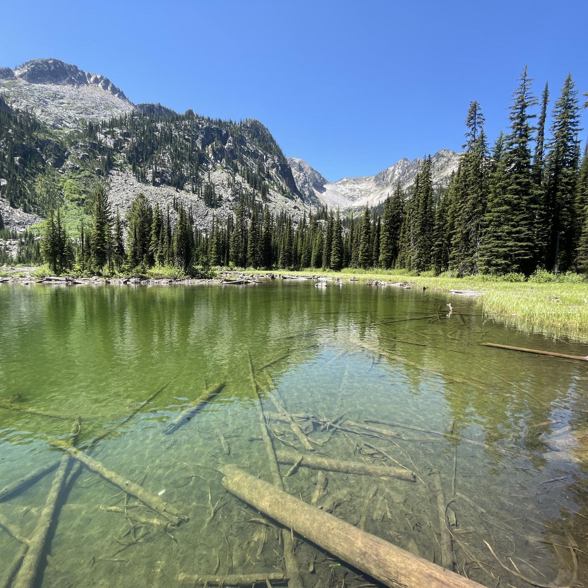
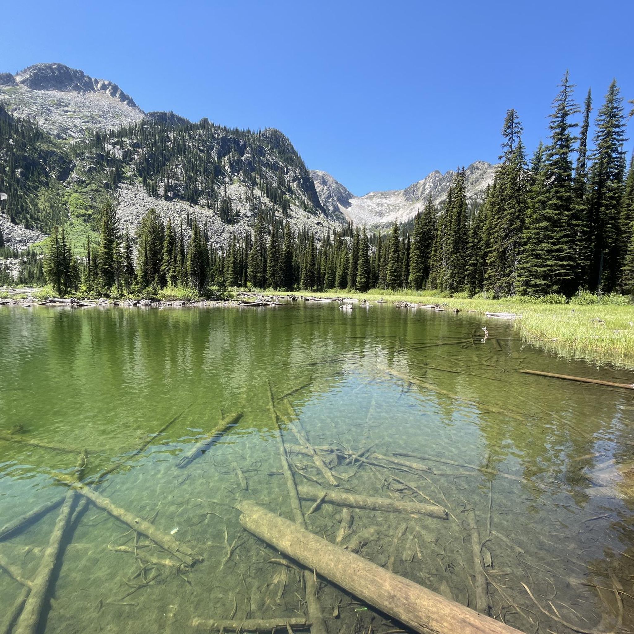
- Another must-see spot is Valhalla Provincial Park, a natural area known for its dramatic wilderness. This park offers glacier-fed lakes, steep peaks, and alpine meadows, providing opportunities for hiking and backcountry adventures.
- Visitors also love Galena Trail Cable Car, a unique river crossing. This cable car requires users to pull ropes to cross the creek, accommodating one person and a bike at a time with a maximum load of 160 kilograms.
- Area H (The Slocan Valley) is known for its provincial parks, historical sites, and extensive trail networks. The region offers a variety of attractions to see and explore, from wilderness areas to cultural landmarks and cycling routes.
- The attractions around Area H (The Slocan Valley) are appreciated by the komoot community, with 3 upvotes and 6 photos shared by visitors.
Last updated: October 11, 2026
McDonald Creek Campground
Highlight • Rest Area
Provincial Park is located on the eastern side of Upper Arrow Lake and can only be reached by ferry. This is free both in the southern part, in Needles, and in the north on the Shelter Bay (as of 2018). The ferry rides only last a few minutes each.
Translated by Google •
Tip by

Columbia and Western Rail Trail
Highlight (Segment) • Trail
Translated by Google •
Tip by

Sign up now to discover places like this
Get recommendations on the best single tracks, peaks, & plenty of other exciting outdoor places.
Kootenay River and Kootenay Lake Route
Highlight (Segment) • Trail
Translated by Google •
Tip by
Waldie Island Trail
Highlight (Segment) • Trail
Tip by

Galena Trail Cable Car
Highlight • Bridge
Tip by

Sign up for free to discover even more attractions around Area H (The Slocan Valley).
Already have an account?
Start today with a free account
Your next adventure awaits.
Popular around Area H (The Slocan Valley)

Tips from the Community

The Waldie Island Trail is a scenic 1.5-kilometer path along the Columbia River in Castlegar, blending local history with a vital riparian ecosystem. As a non-motorized, multi-use route, it’s a favorite for hikers, dog walkers, and cyclists, though pups must remain on a leash to protect the sensitive environment. The trail’s standout feature is its proximity to the Waldie Island Heron Reserve, a crucial sanctuary for Great Blue Heron. By sticking to the marked paths and keeping noise down, visitors can enjoy a rare, up-close look at these majestic birds in their natural habitat.
0
0

Galena Trail Cable Car is a unique river crossing. The cable car requires users to pull ropes to cross the creek, and bringing gloves for the cables is highly recommended. Users must cross one at a time and may bring their bike, with the car having a maximum load of 160 kilograms. There are clear directions and loading and unloading platforms at the cable car station.
0
0

Very beautiful sandy beach and wonderfully refreshing water!
1
0

The trail runs mostly parallel to the shore to the nice town of Nelson, which invites you to a delicious lunch. From here to the lake you have to cycle on the country road. On the banks of the lake-like river you can always find stretches of beach that invite you to take a break with a refreshing swim. Some beaches have showers and drinking water. Kootenay Lake can be reached at Balfour, where a free ferry crosses the lake. There is a snack right at the ferry terminal that also offers delicious ice cream. If you arrive in Balfour in the afternoon or even in the evening, you should spend the night at Cedar`s Lake Campground a few hundred meters in front of the ferry. On the other side of the lake, there are few places to stay, the next campsite is only at Gray Creek.
0
0
The KVR ends in Midway and the Columbia and Western Rail Trail begins, which ends after a good 160 km in Castlegar. This railway line also leads through wonderful and lonely nature. In contrast to the KVR, the cyclist sometimes comes through small, former pioneer towns. This makes the supply of food and water easier. Campsites offer showers and washing machines. The trail conditions are comparable to the KVR, i.e. natural slopes with changing conditions and no gradients with more than 2.5%. After extreme rains, it can happen that the trail is washed away completely. Then it's time to pack up and carry your bike and panniers to the other "bank". This trail can also be used with motorcycles, so that you can maybe meet motocross riders. If you run out of electricity for your smartphone & Co. (including Komoot), you should pay attention to the electricity pylons. Both in the towns and across the country, there are often sockets on the masts. Most are live (110 V). Hardware stores and supermarkets often have sockets within easy reach of the facades. On the occasion: Instead of overpriced outdoor shops, you can buy camping equipment (e.g. gas cartridges) much cheaper at "Canadian Tire". They not only carry tires, but also everything for outdoor life and in almost every medium-sized city there is a branch.
0
0

At the eastern end of British Columbia, on Highway 6, lies the beautiful McDonald Creek Provincial Park, just off Upper Arrow Lake. The next small town is called Nakusp and lies ten kilometers further north. Provincial Park is located on the eastern side of Upper Arrow Lake and can only be reached by ferry. This is free both in the southern part, in Needles, and in the north on the Shelter Bay (as of 2018). The ferry rides only last a few minutes each.
2
0
Frequently Asked Questions
What natural features can I explore in Area H (The Slocan Valley)?
The Slocan Valley is rich in natural beauty. You can visit Valhalla Provincial Park, known for its majestic peaks, glacier-fed lakes, and extensive backcountry. The Slocan Lake and River are central to the valley, offering opportunities for boating, swimming, and fishing. Other notable features include Kokanee Glacier Provincial Park, Cody Caves, and numerous waterfalls like Springer Creek.
Are there historical sites to visit in the Slocan Valley?
Yes, the Slocan Valley has a rich history. Explore the poignant Nikkei Internment Memorial Centre in New Denver, a National Historic Site. Sandon Ghost Town offers a fascinating glimpse into a former mining city, with its museum and the still-operating Silversmith Powerhouse. You can also visit the Silvery Slocan Museum & Archives in New Denver and the Outdoor Mining Museum in Silverton.
What outdoor activities are available near these attractions?
The Slocan Valley offers a variety of outdoor activities. You can cycle or hike along the popular Slocan Valley Rail Trail. For more challenging adventures, Valhalla Provincial Park provides extensive hiking and backcountry opportunities. Rock climbing is popular at Slocan Bluffs, and the region's lakes and rivers are ideal for swimming, kayaking, and fishing. You can also find cycling routes like the Columbia and Western Rail Trail and the Kootenay River and Kootenay Lake Route.
Are there family-friendly attractions in Area H (The Slocan Valley)?
Absolutely. McDonald Creek Campground is a great family-friendly spot with a sandy beach and refreshing water for swimming. The Slocan Valley Rail Trail is suitable for family bike rides or walks. Winlaw Regional and Nature Park also features a grass and sand beach with shallow waters, perfect for families. The Cody Caves offer guided tours that can be an exciting experience for older children.
Where can I go cycling in the Slocan Valley?
The Slocan Valley is excellent for cycling. The Slocan Valley Rail Trail is a popular choice, following an old railway bed. For longer rides, consider routes like the Columbia and Western Rail Trail or the Kootenay River and Kootenay Lake Route. You can find various cycling routes, including those around Area H (The Slocan Valley), by visiting the komoot guide for Cycling around Area H (The Slocan Valley).
What unique experiences can I have in the Slocan Valley?
For a unique experience, try crossing the creek using the Galena Trail Cable Car, where you pull ropes to get across. Explore the underground passages of Cody Caves with a guided tour. You can also step back in time at Sandon Ghost Town, a restored historic mining site, or visit the Nikkei Internment Memorial Centre for a profound historical reflection.
What is the best time to visit Area H (The Slocan Valley)?
The Slocan Valley is beautiful year-round, but the best time depends on your interests. Summer (June to September) is ideal for outdoor activities like hiking, cycling, swimming, and enjoying the Saturday Farmer's and Artisan Market in Slocan. Spring and fall offer milder temperatures and vibrant scenery, perfect for exploring trails and historical sites. Winter provides opportunities for snow-related activities.
Are there any notable viewpoints or scenic spots?
Yes, the Slocan Valley offers stunning viewpoints. Valhalla Provincial Park provides dramatic vistas of glacier-fed lakes and steep peaks. The Gimli Ridge Hike, accessible from Slocan, offers sweeping views of the valley and Mount Gimli. The villages of New Denver, Silverton, and Slocan themselves are nestled in picturesque locations along Slocan Lake, offering charming views.
Where can I find accommodation or amenities in the Slocan Valley?
The villages of New Denver, Silverton, and Slocan offer various amenities including cafes, pubs, and accommodation options. For a unique stay, consider the Halcyon Hot Springs Resort, about a 90-minute drive from Revelstoke, offering natural hot springs. Campgrounds like McDonald Creek Campground and Springer Creek RV Park & Campground in Slocan also provide facilities.
What cultural experiences can I find in the Slocan Valley?
The Slocan Valley has a vibrant arts and culture scene. You can explore numerous artisan studios and galleries, such as the Hidden Garden Gallery in New Denver and Silverton Gallery. The Saturday Farmer's and Artisan Market in Slocan showcases local crafts and produce. The Japanese Canadian Legacy Trail also offers a reflective journey through the history of internment camps in the valley.
Are there any accessible trails in the Slocan Valley?
While specific wheelchair-accessible trails are not extensively detailed, the Slocan Valley Rail Trail, being a former railway bed, generally offers a relatively flat and wide path, making parts of it more accessible than rugged hiking trails. The Retallack Old Growth Cedar Trail also provides accessible opportunities to experience giant cedars.
What are some lesser-known gems in the Slocan Valley?
Beyond the main attractions, consider exploring the various waterfalls scattered throughout the valley, such as Ione, Sutherland, and Wilson Creek. The Slocan Bluffs are a popular spot for rock climbing enthusiasts. The village of Winlaw, described as one of the 'funkiest hubs,' offers a unique community vibe and recreational activities.
Most popular routes around Area H (The Slocan Valley)

Get inspired with the komoot mobile app


Explore more
Still not found the Highlight you’re looking for? See guides of the top attractions in other regions:
