The best running trails around Vråvatn
4.7
(6)
111
runners
8
runs
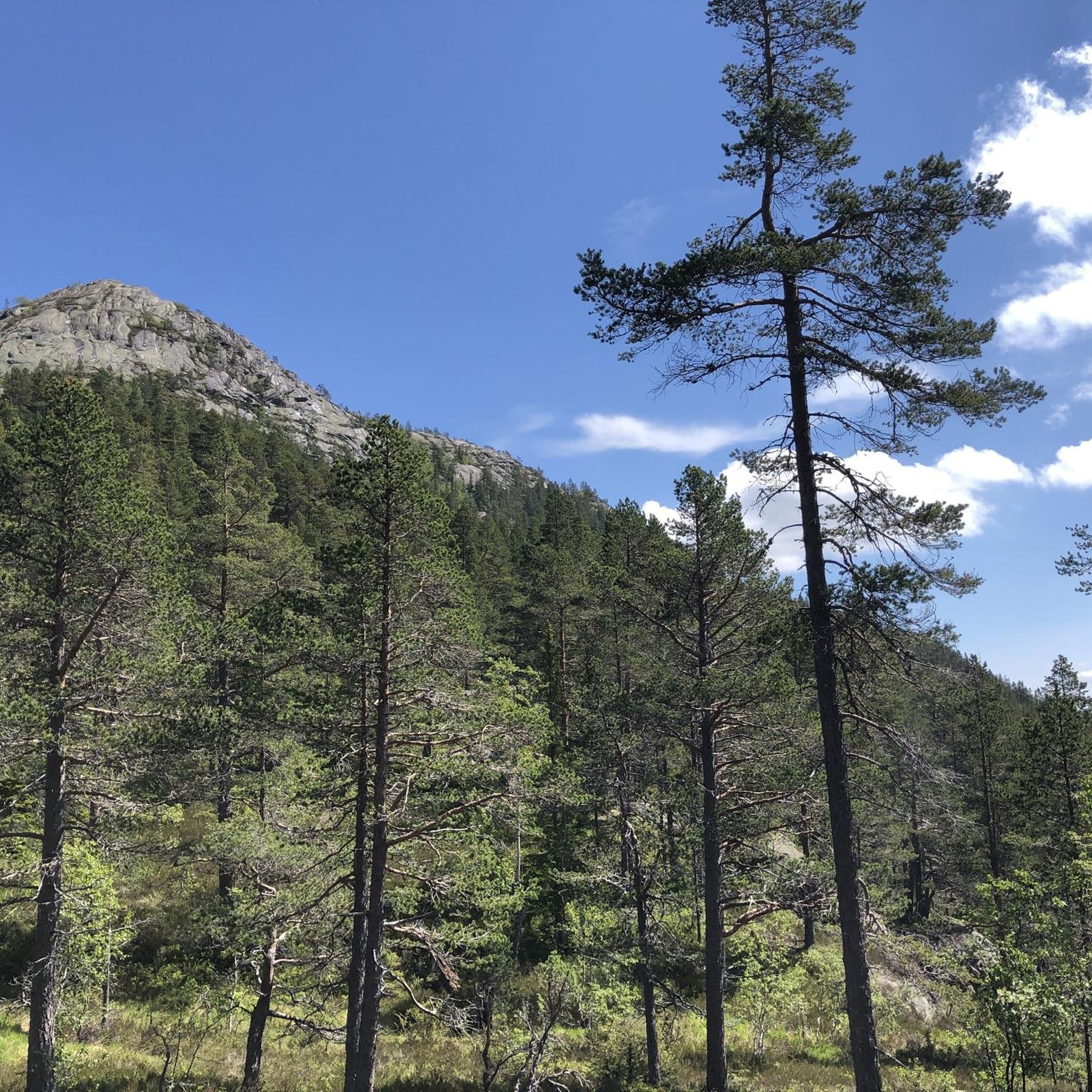
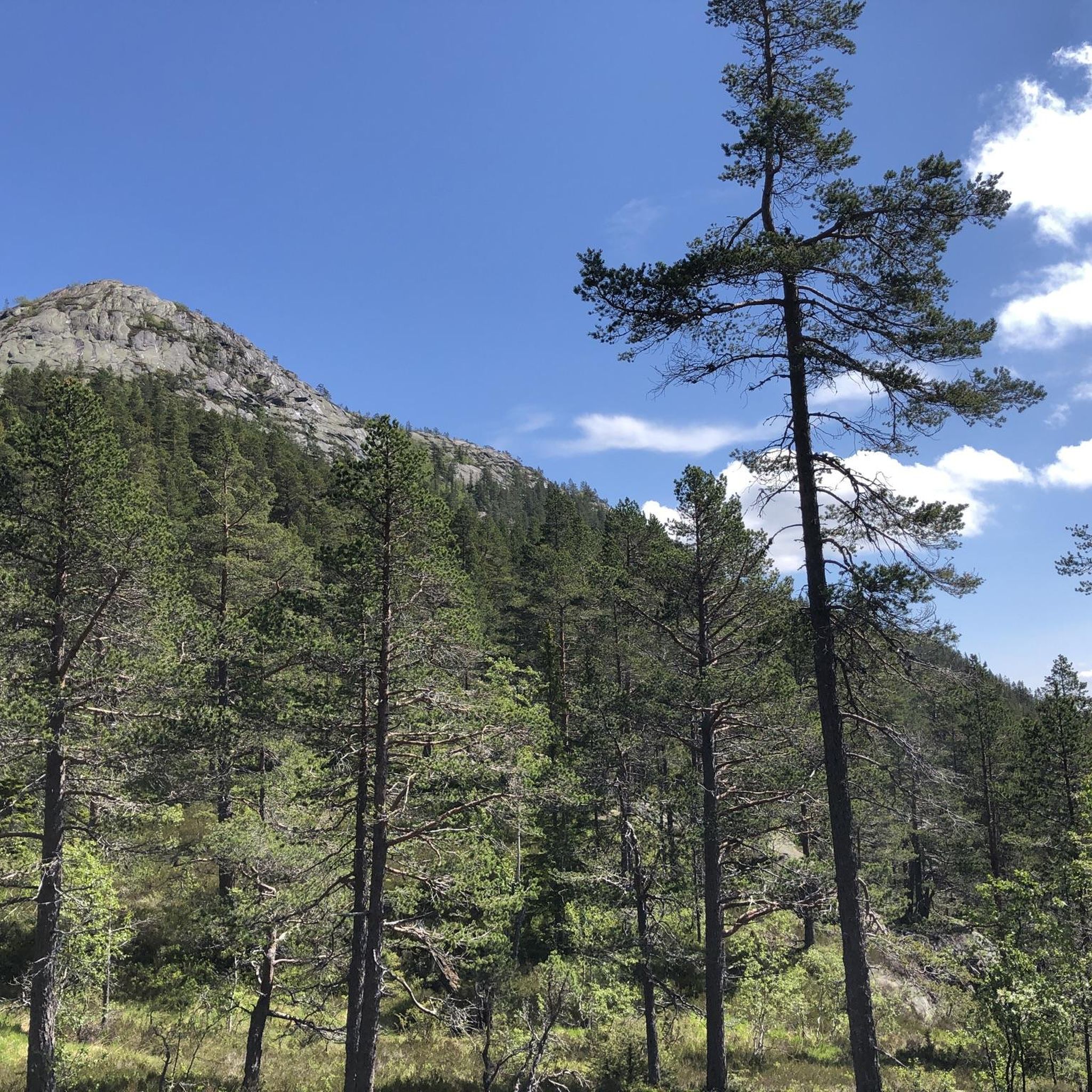
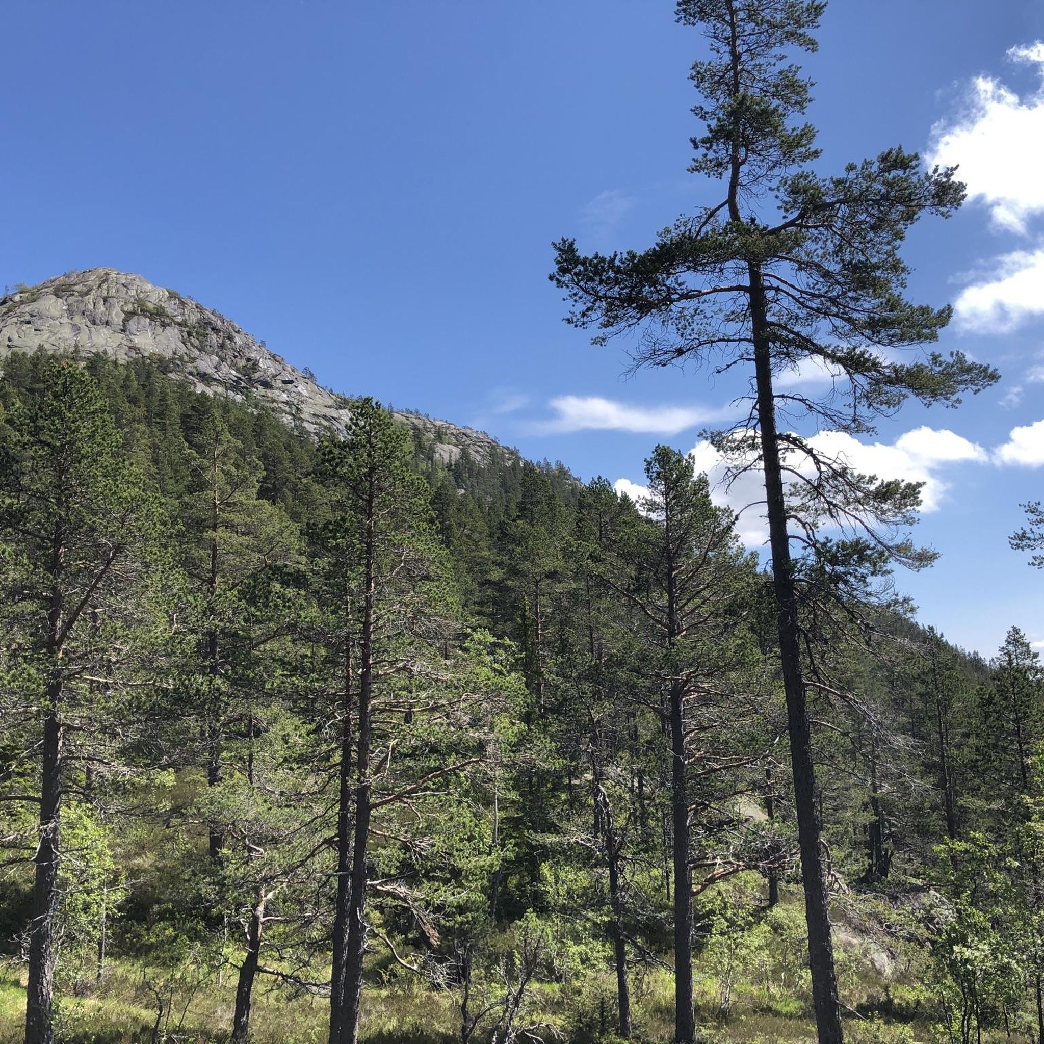
Jogging routes around Vråvatn traverse a diverse landscape in Norway's Telemark region, characterized by mountainous topography, crystal-clear lakes, and lush forests. The area features varied terrain, from gentle paths near the water to more challenging routes ascending "minialpine" peaks like Roholtfjell. Vråvatn itself is part of a larger river system, with the village of Vrådal nestled within an island landscape shaped by the last Ice Age, offering a picturesque setting for outdoor activities.
Best jogging routes around Vråvatn
- The most…
Last updated: June 28, 2026
37
runners
10.1km
01:10
90m
90m
Moderate run. Good fitness required. Mostly paved surfaces. Suitable for all skill levels.
29
runners
7.14km
00:49
60m
60m
Moderate run. Good fitness required. Mostly paved surfaces. Suitable for all skill levels.

Sign up for free
13
runners
8.35km
00:59
80m
80m
Moderate run. Good fitness required. Mostly paved surfaces. Suitable for all skill levels.
4.0
(1)
6
runners
3.80km
00:26
40m
40m
Easy run. Great for any fitness level. Mostly paved surfaces. Suitable for all skill levels.
6
runners
5.83km
00:40
60m
60m
Moderate run. Good fitness required. Mostly paved surfaces. Suitable for all skill levels.
Get access to more routes and recommendations from other explorers.
Sign up for free
Already have an account?
Our route recommendations are based on thousands of hikes, rides, and runs completed by other people on komoot.
Start today with a free account
Your next adventure awaits.
Login or Signup
Popular around Vråvatn
Tips from the Community

Here, next to the old lock, there is a small museum explaining the function and meaning of the locks, as well as information about wood rafting.
1
0
Frequently Asked Questions
What kind of terrain can I expect on running routes around Vråvatn?
The Vråvatn area offers a diverse range of terrain for runners. You'll find everything from gentle, accessible paths near the lakes to more challenging routes ascending "minialpine" peaks like Roholtfjell. The landscape is characterized by mountainous topography, crystal-clear lakes, and lush forests, providing varied surfaces and elevation changes.
Are there any easy or beginner-friendly jogging routes in Vråvatn?
Yes, Vråvatn has options suitable for beginners. For example, the Running loop from Fiskebekk is an easy 2.4-mile (3.8 km) trail that follows gentle paths near the lake, typically completed in about 26 minutes. This route is perfect for a relaxed run.
What are some of the more challenging running trails available?
For a more demanding experience, the region offers routes with significant elevation gain. While not explicitly listed in the guide data, the region research mentions a 13.5 km (8.4 miles) loop from Vrådal kyrkje to Roholtfjellet and Lake Persvatn with 787 meters of elevation gain, requiring a good level of fitness. The mountainous topography ensures plenty of challenging options for experienced runners.
Are there any circular running routes around Vråvatn?
Yes, many of the running routes in Vråvatn are circular. For instance, the popular Storstraum – Sigrishaug loop from Vrådal kyrkje is a 6.3-mile (10.1 km) circular trail. Another great option is the Laugarberget – Sigrishaug loop from Den vesle tjønni, a moderate 5.2-mile (8.3 km) circular path.
What historical or natural landmarks can I see while running in Vråvatn?
While running in Vråvatn, you can encounter several interesting features. The region is known for its "minialpine" peaks like Roholtfjell, offering elevated viewpoints. You might also pass by the historical Storstraum-Småstraum canal, built in 1914, which connects Vråvatn to other waterways. The village of Vrådal itself, nestled within an island landscape, is a picturesque sight.
Is Vråvatn suitable for family-friendly jogging or walks?
Yes, Vråvatn offers routes suitable for families. The easier paths, such as the Running loop from Fiskebekk, are relatively flat and shorter, making them ideal for families or those looking for a less strenuous activity. The varied terrain ensures there's something for all ages and fitness levels.
What is the best time of year to go running in Vråvatn?
Late summer and early autumn are particularly appealing for running in Vråvatn. During this time, the forests are abundant with blueberries and lingonberries, adding a unique charm to your run. The weather is generally pleasant, and the natural scenery is vibrant. While running is possible year-round, conditions will vary seasonally.
Are there places to eat or stay near the running trails in Vråvatn?
The village of Vrådal, situated at the confluence of Vråvatn and Nisser, serves as a convenient hub. It provides amenities, including cafes, pubs, and accommodation options. You'll find places to refuel and relax after your run in this central location.
How many running routes are available in the Vråvatn area on komoot?
There are over 8 dedicated running routes around Vråvatn available on komoot, ranging in difficulty from easy to moderate. This selection provides a good variety for different preferences and fitness levels.
What do other runners say about the trails in Vråvatn?
The running routes in Vråvatn are highly rated by the komoot community, with an average score of 4.8 stars from over 5 reviews. More than 100 runners have used komoot to explore the varied terrain, often praising the stunning natural backdrops and the diversity of the trails.
Can I reach the running trails using public transport?
The region research mentions Vrådal as a convenient hub, implying access. While specific bus routes to trailheads are not detailed, the village of Vrådal is a central point from which many trails are accessible. For detailed public transport information, it's best to check local transport schedules for the Telemark region.
Are there any specific parking facilities for accessing the running routes?
Many routes, such as the Storstraum loop from Vrådal skisenter or routes starting from Vrådal kyrkje, typically have parking available at their starting points. It's advisable to check the specific route details on komoot for parking information related to your chosen trail.
Are dogs allowed on the running trails in Vråvatn?
Generally, dogs are welcome on outdoor trails in Norway, provided they are kept on a leash, especially during certain seasons to protect wildlife. It's always recommended to check local regulations or signage at trailheads for any specific restrictions in the Vråvatn area.

Get inspired with the komoot mobile app


Explore more
Browse the best Running Trails & Routes in other regions.
