The best walks and hikes around Vorlandsvatnet
4.6
(143)
701
hikers
31
hikes
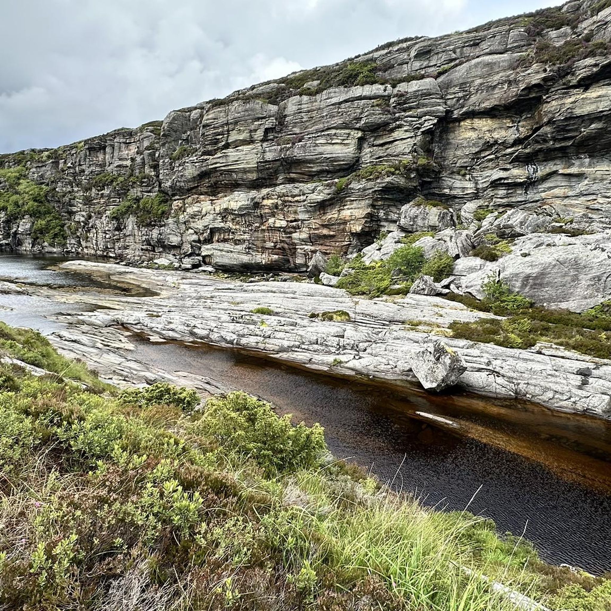
Hiking around Vorlandsvatnet, located in Øygarden, Norway, offers a serene natural environment for outdoor activities. The region is characterized by a tranquil lakeside setting, with the lake itself situated approximately 35 meters above sea level. Surrounding hills, including the Veten hills, feed the lake and contribute to the landscape. The terrain features accessible paths and gentle elevation changes, making it suitable for various hiking experiences.
Best hiking trails around Vorlandsvatnet
- The most popular hiking route is View loop from Glesvær…
Last updated: June 26, 2026
4.5
(13)
43
hikers
6.44km
02:35
290m
290m
Moderate hike. Good fitness required. Mostly accessible paths. Sure-footedness required.
4
hikers
5.54km
01:29
70m
70m
Easy hike. Great for any fitness level. Easily-accessible paths. Suitable for all skill levels.

Sign up for free
5.0
(1)
3
hikers
9.84km
03:33
330m
340m
Moderate hike. Good fitness required. Mostly accessible paths. Sure-footedness required.
4.8
(9)
41
hikers
11.5km
03:08
170m
170m
Moderate hike. Good fitness required. Easily-accessible paths. Suitable for all skill levels.
4.3
(11)
30
hikers
4.61km
01:14
60m
60m
Easy hike. Great for any fitness level. Easily-accessible paths. Suitable for all skill levels.
Get access to more routes and recommendations from other explorers.
Sign up for free
Already have an account?
Our route recommendations are based on thousands of hikes, rides, and runs completed by other people on komoot.
Start today with a free account
Your next adventure awaits.
Login or Signup
Popular around Vorlandsvatnet
Tips from the Community

The Bekhilderen trail in Telavåg offers a hike rich in history and natural beauty. The path leads to a sea cave accessible only at low tide, set amid Vestland’s rugged coastal scenery. Hikers may spot white-tailed sea eagles and gulls along the way.
0
0
Here you will climb well-maintained wooden stairs on the cliffs. Be careful: the wood can be slippery when wet!
0
0

You should be in good shape and wear sturdy shoes
0
0
Frequently Asked Questions
How many hiking trails are available around Vorlandsvatnet?
There are over 30 hiking trails around Vorlandsvatnet, offering a variety of experiences for different skill levels. The area is known for its accessible paths and gentle elevation changes.
What kind of terrain can I expect on hikes around Vorlandsvatnet?
The terrain around Vorlandsvatnet is characterized by a tranquil lakeside setting and surrounding hills, including the Veten hills. You'll find accessible paths and gentle elevation changes, making for a peaceful and enjoyable hiking experience.
Are there any easy or beginner-friendly hikes in the area?
Yes, Vorlandsvatnet is ideal for easy and beginner-friendly hikes. Out of the 31 available routes, 13 are classified as easy. A good option for a peaceful lakeside experience with minor elevation changes is the Hiking loop from Toftarøyna, which is 4.7 km long.
Can I find circular hiking routes around Vorlandsvatnet?
Many of the trails around Vorlandsvatnet are circular, allowing you to start and end at the same point. For example, the View loop from Glesvær is a 5.5 km circular route offering scenic views over the lake.
What are some notable viewpoints or natural features to look out for?
The area offers peaceful views of Vorlandsvatnet itself, which is fed by water from the Veten hills. The lake is also known to be rich in trout. For panoramic views, consider the Mountain Lake – View from Veten loop from Lauvåsen, which takes you through varied lakeside and hill terrain.
Is Vorlandsvatnet a good place for family hikes?
Absolutely. With 13 easy hiking trails and gentle terrain, Vorlandsvatnet is highly accessible and well-suited for families looking for leisurely walks and an enjoyable outdoor experience.
What do other hikers enjoy most about the trails around Vorlandsvatnet?
The trails around Vorlandsvatnet are highly rated by the komoot community, with an average score of 4.6 stars from over 140 reviews. Hikers often praise the serene natural environment, accessible paths, and the peaceful lakeside experience.
Are there any longer or more challenging hikes available?
While many trails are easy, there are also 18 moderate routes for those seeking a bit more challenge. For instance, the View from Veten – Mountain Lake loop from Sund ungdomsskule is a 9.8 km moderate trail with more significant elevation changes.
Is it possible to reach Vorlandsvatnet using public transport?
Information regarding specific public transport routes and stops directly to Vorlandsvatnet is not readily available in the provided data. It is advisable to check local bus schedules for Øygarden to plan your journey.
Are there any specific parking facilities for hikers?
While specific parking facilities are not detailed in the provided information, popular trailheads in areas like Glesvær or Toftarøyna often have designated parking areas. It's recommended to check local signage upon arrival.
What is the best time of year to hike around Vorlandsvatnet?
The region offers an enjoyable experience throughout the warmer months, from spring to autumn, when the accessible paths are clear and the natural beauty is at its peak. Winter hiking conditions would depend on snow and ice, so checking local weather is advised.
Most popular routes around Vorlandsvatnet

Get inspired with the komoot mobile app


Explore more
Browse the best Hikes in other regions.
