The best running trails in Richland County
4.3
(3)
744
runners
78
runs
Jogging in Richland County offers diverse landscapes, from riverfront greenways to extensive forest trails and scenic bluffs. The region is characterized by its network of rivers, green valleys, and wooded areas, providing varied terrain for runners. These natural features create a mix of easy, moderate, and challenging running routes.
Best jogging routes in Richland County
- The most popular jogging route is Three Rivers Greenway, a 5.3 miles (8.6 km) trail that takes about 53 minutes to complete. This route…
Last updated: October 10, 2026
86
runners
8.57km
00:53
20m
20m
The Three Rivers Greenway offers a refreshing urban escape, winding along paved paths and boardwalks through Southern hardwood forests. You'll enjoy dynamic riverfront views where the Broad, Saluda, and Congaree…
22
runners
5.79km
00:36
10m
10m
The Saluda Riverwalk offers a delightful escape into nature, winding along the river on a mix of paved paths and elevated boardwalks. You'll enjoy continuous views of the Saluda River,…

18
runners
5.58km
00:41
30m
30m
Embark on the Loop Trail for a moderate jogging experience that takes you through a peaceful forest setting. This route offers varied terrain and diverse plant life, providing a refreshing…
3
runners
11.5km
01:24
90m
90m
This moderate 7.2-mile (11.5 km) jogging loop in Harbison State Forest offers a wilderness experience with varied scenery and river views.
1
runners
3.58km
00:23
0m
0m
Jog the easy 2.2-mile Weston Lake loop via Boardwalk Trail in Congaree National Park, exploring an old-growth forest and Weston Lake.
2.51km
00:16
20m
20m
The Granby Park Trail offers a delightful natural oasis right in Columbia, perfect for a quick jog or a leisurely walk. You'll wind through deeply shaded, lush wooded areas, enjoying…
12.0km
01:27
0m
0m
Jog the Kingsnake Trail in Congaree National Park, a 7.5-mile route through old-growth forest with views of Cedar Creek.
84
runners
11.2km
01:10
70m
70m
Moderate run. Good fitness required. Mostly paved surfaces. Suitable for all skill levels.
5.0
(1)
24
runners
Moderate run. Good fitness required. Mostly paved surfaces. Suitable for all skill levels.
26
runners
Moderate run. Good fitness required. Mostly paved surfaces. Suitable for all skill levels.
Get access to more routes and recommendations from other explorers.
Already have an account?
Our route recommendations are based on thousands of hikes, rides, and runs completed by other people on komoot.
Start today with a free account
Your next adventure awaits.
Popular around Richland County
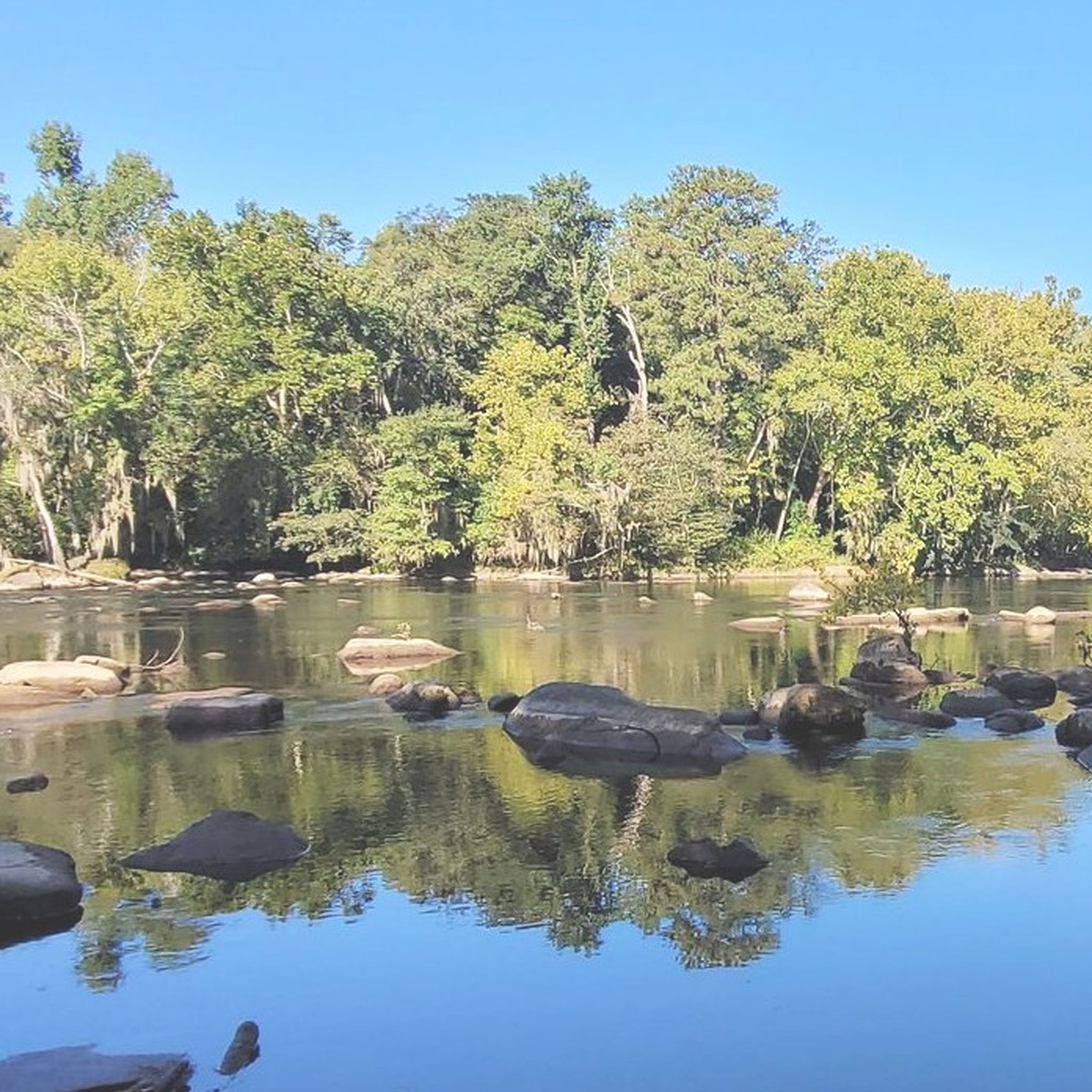
Running Trails around Columbia

Running Trails around St. Andrews

Running Trails around Olympia

Running Trails around Irmo

Running Trails around Hopkins

Running Trails around Arthurtown

Running Trails around Dentsville
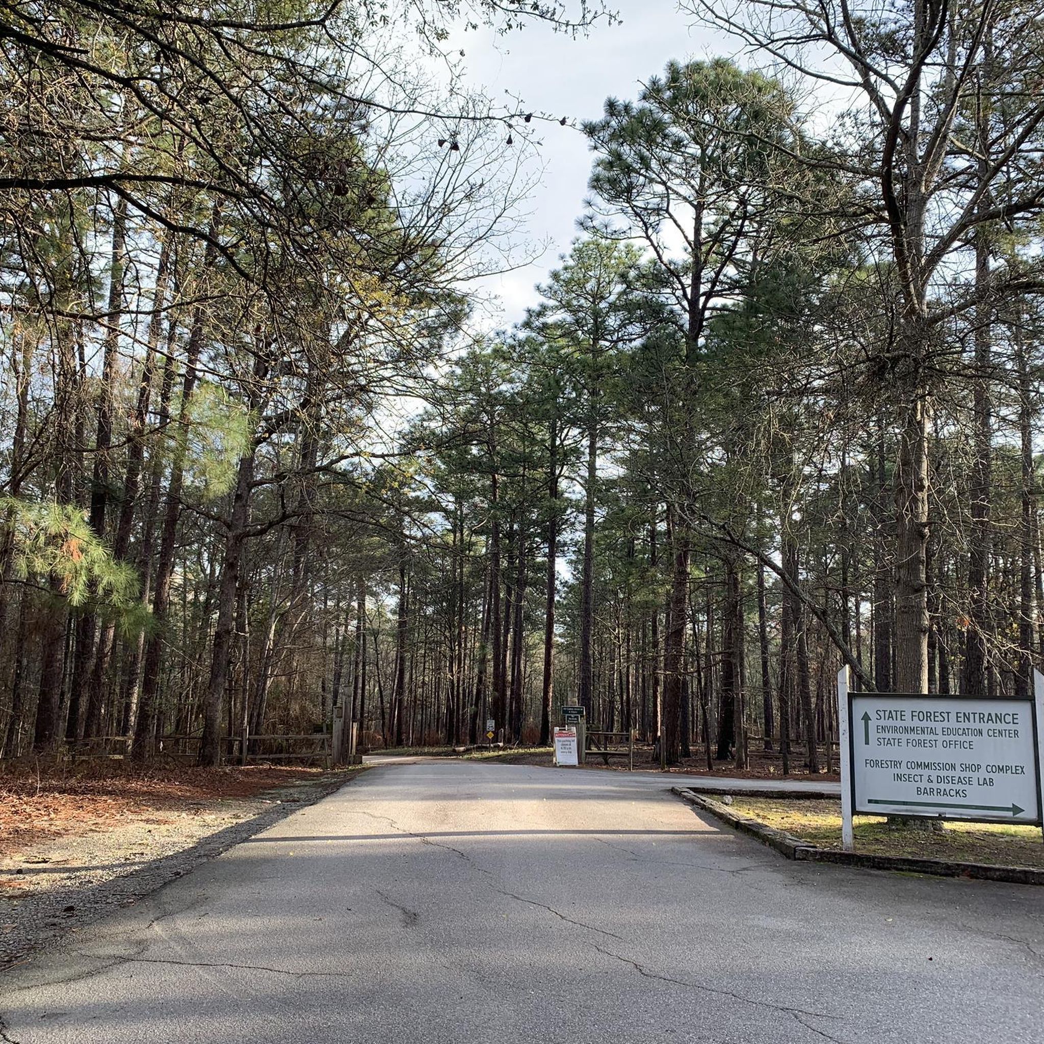
Running Trails in Harbison State Forest

Running Trails around Woodfield

Running Trails around Lake Murray Of Richland


Tips from the Community

The Three Rivers Greenway is a pathway connecting the three cities of Columbia, West Columbia and Gayce. The name comes from the three rivers that meet here: Broad, Saluda, and Congaree River. The trail provides a mix of river views, woodlands, and parks and is a great destination for hiking, running and cycling.
0
0

Flat and safe riverside park. Great for running, biking, or walking
0
0

Sesquicentennial Park or "Sesqui" is a popular park near Columbia. There are miles of trails that wind through 1,400 acres of pines tress. The trails are a mix of difficulties, so there is something for everyone.
1
0
Granby Park is a 12-mile park along the banks of the Congaree River. There is a trail that runs through the park, which gives great views of the river.
1
0
The Kingsnake Trail is a popular trail in Congaree National Park Willderness. The path winds through a more remote section of the national park and there is a good chance you can see some wildlife, such as deer and snakes.
1
0

Weston Lake is situated within Congaree National Park. There is a loop trail (primarily on an elevated boardwalk) that passes by the lake and through the wetland areas surrounding the water. The reservoir is home to a bunch of different plants and animals, and there are several areas with great views of the water.
0
0

The Boardwalk is a great place to see some of the giant trees that put this park on the map, as well as habitat for the rare Carolina bogmint. There are numbered markers along the boardwalk that corresponds with the current park visitor's guide and provides information on the history of the park.
0
0
Sesquicentennial Park or "Sesqui" is a popular park near Columbia. There are miles of trails that wind through 1,400 acres of pines tress. The trails are a mix of difficulties, so there is something for everyone.
1
0
Frequently Asked Questions
How many running routes are available in Richland County?
Richland County offers a wide selection of over 60 running routes. These include a mix of easy, moderate, and challenging paths, ensuring there's something for every runner.
Are there easy running routes suitable for beginners or families?
Yes, Richland County has several easy running routes. For example, the Weston Lake loop via Boardwalk Trail in Congaree National Park is an easy 2.2-mile path through an old-growth forest. Another accessible option is the Granby Park Trail, which is just over 1.5 miles long and offers pleasant river views.
Can I bring my dog on the running trails in Richland County?
Many trails in Richland County are dog-friendly, but policies vary by location. The Three Rivers Greenway is generally welcoming to dogs on leash. For specific pet policies in areas like Congaree National Park or Harbison State Forest, it's always best to check their official guidelines beforehand.
What kind of scenery or natural features can I expect on the jogging routes?
Richland County's running routes offer diverse scenery. You can enjoy riverfront views along the Saluda Riverwalk and Three Rivers Greenway, or explore extensive woodlands in Harbison State Forest. The region also features unique natural formations like those found in the Driftless Area of Richland County, Wisconsin, with bluffs and green valleys.
Are there any circular running routes in Richland County?
Yes, several routes offer a loop experience. The Harbison State Forest loop is a popular 7.1-mile circular trail, providing varied forest scenery and river views. Another option is the Weston Lake loop via Boardwalk Trail in Congaree National Park.
Where can I find parking for popular running trails?
Parking is generally available at major trailheads. For the Three Rivers Greenway and Saluda Riverwalk, there are designated parking areas in Columbia, SC. Harbison State Forest also provides parking for trail users. Congaree National Park has visitor parking for access to its trails.
Do I need permits to jog in areas like Harbison State Forest or Congaree National Park?
While general jogging on main trails typically doesn't require a specific permit, some areas might have entrance fees or specific regulations. For Harbison State Forest, there may be a small fee for vehicle entry. Congaree National Park generally does not require permits for day use, but it's always wise to check their official websites for the most current information before your visit.
What do other runners say about the trails in Richland County?
The running routes in Richland County are highly rated by the komoot community, with an average score of 5.0 stars. Runners often praise the diverse terrain, scenic riverfronts, and the peaceful experience offered by trails like the Harbison State Forest loop.
Are there any running routes in Richland County, Wisconsin?
Yes, Richland County, Wisconsin, offers distinct running opportunities. The 14.8-mile Pine River Recreation Trail follows an abandoned railbed, providing an easy-graded path. Additionally, Miner Hill Trail Park features a walking trail with panoramic views from a bluff, and Ash Creek Community Forest offers miles of primitive trails.
What are some longer running routes for experienced runners?
For those seeking a longer challenge, the Harbison State Forest loop is a moderate 7.1-mile trail. Another option is the Kingsnake Trail, a moderate 7.5-mile route, offering a good distance for experienced runners.
Are there any trails that offer river views?
Absolutely. Richland County is known for its riverfront trails. The Three Rivers Greenway offers extensive views of the Broad, Saluda, and Congaree Rivers. The Saluda Riverwalk provides scenic vistas along the Saluda River, and Granby Park Trail also runs along the Congaree River.
Are there any interesting landmarks or attractions near the running routes?
Yes, several routes pass by or are close to notable attractions. Near Congaree National Park, you can explore the Congaree National Park Boardwalk and Weston Lake. Harbison State Forest itself is a significant natural landmark. In Richland County, Wisconsin, you might encounter spectacular geologic formations like Elephant Rock or Natural Bridge.
Most popular routes in Richland County
Most popular attractions in Richland County

Get inspired with the komoot mobile app


Didn’t find what you were looking for?
Check out more Running Trails & Routes throughout Richland County below and find the perfect route in your destination.
Explore more
Browse the best Running Trails & Routes in other regions.
