The best running trails in Pickett County
12
runners
11
runs
Jogging in Pickett County offers access to a diverse landscape characterized by sandstone bluffs, dense hardwood forests, and a network of wild mountain streams. The region is situated on the Cumberland Plateau, featuring unique geological formations including natural bridges and arches. These natural features provide varied terrain for running, from gentle paths to more challenging trails.
Best jogging routes in Pickett County
- The most popular jogging route is Grand Gap and John Muir Trail Loop, a 15.6 miles (25.0…
Last updated: June 24, 2026
4
runners
25.0km
03:04
420m
420m
Hard run. Very good fitness required. Mostly paved surfaces. Suitable for all skill levels.
3
runners
7.86km
01:02
170m
170m
Moderate run. Good fitness required. Mostly paved surfaces. Suitable for all skill levels.

Sign up for free
4.90km
00:41
170m
160m
Moderate run. Good fitness required. Mostly paved surfaces. Suitable for all skill levels.
12.0km
01:28
160m
160m
Moderate run. Good fitness required. Mostly paved surfaces. Suitable for all skill levels.
29.6km
03:48
550m
550m
Hard run. Very good fitness required. Mostly paved surfaces. Suitable for all skill levels.
10.3km
01:16
110m
110m
Moderate run. Good fitness required. Mostly paved surfaces. Suitable for all skill levels.
17.7km
02:11
320m
320m
Hard run. Very good fitness required. Mostly paved surfaces. Suitable for all skill levels.
3.69km
00:27
60m
60m
Easy run. Great for any fitness level. Mostly paved surfaces. Suitable for all skill levels.
6.42km
00:41
80m
80m
Moderate run. Good fitness required. Mostly paved surfaces. Suitable for all skill levels.
5
runners
Hard run. Very good fitness required. Mostly paved surfaces. Suitable for all skill levels.
Our route recommendations are based on thousands of hikes, rides, and runs completed by other people on komoot.
Start today with a free account
Your next adventure awaits.
Login or Signup
Popular around Pickett County
Tips from the Community

The John Muir Trail runs flat along the Cumberland River here between Leatherwood Ford and the Grand Gap. There is a dispersed camping site along the middle of the segment.
0
0
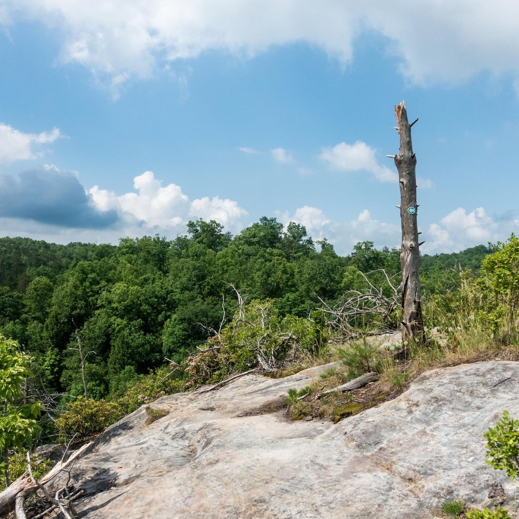
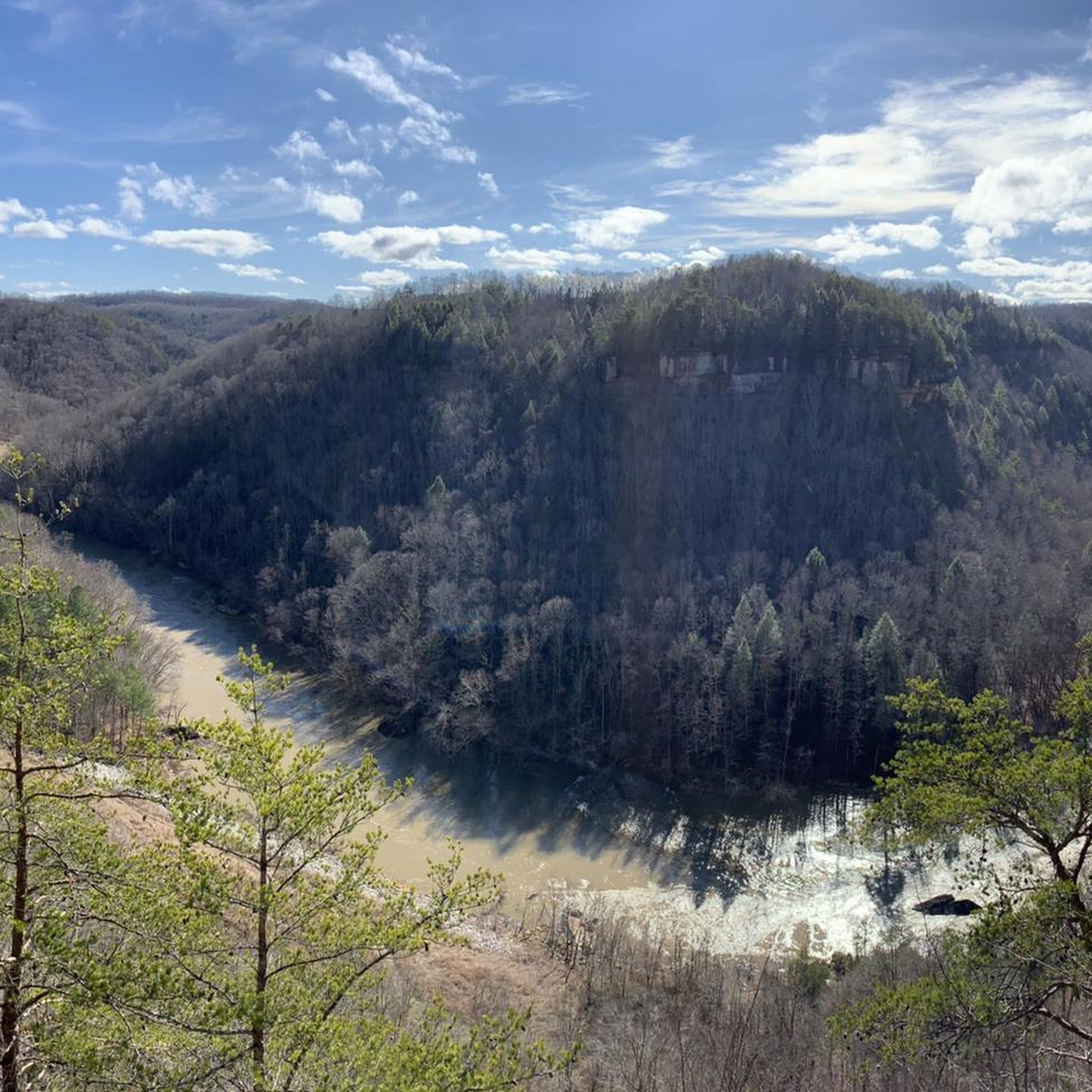
This rocky outcropping is warmed by the sun during the day and makes for a fantastic picnic spot with spectacular views over the Cumberland River and Angel Falls. You get more great views of the river as you descend the John Muir Trail just below the overlook.
0
0

The main campground in the Big South Fork National River and Recreation Area acts as a parking area and trailhead for a bunch of different trails and forest roads. The trail signage in Big South Fork is great, and it's easy to find your way back if you decide to deviate from your planned route. Some trails are rougher than others, but they are marked accordingly and intersect each other frequently.
0
0
The bridge is a truly remarkable formation that closely resembles the slender and graceful arch of a man-made bridge. This is right next to the parking area and easily accessible both from the trail and as a quick stop off the highway.
0
0
Hazard Cave is an epic open cavern with plenty of space to walk around inside and feel like you are in an underground amphitheater. There are some benches just under near the entrance. The trail is well marked, well maintained, and fairly easy.
0
0
Up on the ridgeline you get a view of the creek network and Pickett State Forest. This is one of the most exciting parts of the trail, and as you continue on the loop you will be treated to cliffs, caves, waterfalls, and the intricate network of creeks crisscrossing the park.
0
0
Slave Falls is a small but high waterfall which tumbles into the sandstone crescent below. You can access the fall from the north or the south side of the creek.
0
0
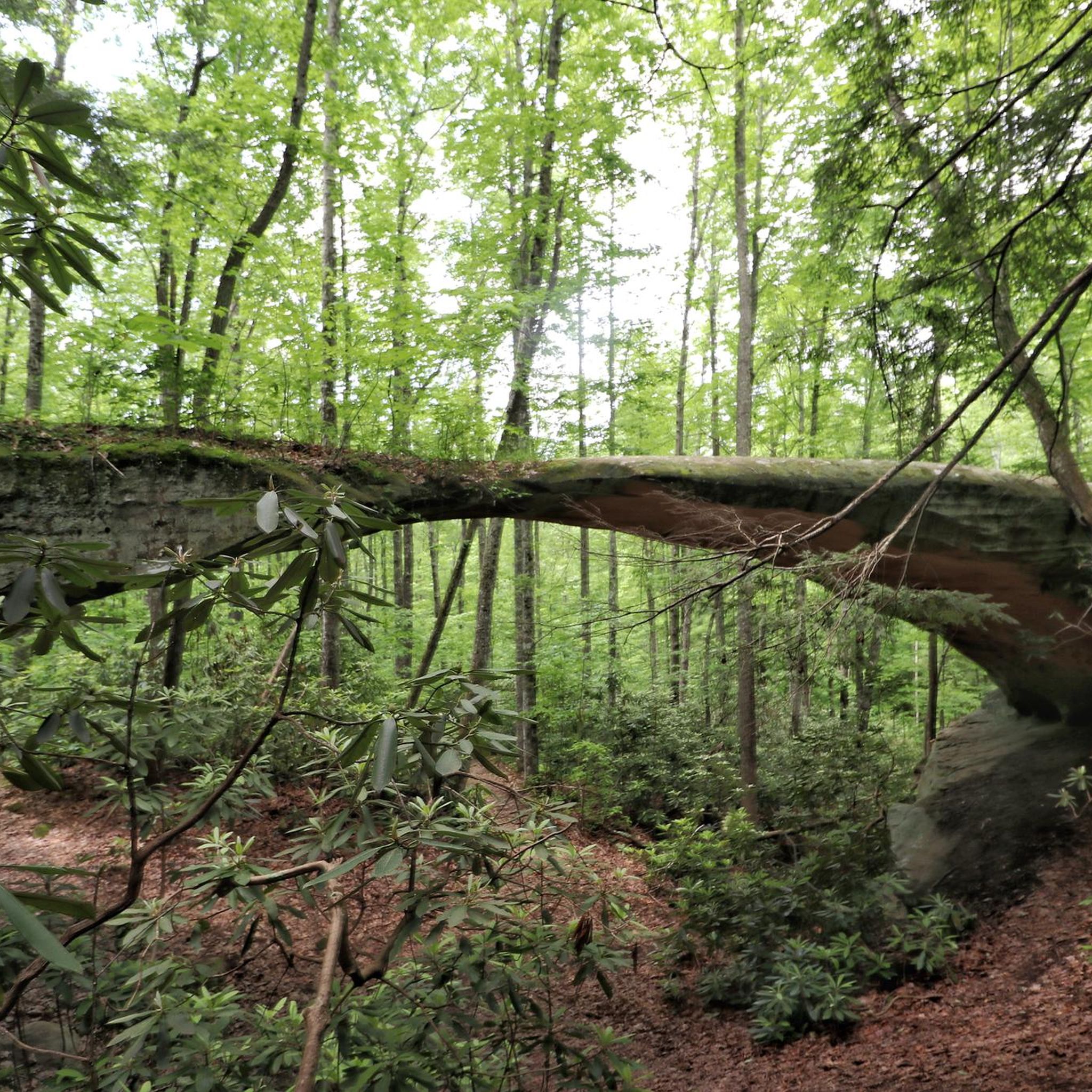
The small out-and-back trail to the arch is remarkable and definitely worth it! True to its name, the natural bridge is long and thin and looks more closely resembles a tree that has fallen across the path than a stone formation.
0
0
Frequently Asked Questions
How many running routes are available in Pickett County?
Pickett County offers a diverse selection of over 10 jogging routes, catering to various fitness levels. These routes traverse the region's unique landscapes, from easy loops to more challenging long-distance trails.
Are there easy running routes suitable for beginners or families?
Yes, Pickett County has several easy running routes perfect for beginners or families. A great option is the Hazard Cave and Natural Bridge Trail Loop, an easy 2.3-mile (3.7 km) path that explores a massive rock shelter and a natural sandstone bridge within Pickett CCC Memorial State Park.
Can I bring my dog on the jogging trails in Pickett County?
Many trails in Pickett County, including those in Pickett CCC Memorial State Park and Big South Fork National River and Recreation Area, are generally dog-friendly, but policies can vary. It's always best to check specific park regulations regarding pets, especially leash requirements, before heading out. Ensure your dog is well-behaved and that you clean up after them.
What kind of natural features or landmarks can I expect to see while running?
Jogging in Pickett County offers stunning natural sights. You'll encounter impressive sandstone bluffs, dense hardwood forests, and unique geological formations like natural bridges and arches. The Twin Arches Loop Trail, for instance, leads to one of the largest natural sandstone arches in the eastern United States. Many routes also feature wild mountain streams and diverse wildlife.
Are there any circular running routes in the area?
Yes, many of Pickett County's running routes are designed as loops, allowing you to start and end at the same point. Examples include the Leatherwood Loop Trail and the Hidden Passage Trail Loop, offering varied distances and terrains for a complete running experience.
What are the parking options for accessing jogging trails?
Most major trailheads within Pickett CCC Memorial State Park, Pickett State Forest, and Big South Fork National River and Recreation Area offer designated parking areas. These are typically well-marked and provide convenient access to the trail networks. It's advisable to check specific park maps or visitor center information for detailed parking locations.
Is public transport available to reach the trailheads?
Public transport options are very limited in Pickett County, given its rural nature. Most visitors rely on personal vehicles to access the various state parks, forests, and trailheads. Planning for private transportation is recommended when visiting the area for jogging.
Do I need any permits to jog in Pickett County's state parks or forests?
Generally, no specific permits are required for day-use jogging on established trails within Pickett CCC Memorial State Park or Pickett State Forest. However, for certain activities like backcountry camping or specific areas, permits might be necessary. It's always a good idea to check with the park or forest office if you plan activities beyond standard trail running.
What is the best time of year to go jogging in Pickett County?
Pickett County offers beautiful running conditions throughout much of the year. Spring brings vibrant wildflowers and mild temperatures, while autumn showcases spectacular fall foliage. Summer can be warm and humid, but the dense hardwood forests provide ample shade. Winter jogging is possible, but be prepared for colder temperatures and potential icy patches on trails.
Are there any routes that feature waterfalls?
Yes, Pickett County's landscape is crisscrossed by wild mountain streams, and some trails lead to beautiful waterfalls. The Hidden Passage Trail, for example, provides access to Crystal Falls and Double Falls, offering refreshing sights and sounds during your run.
Where can I find refreshments or accommodation near the running trails?
While the immediate vicinity of many trailheads is wilderness, you can find refreshments and accommodation in nearby towns like Byrdstown and Jamestown. Pickett CCC Memorial State Park also offers cabins and camping facilities. These towns provide local cafes and eateries for post-run meals.
Are there longer, more challenging running routes for experienced runners?
Absolutely. For experienced runners seeking a challenge, Pickett County offers several difficult, longer routes. The Grand Gap and John Muir Trail Loop is a demanding 15.6-mile (25.0 km) trail that explores the extensive wilderness of the Big South Fork National River and Recreation Area, featuring significant elevation changes.
What makes Pickett County a unique place for outdoor running?
Pickett County stands out for its unique geological formations, including some of the largest natural sandstone bridges and arches in the eastern U.S. Its location on the remote Cumberland Plateau, combined with dense hardwood forests and a network of pristine wild mountain streams, creates a truly distinctive and scenic environment for outdoor running, offering both natural beauty and varied terrain.
Most popular routes in Pickett County

Get inspired with the komoot mobile app


Didn’t find what you were looking for?
Check out more Running Trails & Routes throughout Pickett County below and find the perfect route in your destination.
Explore more
Browse the best Running Trails & Routes in other regions.
