The best road cycling routes around Nord-Elvåga
4.3
(55)
3,570
riders
52
rides
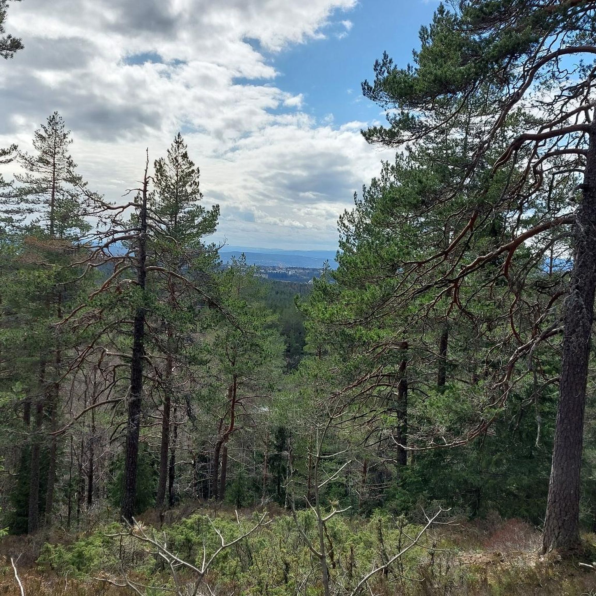
Road cycling around Nord-Elvåga, situated within the Østmarka forest, offers varied terrain for cyclists. The region features the long, narrow Nord-Elvåga lake, bordered by hills such as Garfangåsen and Blåsyna, providing a picturesque backdrop. Cyclists can find a network of forest roads, including well-maintained paved surfaces, that traverse forested areas and stretches along the water. These road cycling routes allow for exploration of the natural features of the Østmarka, with elevations contributing to diverse cycling experiences.
Best road cycling routes…
Last updated: July 10, 2026
19
riders
115km
05:07
1,090m
1,090m
Hard road ride. Very good fitness required. Some segments of this route may be unpaved and difficult to ride.
5
riders
135km
06:21
1,250m
1,250m
Hard road ride. Very good fitness required. Some segments of this route may be unpaved and difficult to ride.

Sign up for free
4
riders
123km
05:27
1,120m
1,120m
Hard road ride. Very good fitness required. Mostly well-paved surfaces and easy to ride.
5
riders
140km
06:16
1,360m
1,360m
Hard road ride. Very good fitness required. Some segments of this route may be unpaved and difficult to ride.
2
riders
123km
05:34
1,280m
1,280m
Hard road ride. Very good fitness required. Some segments of this route may be unpaved and difficult to ride.
Get access to more routes and recommendations from other explorers.
Sign up for free
Already have an account?
Our route recommendations are based on thousands of hikes, rides, and runs completed by other people on komoot.
Start today with a free account
Your next adventure awaits.
Login or Signup
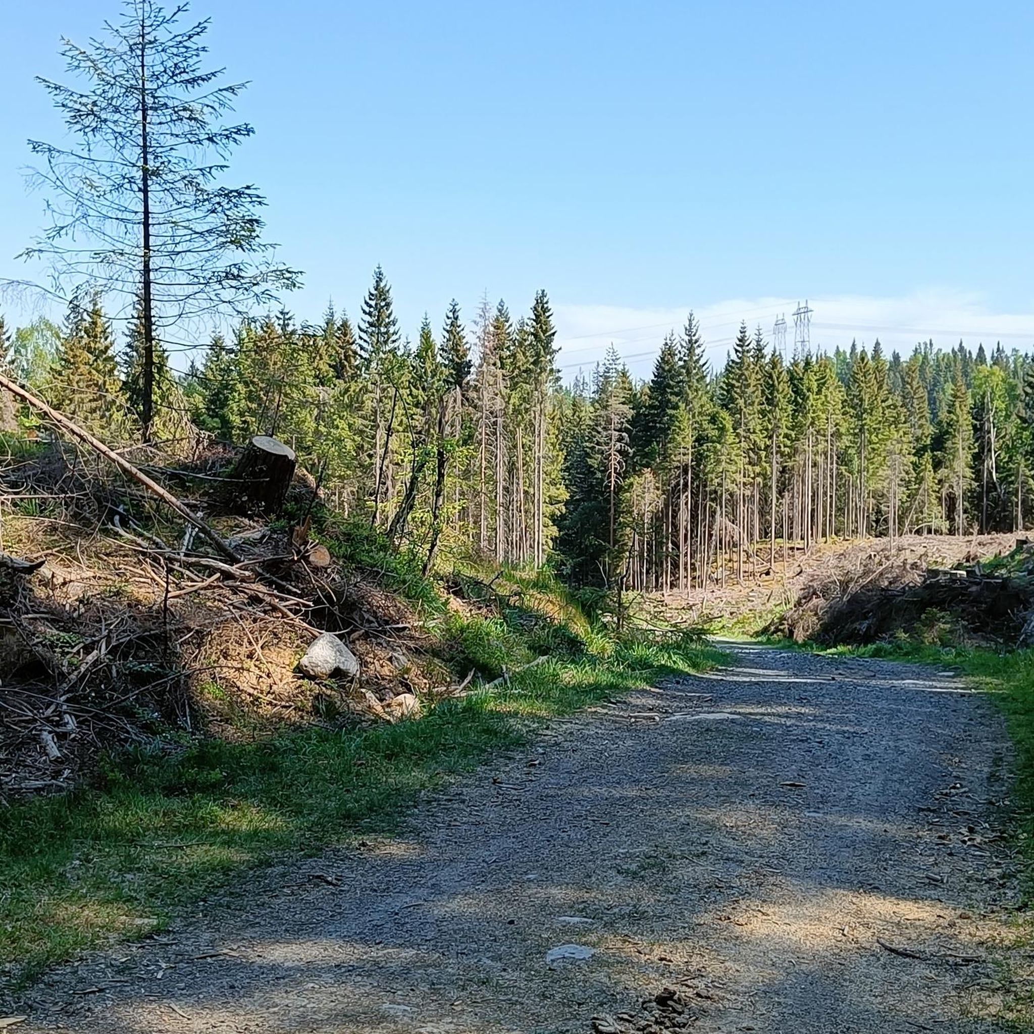
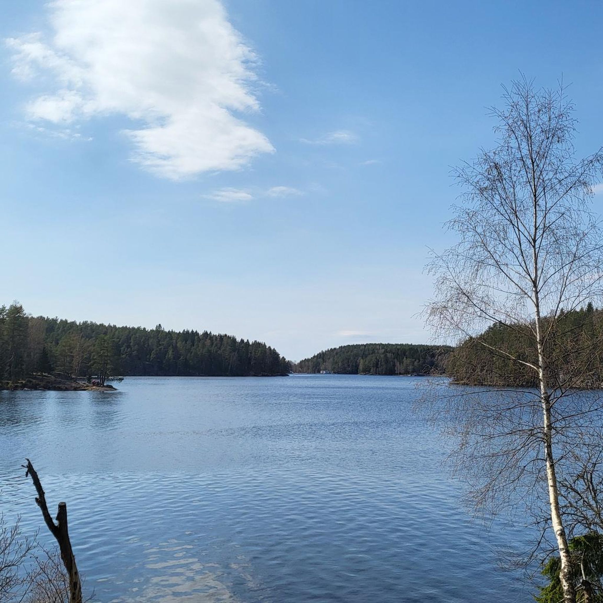
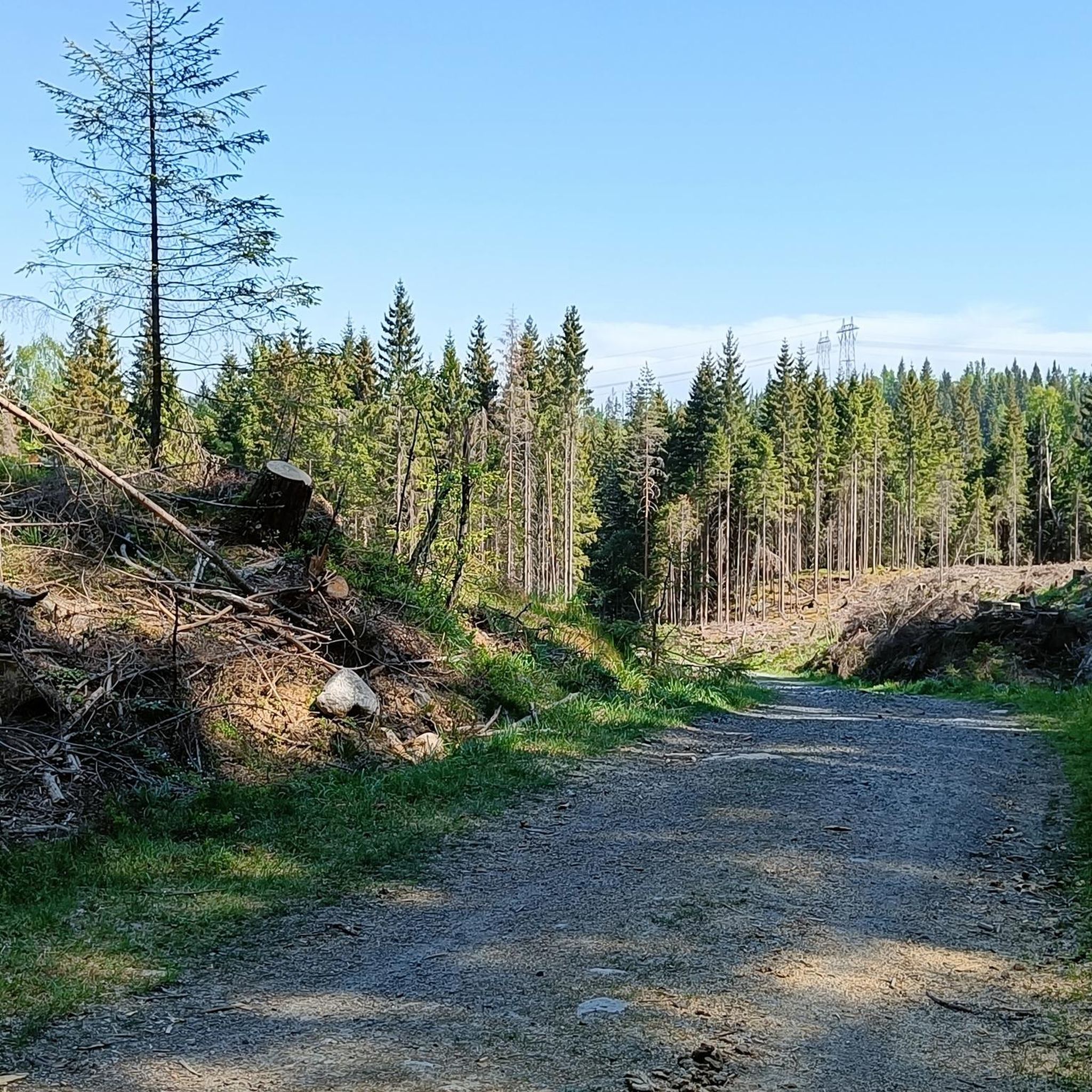
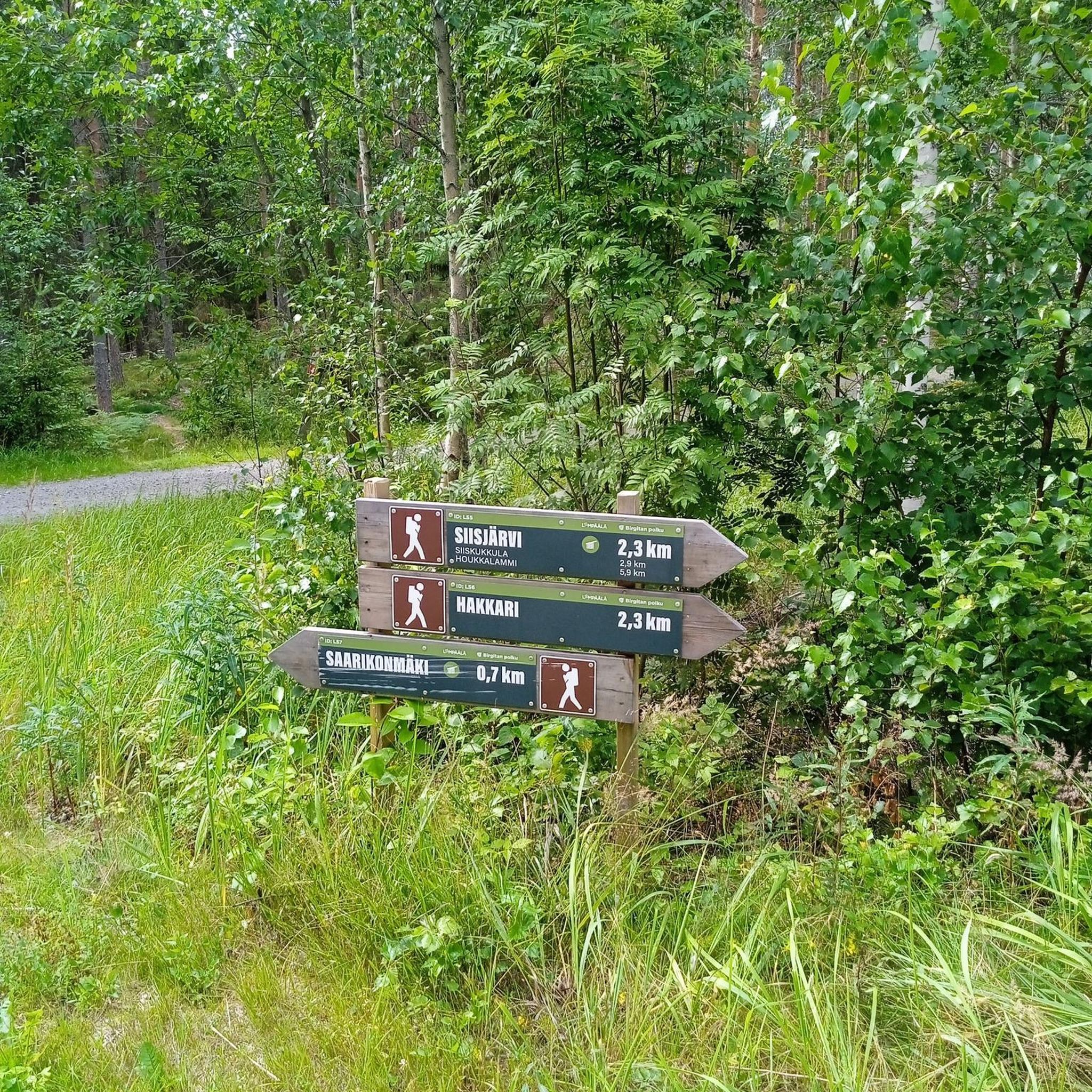
Tips from the Community

Enjoy a quieter stretch through the countryside with open fields and rural scenery.
0
0

The Aurmoen landskapsvernområde is a nature reserve north of Oslo Airport. Here you will find a car park that serves as the starting point for the many paths that criss-cross the area. As it borders a military base, you should check in advance whether any exercises are taking place. You can find the barracks' telephone number here: https://www.forsvaret.no/om-forsvaret/tjenestesteder/sessvollmoen.
0
0


Almost every bit of road that leads to and from this place is a premium road cycling road.
0
0

Viewpoint directly on the footpath and cycle path. Beautiful views of Oslo directly from the path, but no rest stop.
1
0

Great little cafe at the train station, very friendly to cyclists.
0
0

Nice view of the lake from the road. It's peaceful and picturesque, and the road is undulating and smooth. A very nice place to ride a bike.
0
0

Perfect bike road between Spydeberg and Lyseren.
0
0
Frequently Asked Questions
What kind of terrain can I expect on road cycling routes around Nord-Elvåga?
The Nord-Elvåga region, part of the Østmarka forest, offers a mix of forested areas and stretches along the water. You'll find a network of forest roads, including well-maintained gravel paths, with varied elevations due to surrounding hills like Garfangåsen and Blåsyna. This provides diverse cycling experiences.
How many road cycling routes are available in the Nord-Elvåga area?
There are over 50 road cycling routes available around Nord-Elvåga, catering to various skill levels. This includes 6 easy routes, 29 moderate routes, and 22 difficult routes.
Are there routes suitable for experienced road cyclists looking for a challenge?
Yes, experienced road cyclists can find challenging routes. For instance, the Lovely and quiet back road – Lake View in Østmarka loop from Bøler is a difficult 114.8 km route with over 1000 meters of elevation gain, offering lake views and quiet roads. Another difficult option is the Ski Airport – View of the lake loop from Haugerud, which is nearly 140 km long with significant climbing.
What are some scenic highlights or landmarks I might encounter while cycling?
Cyclists can enjoy serene lake views of Nord-Elvåga, which is a long and narrow lake. The routes also traverse extensive forested areas and offer glimpses of the surrounding hills. A notable stop is Mariholtet, a tourist lodge located on the western side of Fri-Elvåga, which is the northern section of the lake where recreational activities are permitted.
Is there public transport access to the cycling routes in Nord-Elvåga?
Yes, the Nord-Elvåga area is readily accessible by public transport from Oslo. You can take the T-bane (metro) to Ellingsrudåsen, which provides convenient access to the area's cycling paths and serves as a starting point for many routes.
Are there any family-friendly road cycling options in Nord-Elvåga?
While many routes are moderate to difficult, the presence of well-maintained gravel roads and the option to combine cycling with other activities like swimming in Fri-Elvåga can make parts of the area suitable for families. Look for the 6 easy routes available, which typically have less elevation and shorter distances.
What do other road cyclists say about the routes in Nord-Elvåga?
The road cycling routes in Nord-Elvåga are highly rated by the komoot community, with an average score of 4.3 stars from over 40 reviews. Cyclists often praise the serene lake views, extensive forested areas, and the varied terrain that offers options for different ability levels.
Can I find circular road cycling routes in Nord-Elvåga?
Yes, many of the routes around Nord-Elvåga are designed as loops. For example, the Lake View in Østmarka – Scenic Forest Road loop from Skullerud is a moderate 85 km circular path winding through scenic forest roads with lake views.
Are there places to stop for refreshments along the routes?
Mariholtet, a tourist lodge situated on the western side of Fri-Elvåga, serves as a natural stopping point for those exploring the area. It's a convenient place to take a break and enjoy refreshments during your ride.
What is the best time of year for road cycling in Nord-Elvåga?
The region is generally best enjoyed during the warmer months when the forest roads are clear of snow and ice, typically from late spring through early autumn. This allows for optimal conditions to experience the natural beauty of the Østmarka.
Are there any moderate-difficulty routes that offer good views?
Absolutely. The Lake View in Østmarka – Scenic Forest Road loop from Skullerud is a popular moderate route, approximately 85 km long, that winds through scenic forest roads and provides beautiful views of the lake and natural surroundings.
What are the typical distances and elevations for road cycling routes here?
Routes vary significantly. Distances range from shorter, easier options to challenging rides over 130 km. For example, the View of Oslo from Ekebergveien – Trandumskogen Tank Shooting Range loop from Bogerud is 135.2 km with over 1250 meters of elevation gain, while other routes are shorter with less climbing.
Most popular routes around Nord-Elvåga

Get inspired with the komoot mobile app


Explore more
Browse the best Road cycling routes in other regions.
