The best walks and hikes around Nord-Elvåga
4.6
(792)
8,002
hikers
306
hikes
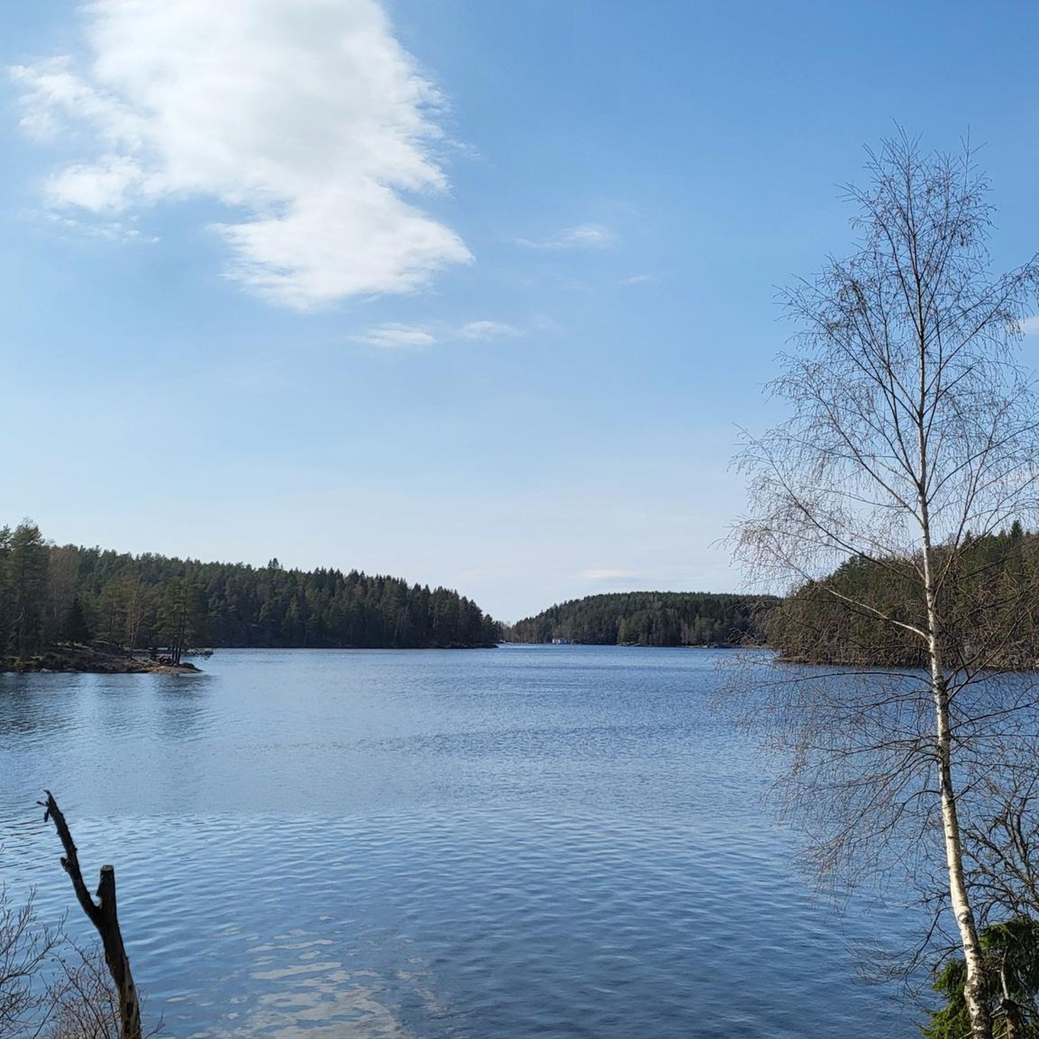
Hiking around Nord-Elvåga offers a diverse landscape characterized by lush forests and crystal-clear rivers, situated in Østmarka on the border between Lørenskog and Oslo. The region features the prominent Elvåga lake, divided into a regulated southern part and an unregulated northern section, Fri-Elvåga, which is open for recreation. Terrain varies from gentle paths through meadows to moderate inclines, providing a range of experiences for hikers.
Best hiking trails around Nord-Elvåga
- The most popular hiking route is Ellingsrudlia – Bjørnåsen loop…
Last updated: October 13, 2026
2
hikers
8.92km
02:43
290m
290m
Moderate hike. Good fitness required. Mostly accessible paths. Sure-footedness required.
1
hikers
2.67km
00:45
50m
50m
Easy hike. Great for any fitness level. Easily-accessible paths. Suitable for all skill levels.

2.14km
00:37
50m
50m
Easy hike. Great for any fitness level. Easily-accessible paths. Suitable for all skill levels.
3.8
(4)
26
hikers
10.1km
02:48
170m
170m
Moderate hike. Good fitness required. Easily-accessible paths. Suitable for all skill levels.
5.0
(1)
6
hikers
9.39km
02:44
240m
240m
Moderate hike. Good fitness required. Easily-accessible paths. Suitable for all skill levels.
Get access to more routes and recommendations from other explorers.
Already have an account?
Our route recommendations are based on thousands of hikes, rides, and runs completed by other people on komoot.
Start today with a free account
Your next adventure awaits.
Tips from the Community

Rustadsaga has welcomed walkers and skiers for over a century. Originally built in 1916 as the sawmaster's house under the name Saghøy, it has been serving visitors to Østmarka since the early 1920s and remains one of the area's most popular trail cafés.
0
0
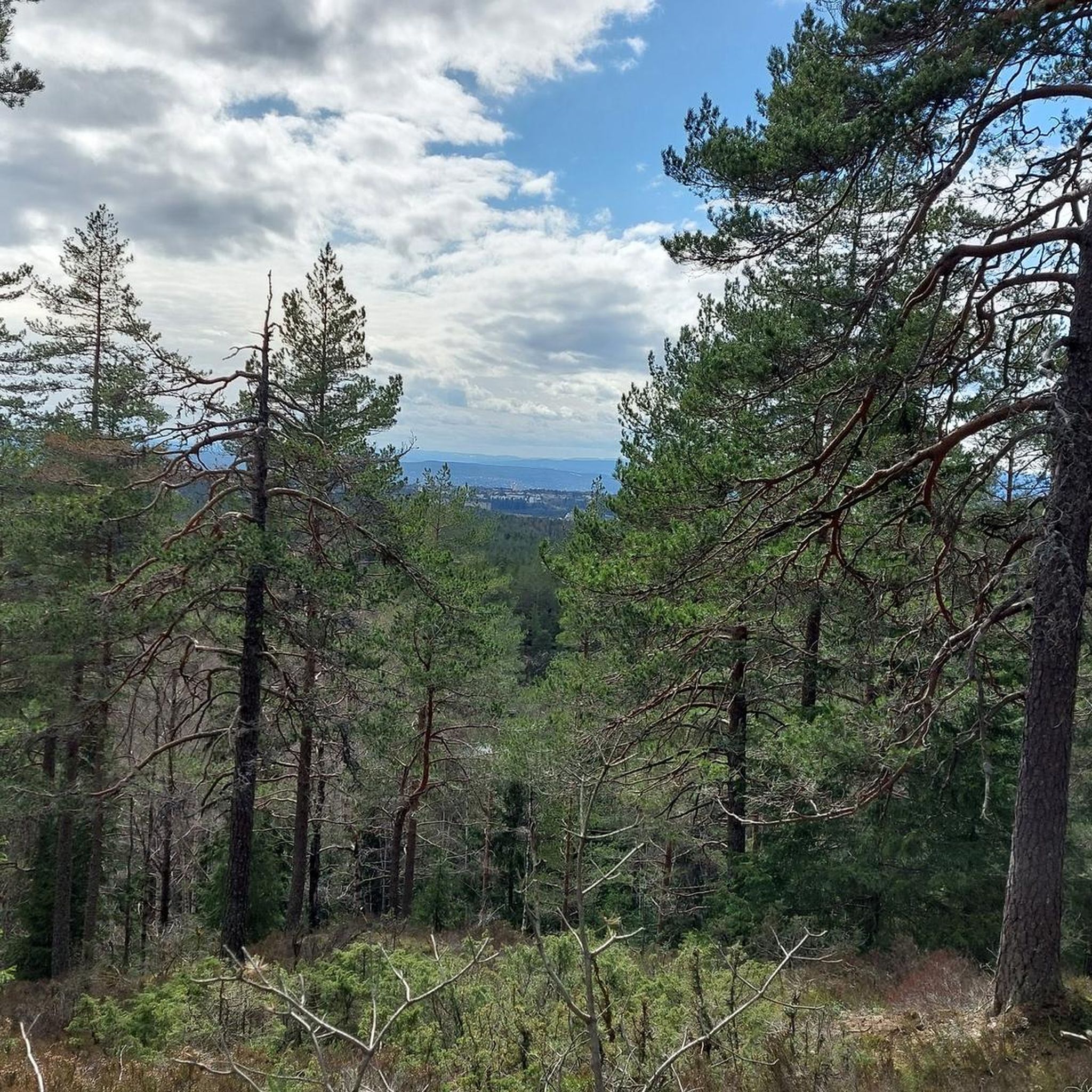
Sankthansåsen offers peaceful views across the forests and lakes of Østmarka. It's a quiet viewpoint that feels surprisingly remote despite being just outside Oslo.
0
0

The Haukåsen radar is an air traffic radar located on Haukåsen in Oslo, southeast of Haugerud in Groruddalen. It covers the entire Eastern Norway and is important for Oslo Airport, Gardermoen. It is unmanned but controlled from Avinor's control center in Røyken.
0
0

This small bridge is always interesting to look at because it blends in well with the surroundings. The two elements on the left and right are made of solid stone, while the bridge itself is constructed of wood.
0
0


Cosy cabin café tucked into the forest, a perfect stop for a coffee or waffle after a walk around the lake.
0
0

This area is flooded currently due to a brand new beaver dam. Luckily, it is easy to get around by a few 100m detour to the north.
0
0

The ball 🥎 both in GRV and MTB
0
0
Frequently Asked Questions
What kind of terrain can I expect on hikes around Nord-Elvåga?
The Nord-Elvåga area offers a diverse range of terrain. You'll find lush forests and crystal-clear rivers, with paths varying from gentle strolls through serene meadows and alongside babbling brooks to moderate inclines, especially on routes leading to viewpoints. The region is part of Østmarka, known for its varied woodlands and lake landscapes.
Are there any easy hikes suitable for beginners or families in Nord-Elvåga?
Yes, Nord-Elvåga has many easy trails perfect for beginners and families. For example, the Ulsrudvann nature trail is an easy 1.7-mile (2.7 km) path that offers a gentle walk around Ulsrudvann lake. Another accessible option is the View of Ulsrudvannet – Rustadsaga Cabin loop from Østensjø, which is just under 6 miles (9 km) and also considered easy.
Can I bring my dog on the hiking trails in Nord-Elvåga?
Generally, dogs are welcome on trails in the Østmarka area, which includes Nord-Elvåga. However, it's always important to keep dogs on a leash, especially during nesting seasons for birds and to protect wildlife. Please be mindful of local regulations and other hikers.
Are there any circular hiking routes in the Nord-Elvåga area?
Yes, many of the trails in Nord-Elvåga are designed as loops, offering varied scenery without retracing your steps. Popular circular routes include the Ellingsrudlia – Bjørnåsen loop from Ekerud, which is 5.5 miles (8.9 km), and the Rustadsaga Cabin – Rundvann Lake loop from Østensjø, a 6.2-mile (9.9 km) trail.
What natural features or landmarks can I see while hiking in Nord-Elvåga?
Nord-Elvåga is rich in natural beauty. You'll encounter lush forests, crystal-clear rivers like the Ellingsrudelva, and the expansive Elvåga lake itself. The Vargfjell Mountains offer rugged peaks and panoramic views. A notable spot is the Mariholtet sports lodge, located on the western side of Fri-Elvåga, which features a small sand beach and a diving board. You can also see the Skyttenbrua bridge connecting Nord-Elvåga with Sør-Elvåga.
Is it possible to reach the hiking trails in Nord-Elvåga by public transport?
Yes, the Nord-Elvåga area is well-connected and accessible by public transport from Oslo. Various points around the lake, such as Ellingsrud, Rustadsaga, Skullerudstua, and Østmarksetra, serve as entry points to the extensive trail network. Mariholtet, a popular starting point, is also easily reachable.
Where can I park my car when visiting Nord-Elvåga for hiking?
There are parking options available at various access points to the Nord-Elvåga trails. For instance, if you're heading towards Mariholtet, there's parking available in the northern area, approximately 4 km away. Other access points like Ellingsrud, Rustadsaga, and Skullerudstua also typically have parking facilities for hikers.
What is the best time of year to go hiking in Nord-Elvåga?
Nord-Elvåga offers hiking opportunities year-round. Spring and autumn provide beautiful foliage and comfortable temperatures. Summer is ideal for enjoying the lake and longer daylight hours. Even in winter, the area is popular for winter hiking, though appropriate gear and caution are advised due to snow and ice.
Are there any facilities like cafes or places to stay near the hiking trails?
Yes, the Mariholtet sports lodge, situated on the western side of Fri-Elvåga, is a popular spot that serves as a resting point and often offers refreshments. While there aren't extensive commercial facilities directly on the trails, the proximity to Oslo and its surrounding areas means you'll find cafes, pubs, and accommodation options within a short distance from the main access points.
Is swimming allowed in Elvåga Lake?
Swimming is allowed in the northern, unregulated section of Elvåga Lake, known as "Fri-Elvåga." This part of the lake offers rocky shores, small sandy areas, and is great for relaxation. However, the southern part of Elvåga Lake serves as a drinking water source for Oslo, so swimming is strictly prohibited there.
How many hiking trails are there in Nord-Elvåga?
The Nord-Elvåga area boasts an extensive network of trails, with over 300 hiking routes available for exploration. These range from easy strolls to more challenging treks, catering to all experience levels.
What do other hikers enjoy the most about hiking in Nord-Elvåga?
The trails in Nord-Elvåga are highly rated by the komoot community, with an average score of 4.5 stars from over 400 reviews. Hikers often praise the diverse landscape, including lush forests and the beautiful Elvåga lake, as well as the well-maintained paths that offer a range of experiences from leisurely walks to more strenuous climbs.
Most popular routes around Nord-Elvåga

Get inspired with the komoot mobile app


Explore more
Browse the best Hikes in other regions.
