The best running trails around Vestre Fyllingen
62
runners
6
runs
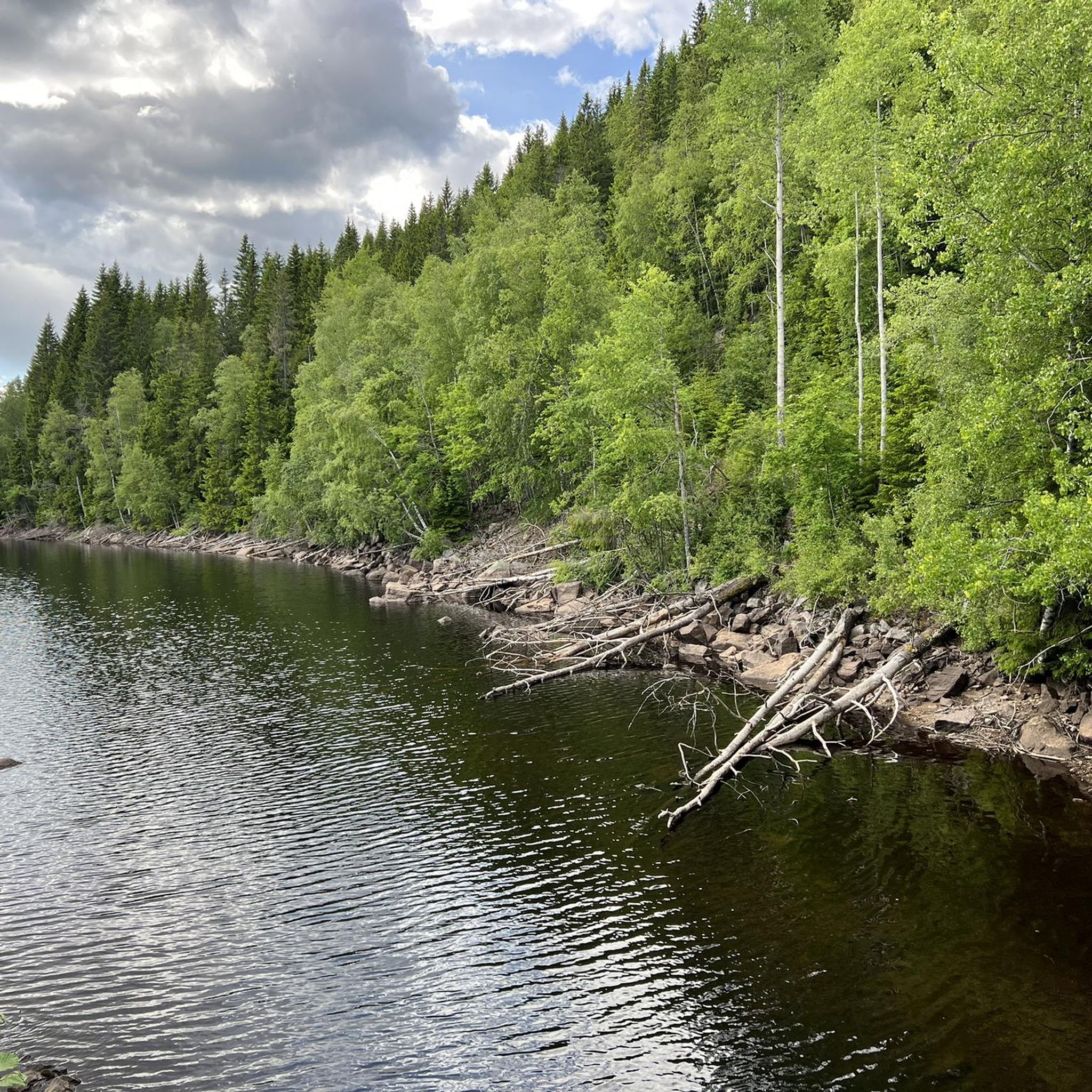
Jogging around Vestre Fyllingen offers routes through the expansive Nordmarka forest, just outside Oslo. The region is characterized by a picturesque lake environment, with Vestre Fyllingen itself situated at 349 meters above sea level, connected to a serene lake system. Dense, green forests provide varied paths, from wider forest roads to narrower trails, winding through a hilly landscape. This terrain offers a combination of flat sections and gentle to challenging ascents and descents.
Best jogging routes around Vestre Fyllingen
- The…
Last updated: June 28, 2026
4
runners
19.8km
02:28
450m
450m
Hard run. Very good fitness required. Mostly paved surfaces. Suitable for all skill levels.
8
runners
20.4km
02:13
380m
380m
Hard run. Very good fitness required. Mostly paved surfaces. Suitable for all skill levels.

Sign up for free
7
runners
34.8km
03:58
650m
650m
Hard run. Very good fitness required. Mostly paved surfaces. Suitable for all skill levels.
6
runners
34.7km
03:54
580m
580m
Hard run. Very good fitness required. Mostly paved surfaces. Suitable for all skill levels.
5
runners
34.5km
04:01
650m
650m
Hard run. Very good fitness required. Mostly paved surfaces. Suitable for all skill levels.
Our route recommendations are based on thousands of hikes, rides, and runs completed by other people on komoot.
Start today with a free account
Your next adventure awaits.
Login or Signup
Popular around Vestre Fyllingen
Tips from the Community

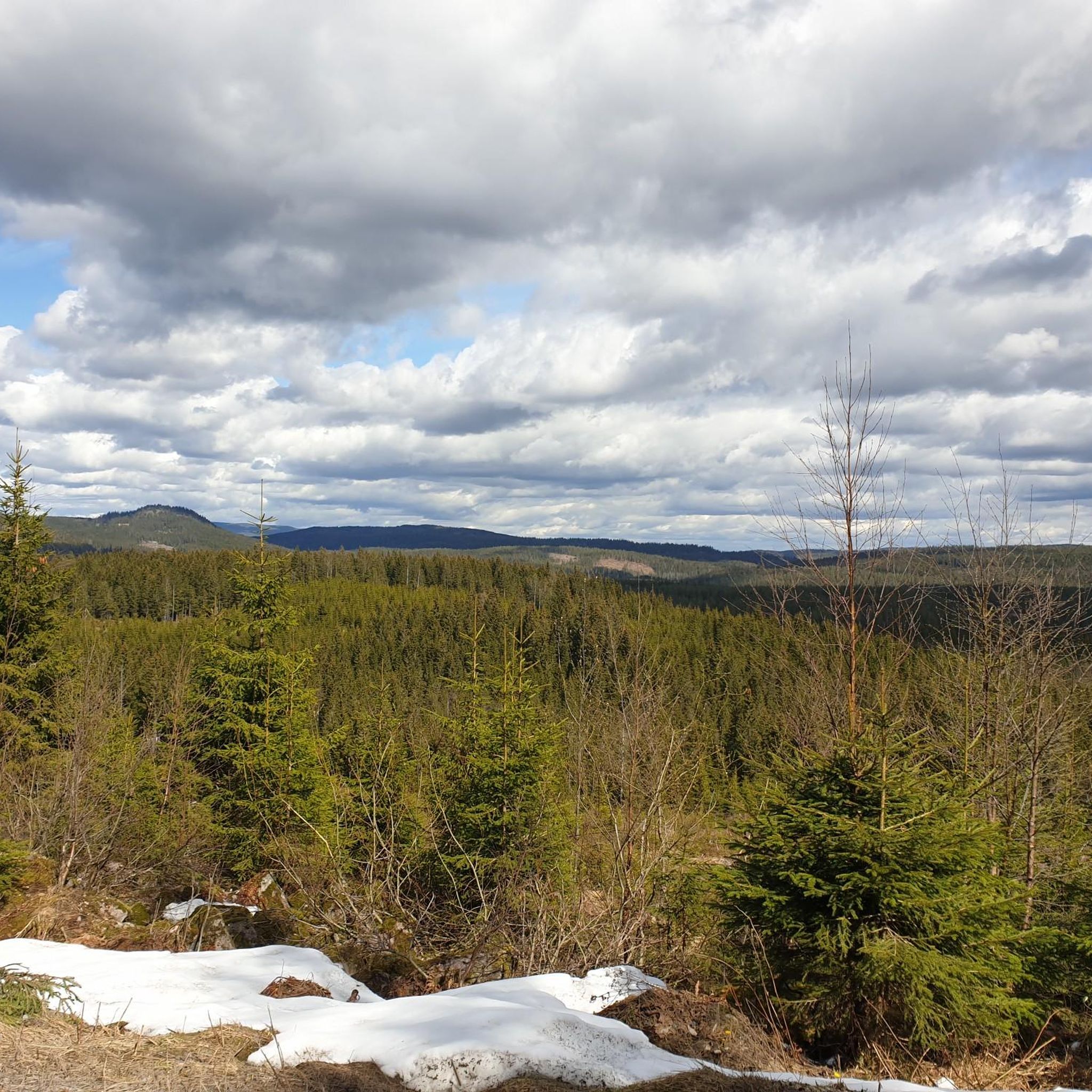
Enjoy the view of the forests and rolling hills from here.
0
0

Frequently Asked Questions
How many running routes are available around Vestre Fyllingen?
There are currently 6 curated running routes around Vestre Fyllingen featured on komoot. These routes offer diverse experiences through the Nordmarka forest, catering to those looking for a challenging run.
What kind of terrain can I expect on jogging trails near Vestre Fyllingen?
The terrain around Vestre Fyllingen is characterized by dense, green forests and a hilly landscape, typical of the broader Nordmarka region. You'll find a mix of wider forest roads and narrower trails, offering both flat sections and challenging ascents and descents. The picturesque lake environment, with Vestre Fyllingen itself, often accompanies these routes, providing tranquil views.
Are there any easy jogging routes in Vestre Fyllingen for beginners?
The routes currently featured around Vestre Fyllingen are generally considered difficult, offering a significant challenge with considerable elevation changes and longer distances. While there are no easy routes listed in this guide, the extensive network of trails in Nordmarka means there might be other, less strenuous options available in the wider area if you explore further on komoot.
What are some scenic highlights or natural features to look out for while running?
Vestre Fyllingen is a beautiful lake situated at 349 meters above sea level, connected to a serene lake system including Østre Fyllingen and Bjørnsjøen. Many routes offer tranquil views of these lakes. The dense forests and hilly terrain provide a refreshing natural experience, and you might encounter the Grenadertraséen trail, which crosses Vestre Fyllingen and includes a designated resting place amidst the natural beauty.
Are there any circular running routes around Vestre Fyllingen?
Yes, several of the featured routes are circular, allowing you to start and end at the same point. For example, the Kobberhaughytta – View of Bjørnsjøen loop from Sørkedalen is a popular circular option, offering views of Bjørnsjøen. Another challenging circular route is the Midtre Lysedammen – Nedre Lysedammen loop from Sørkedalen.
How long do the running routes typically take to complete?
The running routes around Vestre Fyllingen vary in length and duration due to their challenging nature. For instance, the Kobberhaughytta – View of Bjørnsjøen loop from Sørkedalen, which is 19.8 km, typically takes around 2 hours 28 minutes. Longer routes like the Gråberghaugen loop from Sørkedalen, at 34.7 km, can take approximately 3 hours 52 minutes.
Is Vestre Fyllingen accessible by public transport, or is parking available?
Vestre Fyllingen is integrated into a larger system of routes accessible via a forest road that runs from Sørkedalen to Kikut. While specific public transport details to the immediate vicinity are not provided, Sørkedalen often serves as a common starting point for routes in this part of Nordmarka, implying potential access points or parking facilities there for those driving.
What is the best time of year for running in Vestre Fyllingen?
The Nordmarka region, including Vestre Fyllingen, offers a beautiful experience throughout the year. However, for optimal running conditions, late spring, summer, and early autumn are generally preferred when trails are clear of snow and ice, and the weather is milder. The dense forests provide shade during warmer months, and the autumn colors are particularly scenic.
Are the running trails around Vestre Fyllingen suitable for families or dog-friendly?
The routes listed in this guide are generally long and difficult, which might be challenging for younger children. For dog-friendly runs, Nordmarka is generally welcoming to dogs, but it's always advisable to check local regulations regarding leashes and protected areas. Given the extensive trail network, you may find more suitable family-friendly or less strenuous dog-walking paths by exploring other komoot tours in the wider Nordmarka area.
What do other runners enjoy most about jogging in Vestre Fyllingen?
Runners frequently praise the immersive natural experience offered by Vestre Fyllingen. The combination of serene lake views, dense forests, and varied hilly terrain provides an invigorating workout and a refreshing escape. The extensive, well-maintained trail network within Nordmarka allows for long, uninterrupted runs through diverse natural settings, which is highly valued by the komoot community.
Are there any facilities like cafes or resting places along the routes?
While specific cafes directly on the routes are not detailed, the region research mentions a designated resting place along Vestre Fyllingen itself, offering an opportunity for a break amidst the natural beauty. For more substantial facilities, you might find options in areas like Sørkedalen, which is a common access point for these routes, or at larger hubs within the Nordmarka network like Kikut.
What is the longest running route available in this guide?
The longest running route featured in this guide is the Skamrek – Nibbitjern loop from Sørkedalen. This challenging trail spans 36.1 km and involves significant elevation changes, making it a demanding but rewarding run through the Nordmarka landscape.
Most popular routes around Vestre Fyllingen

Get inspired with the komoot mobile app


Explore more
Browse the best Running Trails & Routes in other regions.
