The best road cycling routes around Buvannet
4.5
(4)
344
riders
29
rides
Road cycling routes around Buvannet feature varied terrain, predominantly paved surfaces, and accessible natural features. The area offers numerous cycling paths suitable for different fitness levels, with routes traversing scenic landscapes. Cyclists can expect a mix of minimal elevation gains on some routes and more challenging ascents on others. The region provides opportunities for rides ranging from under two hours to over five hours, catering to a wide spectrum of cyclists.
Best road cycling routes around Buvannet
- The most popular…
Last updated: July 12, 2026
5.0
(1)
5
riders
17.9km
00:58
220m
220m
Moderate road ride. Great for any fitness level. Some segments of this route may be unpaved and difficult to ride.
25
riders
45.5km
01:59
360m
360m
Moderate road ride. Good fitness required. Mostly well-paved surfaces and easy to ride.

Sign up for free
8
riders
25.9km
01:15
300m
300m
Moderate road ride. Good fitness required. Mostly well-paved surfaces and easy to ride.
24
riders
55.4km
02:24
350m
350m
Moderate road ride. Good fitness required. Mostly well-paved surfaces and easy to ride.
3.5
(2)
64
riders
43.9km
02:06
510m
510m
Moderate road ride. Good fitness required. Mostly well-paved surfaces and easy to ride.
Get access to more routes and recommendations from other explorers.
Sign up for free
Already have an account?
Our route recommendations are based on thousands of hikes, rides, and runs completed by other people on komoot.
Start today with a free account
Your next adventure awaits.
Login or Signup

Tips from the Community

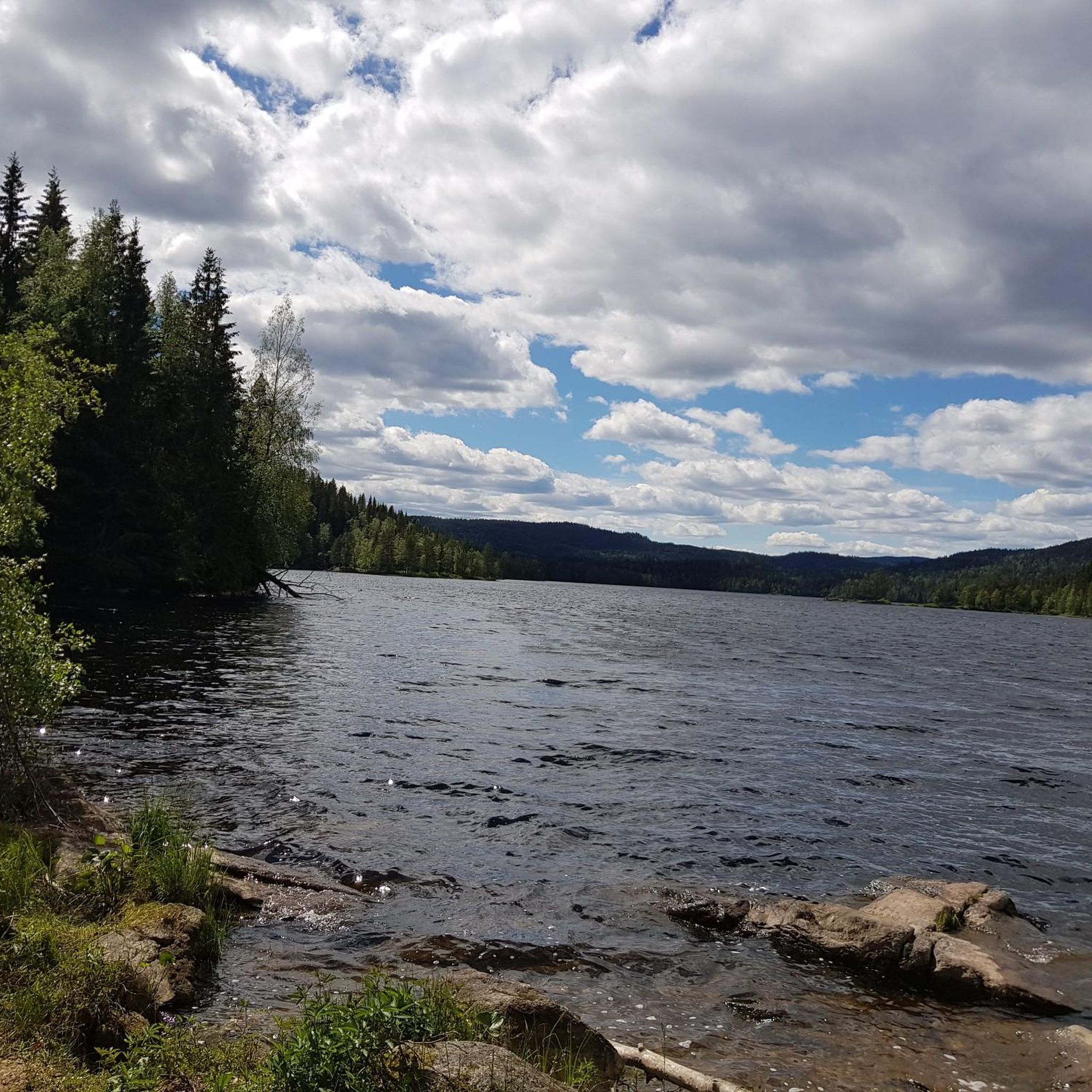
The Aurmoen landskapsvernområde is a nature reserve north of Oslo Airport. Here you will find a car park that serves as the starting point for the many paths that criss-cross the area. As it borders a military base, you should check in advance whether any exercises are taking place. You can find the barracks' telephone number here: https://www.forsvaret.no/om-forsvaret/tjenestesteder/sessvollmoen.
0
0

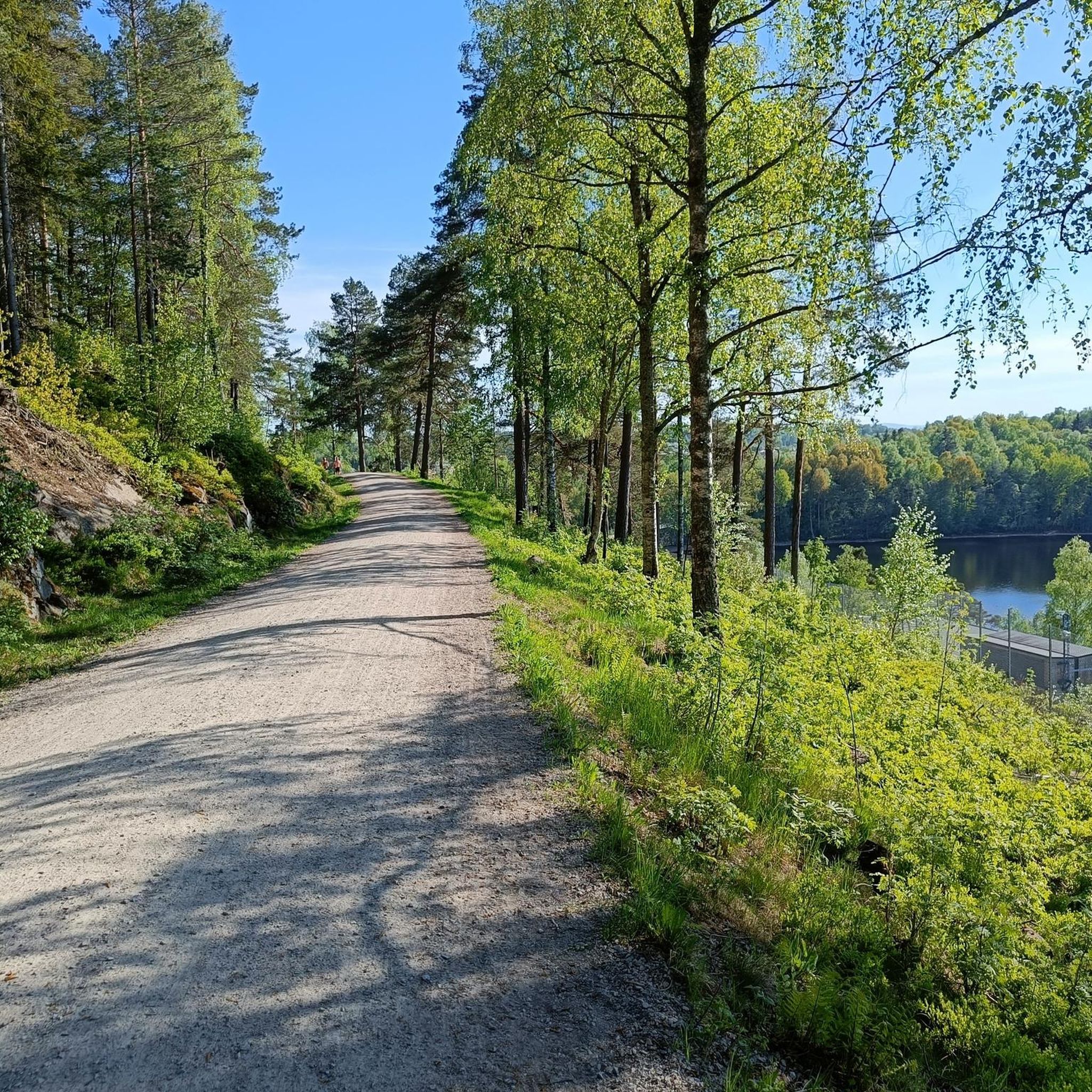
The Lillestrøm Bicycle Highway (Sykkelstamveien) is one of Norway’s showcase cycling routes, built as a fast, direct commuter corridor linking Lillestrøm with Oslo. It’s wide, smooth and fully separated from traffic, making it both safe and stress-free.
1
0
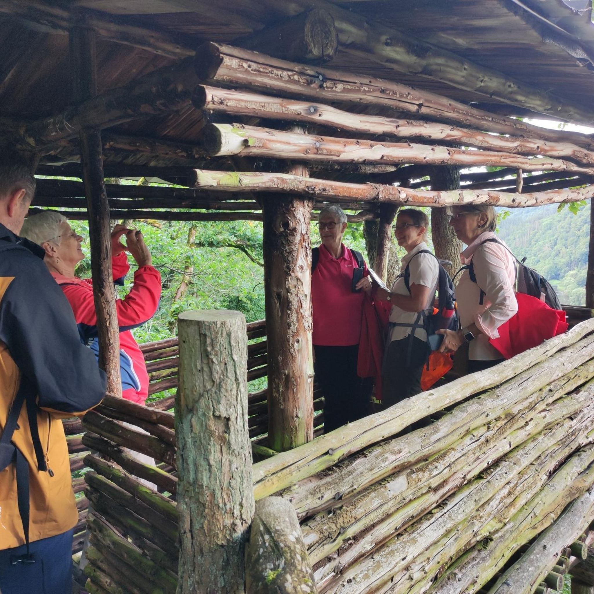
Consider stopping at Lien Hoa Dao Trang Buddhist Temple, the serene Lotus Temple serving the Vietnamese Buddhist community. Guided visits are often available – just contact the temple ahead for availability and schedules. Visitors are asked to dress modestly, arrive a few minutes early, remove shoes before entering, and observe quiet respect while inside.
0
0

Location at the center of a circular route that can be done both on foot and by bicycle
0
0

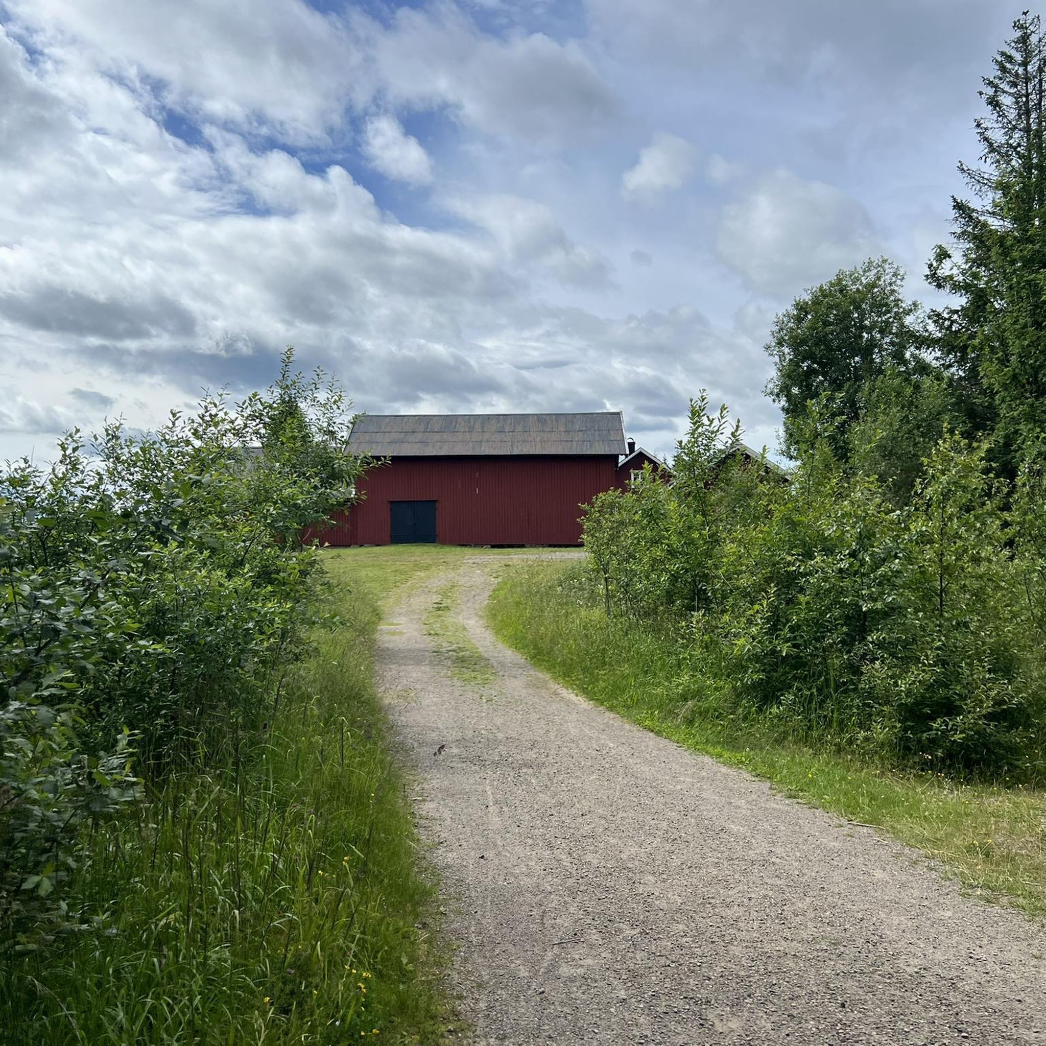
You will spot this church if you go through the village of Bjørke. As is common with many rural churches, it acts as a useful landmark for navigation. Take the chance for a brief pause during your bike tour to observe the building and its setting before continuing on your way.
0
0


Frequently Asked Questions
What kind of terrain can I expect on road cycling routes around Buvannet?
The road cycling routes around Buvannet feature varied terrain, predominantly with paved surfaces ideal for road bikes. While most routes are paved, some may include unpaved sections, particularly on more challenging paths. You'll encounter a mix of minimal elevation gains on easier loops and more demanding ascents on others, with some routes featuring up to 400m of elevation.
Are there road cycling routes suitable for beginners in Buvannet?
Yes, Buvannet offers several road cycling routes suitable for beginners. For instance, an easy 9.86 km loop from Åneby has minimal elevation gain (90m) and is suitable for all skill levels. Overall, there are 5 easy routes available in the region.
Are there challenging road cycling routes for experienced cyclists in Buvannet?
Experienced cyclists seeking a challenge will find options around Buvannet. A 38.5 km loop from Kulsrudfjellet, for example, features 400m of elevation and requires good fitness. Another option is the Hakadal Verk Hydropower Dam – Scenic Country Road loop from Åneby, which covers 43.8 km with over 500m of ascent. There is 1 difficult route and 24 moderate routes in the area that can provide a good workout.
How long do road cycling routes around Buvannet typically take?
The duration of road cycling routes around Buvannet varies significantly. You can find rides ranging from under two hours with around 150m of elevation, to over five hours for more extensive routes with over 450m of elevation. For example, the popular Roadbike loop from Hungerholt takes about 1 hour to complete, while the El Falco High-Speed Downhill loop from Tjernsbekk can take over 2 hours.
What scenic views or natural features can I see while road cycling around Buvannet?
Road cycling routes around Buvannet traverse picturesque landscapes. You can expect scenic vistas, such as the 'View of Romerike with benches,' offering opportunities for rest stops. The region is also part of the Romerike Geopark, suggesting unique geological formations and natural interest points along some routes. The broader Norwegian natural environment, with its forests and lakes, forms a beautiful backdrop for your rides.
What is the best time of year for road cycling in Buvannet?
The best time for road cycling in Buvannet is typically during the warmer months, from late spring to early autumn. This period offers the most favorable weather conditions, with less chance of snow or ice, making the paved surfaces safe and enjoyable for cycling. Always check local weather forecasts before heading out.
Are there family-friendly road cycling options around Buvannet?
Yes, Buvannet offers family-friendly road cycling options, particularly those with minimal elevation gain and mostly paved surfaces. An easy 9.86 km loop from Åneby is suitable for all skill levels, making it a good choice for families. These routes allow for a pleasant experience without demanding high fitness levels from younger riders or those new to cycling.
Is parking available near the road cycling routes in Buvannet?
While specific parking areas are not detailed for every route, Buvannet is an accessible outdoor destination. It is generally advisable to look for designated parking spots near trailheads or in nearby towns like Åneby, Kulsrudfjellet, or Gjerdrum, which serve as starting points for many routes. Always check local signage for parking regulations.
Can I reach road cycling routes around Buvannet using public transport?
Information on specific public transport links directly to every trailhead is not readily available. However, given the region's accessibility, it's likely that major towns near Buvannet, such as Åneby or Gjerdrum, have public transport connections. From these points, you may be able to cycle to the starting points of various routes. We recommend checking local public transport schedules for the most up-to-date information.
What do other road cyclists enjoy the most about road cycling in Buvannet?
Over 330 road cyclists have explored Buvannet using komoot, indicating a popular and well-regarded area for the sport. Cyclists often praise the region's varied terrain, the prevalence of paved surfaces, and the scenic landscapes that make for an enjoyable ride. The availability of routes for different fitness levels also contributes to its popularity among the cycling community.
Are there any loop routes for road cycling in Buvannet?
Yes, Buvannet features numerous loop routes, which are popular among road cyclists for their convenience. Examples include the Roadbike loop from Bekkeberga, a moderate 45.3 km path, and the Roadbike loop from Gjerdrum, covering 25.9 km. These loops allow you to start and end your ride at the same point, making logistics easier.
Most popular routes around Buvannet

Get inspired with the komoot mobile app


Explore more
Browse the best Road cycling routes in other regions.
